 Cre8Travel
CRE8TRAVEL · NEW YORK PLACES
Morrow Mountain State Forest
Morrow Mountain State Forest: A Closer Look
Discover
Morrow Mountain's height is part of its identity, but the view from a former fire tower is not part of a present visit. At 2,142 feet above sea level, the mountain is the highest elevation in Madison County. Its old 67-foot fire tower was dismantled in the 1970s. The 1,290-acre state forest around it has few amenities, making this a woodland outing to plan carefully rather than a developed summit attraction.
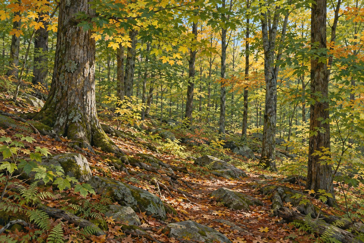
The property lies in Georgetown and Nelson, north of State Route 80. Sugar maple is among its most common trees, offering a particular woodland subject to notice along an appropriate route. Look at tree form, canopy texture and the way light reaches the ground. Autumn color is part of the species' appeal, but the exact appearance during a visit depends on conditions; no date needs to become a promise of peak foliage.
There are no formal hiking trails. The public forest access road winds from the northwest toward the southeast, carrying the forest's only designated trail for another recreational use. Hiking is permitted unless posted otherwise. Use the map to choose a road-based approach and return that fit your plans, rather than inventing a marked summit circuit or assuming that the county's highest point comes with an established viewing platform.
The wider town history explains how the landscape changed. Georgetown once had a substantial farming economy, producing potatoes, butter, hops, cheese and apples, with sheep supplying wool. Lumber cutting gave it the nickname Slab City, referring to the rounded outside of a log removed during milling. That is town history rather than a list of farm buildings or mill remains to find inside the modern forest. It gives context to the land's changing uses.
Between 1870 and 1930, Georgetown's population fell from 1,423 to 684. Fields and pastures increasingly returned to woodland as cultivation and grazing ceased. During 1933–1942, Civilian Conservation Corps workers planted trees, built roads and erected the fire tower and observation cabin on Morrow Mountain. That chronology separates a longer change in rural land use from particular reforestation work. The forest's present appearance belongs to more than one episode.
The New York State Department of Environmental Conservation (DEC) manages the property within the Tioughnioga planning framework. Fire Tower, Parker Hill, Morrow and Mack roads are approach references, with parking information provided for Parker Hill Road. Keep those road names tied to the map, not to an assumption that a historic visitor tower still stands. The old tower was replaced by a communications structure, rather than a modern public observation attraction.
Follow posted conditions and Leave No Trace guidance, leaving historical features and vegetation undisturbed. For a photograph, sugar maple and the surrounding woodland can tell a grounded story without reconstructing the missing tower. Morrow Mountain offers a useful meeting of elevation, forestry and town history: a high point in the county, a landscape once shaped by farming and timber, and a state forest whose modest access should remain central to the visit.
Fun facts
- Morrow Mountain State Forest covers 1,290 acres in Georgetown and Nelson, Madison County.
- Morrow Mountain reaches 2,142 feet, the highest elevation in Madison County.
- There are no formal hiking trails; the access road runs from northwest toward southeast.
- CCC workers planted trees, built roads and erected a 67-foot fire tower during 1933–1942.
- The fire tower was dismantled in the 1970s and is not a present visitor attraction.
Before you go
- Choose the approach and return on the DEC map rather than assuming a marked summit loop.
- Do not expect to climb the former fire tower.
- Match Parker Hill Road parking information to your route.
- Treat autumn color as condition-dependent rather than a date-based guarantee.
- Follow posted rules and Leave No Trace guidance.
Capture
- Use sugar maple forms and woodland textures as subjects along your actual route.
- Work with light available during the visit without promising a particular seasonal appearance.
- Let the present forest tell the reforestation story; do not imply a climbable historic tower in the scene.
 Lebanon State Forest
 Muller Hill State Forest
 Tioughnioga Wildlife Management Area
Social
Morrow Mountain reaches 2,142 feet, the highest elevation in Madison County. #Cre8Travel
The 1,290-acre Morrow Mountain State Forest has few amenities and no formal hiking trails. #Cre8Travel
The public forest access road winds from northwest toward southeast through Morrow Mountain State Forest. #Cre8Travel
Sugar maple is among Morrow Mountain's most common trees, giving a woodland walk a specific subject. #Cre8Travel
Georgetown's farming and lumber history helps explain the wider landscape around Morrow Mountain. #Cre8Travel
CCC work during 1933–1942 included tree planting, roads and a 67-foot fire tower on Morrow Mountain. #Cre8Travel
The old fire tower was dismantled in the 1970s. Plan a forest visit rather than a tower climb. #Cre8Travel
At Morrow Mountain, would elevation, sugar maples or the reforestation story guide your observations? #Cre8Travel
Hashtags