 Cre8Travel
CRE8TRAVEL · NEW YORK PLACES
Lebanon State Forest
Lebanon State Forest: A Closer Look
Discover
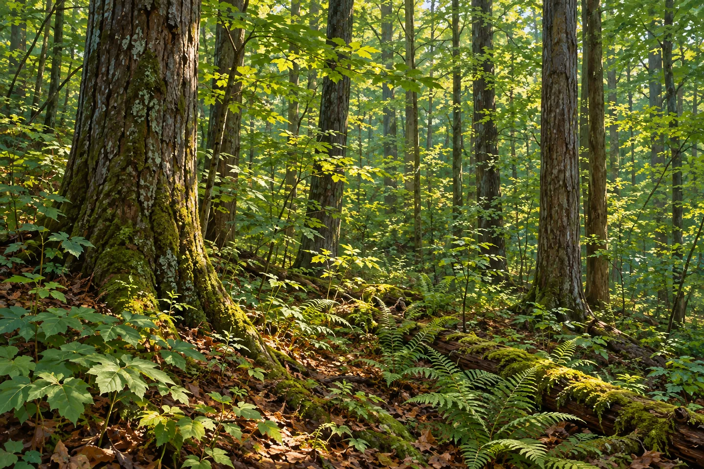
Lebanon State Forest sits on ridged ground between Earlville and Georgetown, with elevations reaching about 2,000 feet. Its 779 acres lie along the Madison-Chenango county border in central New York. The setting suggests a woodland visit shaped by terrain rather than visitor development: the property has no trails or facilities, although hiking is permitted unless posted otherwise. That distinction should guide the kind of outing planned here.
The ridges provide a particular way to think about the landscape. Instead of choosing a named loop and following its sequence of attractions, a visitor needs to work from the property map and actual public access. Elevation is part of the forest's location, not evidence of a prepared summit viewpoint. Look at the shape of the ground from an appropriate approach without making a panoramic view the reason the visit must succeed.
Water contributes another detail. The New York State Department of Environmental Conservation (DEC) identifies a waterfall of about eight feet on the eastern boundary. Its modest height belongs in the description, but the agency's property information does not establish a maintained route to it. Treat the fall as part of the natural context, rather than an invitation to find an unmarked descent. A woodland outing need not depend on reaching that particular feature.
Parking is split between two roads. There are two parking areas on Bisby Road and two on Carncross Road. Choose the appropriate one using the map and the conditions at the time of your visit, rather than assuming all four offer the same starting point. A roadside parking reference describes a place to begin planning; it does not create a trail connection or determine a route through the forest beyond it.
The roads also have different winter arrangements. Bisby Road is plowed, while Carncross Road is plowed in Chenango County only as far as the forest's southern boundary. That limit matters when looking at an approach on a map: the continuation of a road line is not a promise of a plowed drive. Check the specific approach before setting out, especially if snow conditions influence the choice of parking or the practicality of the outing.
The Lebanon Hills Unit Management Plan supplies the wider management framework for the forest. Within the property itself, the useful visiting themes are already clear: ridge terrain, modest water detail and public land with little recreational development. For photography, a close study of woodland texture can be a more grounded subject than a distant vista. Let a scene available from an appropriate position guide the composition rather than trying to create access to a specific feature.
Follow posted rules and Leave No Trace guidance, keeping public boundaries and the absence of prepared trails in mind. This setting will suit some plans better than others, and the decision should rest on the actual route and conditions rather than the attraction name alone. Lebanon State Forest offers a simple, particular landscape description, with ridges rising through central New York woodland. Its character can be appreciated without inventing a trail system, a summit platform or an effortless route to the waterfall.
Fun facts
- Lebanon State Forest covers 779 acres between Earlville and Georgetown near the Madison-Chenango county border.
- The ridged terrain reaches about 2,000 feet elevation.
- There are no trails or facilities, though hiking is permitted unless posted otherwise.
- DEC identifies a waterfall of about eight feet on the eastern boundary without a maintained route description.
- Bisby Road is plowed; Carncross Road winter plowing reaches only the southern forest boundary from Chenango County.
Before you go
- Plan with the map and actual public access because there are no prepared trails.
- Choose the appropriate Bisby or Carncross Road parking reference.
- Check winter access for the specific road rather than assuming both are plowed through the forest.
- Do not plan an unmarked waterfall descent from a boundary description.
- Respect posted conditions, property boundaries and Leave No Trace guidance.
Capture
- Use woodland textures visible from an appropriate approach rather than assuming a prepared overlook.
- Let the terrain's shape guide a grounded composition without climbing for a summit panorama.
- Photograph water only if it is actually visible from a suitable position; no waterfall approach is implied.
 Earlville State Forest
 Morrow Mountain State Forest
 Muller Hill State Forest
Social
Lebanon State Forest covers 779 acres between Earlville and Georgetown in central New York. #Cre8Travel
Ridges in Lebanon State Forest rise to about 2,000 feet; elevation does not establish a prepared viewpoint. #Cre8Travel
Lebanon has no trails or facilities, although hiking is allowed unless posted otherwise. #Cre8Travel
DEC describes an eight-foot waterfall at Lebanon's eastern boundary, without a maintained approach route. #Cre8Travel
Two parking areas on Bisby Road and two on Carncross Road provide different planning references. #Cre8Travel
Carncross Road winter plowing from Chenango County ends at the forest's southern boundary. #Cre8Travel
A forest visit should fit the actual access. At Lebanon, the absence of prepared trails is part of the choice. #Cre8Travel
Ridge terrain and simple woodland detail can define Lebanon State Forest without an invented summit view. #Cre8Travel
Hashtags