 Cre8Travel
CRE8TRAVEL · NEW YORK PLACES
Jessup River Wild Forest
Jessup River Wild Forest: Reading the Woodland Connections
Discover
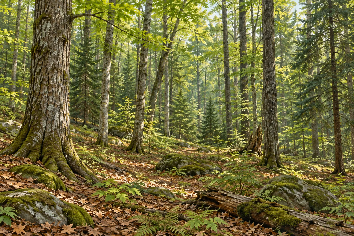
Jessup River Wild Forest covers 47,350 acres of Forest Preserve in Hamilton County. Across Arietta, Indian Lake, Lake Pleasant and Wells, its routes connect woodland destinations with a wider Adirondack landscape. The forest is especially interesting when approached through those connections. Named trails reveal different ways of moving across the land: beside a river, along a former telephone corridor, between established road approaches or around a seasonal woodland circuit. Choose one of these lines and give it enough time to become a complete outing.
Miami River Trail makes the forest's relationship with neighboring public land particularly clear. It extends one mile from Mason Lake to the West Canada Lake Wilderness boundary. That compact connection gives a walk a defined geographical purpose. The boundary marks a change in the public land unit, while the trees and terrain continue across a larger landscape. For a visit centered on Jessup River Wild Forest, the mapped line and its return provide a useful starting framework.
Old Telephone Trail has a longer reach. Its 4.1-mile course runs from the Old Telephone Line trailhead toward Indian Lake and crosses Route 30. The name adds a human connection to the woodland, suggesting the practical routes that once linked places through this country. DEC identifies the trail by that name; its present alignment is the detail to follow on the current map. The road crossing also belongs in the day's planning, along with the chosen turnaround and return distance.
The Piseco-Perkins Clearing Trail offers another substantial connection. From Airport Road near Piseco Airport, it extends 7.2 miles toward the Perkins Clearing Conservation Easement. The route has junctions with other paths, including the Mossy Vly spur. Looking at this longer line on a map helps explain the forest's position between named approaches and adjoining lands. For walkers, selecting a manageable section is part of understanding the route, with both the distance already travelled and the return still ahead.
Foxy Brown Trail gives the woodland a seasonal circuit. DEC describes a 5.6-mile loop near the Northville-Placid Trail and Piseco Airport for skiing and snowshoeing. The forest's ski routes are ungroomed, so the experience depends on actual snow and surface conditions. The loop's appeal lies in travelling through a connected woodland setting, where a change in light or the spacing of trees can give successive sections a different character. Consult the current winter information before choosing that outing.
The Northville-Placid Trail supplies a further regional link. A two-mile foot-trail section within this unit connects the West Canada Lake and Silver Lake wilderness areas. Its presence gives a local forest visit a sense of the much longer journeys passing through the Adirondacks. At a junction, the map can reveal that broader context even during a short walk. A small section of trail becomes part of a larger pattern of public lands and established travel routes.
Use current DEC notices and mapping to choose the specific approach and activity. Public forest, wilderness and conservation-easement lands can carry different permissions, so keep the selected route within its documented scope. Jessup River Wild Forest rewards that clear plan with several kinds of woodland discovery: a river connection, an old utility route, a longer cross-forest line or a winter loop. Give the outing one main thread, and let the forest's changing details fill the space between its mapped points.
Fun facts
- Jessup River Wild Forest covers 47,350 acres in Hamilton County.
- Miami River Trail reaches the West Canada Lake Wilderness boundary after one mile.
- Old Telephone Trail extends 4.1 miles toward Indian Lake.
- A two-mile Northville-Placid Trail section connects two wilderness units through this forest.
Before you go
- Choose a particular trailhead and return plan from current DEC mapping.
- Account for the Route 30 crossing when considering Old Telephone Trail.
- Check actual winter conditions before selecting an ungroomed Foxy Brown outing.
Capture
- Use the selected woodland route as a subtle leading line between layers of tree trunks.
- Compare close bark textures with softer canopy layers visible from established access.
- In winter conditions suitable for the planned outing, look for contrasts between snow and dark branches without leaving the route.
 Independence River Wild Forest
 Vanderwhacker Mountain Wild Forest
 Taylor Pond Wild Forest
Social
Jessup River Wild Forest spans 47,350 acres of Hamilton County. #Cre8Travel
Miami River Trail links Mason Lake with a wilderness boundary.
Old Telephone Trail adds a named utility corridor to the woodland map.
Piseco-Perkins Clearing Trail supplies a longer cross-forest connection.
Foxy Brown offers a 5.6-mile seasonal ski and snowshoe loop.
The forest’s ski routes are ungroomed.
A Northville-Placid Trail section joins two neighboring wilderness areas.
Would a river connection or a woodland circuit shape your visit?
Hashtags