 Cre8Travel
CRE8TRAVEL · NEW YORK PLACES
Independence River Wild Forest
Independence River Wild Forest: Pond Paths and a Railway Trace
Discover
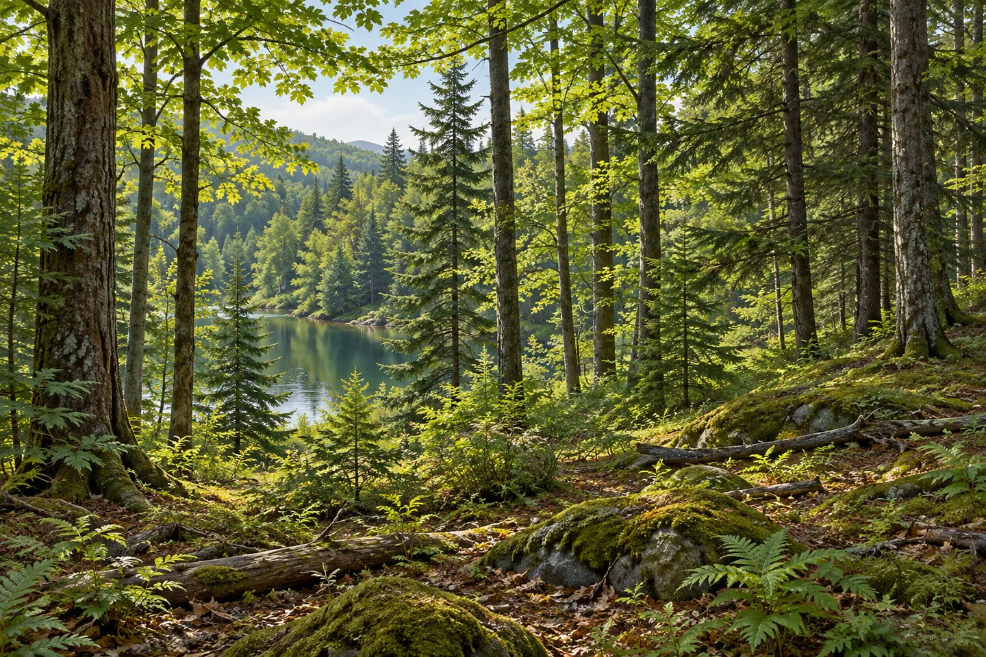
Independence River Wild Forest offers a network of woodland, river and pond approaches in the western Adirondacks. More than a hundred miles of trails and roads cross wooded and open habitats, giving the larger forest many possible starting points. A visit becomes more interesting when one of those threads provides its shape. Follow a riverbank, choose a pond destination or explore a route that crosses the line of a historic railway, allowing the details of that setting to carry the walk.
Beach Mill Trail has a clear relationship with the Independence River. Its 5.3-mile course follows the river's north bank from the end of Beach Mill Road. The route connects with other forest paths near the river, making it important to plan a chosen section and return before setting out. A river walk has its own changing perspective: sometimes the water gives the journey direction, while at other points the woodland becomes the closer subject.
Panther Pond supplies a different approach. The trail reaches the pond's lean-to after 1.1 miles from Smith Road, then continues another 3.2 miles toward the Independence River. Fish Trail reaches the river after 1.7 miles from the end of Stony Lake Road. Beach Mill, Panther Pond and Fish trails meet immediately north of a footbridge on the river. These connections are useful landmarks when reading the map, although each route's starting area and full return distance deserve separate attention.
Halfmoon Lake offers a more compact destination. Its trail extends 0.9 mile from the end of Halfmoon Lake Road, off Number Four Road. A primitive campsite is part of the lake setting. The shorter approach makes the destination easier to understand as a single outing: woodland travel followed by a pause near water, with the return following the selected route. Pond visits also invite close observation of the transition between tree cover and the opening created by the water.
The Centennial Recreational Ski Trails introduce another layer of forest history. Their combined network totals 4.9 miles, with trailheads on Steam Mill Road and Partridgeville Road. Scoot Trail forms the main 3.2-mile connection between them. It travels through mixed hardwood and conifer woodland over gently rolling terrain, giving the visitor both changing tree forms and a clear line through the forest. Conditions determine the appropriate seasonal activity on these routes.
About a mile from the southern trailhead, Scoot crosses the former Glenfield and Western railway line. That documented crossing puts an earlier transport landscape within the present recreational one. The railway name provides a useful historical reference while the surrounding trees remain the immediate scene. A walk can hold both scales at once: an old corridor that once linked places, and the smaller patterns of trunks, branches and ground that now surround its crossing.
Choose the day's route using current DEC mapping and notices. The neighboring Independence River State Forest and the wider horse-trail system have their own boundaries and approaches, so confirm the named public unit and starting point. Leave room in the plan for the return journey and for unhurried observation. Independence River Wild Forest can then unfold through a manageable sequence: a mapped junction, a pond reached through trees, a river connection or a railway trace that adds another chapter to the woodland.
Fun facts
- The forest has more than a hundred miles of trails and roads.
- Beach Mill Trail follows the north bank of the Independence River.
- Halfmoon Lake is reached by a 0.9-mile trail from its named road.
- Scoot Trail crosses the historic Glenfield and Western railway line.
Before you go
- Choose one starting area and calculate the return using the current official map.
- Keep the Wild Forest distinct from neighboring Independence River State Forest.
- Use the mapped Centennial junctions when planning a seasonal woodland outing.
Capture
- From the selected route, use mixed conifer and broadleaf trunks as layered woodland subjects.
- At suitable pond access, leave some water between foreground trees to give the scene depth.
- Look for soft light across the forest floor along the Centennial route, keeping the composition within established access.
 Three Mile Bay Wildlife Management Area
 Jessup River Wild Forest
 Vanderwhacker Mountain Wild Forest
Social
Independence River Wild Forest offers river, pond and woodland approaches. #Cre8Travel
Beach Mill Trail follows the river’s north bank.
Panther Pond is reached after 1.1 miles from Smith Road.
Fish Trail provides another mapped river connection.
Halfmoon Lake has a 0.9-mile approach from its named road.
Scoot is the main connection in the Centennial ski-trail network.
The route crosses the historic Glenfield and Western railway line.
Which thread would shape your walk: pond, river or railway history?
Hashtags