 Cre8Travel
CRE8TRAVEL · NEW YORK PLACES
Hurricane Mountain Wilderness
Hurricane Mountain Wilderness: Several Approaches to an Adirondack Landscape
Discover
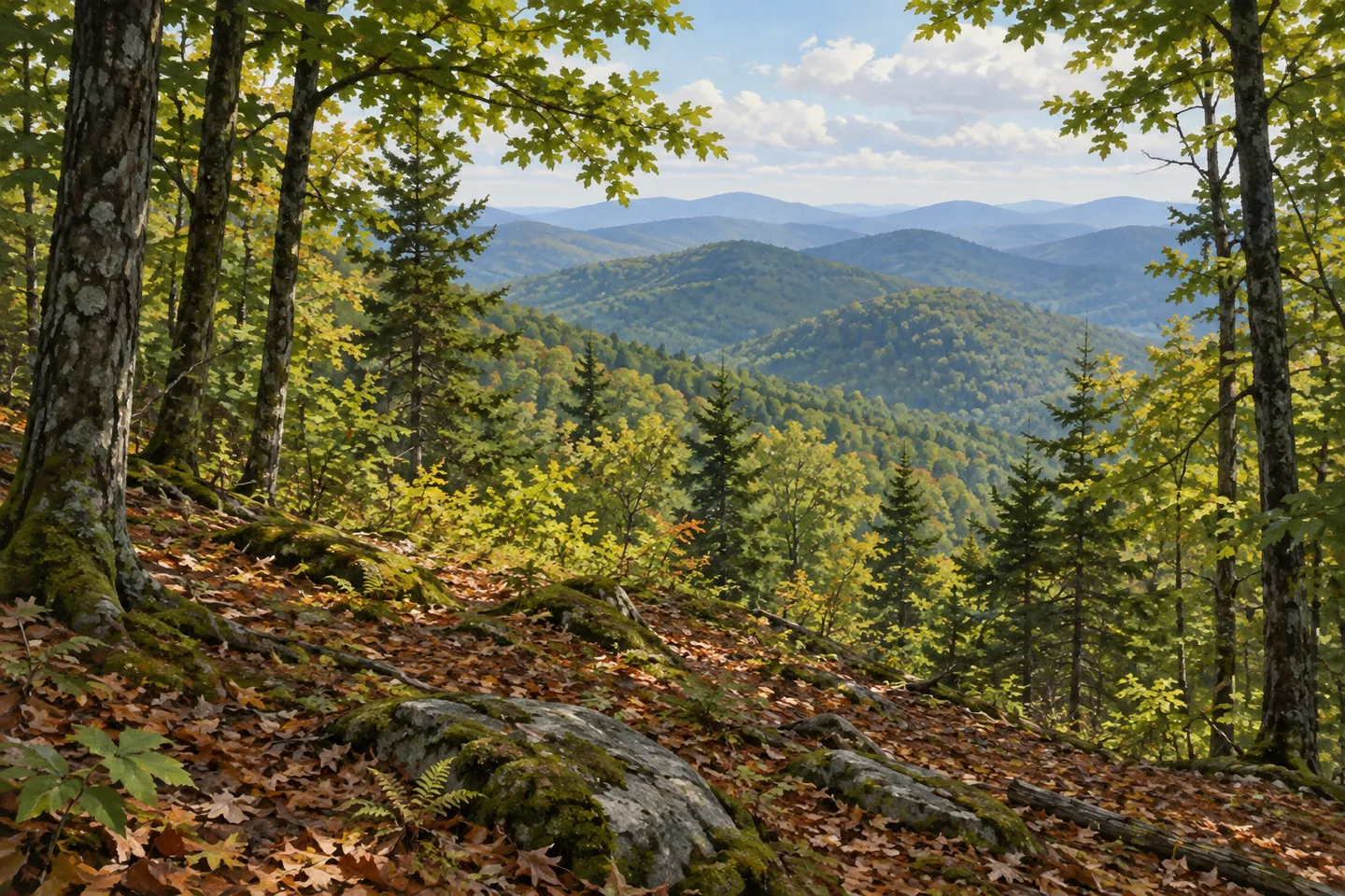
Hurricane Mountain Wilderness is a landscape of mountainous uplands with several different approaches. Its 13,784 acres extend through Jay, Lewis, Keene and Elizabethtown in Essex County. Hurricane Mountain is the most prominent feature, with an open rocky summit and a 35 foot fire tower, but the protected setting also includes smaller mountains, wooded routes and Lost Pond. A visit can center on one of those destinations while retaining the broader picture of a wilderness that reaches beyond a single summit climb.
The namesake mountain has three described approaches. From Hurricane Mountain Lane, the eastern trail follows a route that becomes steep beyond the former observer-station road. The Route 9 Napproach combines rougher climbing with more moderate sections and includes rerouted lower trail and footbridges. A northern route begins at Crow's Clearing, reached from O'Toole Road. These are different starting points with their own distances and elevation gains, rather than interchangeable entrances to the same short walk.
Their arrangement gives the map a practical role. The listed approaches extend roughly 2.7 to 3.4 miles toward the summit, with significant climbing on each. Choose one route and its return according to current conditions and the outing intended. The reward described by DEC is a broad view that can include the High Peaks, Lake Champlain and Vermont's Green Mountains. Weather and visibility determine what is actually seen, while the rocky summit setting calls for an appropriate established viewing position.
Lost Pond and Weston Mountain provide another thread. From Crow's Clearing, the route initially follows the northern Hurricane approach before branching toward the pond. DEC describes the pond at about 2.1 miles from the trailhead, with Weston Mountain another 0.3 mile and 275 feet of climbing beyond it. The sequence links woodland, water and higher ground in a particular way. A pond-centered outing and a continuation toward Weston are separate choices, with the full return still part of the plan.
The Crow mountains add further variety. Little Crow's route climbs from Hurricane Road, while Big Crow can also be approached from Crow's Clearing. The Soda Range connects Big Crow and Weston Mountain along the Nun-da-ga-o Ridge Trail. Its ledges and changes in terrain are part of a longer, more involved route system. Rather than combining every named mountain into one itinerary, use the official map to understand which section belongs to the kind of day being planned.
The forest's management record distinguishes the 2010 wilderness plan from the 2014 Hurricane Mountain Fire Tower Historic Area plan. That separate attention to the tower reflects the meeting of protected natural land and a surviving observation structure. The tower is one particular feature, while wooded slopes, pond approaches and ridge connections provide other ways to consider the landscape. A photograph can emphasize those natural relationships without depending on a climb up the structure itself.
Current backcountry notices and the correct trailhead information should guide the final choice. Jay Mountain/Wells Hill Road along the neighboring wilderness boundary is seasonal and unplowed in winter, so a mapped road does not establish the same approach in every season. Give one clearly chosen destination enough time to reveal its setting. Hurricane Mountain Wilderness offers a combination of wooded travel, smaller waters and open higher ground, with the route selected deciding which part of that larger Adirondack landscape comes into focus.
Fun facts
- Hurricane Mountain Wilderness covers 13,784 acres in Essex County.
- Three described routes approach Hurricane Mountain’s summit.
- A 35 foot fire tower stands on the rocky summit.
- Lost Pond and Weston Mountain offer another connected landscape within the unit.
Before you go
- Select one approach with its actual climbing and return in mind.
- Check current backcountry conditions and the correct trailhead.
- Do not assume winter plowing on Jay Mountain/Wells Hill Road.
Capture
- Frame wooded foreground and a distant view only from an established position.
- Use a modest pond-and-woodland composition on an appropriate route.
- Avoid recreating exact tower architecture or summit geology without reference.
 Hoffman Notch Wilderness
 Galen Wildlife Management Area
 Serpentine Art and Nature Commons
Social
Hurricane Mountain Wilderness covers 13,784 acres of Adirondack uplands. #Cre8Travel
The namesake summit is one feature within a wider landscape of smaller mountains and wooded routes. #Cre8Travel
Three different approaches lead toward Hurricane Mountain. #Cre8Travel
A 35 foot fire tower marks the open rocky summit setting. #Cre8Travel
Lost Pond and Weston Mountain offer a sequence of woodland, water and higher ground. #Cre8Travel
The Crow mountains and Soda Range add distinct choices within the wider trail system. #Cre8Travel
The wilderness and the tower historic area have separate management plans. #Cre8Travel
Choose a specific route and let its actual terrain and current conditions shape the outing. #Cre8Travel
Hashtags