 Cre8Travel
CRE8TRAVEL · NEW YORK PLACES
Huntersfield State Forest
Huntersfield State Forest: A Visitor Guide
Discover
Huntersfield State Forest offers a clear destination for a mountain walk: the lean-to near the summit of Huntersfield Mountain. The 1,300-acre property crosses from Conesville in Schoharie County into Ashland and Prattsville in Greene County. Its elevation ranges from about 2,000 feet to approximately 3,400 feet at the summit, so the forest map describes a substantial change in terrain rather than a level woodland circuit.
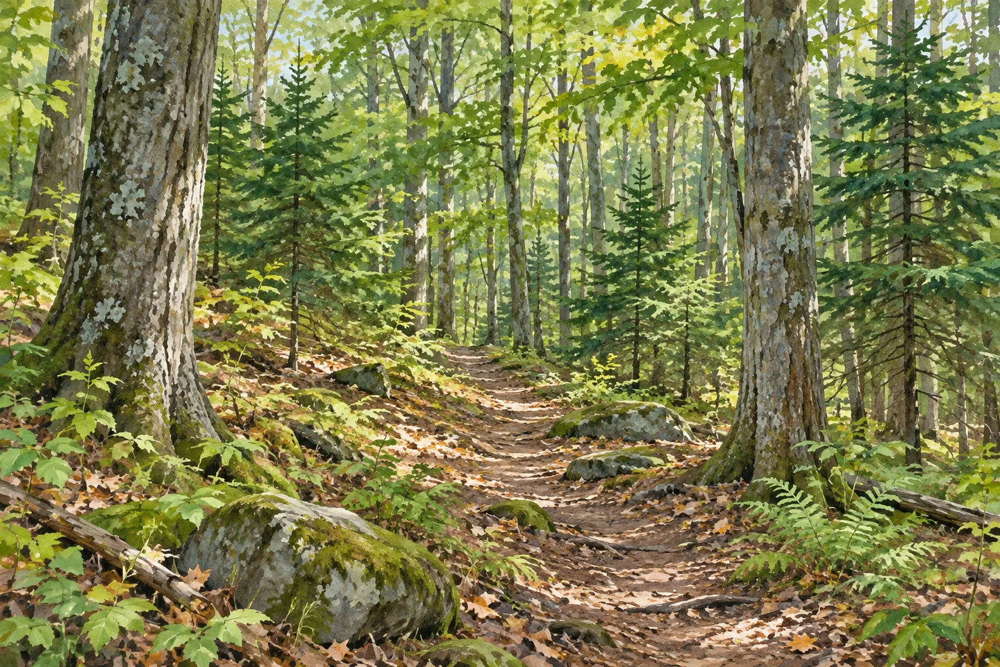
The tree cover includes evergreen plantations and mixed evergreen and northern hardwood stands. Higher portions are mainly northern hardwood forest. Those broad categories give you something to notice as you walk, without requiring a list of tree species that the property description does not supply. Look at the shapes of the canopy and the arrangement of the trees, leaving flowers, bark and other natural materials in place.
The designated foot trail begins at the shale pit on the Huntersfield Truck Trail and runs just over a mile to the lean-to near the summit. The distance describes that approach to the shelter, rather than a complete return walk or every connecting path. Allow time for the trip back and keep enough daylight for the descent. The shale pit is a useful route landmark; it is not an invitation to enter an excavation or collect material.
From the lean-to, a spur heads east to connect with the Long Path Hiking Trail on Ashland Pinnacle State Forest. That connection adds possibilities, but it also changes the scale of the outing. Before extending a walk, consult current mapping and decide where you will turn around. A named long-distance route does not make an improvised extension a loop back to your car.
For arrival, DEC's directions approach from Route 23 west of Windham through County Routes 63 and 10, then Schrader Road and Huntersfield Road. Study the full current directions before driving. An original visitor account published in June 2025 describes a steep approach and advises against making that drive in poor weather. The same account describes a wooded true summit and views from the shelter area, a useful reminder that reaching a summit and finding an open panorama are different experiences.
The lean-to provides the forest's identified overnight shelter. At-large primitive camping is also allowed under state-land rules, with dispersed sites at least 150 feet from water, roads and trails. A Forest Ranger permit is required for stays longer than three nights or groups of ten or more. Check present shelter information and camping requirements before depending on an overnight stop; a lean-to symbol does not reserve a place for your group.
Cross-country skiing and snowshoeing are permitted on the hiking trails. Mountain biking, snowmobiling and horseback riding are also allowed on the property, but DEC does not identify designated or maintained trails for those activities. Match the outing to actual terrain and current conditions instead of taking permission as a promise of a prepared surface.
Prattsville and Windham are the nearby communities named for supplies, food, fuel and lodging. Organize those needs before the forest approach. On the walk itself, the shelter, the changing woodland and the trail connection give the day a concrete shape. Enjoy the view if weather and vegetation allow it, but leave room for a satisfying forest walk even when clouds or trees limit what you can see.
Fun facts
- Huntersfield State Forest covers 1,300 acres across Greene and Schoharie Counties.
- Elevation rises from about 2,000 feet to approximately 3,400 feet.
- The designated trail runs just over one mile from a shale pit to the lean-to near the summit.
- A spur connects east to the Long Path on Ashland Pinnacle State Forest.
Before you go
- Plan a return distance as well as the just-over-one-mile approach to the lean-to.
- Check current road and weather conditions for the forest approach.
- Use the current map before extending east toward the Long Path.
- Check primitive-camping and permit requirements before planning an overnight stay.
Capture
- Use the shelter and surrounding woodland as composition subjects without obstructing visitors.
- If a view is available, photograph from a safe established position; do not assume the true summit is open.
 Cairo Lockwood State Forest
 Otsquago State Forest
 Cranberry Creek Wildlife Management Area
Social
Huntersfield State Forest extends across Greene and Schoharie Counties, with a lean-to near the mountain summit. #Cre8Travel
The foot trail from the shale pit to Huntersfield lean-to is just over one mile. Plan the return too. #Cre8Travel
Huntersfield ranges from about 2,000 to 3,400 feet in elevation. #Cre8Travel
A spur from Huntersfield lean-to connects east to the Long Path on Ashland Pinnacle State Forest. #Cre8Travel
Evergreen plantations and northern hardwoods shape Huntersfield’s woodland setting. #Cre8Travel
Skiing and snowshoeing are permitted on Huntersfield’s hiking trails; current conditions still matter. #Cre8Travel
A summit destination does not guarantee a panorama. Leave time to appreciate Huntersfield’s woodland walk. #Cre8Travel
Arrange food and supplies in Prattsville or Windham before heading into Huntersfield State Forest. #Cre8Travel
Hashtags