 Cre8Travel
CRE8TRAVEL · NEW YORK PLACES
Ellison Park
Ellison Park: A Creek, a Floodplain and a County Beginning
Discover
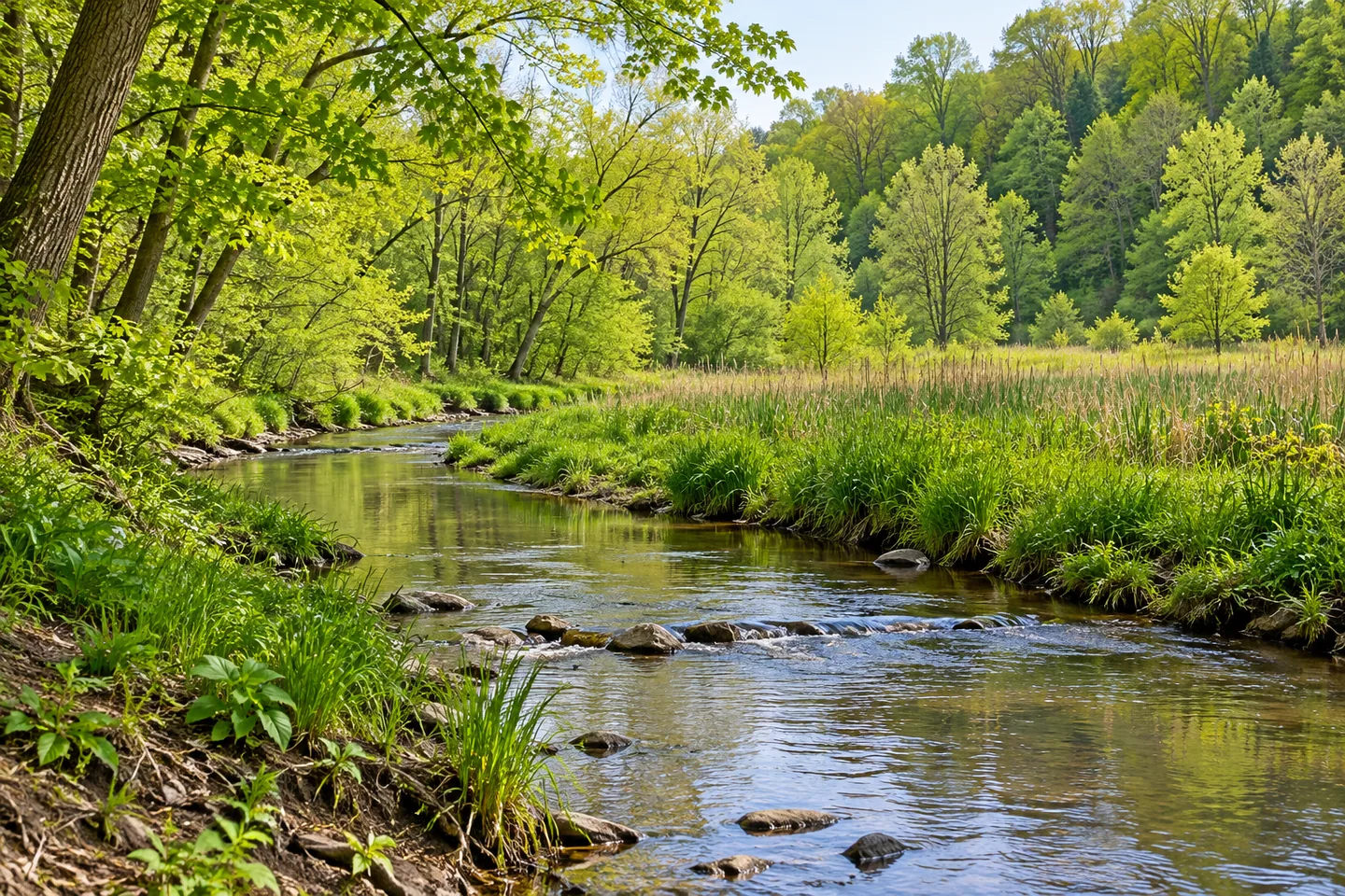
Ellison Park changes character between its wooded slopes and the level ground beside Irondequoit Creek. That contrast gives this 447-acre Rochester-area park a useful theme for a visit: look at how water and terrain shape different experiences within one public landscape. Paths, ponds, woodland and a creek launch sit alongside playing fields and picnic facilities. The result is a park with both a long local history and an everyday role in outdoor recreation.
Its public story began in December 1926, when Monroe County accepted approximately 200 acres from Frank T. Ellison and his wife in memory of Frank's father, Nathaniel. The county identifies Ellison as its first park. That original gift is part of the history of the present 447-acre property, rather than the size of everything now within it. A visit can therefore begin with two scales in mind: the earlier donation that started a county park and the larger landscape available today.
Irondequoit Creek provides the central geographical thread. The county describes natural woodland, steep slopes and a level floodplain, so a single picture of flat grass or shaded trees cannot explain the whole place. Near the water, pay attention to the difference between an open wetland setting and the more enclosed feel of woodland. These changes make the landscape interesting even when the outing is short, and they give a reason to consult the color-coded trail map before choosing a route.
Several described trails offer distinct subjects. Coyote Den Trail is listed as a 1.1-mile walk one way, passing a few ponds. Mill Race Trail is a shorter, 0.4-mile walk where the county highlights the transition between wetlands and forest. Butlers Gap Trail is listed at 0.7 mile one way and includes an intersection overlooking wetlands. Those distances belong to separate routes; they should not be added together and assumed to create a single circuit. Choose the setting and length that fit the day.
The park also contains layers of earlier local use. The county's history describes Indian Landing as a starting point for a portage route and recalls the settlement of Tryon, where Irondequoit Creek supported trade. Fort Schuyler, encountered in the park's interpretation, is a replica rather than an original surviving fort. These details can give the creek another meaning beyond scenery, while still leaving room for a visit centered on woodland and water rather than a comprehensive historical tour.
Recreation takes several forms here. A non-motorized, car-top boat launch is identified near Circle Shelter on the south side of the park. Elsewhere are athletic fields, a playground, tennis and pickleball courts, and a seasonal disc-golf course. The off-leash dog park has a registration requirement; that designated use is distinct from the general rule requiring pets to be leashed. Consult current county information for the facilities that matter to your visit, especially when seasonal arrangements are involved.
The main entrance lies on Blossom Road in Penfield, east of Route 590. Bring the county map and build the outing around a few connected interests: a pond-side trail, a wetland transition or time watching the creek. For photographs, compare the broad floodplain with the close texture of trees. Ellison becomes more memorable when its individual settings remain distinct, revealing how a county park can combine natural terrain, historical interpretation and ordinary daily use.
Fun facts
- Ellison was Monroe County’s first park, established through a December 1926 land gift.
- The present park covers 447 acres of woodland, slopes and Irondequoit Creek floodplain.
- Coyote Den Trail is listed at 1.1 miles one way; Mill Race Trail at 0.4 mile.
- Fort Schuyler in the park is a replica.
Before you go
- Use the county’s color-coded trail map to choose separate routes.
- Check registration requirements before using the designated off-leash dog park.
- Treat seasonal facilities separately from general park access.
Capture
- Contrast a broad floodplain scene with the close texture of woodland.
- Study a pond’s edge from the available trail.
- Use changes between wetland vegetation and forest as the visual theme.
 Highland Park
 Durand Eastman Park
 Amagansett National Wildlife Refuge
Social
Ellison Park connects wooded slopes with the level Irondequoit Creek floodplain. #Cre8Travel
A December 1926 gift began Monroe County’s first park.
The original roughly 200-acre donation is distinct from today’s 447-acre park.
Mill Race Trail highlights a transition between wetlands and forest.
Coyote Den Trail is listed as 1.1 miles one way, passing several ponds.
Fort Schuyler is a replica within the park’s historical interpretation.
The county identifies a car-top boat launch near Circle Shelter on the south side.
What would shape your visit: creek scenery, woodland trails or the park’s local history?
Hashtags