 Cre8Travel
CRE8TRAVEL · NEW YORK PLACES
Canadaway Creek Wildlife Management Area
Canadaway Creek: A Habitat Landscape with a Public History
Discover
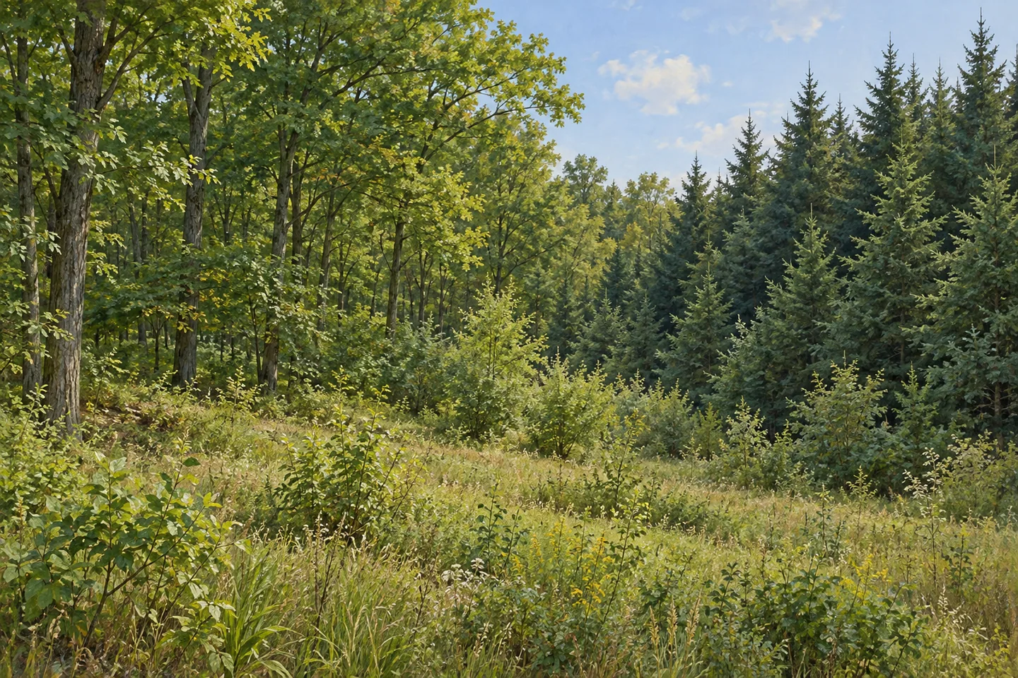
Canadaway Creek Wildlife Management Area occupies a broad upland plateau cut by steep slopes and drainage. Its 2,180 acres in the Town of Arkwright, Chautauqua County, combine deciduous woodland with conifer plantations, while the creek itself passes through the property. These are not simply background features for a recreation stop. The area's central purpose is habitat and wildlife management, with public recreation fitted into that work. Understanding the land as a managed collection of habitats gives a visit a more specific focus.
The property's public history began with federal acquisition in the late 1930s. The U.S. Department of Agriculture obtained the land under the Bankhead-Jones Farm Tenant Act, following federal interest in the area earlier that decade. It remained under federal control until 1961, when ownership passed to New York. Another 165 acres had been acquired by 1964. Those changes distinguish the beginning of public ownership from later state management, rather than compressing everything into a single founding date.
Conifer planting became an important part of the landscape between the early 1940s and mid 1950s. Some of those plantations were subsequently cut or thinned. The sequence matters when looking at a stand of trees: planting established one kind of habitat, but later management continued to change it. The area's forest is therefore not a static result of one early project. Different decisions and periods of work have contributed to the vegetation now described across the property.
Habitat work has extended beyond trees. DEC records mowing of abandoned pastures and fields, planting of shrubs and conifer seedlings for cover, and creation of marshes, small waterholes and ponds. Management and public-access roads were also constructed. These practices reveal a purposeful mix of wooded, open and wet settings. They should not be mistaken for an inventory of visitor facilities: a waterhole created for habitat is not automatically a public waterside destination, and a management road is not necessarily a marked walking loop.
The creek provides another connection through the landscape. Its passage across the dissected upland helps make the property's name more than a label, while also reminding visitors that steep slopes and water belong to the same setting. For observation, consider the changes between deciduous woodland and planted conifers where they can be seen from legitimate access. Habitat can be the subject of an outing even when no particular animal appears.
Ruffed grouse is among the species informing the management objectives, with forestry used to maintain suitable habitat. That goal does not establish a reliable sighting or mean that every part of the property is managed identically. A 2017 habitat management plan sets out the property's more detailed habitat goals. The practical distinction is between the work done for wildlife and the experience a visitor might happen to have on an individual day.
Unpaved parking areas on Center Road and Meadows Road provide documented access references. Build a visit around the actual route and ground rather than expecting a developed nature-center circuit. Canadaway Creek's distinctive story lies in its transitions: federal land becoming state property, plantations undergoing later tending, and several habitat types maintained within a steep upland landscape. Attention to those relationships can make even a modest observation-focused outing more informative than a checklist of hoped-for wildlife encounters.
Fun facts
- Federal acquisition took place by the late 1930s, with the property transferred to New York in 1961.
- An additional 165 acres had been acquired by 1964.
- Conifer plantations were established from the early 1940s through the mid 1950s.
- The 2,180-acre property is a dissected upland plateau through which Canadaway Creek flows.
Before you go
- Use Center Road or Meadows Road as the documented access references.
- Do not treat habitat ponds and management roads as an assumed visitor circuit.
- Focus on differences among woodland, planted conifers and open habitat without depending on wildlife sightings.
Capture
- Compare deciduous woodland and conifer planting from legitimate access.
- Use changing terrain as a subject without entering steep or unverified creek approaches.
- Suggest the habitat mosaic in an illustration without inventing exact ponds, roads or animal encounters.
 Delphi Falls Park
 Carlton Hill Multiple Use Area
 Charleston State Forest
Social
Canadaway Creek Wildlife Management Area protects a 2,180-acre upland landscape in Arkwright. #Cre8Travel
Its public history includes federal acquisition in the 1930s and transfer to New York in 1961.
Another 165 acres had been acquired by 1964. Public ownership and later state management are separate chapters.
Conifer plantations established in the 1940s and 1950s were later cut or thinned as management continued.
Habitat work also includes fields, shrubs and wet areas, not just trees.
A habitat waterhole is not automatically a visitor facility, and a management road is not a guaranteed marked loop.
Ruffed grouse helps inform the management objectives. Habitat work does not promise a sighting on a particular visit.
Look at the relationships between creek, steep ground and different vegetation. The landscape itself can be the focus, with or without an animal encounter.
Hashtags