 Cre8Travel
CRE8TRAVEL · MAINE PLACES
Wilson Pond
Wilson Pond: Choose a Shore, Choose an Outing
Discover
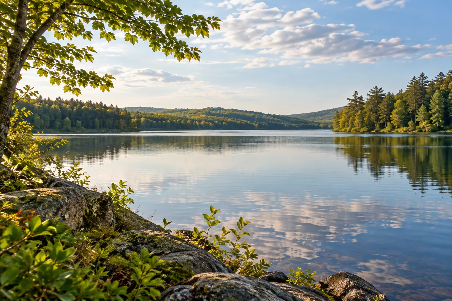
Wilson Pond offers a Monmouth lakeside outing with a town-maintained beach at its northern end. Monmouth's 2026 plan identifies North Monmouth Beach, reached from Town Beach Road, with a small natural parking area and picnic space. Make that named arrival part of the plan rather than assuming access through a campground or private waterfront. A modest shore visit can provide a different experience from setting out across the pond.
The state fisheries survey revised in 2001 describes a long, narrow crescent downstream from Berry and Dexter ponds. Short connecting waterways allow fish to move among them. That shape makes the place more interesting than a simple circle of water on a map: a chosen section may reveal a different relationship between shorelines than the view from the arrival. Plan for the return instead of trying to cover the whole outline.
The 2022 watershed plan follows the same connection beyond the pond. Water leaves through Wilson Stream and continues toward Annabessacook Lake. Its account describes more development on the eastern shore and steep or less accessible land along much of the west. A wooded view is therefore part of a lived-in drainage system, with neighboring waterbodies and patterns of settlement connected to the scene.
The local Fish and Game Association adds a historical community perspective. Its account describes early members working on Wilson Pond's fish populations during the 1940s and introducing brown trout by 1943. A later field day beside the pond helped bring members together around outdoor recreation. Read these episodes as part of the community's past, rather than expecting the activities or arrangements of those years to remain available today.
The fisheries report explains why brown trout management required intervention. Summer conditions limited coldwater habitat, while insufficient spawning and nursery areas made stocking necessary at the time of the survey. Naturally occurring warmwater species played another role in the fishery. These observations help distinguish habitat from management, without promising any particular catch or substituting old guidance for current fishing requirements.
The watershed plan records growing concern about water clarity and phosphorus, with an objective of halting decline and recovering earlier conditions. It describes repeated monitoring and attention to sources on the surrounding land as well as within the lake. A pleasing surface impression is therefore only one way of seeing Wilson Pond. That record provides context without establishing today's swimming conditions.
For boaters, the plan identifies a state-operated public launch along Wilson Pond Road on the southern shore. Keep that approach distinct from the northern beach and choose the arrival that matches the activity. These arrivals do not make adjoining private land an interchangeable place to stop. A route beginning with a clear purpose leaves more attention for the water itself.
For photographs, ask what one image should explain before adding another. A broad scene can establish the relationship between water and shore, while a detail can preserve a particular observation. Work from stable permitted positions without holding up other visitors. Before leaving, compare what you noticed with one piece of background knowledge, keeping the two clearly separated in a caption.
Fun facts
- The local Fish and Game Association records introducing brown trout to the pond by 1943.
Before you go
- Choose the named North Monmouth Beach approach for a shore visit.
- Match a boating plan to the southern public launch.
Capture
- Give an overall setting and one specific detail different roles.
- Keep shared public space clear while making pictures.
 Togus Pond
 Coastal Maine Botanical Gardens
 Torsey Lake
Social
North Monmouth Beach provides an identified town arrival beside the pond.
Wilson forms a long crescent downstream from Berry and Dexter ponds.
Wilson Stream continues toward Annabessacook Lake.
Local sporting history includes community work on the pond’s fishery.
Choose the purpose of an outing before choosing its scale.
A wooded shore can belong to a landscape with many uses.
Let the return remain part of the plan.
Keep today’s observation distinct from a historical account.
Hashtags