 Cre8Travel
CRE8TRAVEL · MAINE PLACES
Torsey Lake
Torsey Pond: A Lake Shaped by Water and Work
Discover
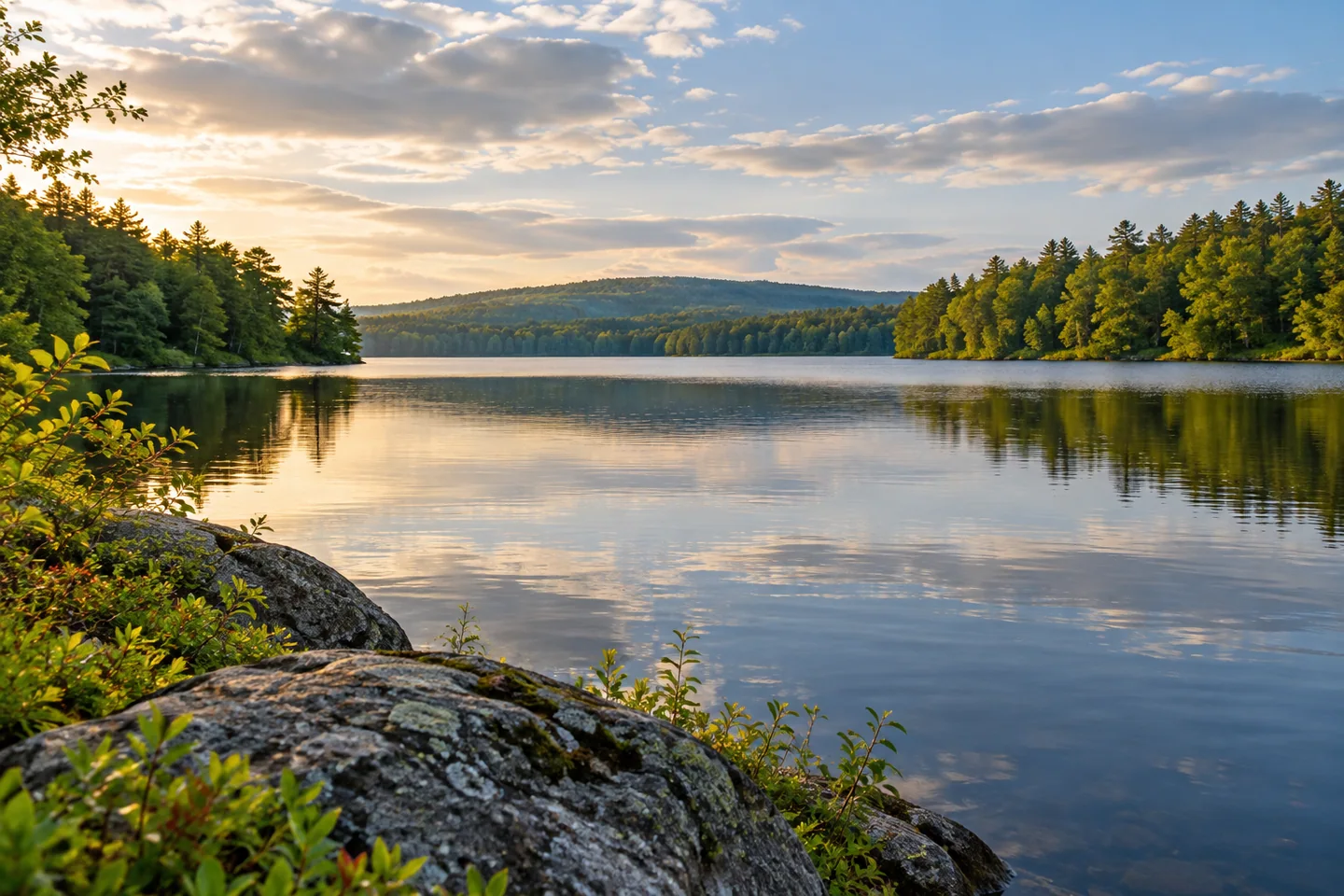
Torsey Lake, commonly called Torsey Pond, offers a water-based view of the Readfield and Mount Vernon landscape. Begin with the public carry-in on Old Kents Hill Road at the southern end. Readfield's comprehensive plan describes very limited parking and no ramp or floats. This is an arrival for a canoe, kayak, or another suitably handled small craft, rather than an assumption that a trailer can be backed down to the water.
The pond's outline has a human history. The association explains that James Craig's dam and sawmill began changing its shape in 1770. Earlier names included Bean Mill Pond and Greeley Pond. In 1892, it took the name of Henry Torsey, a longtime Kents Hill School headmaster and enthusiastic fisherman. The familiar place name therefore connects the water to local education as well as to earlier industrial work.
The association describes broad natural sections joined to shallower areas created by impoundment. In some of those submerged stretches, remnants of former trees remain below the surface. A smooth-looking view does not reveal every obstruction. Its irregular outline, narrowing passages, and contrasting depths make a limited exploration more sensible than treating the whole pond as one uniform expanse. Choose space for a comfortable return instead of chasing complete coverage.
Continuing responsibility for the dam explains why the Torsey Pond Association formed in 1988. Its account describes a privately owned structure that had been abandoned and a community organization created to take on ownership, operation, and maintenance. The landscape enjoyed during a paddle is therefore also supported by voluntary work and membership contributions. Stable-looking water can depend on attention that remains largely outside the visitor's immediate view.
The association's restoration account gives that work a tangible scale. A repair project beginning in August 2020 used large sandbags to isolate the structure before draining the immediate work area. Once exposed, deteriorated concrete required more extensive removal than expected. Steel components were cleaned and coated, reinforcement and new concrete were installed, and later work corrected damage around a gate. The finished scene conceals a complicated sequence of decisions and repairs.
Wildlife observation brings a different kind of attention. The association's June 2026 loon update records nesting pairs with mixed outcomes, including chicks in some territories and unsuccessful attempts in others. It also describes use of nesting platforms installed with Maine Audubon. These are observations from that season, rather than a promise of a sighting or a reason to approach a nest. Give birds room and let distance remain part of the experience.
The town plan places Torsey within a connected watershed, with its deeper northern basin narrowing toward the shallower southern portion and discharge toward Maranacook Lake. That relationship adds meaning to a short outing. Water leaving the scene continues into another familiar recreational landscape. The public carry-in provides a defined place to begin without making private shoreline or neighboring conservation parcels interchangeable landing areas.
For photographs, choose one frame that explains a relationship between water and its surroundings, then another devoted to a small pattern or detail. Take both from stable permitted positions without interrupting the handling of other craft. Compare them with a short note about what you noticed; a restrained record can communicate more than many versions of the same view.
Fun facts
- The pond acquired the Torsey name in 1892 in honor of a Kents Hill School headmaster.
Before you go
- Use the Old Kents Hill Road carry-in and allow for very limited parking.
- Observe birds from a distance rather than approaching nesting areas.
Capture
- Separate a setting photograph from one focused on a small pattern.
- Keep shared arrival space available while composing pictures.
 Pocasset Lake
 Togus Pond
 Wilson Pond
Social
Torsey’s southern public approach is a carry-in without a ramp or floats.
A dam and sawmill began shaping the pond in 1770.
A community association took responsibility for the dam in 1988.
Restoration exposed concrete deterioration that required additional work.
The pond’s outflow continues toward Maranacook Lake.
Give an outing enough room for the return.
Let observation begin before photography.
A view can contain a history that its appearance does not reveal.
Hashtags