 Cre8Travel
CRE8TRAVEL · MAINE PLACES
Togus Pond
Togus Pond: A Public Arrival Designed for More People
Discover
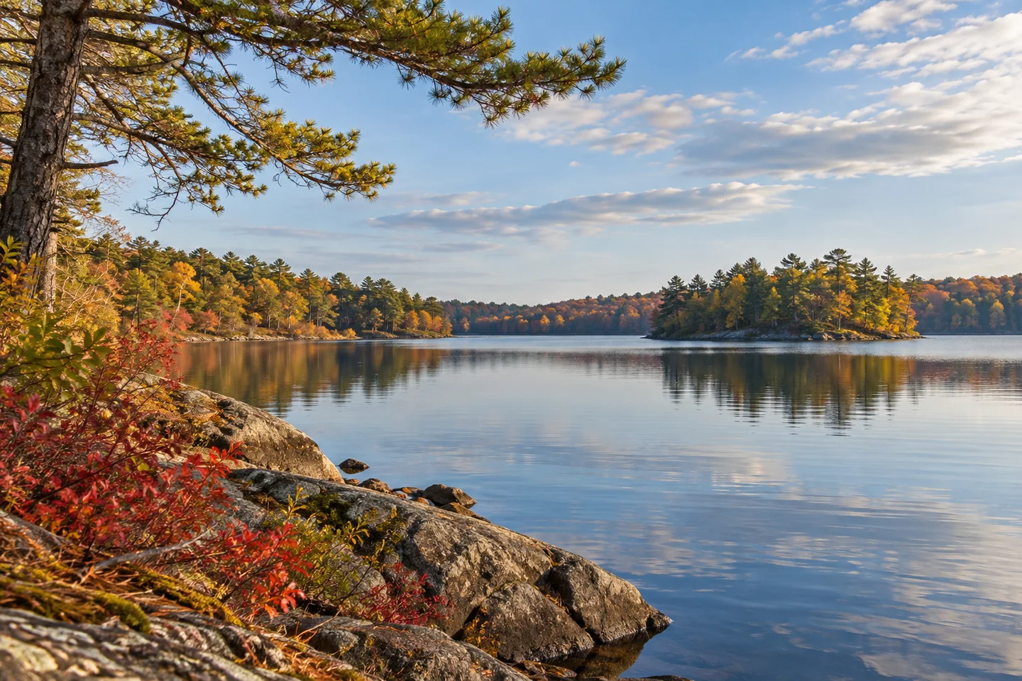
Togus Pond offers an Augusta water outing with an unusually deliberate public arrival. The state's water-access report records the opening of the Togus Pond Family Fishing Area on Route 105 in autumn 2021. Paved paths connect casting platforms and hand-carry approaches for the upper and lower ponds, with a trailer launch on Togus Pond itself. The project was designed to remove barriers for anglers and boaters with mobility challenges.
The waterbody has changed over a much longer period. Kennebec County's conservation district describes a lake formed by glacial processes and enlarged through dam construction. Its surrounding wetlands and stream corridors provide habitat within a developed landscape. In 2020, a fish ladder opened passage for alewives past the dam. The recreational setting is therefore also part of a story about water levels, movement, and reconnecting aquatic life.
Michael Perry's original paddling account finds a vivid late-season scene. He describes exploring the western islands during a sunny November outing, hearing loons and watching other birds around the coves. An overturned tree's pale roots become a photographic subject before a heron unexpectedly lifts from them. Those are memories of a particular visit, rather than an inventory of wildlife another paddler can expect to find.
The lake association's LakeSmart description shows how an attractive shoreline can also perform useful work. Trained volunteers walk properties with participating owners, discussing ways to reduce runoff. Native plants, layers of vegetation, and retained leaves can help water soak into soil before reaching the pond. A less manicured shore may therefore express an intentional investment in the lake rather than simple neglect.
Water quality is a continuing concern. The conservation district records a history of recurring algae blooms and explains that nutrients can persist because the pond's water turns over slowly. Work on internal phosphorus does not remove the need to address runoff from the wider watershed. Its restoration programme follows problems on land as well as within the water. Enjoying the view should remain separate from assuming present swimming conditions are suitable.
Perry's experience also includes an abrupt change in the breeze. While he and his companion try to photograph colorful berries, wind pushes their canoe away along the shore. That interruption belongs alongside the pleasures of the trip. A beautiful late-season account is not a promise of easy conditions, and his three-hour exploration is a personal experience rather than a recommended duration for every visitor.
LakeSmart offers another useful perspective on the relationship between scenery and land use. Its programme emphasizes that small flows from many properties accumulate over time. A shorefront buffer can frame a view while intercepting rain and helping stabilize the land behind it. Visitors can notice the landscape with that wider relationship in mind, keeping their own activity within permitted public routes and leaving neighboring properties separate.
Choose a limited section that fits the day's conditions and allows an unhurried return. For photographs, consider whether one image should explain the overall setting while another records a detail that actually caught your attention. Take them from stable positions without obstructing shared access. A few precise notes can preserve the difference between what happened during your outing and what you learned about the place beforehand.
Fun facts
- The accessible family fishing area opened in autumn 2021.
Before you go
- Use the identified Route 105 facility and match its approach to your craft.
- Leave enough time and energy for a comfortable return.
Visitor perspectives
- Perry enjoys island scenery and colorful late-season details, while an unexpected breeze interrupts photography from the canoe.
Capture
- Notice details without expecting the wildlife encounters of another person’s visit.
- Keep casting and boat-handling spaces clear while taking photographs.
 Torsey Lake
 Wilson Pond
 Pocasset Lake
Social
Paved paths connect different kinds of fishing and boating access.
A fish ladder restored passage for alewives in 2020.
Perry’s late-season paddle finds striking roots, islands, and changing wind.
Shoreline planting can be part of a practical runoff strategy.
A landscape view can raise questions about the land behind it.
Choose a route that fits today’s conditions.
Keep experience and background knowledge distinct in a caption.
Give small observations time to become memorable.
Hashtags