 Cre8Travel
CRE8TRAVEL · MAINE PLACES
Upper and Lower Mattawamkeag Lakes
Mattawamkeag Lakes: Water, Woodland, and a Wider Drainage
Discover
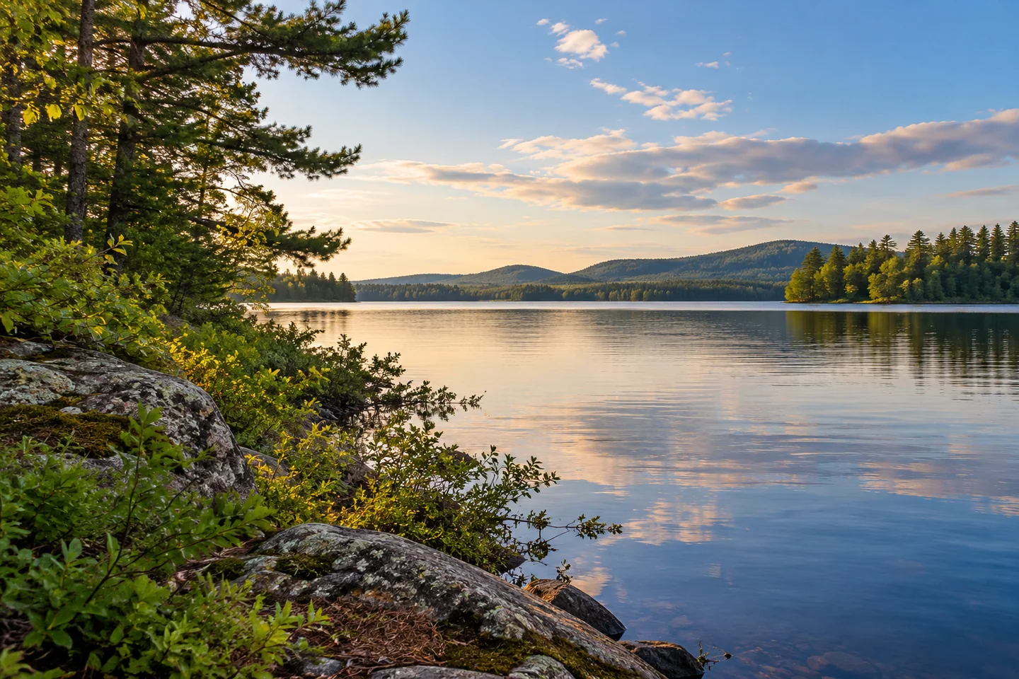
Upper and Lower Mattawamkeag lakes give an Island Falls water outing a setting connected to a much larger drainage. The town's comprehensive plan describes 286 miles of rivers and streams bringing water toward Mattawamkeag Lake from forestland, farms, and roads. A view across one part of the lake therefore contains only the final stage of a long journey. Let that wider connection add interest to a manageable outing, without making the full extent of the water a route you have to complete.
For an entry, the plan identifies public launching at the Fish and Game Club on Mattawamkeag Lake. Check present access conditions before bringing a boat, particularly if water levels or the craft's requirements may affect the approach. The same plan records past concern about shallow water near the landing and proposals for improvement. Those proposals do not establish completed work or an unrestricted modern facility. Choose an outing proportioned to the entry you actually find.
Conservation gives another part of the shoreline a public purpose. The Natural Resources Council of Maine describes protection of 3,026 acres around the southern end through an easement and two purchased parcels. Its account identifies 11.5 miles of lake frontage, along with connected waters. The easement allows sustainable forestry while protecting access and preventing development. A working woodland and a place for recreation can consequently remain parts of the same landscape.
The purchased land includes Long Point and Big Island, where the council identifies old-growth forest. Those names offer context for a lake trip rather than instructions to land anywhere that looks appealing. Use current public-land guidance to select an appropriate stopping place, keeping private shorefront distinct from protected parcels. The conservation story can enrich a view from the water even when a visit remains focused on a shorter section near its starting point.
Island Falls Lakes Association connects this lake with everyday protection work. Its programs support LakeSmart improvements, shoreline vegetation, and observation of water conditions. The association explains how rain can carry soil and nutrients from developed ground toward a lake, while planted buffers help intercept that movement. Thinking about those edges changes the scene: a vegetated bank is part of the water's protection as well as a feature in a photograph.
A published Lake Stewards of Maine field report describes teams working by canoe and kayak on Upper Mattawamkeag and part of the lower lake. Their survey moved sector by sector, with local residents learning plant identification alongside experienced volunteers. The association helped with logistics, lodging, and a community gathering. No invasive aquatic plants were found during that survey, but the report emphasizes prevention; a past result does not establish present conditions throughout both lakes.
The association also asks boaters to give loons and their nesting places space and to inspect equipment for material brought from other waters. Those practical requests fit naturally into arrival and departure. A lake day leaves room for enjoyment while recognizing that wildlife and future visitors depend partly on choices made by each person using the water.
For a record of your visit, connect one shoreline texture with a wider water view. Let a short note explain what held your attention, then leave time for a comfortable return and considerate use of the landing.
Fun facts
- The town plan describes 286 miles of tributary rivers and streams.
Before you go
- Check present launch conditions before bringing a boat.
- Give nesting loons space and inspect equipment when moving between waters.
Capture
- Connect the texture of a vegetated shore with open water from your permitted viewpoint.
 Chemquasabamticook Lake
 Plymouth Pond
 Corundel Lake
Social
Mattawamkeag Lake receives water from a substantial tributary network.
Protected shoreline can combine working forestry and public recreation.
A field survey brought plant-identification learning onto the lakes.
Shoreline vegetation contributes to water protection.
A shorter outing can still reveal a wider connection.
Consider the journey of water before it reaches the lake.
A shoreline texture can anchor an expansive view.
Leave the landing ready for the next arrival.
Hashtags