 Cre8Travel
CRE8TRAVEL · MAINE PLACES
Stevens Pond
Stevens Pond: Following the Shore without Forcing a Passage
Discover
Stevens Pond in Liberty combines a public landing with a particularly intricate outline for a freshwater outing. The town's swimming-program page identifies the public boat landing and describes an established local tradition of teaching children water skills there. That does not establish continuous lifeguard coverage for an independent visit. Check current arrangements and keep boating movements separate from anyone using a swimming area. Treat the landing as shared community space rather than an empty staging ground for your party. Its practical value lies in giving different people a way to use the same water while respecting one another's activities.
A state fisheries report revised in 1992 describes Stevens Pond as a major headwater of the St. George River. It records an area of 336 acres and a maximum depth of 43 feet, measurements that help distinguish the pond from its shallow margins. It places the state-owned launch near the outlet off Route 173 and explains the pond's historical emphasis on warmwater fisheries. The same report discusses experimental brown-trout stocking, conditional on the results anglers achieved. That qualification is worth retaining: a historical experiment is not evidence of a present stocking schedule or a promise of a catch. The document also asks anglers to keep fishing records. Even a trip without a fish can contribute a useful observation when conditions, effort and results are written down carefully.
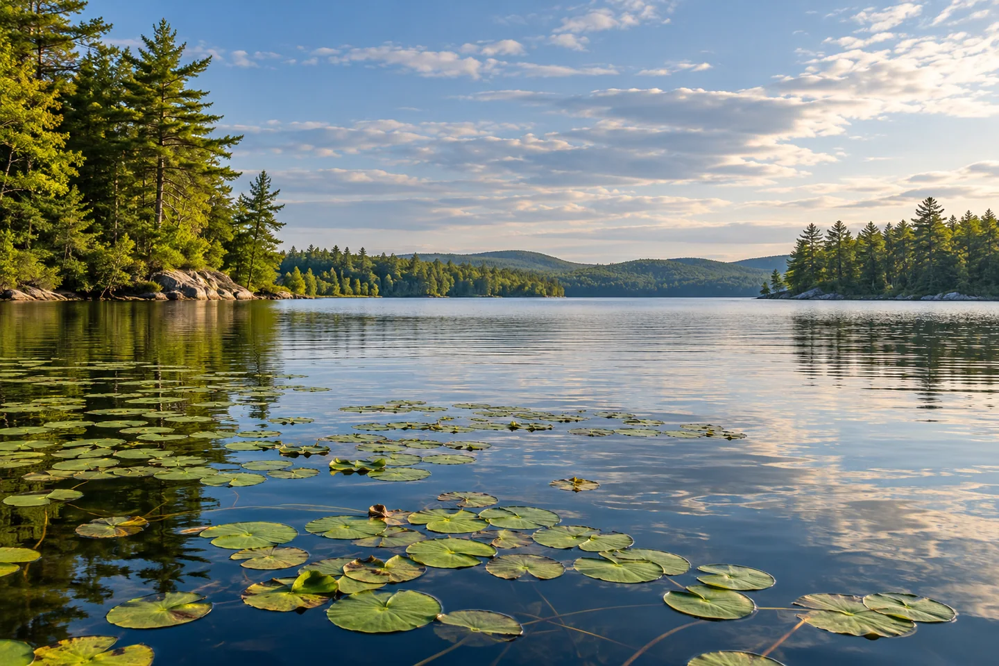
Ron Chase's June 2025 account follows a sunny, lightly breezy trip with his wife, Nancy. Their exploration reached shallow island passages and Howes Cove, where lily pads created an especially memorable scene. At a tiny connecting brook, they saw another canoe team pushing through but chose to return by the longer water route instead. That decision is a useful part of the story. A gap on a map need not become a passage you force with a loaded boat. Their particular circuit was made under favorable conditions; use it to understand the pond's variety rather than as an instruction to copy every turn.
Maine KayakGirl encountered a less cooperative day in an August 2018 post. Wind rose after launching, limiting how much of the pond the writer explored. The account also describes having to backtrack toward the landing to reach another part of the water, despite what the map appeared to suggest. The writer still enjoyed the outing and hoped to return in calmer conditions. Read beside Chase's later experience, this is a concrete reminder of how the same intricate shoreline can feel inviting or awkward depending on the weather. Ending with only part of the pond explored can be a sensible and satisfying result.
For a record of your own trip, draw the simplest possible outline afterward and mark where you changed your mind. Add a few words beside each mark: wind, curiosity, fatigue, uncertainty or a better view. This gives your route a human scale that a continuous tracking line can hide. A return visit can start from one of those decisions rather than from an obligation to complete whatever remained unfinished the first time.
Fun facts
- A historical fisheries report identifies the pond as a major headwater of the St. George River.
- Two paddling accounts describe different responses to the pond’s narrow connections and wind.
Before you go
- Check current landing arrangements and give swimming-area users space.
- Treat a shallow connecting channel as optional; choose a sound return route.
Visitor perspectives
- Ron Chase enjoyed a favorable-weather trip through shallow passages and Howes Cove, choosing a longer return instead of pushing through a tiny brook.
- Maine KayakGirl enjoyed a partial outing but found wind and the pond’s connections limited the exploration, and hoped to return on a calmer day.
Capture
- From a stable boat position, frame the shoreline against open water; later add a route sketch marking where conditions changed your choices.
 Chickawaukie Pond and Johnson Memorial Park
 Lower Patten Pond
 Jones Pond and Recreation Area
Social
Liberty identifies a public boat landing at Stevens Pond.
A shared landing calls for space between boating movements and swimmers.
The pond is a headwater of the St. George River.
A 2025 paddling account found memorable lily pads in Howes Cove.
That paddler chose a longer return instead of pushing through a tiny brook.
A 2018 visitor explored less than planned when the wind increased.
A historical stocking experiment does not describe today’s fishing schedule.
Mark the places where you changed your mind on a route sketch. #Cre8Travel
Hashtags