 Cre8Travel
CRE8TRAVEL · MAINE PLACES
Silver Lake in Bucksport
Silver Lake in Bucksport: Paddling an Industrial Water Story
Discover
Silver Lake in Bucksport is a place for a boating outing with an important limit: the town prohibits recreational swimming, wading and bathing in its waters. Its code identifies public boat-launch and canoe-and-kayak-launch parking on Silver Lake Road. The lower part of the canoe-and-kayak lot is for loading, unloading and accessible parking, so prepare to move your vehicle after handling equipment. Planning the visit around those distinctions helps keep a working public access useful to everyone. A view across the water can be inviting while the permitted ways of using it remain quite specific.
The lake's scale and purpose have a direct connection to Bucksport's industrial past. An operation-and-maintenance manual submitted to the state records construction of the Silver Lake dam by St. Regis Paper Company in 1930 to supply the paper mill and town. It also documents major repairs in 1984, including work on the foundation and concrete spillway surfaces and the construction of a new spillway bridge. The dam regulates the level of a reservoir that continues to matter as a water supply. This history changes how the setting can be read: the waterline is part of an engineered system with responsibilities beyond recreation. Observe it from appropriate public positions and keep away from operating structures rather than treating them as places to explore.
A 1972 state fisheries survey adds detail about what lies below the surface. It describes much of the northern part as shallow, with stumps and small islands omitted from the survey's accompanying map. The deeper water was concentrated toward the southern end, with a recorded maximum depth of 33 feet, where the survey found poor dissolved oxygen. It also identifies crayfish and small sunfish as useful food for smallmouth bass. These are historical observations, not present oxygen readings or a complete navigation chart. Their lasting value is the reminder that neither an open view nor a line on a map reveals every obstruction or the habitat below a boat.
Aislinn Sarnacki's 2019 canoe account captures both enjoyment and the effort that an outing can involve. She and her husband, Derek, saw loons, a cormorant and other signs of wildlife as they explored around islands. Wind initially seemed welcome because it discouraged biting insects, then became a more immediate problem when a gust pushed their canoe toward overhanging branches. Her candid description includes confusion between paddling partners as they recovered their position. It is an individual experience rather than an assessment of today's conditions. It gives a practical reason to agree on simple steering language before the wind makes a conversation harder.
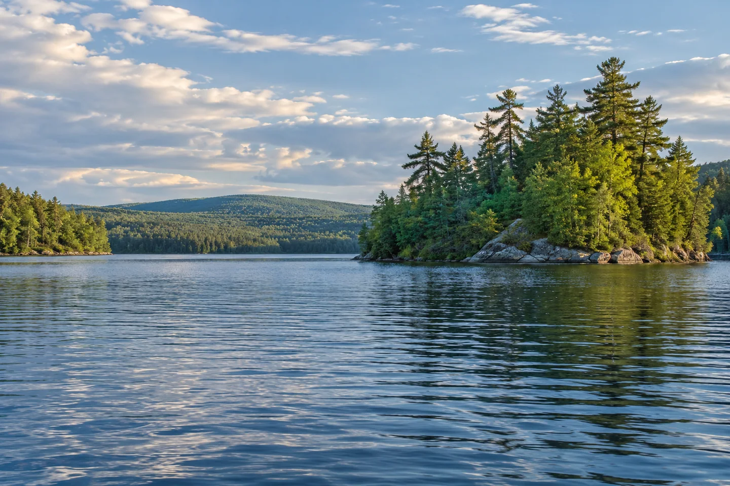
For an image that reflects the lake's character, let an island or shore projection occupy only part of the frame, leaving room to see the surface around it. Make the photograph from a stable position and finish handling the camera before resuming a maneuver. Ask a companion to describe what the same view made them notice. Comparing the two descriptions may reveal an overlooked detail without adding another distant objective to the route.
Fun facts
- The dam was constructed in 1930 to supply the paper mill and the town.
- A historical survey warned that northern stumps and islands were missing from its accompanying map.
Before you go
- Do not swim, wade or bathe recreationally in the lake.
- Use designated parking and keep the lower canoe-launch lot available for its specified uses.
Visitor perspectives
- Aislinn Sarnacki enjoyed wildlife observations on a 2019 canoe trip but described a gust pushing the boat into overhanging branches and confusing communication with her paddling partner.
Capture
- From a stable position, frame an island or shore projection with surrounding water to show its scale and surface conditions.
 Jones Pond and Recreation Area
 Dyer Long Pond
 Trues Pond
Social
Bucksport’s code identifies public launch parking on Silver Lake Road.
Recreational swimming, wading and bathing are prohibited in Silver Lake.
The reservoir’s dam dates to 1930.
Its history connects a paper mill with municipal water supply.
A 1972 survey described shallow northern water with submerged stumps.
Crayfish and small sunfish formed part of the historical bass-food story.
A 2019 canoe account combines wildlife observations with a difficult gust.
Agree on clear steering language before conditions make communication harder. #Cre8Travel
Hashtags