 Cre8Travel
CRE8TRAVEL · MAINE PLACES
Shirley Pond
Shirley Pond: Village Water and a Railway Past
Discover
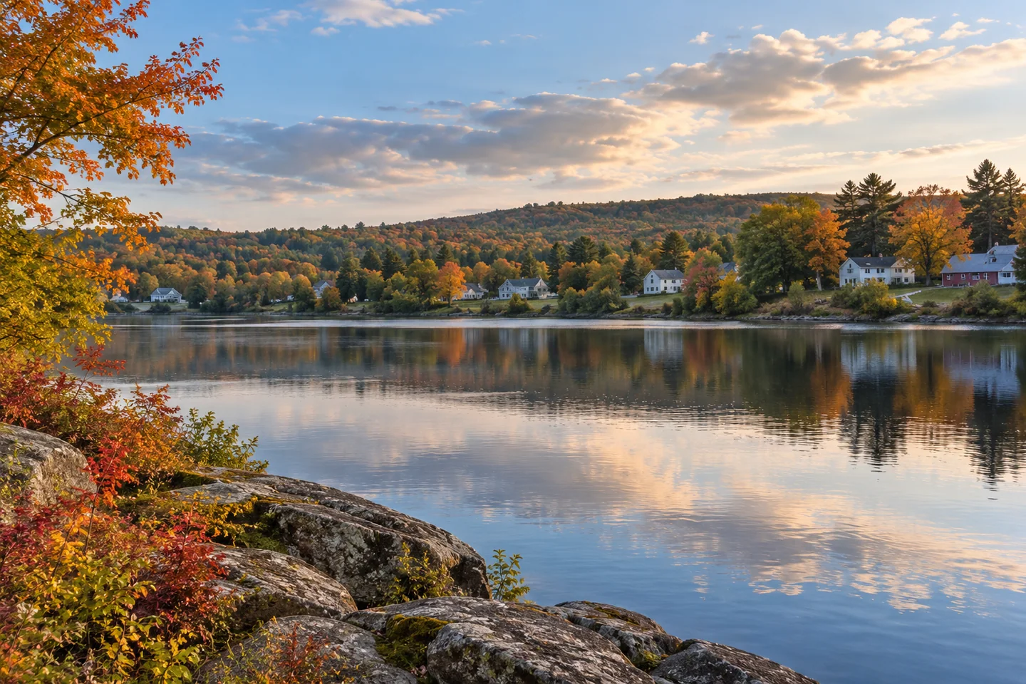
Shirley Pond brings a small water landscape into the village of Shirley Mills. The historical state survey records 60 acres and a maximum depth of 15 feet, a distinctly different scale from the region’s broad lakes. Its account describes shallow water connected with extensive bog areas upstream. A visit here can concentrate on the meeting of village, pond and river, allowing the details of one modest basin to become the main interest.
The fisheries report also describes how the outlet shapes the pond’s ecology. A dam and falls prevented fish migration into the basin, while minnows and suckers competed with brook trout for food. Written in 1957, this is a historical assessment rather than a report of today’s fish populations. It nevertheless makes the outlet worth understanding as a boundary in the water system, with consequences for the habitat above it.
For a paddling perspective, Boston Kayaker’s original July 2012 photo page records the pond, dam and nearby picnic area. The photographer specifically noted not seeing a formal launch. That observation helps set expectations for a small village access, even though present conditions should be checked separately. The page’s proposed inlet route is a planning idea; its photographs document the shore visit and do not establish that the whole proposed paddle was completed.
The same photo account looks downstream from the dam toward the East Branch Piscataquis River. Keep that view distinct from the plan for an outing on the pond. There is no need to add a downstream continuation to make a small-water visit feel complete. The dam, shoreline and contrast between ponded water and river can provide enough to study from the area you have chosen to visit.
Shirley’s Historical Society gives the shore another layer of meaning. Its town history describes a railway station and tracks along the pond’s eastern side, first associated with the Bangor and Piscataquis and later the Bangor and Aroostook Railroad. The tracks were subsequently abandoned and removed. The account places that transport connection within the town’s lumbering economy, when streams carried logs and local businesses grew around working water.
Looking across the pond with that history in mind can change the way the village feels. A shoreline that now invites a pause also belonged to a network of movement, work and changing settlement. The historical account notes that bridges and the dam were rebuilt and the station moved over the years. The scene has developed through successive changes, rather than remaining fixed in one remembered period.
Stan’s personal account offers a winter contrast. On December 31, 2023 he arrived beside the small public park near the outlet, noting a steep descent and space for only a few vehicles. His fishing was slow, interrupted by equipment trouble and conversations with people passing by, before a final trout came as he gathered his belongings. It is a dated account of one winter morning, with neither his ice conditions nor his fishing methods serving as instructions for a future visit.
For your own outing, let the season determine a suitable plan and confirm the access conditions locally. The pond’s appeal can be as simple as spending time with a particular stretch of water and understanding more of what has shaped it.
Fun facts
- Railroad tracks once followed the eastern side of Shirley Pond.
Before you go
- Expect a small access and check the steep descent before unloading.
- Keep a pond outing separate from downstream river travel.
Visitor perspectives
- Stan recalls slow winter fishing, equipment trouble and conversations before a final trout as he packed to leave.
- Boston Kayaker photographed the pond and dam, noting that no formal launch was visible.
Capture
- Look for a composition that includes the pond and its village setting.
 Branns Mill Pond
 Douglas Pond
 Chandler Lake
Social
Shirley Pond has a much smaller scale than the region’s broad lakes.
The historical fishery report describes an outlet barrier.
A railway once ran beside the eastern shore.
Boston Kayaker documented the dam and pond in 2012.
Stan’s 2023 winter account includes conversations and slow fishing.
A modest basin can reward a focused visit.
Keep historical observations attached to their dates.
Let the season guide the outing you choose.
Hashtags