 Cre8Travel
CRE8TRAVEL · MAINE PLACES
Pleasant River Lake
Pleasant River Lake: Tributaries, Fish and a Wooded Horizon
Discover
Pleasant River Lake lies south of the Airline road at Beddington, with public boat access on its northeastern shore. The fisheries account describes shore camps and a gravel approach. Begin from the designated public entry, keeping those private shore properties separate from the lake itself. The same report tells a complicated management story. Inconsistent returns led to the end of a salmon-stocking program in 1991, while Canoe Brook continued to produce some wild salmon. Splake were introduced in 1992, and subsequent netting found juvenile white perch among their food. The account also records an unauthorized introduction of smallmouth bass around 1979–80. These are dated findings, not current catch predictions or fishing rules. They reveal a lake shaped by tributaries, fish communities and human decisions rather than by a single recreational species.
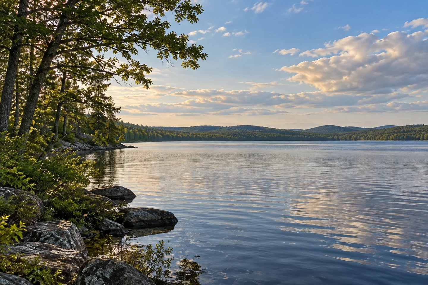
A visual assessment prepared for the Downeast Wind application documents the public launch from another perspective. Its photographs show the northern-shore entry through trees and a southeastward view across open water toward a low wooded horizon. These field images are useful evidence of the launch's setting, without treating the report's projections about a proposed development as an account of what a visitor sees today. The shoreline framing gives a paddler or photographer a practical way to approach the scene: compare the near trees with the broad water and distant land. The view can be appreciated close to the entry, without needing a crossing to the opposite bank.
A 1970s U.S. Geological Survey lake study provides a larger physical frame. Its Pleasant River Lake profile maps several incoming tributaries and the outlet, and records a drainage area of roughly fifteen square miles around the 949-acre lake. The reported mean depth was much lower than the deepest measurement, illustrating the difference between a lake's whole basin and its deepest point. Think of that drainage area as part of the view even when it is hidden behind the shoreline: water arriving from a much larger landscape helps connect the lake to its surrounding land. Its map marks five incoming tributaries, making the connections beyond the main outlet especially clear. The old measurements describe a historical survey, not a present water-quality assessment. They give scale to an outing without making clear-looking water evidence of any particular condition.
The outlet also belongs to a restoration history. A 2023 state announcement records Project SHARE and the Department of Marine Resources working on a new bridge at the Pleasant River Lake outlet as part of efforts supporting sea-run fish habitat. This is a different connection from the report's landlocked-salmon fishery. The lake participates in both local recreation and a river system extending beyond its shores.
Choose an outing that leaves time to return comfortably to the same public entry. From a stable position, compose one photograph with nearby shoreline in the frame and another that gives more space to the distant horizon. Comparing the two can preserve both the immediate place where you started and the larger water landscape you came to explore. That comparison needs no long journey across the lake.
Fun facts
- The historical lake study maps a drainage area much larger than the lake itself.
- The outlet featured in a 2023 fish-habitat restoration announcement.
Before you go
- Use the designated public launch and respect camp properties along the shore.
- Consult current fishing rules rather than using the historical survey as regulations.
Capture
- Compare a frame with nearby shoreline trees against one emphasizing the low distant horizon, from a stable position near your chosen public access.
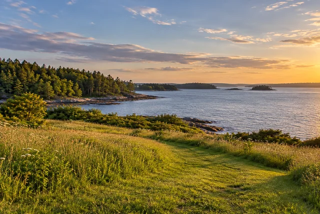 Peleg Thomas Fields and Shoreline
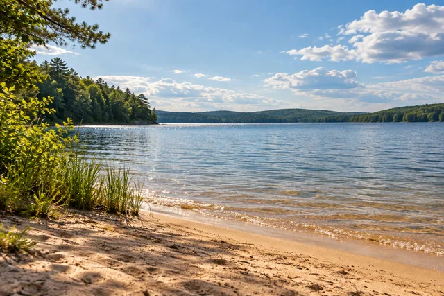 Molasses Pond and Public Beach
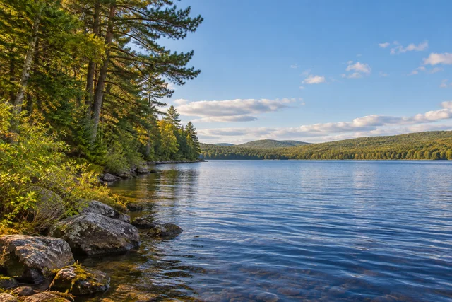 Lambert Lake
Social
Public boat access is identified on the northeastern shore.
Canoe Brook figures in the lake’s historical salmon account.
The lake’s fish-management history includes several deliberate changes.
Field photographs document a wooded launch setting.
A historical survey connects the lake with a larger drainage area.
The outlet belongs to a wider river-restoration story.
A short exploration near the launch can still reveal the lake’s scale.
Use near shoreline and distant horizon for two different compositions. #Cre8Travel
Hashtags