 Cre8Travel
CRE8TRAVEL · MAINE PLACES
Lambert Lake
Lambert Lake: Wooded Shores and Lasting Public Access
Discover
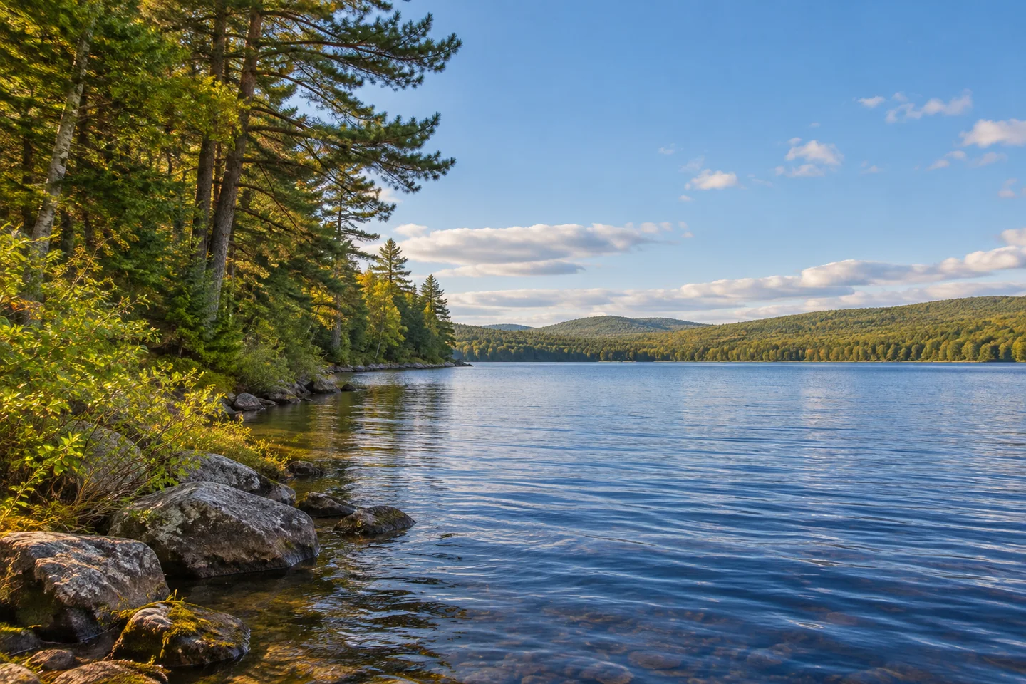
Lambert Lake offers wooded shores near Vanceboro and a conservation story centered on securing a public way to the water. The Natural Resources Council of Maine describes the acquisition of a six-acre shorefront lot by the state fisheries department, supported by Land for Maine's Future and the federal Sport Fish Restoration Program. The purchase protected access that had previously lacked a permanent guarantee. Its account identifies a small launch reached by gravel roads from Route 6. Begin at that designated entry and respect the scattered camp properties. The lake's steep wooded margins give a shoreline exploration a clear visual structure: near trees, sloping land and the reach of water beyond. A modest outing can take those relationships seriously without attempting to cover the entire lake.
The state's older fisheries survey places Lambert Lake in the headwaters of the East Branch of the St. Croix River. Revised in 1969, it identifies Scott Brook, the outlet, as important spawning and nursery habitat for landlocked salmon. It also lists yellow perch, pickerel, bullhead and several smaller fish. The account recommended management measures for its own period, so it should not be read as today's operating plan or fishing regulations. Its lasting interest is the relationship between lake and outlet. The open water a visitor explores is linked with a narrower stream environment that biologists considered essential to producing young fish. That connection gives the edge of the map as much ecological importance as its center.
An original field account by New England Forestry Foundation conservation-easement director Andrew Bentley adds another perspective. Published in March 2026, it describes his October 2025 monitoring trip through the Downeast Lakes region. On the final day, Bentley and Baskahegan forester Kyle Burdick drove to Lambert Lake while checking property boundaries and recent survey work. The account is a professional conservation visit, not a recreational route guide. Its value is the glimpse of continuing work behind a wooded view. Across the larger trip, aerial imagery helped staff choose places for ground inspection, and conversations with land managers accompanied checks on forest conditions. Protecting a landscape involves revisiting it and understanding what has changed, rather than simply recording an easement once and walking away.
The Maine State Archives provides a different kind of survey record: an 1832 plan of the southern half of Township No. 1, identified in its catalog as the township now called Lambert Lake. The plan belongs to the state's historical land-office collection. This is a record of land division, not a modern recreation map or a grant of access. Considering it alongside contemporary conservation work reveals two very different reasons for drawing boundaries around the same named landscape: documenting parcels and checking how conserved land is being cared for.
From a stable boat or permitted shore position, frame the wooded slope against the water rather than searching for a single landmark. Keep the return entry easy to recognize. A photograph made with a strip of near shore can retain the scale of the outing without making private camps its focal point.
Fun facts
- The public-access project involved a six-acre shorefront acquisition.
- The historical fish survey identifies Scott Brook as salmon nursery habitat.
Before you go
- Begin at the designated public launch and respect private camp frontage.
- Use current fishing regulations rather than the older survey’s management recommendations.
Capture
- From a stable position, place a wooded shoreline slope against open water and avoid making private camps the focal subject.
 Molasses Pond and Public Beach
 Duckpuddle Pond
 Kirby Lake (The Muck)
Social
A shorefront acquisition secured public access to Lambert Lake.
Land for Maine’s Future supported the access project.
The lake lies in the St. Croix system’s headwaters.
Scott Brook figures in its historical salmon habitat account.
Conservation staff visited the area for boundary checks in 2025.
Historical land-office records document the township in 1832.
Wooded slopes can give a lake photograph a strong sense of scale.
Keep the return entry recognizable throughout your chosen outing. #Cre8Travel
Hashtags