 Cre8Travel
CRE8TRAVEL · MAINE PLACES
Long Pond on Mount Desert Island
Long Pond: Two Ends, One Acadia Lake
Discover
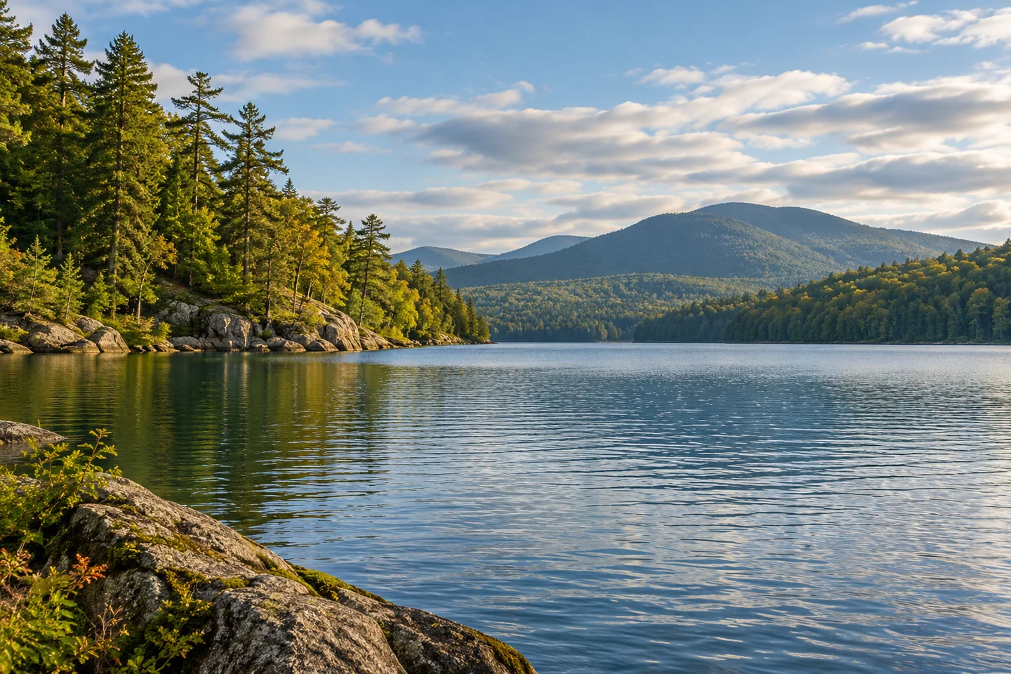
Long Pond gives an Acadia paddling outing an unusually long north-to-south shape. The National Park Service describes it as a four-mile lake, with a public launch at either end. The southern approach follows Long Pond Road from Route 102 to a short gravel path and gently sloping sandy shore. The northern launch lies outside the park boundary. Those are access points to one lake, not permission to land anywhere along its length. Nearly half the shoreline is private or locally owned land outside Acadia. Decide which public entry suits the intended outing, and keep the difference between a water view and a public stopping place clear throughout the trip.
The southern end also has a community purpose that a mountain panorama alone cannot explain. Southwest Harbor's 2010 comprehensive plan identifies Long Pond as the town's public water supply and its only freshwater boating access within town. The plan calls for maintaining boating and fishing access while posting and enforcing restrictions, particularly around the pumping station. It also describes a substantial watershed extending northward into Mount Desert, much of it within Acadia. That historical planning document helps explain why recreation and water protection meet at this shore. Follow current posted restrictions and keep away from operating infrastructure; an appealing launch setting should not be interpreted as an unrestricted swimming beach.
Nena's Naked Kayaker account records a July 15, 2010 outing with companions that explored the lake from the south. The party followed one shore outward and returned along the other, finding a quieter cove on the western side. A fisherman pointed out an eagle perched nearby, and the writer remembered mountains rising beyond the water. This was a particular day's encounter, rather than a wildlife itinerary that can be repeated on demand. The account is useful because it shows how a long lake changes during a paddle: a relatively enclosed shore, a wider mountain view and a side cove each became a different part of the same outing. Their extensive trip need not become another visitor's required distance.
A separate PenobscotPaddles account, published in October 2011, approached from the north. Its writer chose inland water after considering stronger conditions offshore, then found the pond calmer than expected on that particular day. The paddlers passed Northern Neck and continued beside park shore before turning near Duck Rock, where they saw hikers. They did not travel to the southern end. That partial journey is a helpful counterpoint to the earlier full exploration: the lake can be experienced as an out-and-back with a considered turning point. The autumn account also notices mountain outlines and changing foliage. Neither its favorable conditions nor its historical landing arrangements establish today's weather or permission to stop.
Try a photograph that lets a projecting shore overlap the farther mountain slope. A second frame with more open water can explain the elongated space without attempting a panoramic sweep while moving. Make camera adjustments from a stable position, and let the chosen turning point reflect the return journey as well as the outward view.
Fun facts
- The park describes Long Pond as a four-mile lake.
- Southwest Harbor’s 2010 plan identifies the lake as its public water supply.
Before you go
- Use a verified public launch; private shoreline is not a general landing invitation.
- Observe posted water-protection restrictions near the pumping station.
Visitor perspectives
- Nena recalled a western cove, an eagle pointed out by a fisherman and mountain views during a July 2010 paddle with companions.
- The writer paddled south from the northern entry, enjoyed autumn mountain scenery and turned near Duck Rock without reaching the southern end.
Capture
- From a stable position, overlap a nearer projecting shore with a distant mountain slope, then widen the water foreground.
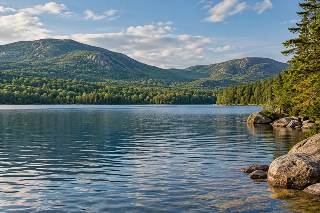 Eagle Lake on Mount Desert Island
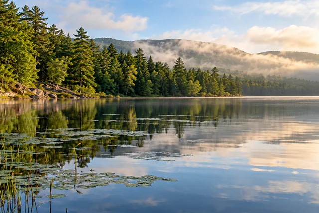 Seal Cove Pond
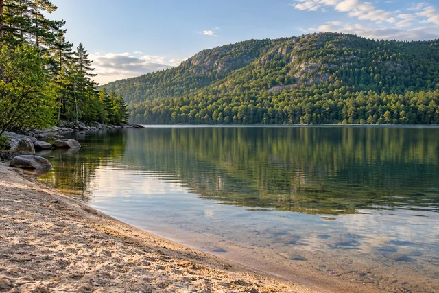 Echo Lake on Mount Desert Island
Social
Long Pond has public launches at both ends.
Nearly half the shore lies outside Acadia on private or local land.
The southern approach follows Long Pond Road.
The lake also supplies Southwest Harbor’s drinking water.
A 2010 account found contrasting shore views during an extended paddle.
A 2011 paddler turned near Duck Rock instead of traversing the whole lake.
A historical eagle sighting is a recollection, not a wildlife guarantee.
A nearer shore and farther mountain can explain depth in one frame. #Cre8Travel
Hashtags