 Cre8Travel
CRE8TRAVEL · MAINE PLACES
Lobster Lake
Lobster Lake: Two Claws and a Reversing Outlet
Discover
Lobster Lake puts an unexpectedly coastal-sounding name into the wooded country east of Moosehead Lake. Its two principal arms, Big Claw and Little Claw, help explain the association. The shape is more than a naming curiosity: it gives a map a useful organizing idea before a visitor encounters the actual bays, points and stretches of open water. This is an inland lake outing, reached through a managed forest landscape, with its own water behavior and a mountain trail that requires careful orientation.
The established paddling approach begins on Lobster Stream near its meeting with the West Branch of the Penobscot. The operator-supplied Maine Trail Finder description directs visitors to the stream put-in and then upstream toward the lake. A stream approach can feel enclosed before the water opens suddenly into a much broader setting. Do not use a historical account of easy current as a prediction for the day. Road access, water conditions and the chosen landing all need to be resolved together.
The connection to the West Branch creates a distinctive feature. Maine's 1958 lake survey explains that high river water can reverse flow in Lobster Stream, making the lake's usual outlet behave as an inlet. When river levels are lower, discharge returns to its normal direction. The lake is therefore connected to the river in a more dynamic way than a simple downstream arrow suggests. That historical explanation is useful context, without supplying a current forecast or an invitation to paddle during high water.
Researchers have also studied what lies beneath the surface. In a 2006 scientific abstract, University of Maine geologists Daniel Belknap and Joseph Kelley described Lobster Lake as forming around a prominent kettle-hole basin. They connected spring inflow from the flooding West Branch with a reverse-flow delta at the outlet. Seen through that research, a quiet-looking water entrance has a sediment story as well as a paddling story. Enjoy the idea from the water or an authorized shore; no collecting or access rights follow from the geological interest.
Carey Kish's October 2026 Bangor Daily News account brings the visit down to human scale. His preferred campsite was occupied, so he continued looking rather than treating a desired destination as guaranteed. The trip also resolved a long-standing search for the Lobster Mountain trailhead after a misleading photograph had contributed to an earlier failed attempt. That personal experience is a strong reason to use a proper current map and reliable directions, not a reason to improvise a bushwhack.
The mountain walk is an optional extension, reached from the lake rather than a compulsory part of every visit. Maine Trail Finder identifies the Little Claw side as the approach for that combined paddle-and-walk outing. Decide whether the group actually wants both activities before loading the boat. A shore-oriented paddle can remain a complete visit, and a plan that depends on finding one particular campsite should have an alternative agreed in advance.
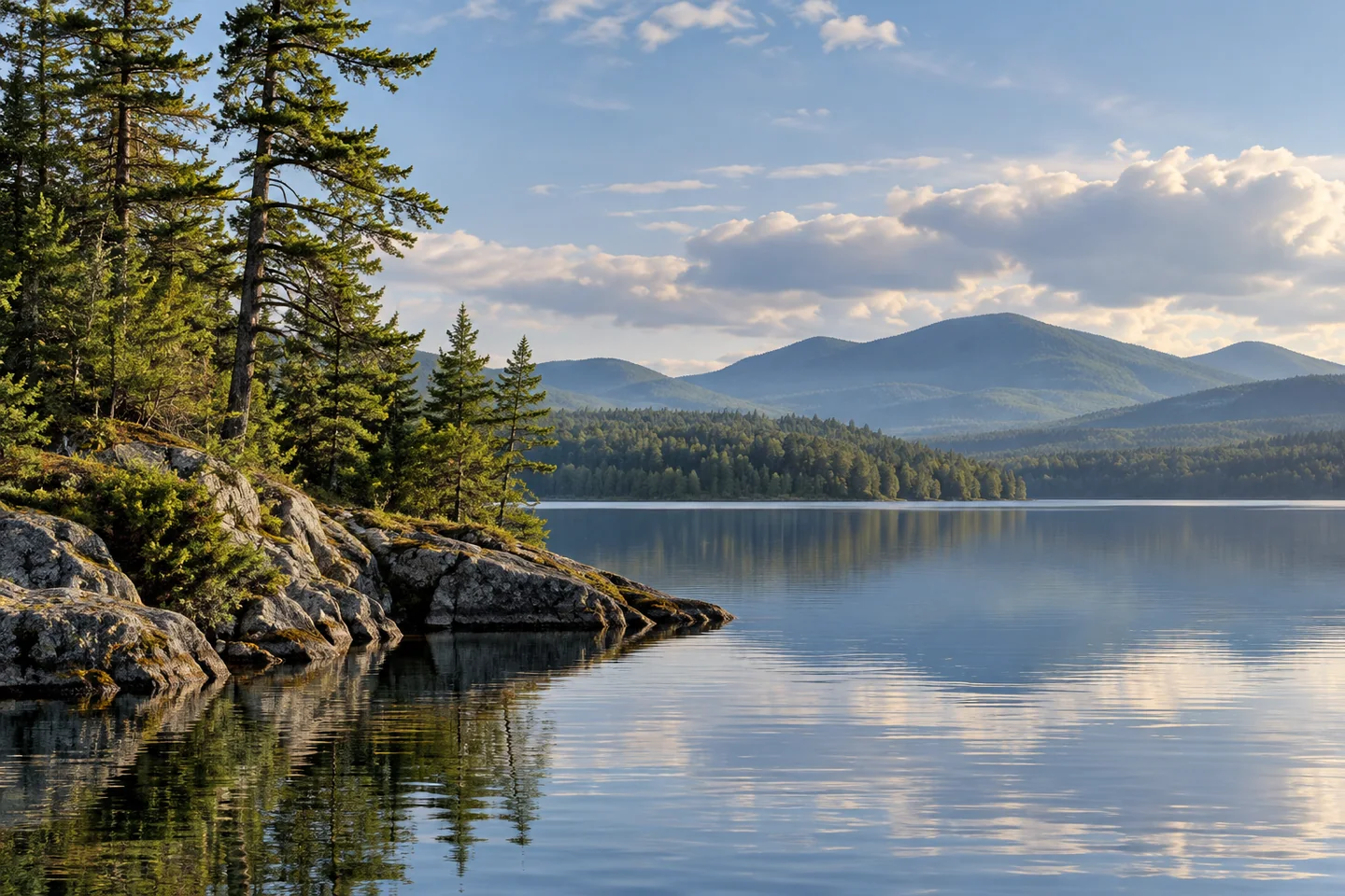
For a photograph, look for the relationship between a wooded point and the mountain outlines beyond, taking the picture from a secure position. Let changing cloud and visibility determine what the frame holds. Lobster Lake is most interesting when its distinctive shape, reversing outlet and forest approach become part of the same experience: a named place with a specific story, rather than simply another patch of blue in the northern woods.
Fun facts
- The lake has arms known as Big Claw and Little Claw.
- High West Branch water can reverse the flow of Lobster Stream.
- University of Maine geologists described a kettle-hole basin here in a 2006 abstract.
Before you go
- Use current forest-road and stream put-in directions from the responsible operator.
- Treat river-linked flow as variable, not guaranteed flatwater.
- Carry a proper map if combining a paddle with the mountain walk.
- Plan an alternative if a desired campsite is occupied.
Visitor perspectives
- In his October 2026 account, Carey Kish found his preferred campsite occupied and finally located a mountain trailhead that had eluded him previously.
Capture
- Use a wooded point to give distant mountain shapes a foreground.
- Take the photograph from a stable stopped position and let actual visibility determine the view.
 Flagstaff Lake
 Jo-Mary Lakes
 Big Machias Lake
Social
Lobster Lake’s Big Claw and Little Claw give an inland Maine map a memorable shape.
The lake’s usual outlet can reverse when the West Branch rises.
A water entrance can tell a sediment story as well as a paddling story.
The stream approach leads into a much broader lake setting.
Resolve forest-road access before treating the paddle as ready to go.
A desired campsite is a possibility, so build an alternative into the plan.
A reliable map matters when water and walking routes meet.
Would you choose a shoreline paddle or a carefully planned paddle-and-walk day?
Hashtags