 Cre8Travel
CRE8TRAVEL · MAINE PLACES
Flagstaff Lake
Flagstaff Lake: Mountains Above a Changed Valley
Discover
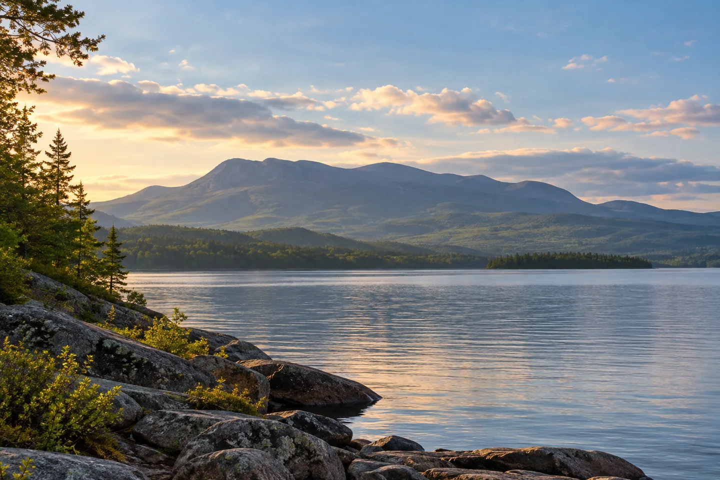
Flagstaff Lake stretches below the Bigelow mountains across a landscape that has been profoundly changed by water. It is a large reservoir, a paddling destination and the setting of displaced communities whose history deserves more than a passing mention. A visit works best when the mountain backdrop and the valley beneath the surface are considered together. Choose a verified public approach and a realistic section of the water, rather than assuming the whole lake belongs in one day's plan.
The flooding story is unusually important here. Maine's regional management history describes the Long Falls Dam project and the evacuation of Flagstaff and Dead River communities. Impoundment began in 1949, with construction completed in 1950. Homes, public buildings and the patterns of daily life were removed or transformed as the valley became water storage for downstream power generation. Those dates explain why accounts sometimes give different single years for the lake's creation. The transition was a process, with lasting consequences for the people who lived here.
The water has a geography of its own. The state's historical fisheries survey describes a broad, relatively shallow reservoir receiving the North and South branches of the Dead River at its western end. Water leaves toward the northeast through the Dead River. That underlying river system is useful context when studying a map: Flagstaff is not simply a blue basin isolated from the surrounding watershed. Historical survey measurements should be treated as background, with present water levels and navigation assessed separately.
There are several ways to begin without undertaking a lake crossing. The state lists a public boat launch in Eustis. Maine Huts and Trails also identifies a hand-carry launch near its Flagstaff trailhead for day visitors. These are independent choices with different approaches and equipment needs. Match the landing to the actual outing, and obtain current access directions from the responsible operator. A lodge stay, a public launch and a campsite are different arrangements, even when all appear near the same water on a map.
Doug Dunlap's original 2024 Daily Bulldog account describes a two-day canoe journey from Stratton toward the lake's eastern end. He and his companions planned alternative campsites and adjusted their course as wind increased. The account makes the scale tangible: an inviting morning view became a landscape requiring decisions about exposure and shelter. It is a personal journey rather than a ready-made itinerary. Its quiet moments, encountered wildlife and available camps belong to that particular trip.
For those interested in orientation, the Northern Forest Canoe Trail publishes a dedicated Flagstaff-region map covering the lake and adjacent river routes. That makes a sensible planning starting point, while an extended through-trip requires more preparation than a short return paddle. Decide in advance what would make the group turn back, and leave room for the return instead of spending all available energy moving farther from the launch.
Photograph the mountain line from a permitted shore or a secure resting position, then look for a smaller foreground that conveys the reservoir's scale. Resist making exposed remnants or low-water features the goal of an improvised landing. Flagstaff rewards attention to what is visible and what has been displaced: a wide-water outing with a serious human history, framed by mountains that long predate the reservoir.
Fun facts
- Impoundment began in 1949 during the Long Falls Dam project.
- The North and South branches of the Dead River enter the reservoir.
- The Northern Forest Canoe Trail publishes a Flagstaff-region planning map.
Before you go
- Choose a verified Eustis public launch or the operator’s identified hand-carry approach.
- Use a current map and assess the return before extending a paddle.
- Keep reservoir history separate from present navigation conditions.
- Confirm the arrangements for any campsite or guided activity individually.
Visitor perspectives
- Doug Dunlap’s 2024 canoe account describes a Flagstaff traverse with alternative camps planned and route decisions adjusted as wind increased.
Capture
- Frame the Bigelow mountain line with a permitted shoreline foreground.
- Make photographs while stopped securely; a distant feature need not become a landing goal.
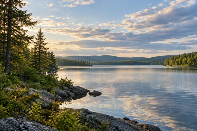 Big Machias Lake
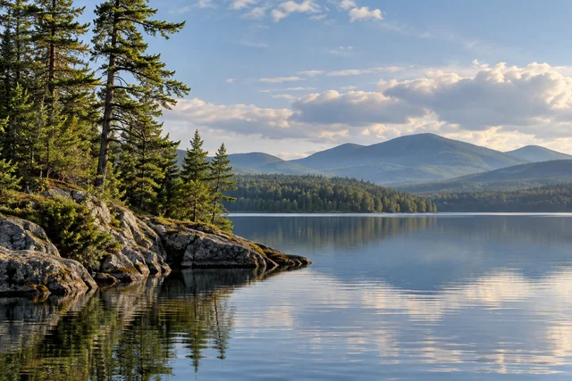 Lobster Lake
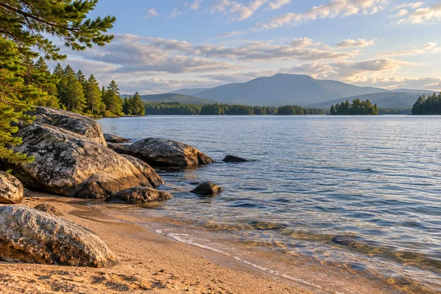 Jo-Mary Lakes
Social
Flagstaff Lake holds both a mountain panorama and the history of a transformed valley.
The reservoir’s creation unfolded in 1949–50, across more than a single dramatic date.
A lake map reveals the Dead River watershed beneath today’s broad water.
A short return paddle and a traverse of Flagstaff are very different plans.
Choose a launch that matches the craft and the outing.
Allow time to understand the communities displaced by the reservoir.
A mountain skyline becomes more meaningful when the valley’s human story is remembered.
What would shape your Flagstaff day: the water, the mountain view or the history?
Hashtags