 Cre8Travel
CRE8TRAVEL · MAINE PLACES
Knickerbocker Lake
Knickerbocker Lake: Paddling with a Watershed in Mind
Discover
Knickerbocker Lake offers a freshwater starting point for a Boothbay outing, and the town's current website identifies a lake access dock. Use that municipal access as the place to begin planning rather than assuming that every visible shore belongs to the public. Confirm the condition of the carry and landing with the town before loading a boat. A dock can appear in a photograph long after the water around it has changed. For this outing, knowing where you can enter and return matters more than collecting a list of possible destinations across the water.
Paula Roberts described the public access in a September 2020 paddling column as a carry-in reached from Barters Island Road. Her account drew a useful distinction between the lake's two sides: much of the western shore felt secluded, while the eastern side had more development. Rocks, ledges and water lilies gave her things to observe along the way. She also identified the water district's intake as a hazard to avoid, rather than a landmark to approach. Treat her route observations as a dated account. Respect current barriers and signs around operating water infrastructure, and do not mistake a quiet-looking corner for permission to land.
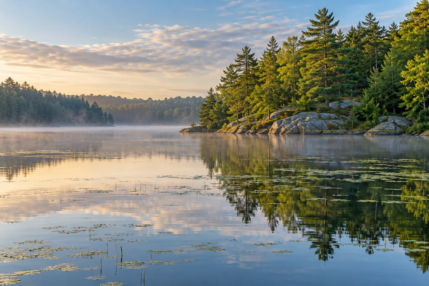
Another visitor, writing as sweetsandsummits in October 2014, remembered mist along the edge, reflections of shoreline trees and only one other kayaker during a morning outing. The writer particularly liked how the branching outline created a sense of seclusion despite nearby cottages. That experience explains one reason people seek this lake: the chance to move through an intimate landscape whose apparent distance changes as the shore folds around them. It is one person's recollection of exceptionally calm conditions, not a guarantee of empty water or effortless paddling. A different wind can produce a different outing on precisely the same lake.
The water has another role that reaches well beyond recreation. A Boothbay Region Water District and Knox-Lincoln Soil and Water Conservation District brochure identifies Knickerbocker Lake and Adams Pond as the region's significant public drinking-water sources. Its explanation of a watershed asks readers to think beyond the waterline: rain and snowmelt carry material from the surrounding land into the lake. Development can add diffuse pollution through runoff, and a vegetated buffer helps trap sediment before it reaches open water. Looking at a strip of shoreline trees, then, can become an exercise in seeing an active filter rather than simply an attractive border. Leave that vegetation undisturbed and keep equipment on the established public approach.
Try making a short visual notebook instead of chasing a complete circuit. Sketch a shore bend, describe the difference between a reflection and the object producing it, and record where your attention shifted from the view to the work of paddling. Those observations can guide a second visit more honestly than a borrowed estimate of how long the whole lake should take. They also give a companion something specific to compare: two people in one boat may notice quite different patterns in the same water, then compare notes back ashore.
Fun facts
- Knickerbocker Lake is both a recreational setting and part of the region’s public drinking-water supply.
- Shoreline vegetation helps filter runoff before it enters the water.
Before you go
- Confirm current dock and carry-in conditions with the town.
- Keep well clear of water-intake infrastructure and obey current barriers.
Visitor perspectives
- The sweetsandsummits writer recalled morning mist, tree reflections and a quiet kayak outing in 2014. The recollection describes that visit, not typical wind or crowd conditions.
Capture
- From a stable position, frame a shoreline bend with its reflection, keeping enough surrounding water to show their relationship.
 Pemaquid Pond
 Chickawaukie Pond and Johnson Memorial Park
 Stevens Pond
Social
Boothbay’s municipal website identifies a Knickerbocker Lake access dock.
Check the current carry-in and landing before moving a boat.
A 2020 paddling column contrasted the lake’s developed and quieter shores.
Water-intake infrastructure calls for distance and respect for posted barriers.
A 2014 visitor remembered mist and reflections during a quiet morning paddle.
The lake also serves the region’s public drinking-water system.
Shoreline vegetation does practical work filtering watershed runoff.
What changes first when you sketch a reflection: the water, the light or your attention? #Cre8Travel
Hashtags