 Cre8Travel
CRE8TRAVEL · MAINE PLACES
Graham Lake
Graham Lake: A Working Reservoir with a Winding Shore
Discover
Graham Lake in Hancock County is a freshwater landscape shaped by work as well as water. Mariaville's account traces its formation to a Union River dam built in the 1920s. The reservoir stored water to support hydroelectric generation farther downstream at Ellsworth. Even the road history reflects that structure: Route 180 once crossed the dam, while Patriot Road preserves part of the former alignment. This background changes the way to read the shore. The lake is not simply a scenic basin left alone by people; its broad surface belongs to an actively managed river system, with a history of engineering decisions that remains relevant to a day outside. Mariaville's account also explains that deterioration of the old dam crossing led to Route 180 being moved after years of road work and temporary bridges. The town does not control the lake's dam. The familiar road and lake therefore have closely connected, but distinct, management histories.
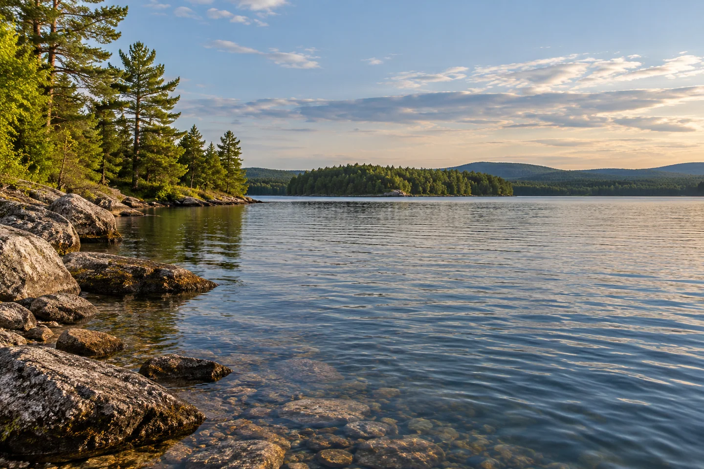
A Maine environmental assessment describes the lake's varied physical setting. A large peninsula divides it into two basins, and its irregular edge contains numerous coves and inlets. Boulder and cobble occur with sand and gravel along the eastern shore and island margins, while finer materials are prominent elsewhere. Clay and fine sand around heath areas can erode and cloud the water under some conditions. Those details help explain a lake whose appearance may differ from the clear, blue stereotype in a holiday photograph. Its sediments and shoreline forms are part of the character. Look for the relationship between an island's exposed edge, its vegetation and the surrounding water instead of treating water color as the entire experience.
Aislinn Sarnacki's 2018 Bangor Daily News account describes an evening canoe outing from Fletchers Landing. A narrow entrance led into open water where breeze and waves complicated steering and photography. Her party then explored beside wetlands and small islands, watching wading birds and kingfishers. They also noticed dry docks and dark bands on boulders that marked a higher waterline. Her enthusiasm for wildlife sits alongside curiosity about water-level changes. That combination makes the account useful: an enjoyable trip can raise questions about the landscape rather than merely supply a collection of attractive images. Her observations describe one evening and do not establish the conditions or usable landings you will find.
Brookfield's Graham Lake Dam guidance warns of releases that can change without notice because of weather and power-system needs. Obey posted warnings and keep clear of restricted dam areas. A forecast does not assure unchanging conditions or authorize approaching the structure.
Ellsworth identifies two boat launches on Graham Lake: a state-owned site on Route 179 and a city-owned site on Route 180. Select the intended starting point before traveling and confirm its present usability, especially when a plan depends on water depth at the ramp. An island-and-wetland outing benefits from a modest route and a clear and adaptable return choice. For photographs, let a textured shore edge occupy a small part of the frame, leaving enough open water to explain its setting.
Compare that frame with one containing only ripples, noticing how a shoreline reference changes the apparent scale.
Fun facts
- Graham Lake formed behind a Union River dam in the 1920s.
- A large peninsula divides the reservoir into two basins.
Before you go
- Confirm which Route 179 or Route 180 launch suits your planned outing.
- Observe operator warnings and keep clear of restricted dam areas.
Visitor perspectives
- Aislinn Sarnacki enjoyed wetland and island wildlife on an evening canoe outing, while wind complicated steering and photography. Exposed docks and boulder waterlines prompted questions about changing lake levels.
Capture
- Where the view permits, contrast a shore texture with open water; keep the framing secondary to controlling the boat.
 First and Second Musquacook Lakes
 Flanders Pond
 Quantabacook Lake
Social
Graham Lake began as a reservoir supporting hydroelectric generation.
The former Route 180 alignment is part of the dam’s local history.
A peninsula creates two basins within the lake.
Different shoreline sediments help shape the water’s appearance.
Sarnacki’s evening canoe account noticed wetland birds and higher-water marks on boulders.
She also found wind made steering and photography difficult to combine.
Confirm your intended launch and respect current operator warnings.
What would you study first: the island plants or the waterline on a boulder? #Cre8Travel
Hashtags