 Cre8Travel
CRE8TRAVEL · MAINE PLACES
Quantabacook Lake
Quantabacook Lake: Camps, Wetlands and a Shared Water Story
Discover
Quantabacook Lake in Searsmont sits near the headwaters of the eastern St. George River system. Its lake association traces a remarkably long community history: an Alberto Club formed in 1859, became The Pines in 1871, and later took the name Quantabacook Fish and Game Association. Incorporation in 1969 supported the construction of a concrete dam. These changing names suggest more than a scenic place to launch a boat. They show generations of people organizing around the same water, with recreation and responsibility becoming part of one continuing story. A visitor arrives briefly into a relationship that others have maintained for much longer.
The living landscape reaches beyond the open surface. The association describes extensive wetlands at both ends of the lake and its collaboration with Audubon to monitor loons. It also explains the annual alewife migration: these fish and their young turn plankton into food that supports the wider St. George and Gulf of Maine system. Thinking about that connection changes an ordinary paddle. A quiet wetland margin is part of a food web with consequences downstream, rather than an unfinished edge to be passed quickly. Watch from open water without pushing into vegetation or approaching birds for a closer picture. The appeal lies in noticing relationships, not securing a particular wildlife encounter.
Water levels introduce another layer. The association's dam account describes an earth-and-rock embankment beside a lower concrete-and-rock section. During wet periods both can disappear beneath water; in dry periods seepage through or beneath the embankment matters to the wetlands below. The same account records concerns about low spring water obstructing adult alewives. Historical studies and proposed designs on the website explain the challenge without proving that a particular remedy has since been built. For a visitor, the useful point is that the lake's appearance and its connections can change substantially. Neither a photograph nor an older trip report fixes the conditions for your day.
Public access deserves particular preparation here. Searsmont's 2025 water-resources planning document identifies the state-owned landing off Route 3, reached along a privately maintained dirt road. It also reports scarce parking, frequent flooding and unreliable access. Confirm conditions before setting out with a boat, and keep an alternative outing available. The existence of a public landing does not make every private dock or camp a fallback. A successful visit can be a short, appropriate trip from a usable entrance; it need not become a complete circuit simply because the whole lake fits comfortably on a map.
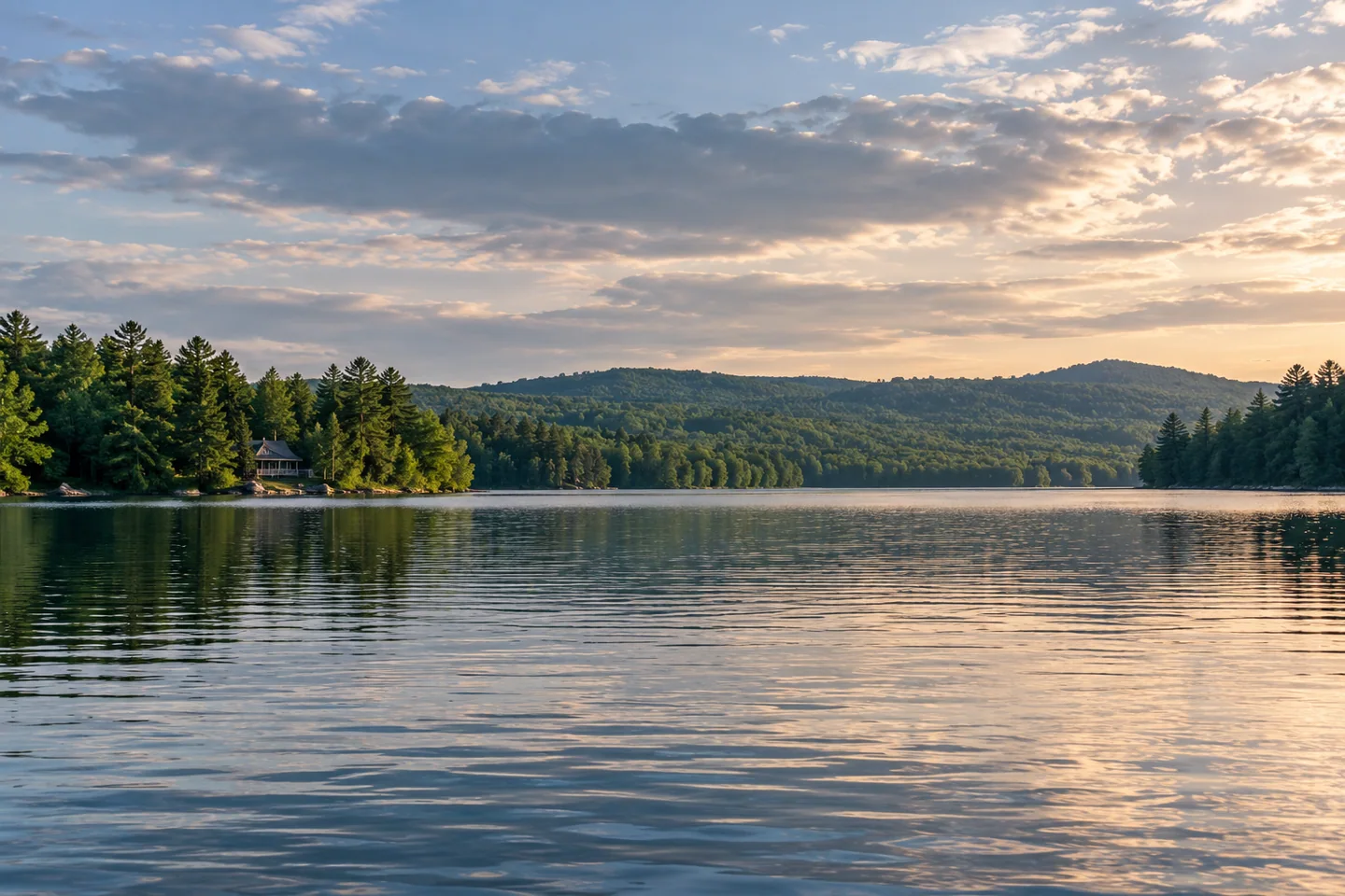
Doug Dunnevant's August 2025 account offers a candid counterpoint to that temptation. A longtime seasonal visitor, he attempted his first complete kayak circuit from a private dock. A helpful breeze at the start became a tiring headwind later, with whitecaps arriving when he was already several miles into the trip. His satisfaction at finishing accompanies an equally clear account of fatigue. Read it as one person's experience, not a prescribed route or a public-access guide. For a photograph, consider the contrast between a modest camp silhouette and the greater expanse of water, keeping private shore activity out of the frame.
Fun facts
- The lake association traces its roots to the Alberto Club of 1859.
- Alewives link the lake’s food web with the wider St. George system.
Before you go
- Confirm Route 3 landing conditions before committing to a boat outing.
- Treat private camps and docks as private property.
Visitor perspectives
- Doug Dunnevant felt proud after his first complete kayak circuit, but described whitecaps and a tiring headwind late in the trip. His outing began at a private dock, rather than the public landing.
Capture
- Use a distant camp silhouette for scale while leaving private shore activity out of the frame.
 Flanders Pond
 Pitcher Pond
 Lake St. George
Social
Quantabacook sits near the headwaters of the eastern St. George River system.
An 1859 club is part of the lake association’s history.
Wetlands at both ends contribute to the lake’s ecological character.
Alewives connect this freshwater lake with a wider food web.
The Route 3 landing has documented parking and flooding limitations.
A complete circuit can be much more demanding when a following breeze becomes a headwind.
Private docks are not substitutes for a public landing.
What would make a short paddle satisfying without completing a circuit? #Cre8Travel
Hashtags