 Cre8Travel
CRE8TRAVEL · MAINE PLACES
Endless Lake
Endless Lake: Reading a Changed Shoreline
Discover
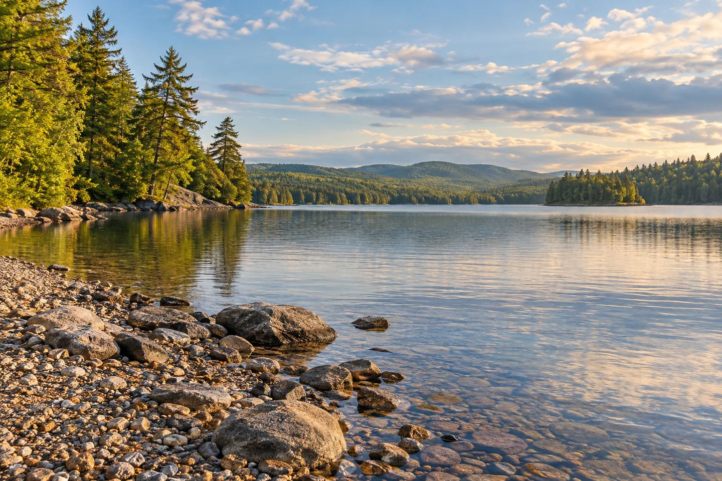
Endless Lake has a name that invites exaggeration, but its real story is more specific and more interesting. In Penobscot County's T3 R9 lake country, it offers wooded shore, gravel margins and a water surface shaped by a former impoundment. It is a separate lake from its larger neighbor, Seboeis, with its own southern approach and an outlet history worth understanding. The best reason to come is not to prove how far the water extends, but to notice how a working landscape became the shore visible today.
The land manager's Seboeis Public Lands guide identifies a primitive hand-carry launch at the southern end of Endless Lake, off Endless Lake Road. It also marks water-access camping on the western shore. These are lake-specific facilities, not the trailerable launch at northern Seboeis Lake. Choose the actual Endless approach before setting out, and consult the Bureau of Parks and Lands about present road conditions. A suitable landing for a carried canoe does not establish that a trailer can use the same place.
A state fisheries survey revised in 2002 describes Endless as an impoundment before 1962. Opened gates and a deteriorating dam returned water toward its earlier level, exposing gravel beaches, rocky islands and backwaters. The meeting of rock and water reflects decisions about holding water as well as the basin itself. Read the changed edge as a clue to the landscape's history.
The historical survey also places a former sawmill on the southwestern shore and records tributary spawning habitat and a splake program beginning in 2000. Historical material should be observed from authorized positions and left in place. An account of an old working shore can prompt curiosity without establishing a maintained visitor site. Check present fishing rules separately before packing a rod.
The Maine Natural Areas Program's 2012 inventory provides a wider ecological explanation. Seboeis Lake drains into Endless within the Penobscot watershed, and the report identifies the southwestern Endless shore as part of the public-land unit. It also notes that limited water-quality observations had been collected here since 1989. That is a record of scientific attention, rather than evidence that the water should be treated as tested drinking water or that a past assessment describes today's conditions.
A first-person OutdoorX4 account of a 2015 Maine traverse describes arriving at an Endless Lake camp after the travelers reconsidered a difficult forest-road route. The lake became their evening stopping place before the journey continued east. The useful impression is of a destination requiring time and flexible approach planning. The wider article includes exceptional off-road driving decisions; neither those maneuvers nor the historical route are instructions for reaching the lake now.
For a shorter visit, keep the shore itself central. Look for the contrast between exposed gravel and wooded margins, with one restrained photograph of the broader water after a closer frame of shoreline texture. Use the verified approach and keep loading space clear. Endless Lake offers an outing with a clear identity: a changed water level, a former industrial shore and a distinct lake within a larger protected landscape.
Fun facts
- The historical survey describes impoundment use before 1962.
- The land manager identifies a southern hand-carry approach for Endless Lake.
- Seboeis Lake drains into Endless within the Penobscot watershed.
Before you go
- Use the Endless Lake approach rather than assuming the northern Seboeis launch serves it directly.
- Confirm present road and hand-carry conditions with the land manager.
- Observe possible mill remains without disturbing or entering unstable structures.
- Check current angling rules separately from the historical fisheries survey.
Visitor perspectives
- An OutdoorX4 first-person account of a 2015 traverse recalls reaching an Endless Lake camp after changing a difficult forest-road plan.
Capture
- Contrast gravel margins with wooded shore from an authorized position.
- Use one close texture study and one broader lake view without approaching unstable historic material.
 Second, Third and Fourth Roach Ponds
 Lake Wassookeag
 Number Nine Lake
Social
Endless Lake has its own shore history beside the better-known Seboeis landscape.
A shoreline can be read as a record of changing decisions about water.
Choose the lake-specific southern hand-carry approach and confirm conditions.
A mapped access point does not make every craft suitable for the landing.
Look closely and leave historical material where it belongs.
The water belongs to a connected Penobscot watershed.
Let a close shoreline texture lead into the wider lake photograph.
What catches your interest: the changed shore or the former working landscape?
Hashtags