 Cre8Travel
CRE8TRAVEL · MAINE PLACES
Brassua Lake
Brassua Lake: Coves, Working Water and Changing Skies
Discover
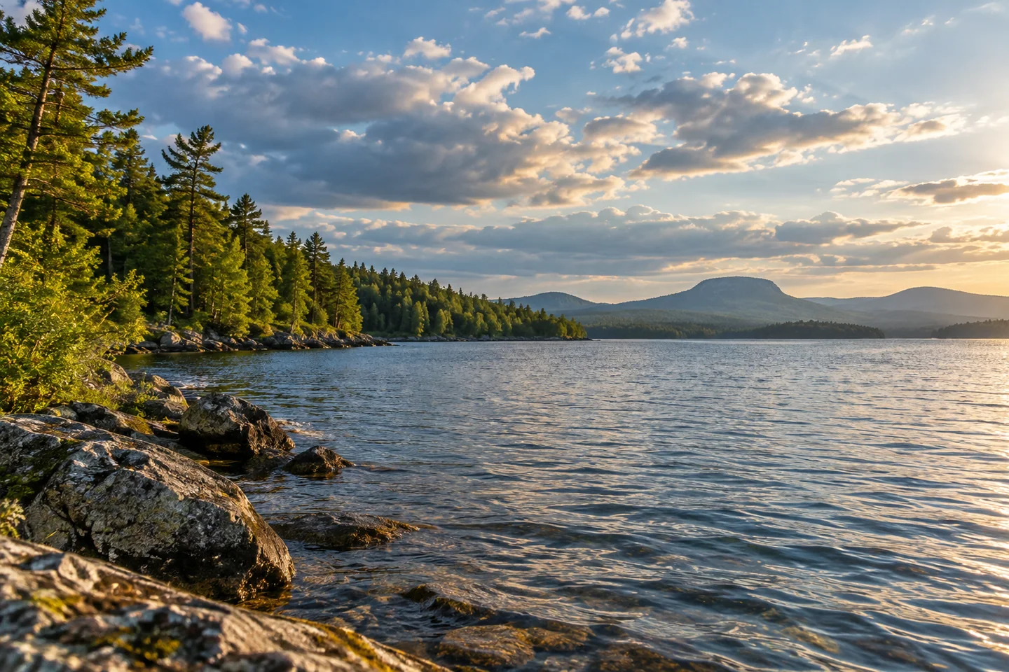
Brassua Lake lies west of Moosehead, but it deserves an outing shaped around its own shores and water conditions. The state’s historical survey records nearly nine thousand acres and describes a lake enlarged and regulated by a dam. Broad areas of shallow water and a history of substantial drawdown make the shoreline part of a changing reservoir landscape. Begin with a clear idea of where you will enter and how far conditions comfortably allow you to travel.
Misery Cove provides the practical public approach. The hydroelectric recreation plan identifies a single-lane concrete boat ramp, a turning area and gravel parking for vehicles with trailers. The launch is reached from Route 15, making it a useful starting point for a lake visit independent of a longer canoe journey. Check the site’s current condition and instructions before launching. This is a place to make the day’s route decision from the actual wind and water in front of you.
Boston Kayaker’s July 2012 outing gives a particularly clear example of a modest visit. He followed the western shoreline north from the ramp, finding successive coves and points, with Mount Kineo appearing in the background. After about forty-five minutes, increasingly choppy water led him to turn around. His account values the pleasure of exploring a small corner of a large lake while also showing a sensible decision to shorten the trip as conditions changed.
Laurie Apgar Chandler’s July 2015 journal offers the perspective of a through-paddler approaching from an island camp. She recalls morning sunshine, headwinds and large piles of driftwood marking the vicinity of the portage. Her photographs give the sky a prominent role in the lake’s scenery. The contrast with a short outing from Misery Cove is useful: the same water can be part of a long expedition or the focus of a carefully limited day. Neither requires repeating the other’s distance.
The lake’s fisheries history also reveals the effects of earlier timber work. The 1958 survey describes Misery Stream being altered to move pulpwood and recommends restoring rocks that create pools and cover for trout and salmon. It also discusses an old driving dam on Brassua Stream as an obstacle to fish movement. These records give the wooded shore an additional dimension: the tributaries have been working waterways as well as habitat, and their physical shape matters to life in the lake.
A later account by fisheries biologist Jeff Bagley, published in 2021, identifies another change in the system: smallmouth bass introduced illegally farther up the Moose River drainage had become established in Brassua. His report places the lake within a connected watershed where events upstream can travel downstream. For a visitor, that connection adds meaning to careful equipment cleaning and attention to the water beyond a single scenic viewpoint. Read historical fishing reports as background, and obtain current regulations before fishing.
A rewarding visit can remain simple: enter at the designated public site, choose a comfortable shoreline outing and leave space to respond to the day. Look for the details that make this lake its own place, from the sequence of points to the changing sky. The most memorable route may be the one that allows time to notice them.
Fun facts
- The historical survey describes timber-driving alterations to Misery Stream.
Before you go
- Check the Misery Cove launch and current site instructions before setting out.
- Shorten your outing if the lake becomes choppy or uncomfortable.
Visitor perspectives
- Boston Kayaker enjoyed coves and successive shoreline points, turning back after about forty-five minutes when the lake became choppy.
- Laurie Apgar Chandler recalls morning sunshine, headwinds and driftwood while finishing Brassua Lake during her 2015 through-paddle.
Capture
- Photograph successive shoreline points from a stable shore position or a safely stopped boat.
 Indian Pond
 Pleasant Pond
 Lower Wilson Pond
Social
Misery Cove provides Brassua Lake’s designated public launch approach.
Boston Kayaker explored only a corner of Brassua during his 2012 visit.
Chandler’s 2015 journal remembers morning light and headwinds on Brassua.
Historic timber operations changed streams feeding Brassua Lake.
A 2021 biologist’s report traces upstream bass introductions into Brassua.
The sky can become as much a subject as the water.
Choose the return journey before chasing the next point.
A smaller outing can leave more room for observation.
Hashtags