 Cre8Travel
CRE8TRAVEL · MAINE PLACES
Baker Lake
Baker Lake: A Threshold to the St. John
Discover
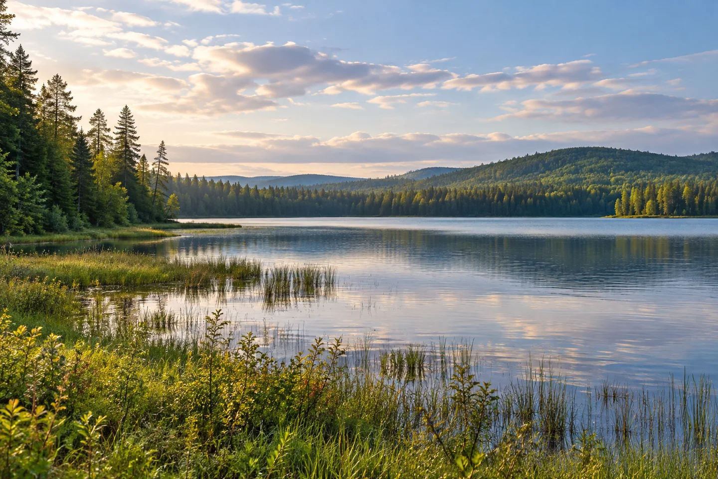
Baker Lake occupies an important threshold in Maine's northern canoe country. In Somerset County's T7 R17 WELS, it sits on the Baker Branch of the St. John system, where a lake visit can also be the beginning of a much larger river journey. Its interest combines open water, wetland margins and a history of movement through the headwaters. Choose a lake-scale outing or a properly organized expedition deliberately; the two require different preparation even when they start near the same shore.
North Maine Woods' own St. John River Canoe Guide identifies Baker Lake as a road-access starting point. It also advises visitors to contact the organization before departure because snow, mud and road conditions can affect the approach. Resolve the actual entrance and stopping place with the operator rather than treating an old map pin as sufficient. A lake visit and a one-way river journey have different transport needs, even when they begin at the same water.
The upper St. John connection gives the view its shape. North Maine Woods' canoe guide describes Baker Lake as a stopping place between the small headwater stream and the river downstream, with camping areas at opposite ends of the lake. Below the outlet, stretches of rips and quieter water alternate. A lake visitor can appreciate that geography without committing to a downstream trip. Anyone extending the outing needs a route, suitable river skills and a confirmed return or shuttle arrangement.
The landscape has a much older story than recreational canoeing. State management research records archaeological evidence of Indigenous use around the lake and discusses its potential connection with travel and exchange across the headwaters. That history is best approached through the documented place, with respect for material that may remain in the ground. A wetland and a narrow water connection can be part of a much larger human geography. Leave artifacts and possible archaeological features undisturbed.
Dan Nelson's original September 1978 Dartmouth Alumni Magazine account adds a historical travel perspective. His canoe party approached Baker Lake through marshy country, camped near its head and heard woodcock in the evening. The following morning they set out across the lake before continuing downriver. The account also describes changing water and the practical mishaps of a long canoe journey. It brings the setting to life, while its camps, equipment choices and conditions remain those of a particular trip decades ago.
Today's organized river operators still identify Baker Lake as an access option for St. John trips. Discuss current water levels and transport directly with an experienced outfitter if that is the purpose of the visit. A commercial itinerary describes one possible arrangement, not a universal trip length or evidence that a route is suitable in every season. Keeping the lake visit and the expedition decision separate makes a useful plan clearer.
For photographs, work with the meeting of forest, wet margin and open water from an authorized position. Avoid trampling soft ground for a wider angle. Keep the day's scale responsive to the group, with time to appreciate the starting shore before moving farther away. Baker Lake is rewarding when its role as a threshold remains visible: a place to spend time beside the water, understand the headwaters and make an informed choice about what comes next.
Fun facts
- Baker Lake is in Somerset County’s T7 R17 WELS.
- North Maine Woods lists Baker Lake among its road-access canoe starting points.
- Baker Lake is an established access option for St. John canoe trips.
Before you go
- Confirm forest-road access and present registration requirements before departure.
- Match the launch condition to the craft rather than assuming a developed ramp.
- Arrange a shuttle separately if choosing a one-way river trip.
- Leave possible archaeological material undisturbed.
- Use authorized campsites and keep soft wetland ground outside the walking route.
Visitor perspectives
- Dan Nelson’s September 1978 historical canoe narrative recalls marshes, evening woodcock and a Baker Lake crossing before continuing downriver.
Capture
- From a permitted position, include the transition from forest through wetland to lake.
- Try an open-water composition with a low wooded margin; leave archaeological features and sensitive ground undisturbed.
 Pleasant Lake, Stetson
 Big Machias Lake
 Flagstaff Lake
Social
Baker Lake sits at an important threshold in the St. John headwaters.
Decide whether you are planning a lake visit or a larger river journey. Preparation follows that choice.
North Maine Woods identifies Baker Lake as a road-access starting point. Confirm the present approach with the organization.
The headwater landscape carries documented Indigenous archaeological history. Leave material in place.
A 1978 canoe narrative records marshes, evening woodcock and a crossing before the journey continued.
For a one-way St. John trip, transport and water-level planning are part of the outing.
Wetland margins make a strong photographic subject from authorized ground.
Would you pause at Baker Lake or begin a carefully organized river expedition?
Hashtags