 Cre8Travel
CRE8TRAVEL · NEW YORK PLACES
Riverside Park South
Riverside Park South: Following a Railway Waterfront
Discover
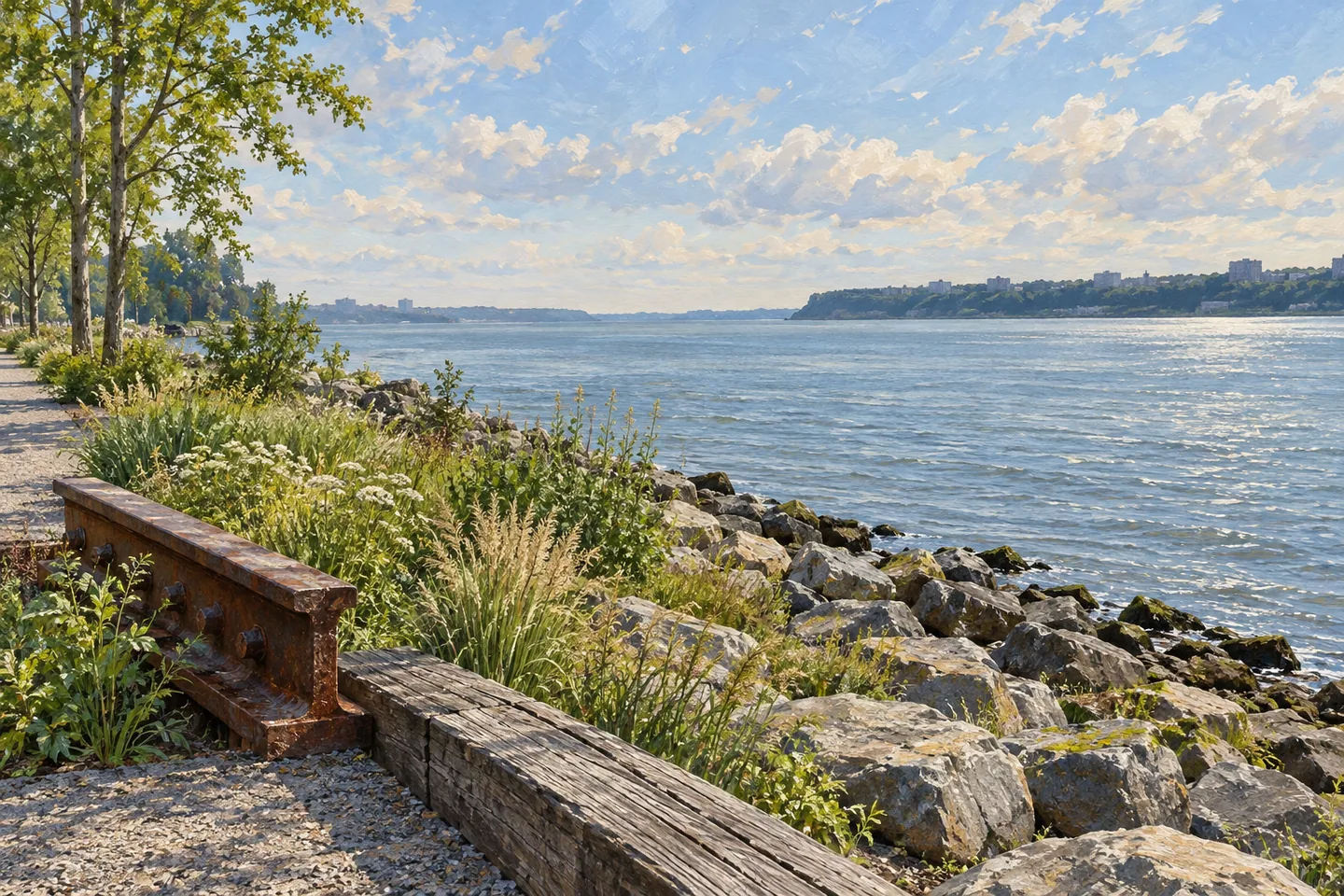
Riverside Park South makes the Hudson River part of an everyday city walk. Between West 59th and West 72nd Streets, paths, planted ground and open spaces occupy land once used by the railway. The river gives the route its broad horizon, while pieces of the former working waterfront supply closer details. A short visit can become a sequence of water views, changes in texture and reminders of how this edge of Manhattan once functioned.
The park grew from plans to redevelop the former Penn Central rail yards. A 1991 agreement included a substantial public waterfront landscape, designed by Thomas Balsley Associates. Construction began in 1998. The first section, between West 68th and West 72nd Streets, opened in April 2001, introducing seven acres of public space to ground associated with freight movement and railway infrastructure.
Pier I is the clearest connection with that earlier use. At West 70th Street, the restored pier retains its historic length of 795 feet, projecting out from the bank at an angle that served freight transfer. Its maximum width is now 55 feet. Walk along it to notice how the relationship between land and water changes: the shoreline pulls back, the surrounding city becomes a panorama and the river occupies more of the scene.
The park continued south in stages. A section opened in 2003 between West 70th and West 65th Streets, with plazas at West 66th and West 68th Streets and a riprap shoreline. Another section followed in 2006, extending the waterfront landscape toward West 62nd Street. These additions made the park a longer route with places to pause along the way, giving a walk more variety than a single straight promenade.
Industrial history remains part of the design. Locomotive No. 25 became a landmark within a later stage of the park, recalling the site's railway purpose. The preserved object, river edge and nearby infrastructure can be read together as layers of one landscape. Looking for those relationships brings a different emphasis to a visit that might otherwise consist entirely of skyline photographs.
Planting and recreation provide the next layer. A later phase added paths, stairs, plazas, a playground, lawns, sand volleyball courts and a dog run. Different surfaces and changes of level divide these uses without removing their connection to the waterfront. Linda's Lawn near West 66th Street is identified by the conservancy as a passive recreation area, giving people seeking a quieter pause a particular place to consider.
The conservancy also supports gardening and public activities here. Its programme has included volunteer work alongside gardeners and seasonal arts and recreation events. Such activities add another way to understand the park: its planted slopes and public spaces are maintained and used by people who return regularly. Consult the current calendar if joining a programme is part of your plans.
For an independent walk, the conservancy's 2026 guide lists entrances at West 59th, West 66th, West 68th and West 72nd Streets. Choose one to suit your intended section, and check current notices where construction changes a route. Pier I makes a strong focus for a shorter visit; a longer walk can follow the changing shoreline and look for the railway traces woven into this public river landscape.
Fun facts
- The first seven-acre section opened in April 2001.
- Pier I retains its historic 795-foot length.
- Thomas Balsley Associates designed the public landscape.
- Locomotive No. 25 recalls the site’s railway use.
Before you go
- Choose an entrance for the section you want to explore.
- Use Pier I as a focus for a shorter waterfront visit.
- Check posted routes where construction affects access.
- Treat Linda’s Lawn as a passive recreation area and follow its rules.
Capture
- From a public path, compare the pier’s strong line with the open river and shoreline.
- Look for a composition that places railway traces within the planted waterfront landscape; keep shared paths clear.
 Randalls Island Park
 Hunter's Point South Park
 Aldrich Pond Wild Forest
Social
Riverside Park South turns former railway land into a Hudson River landscape. #Cre8Travel
The first section opened in 2001 between West 68th and West 72nd Streets.
At West 70th Street, Pier I retains its historic 795-foot length.
Later sections introduced plazas, planted edges and a longer waterfront route.
Locomotive No. 25 connects the landscape with its railway past.
Linda’s Lawn near West 66th Street is designated for passive recreation.
Choose an entrance from the current map and check notices where work affects routes.
Would you photograph the long pier first, or look for the small industrial traces?
Hashtags