 Cre8Travel
CRE8TRAVEL · NEW YORK PLACES
Lincoln Mountain State Forest
Lincoln Mountain: A Forest with Trees That Reached Into the 1400s
Discover
Lincoln Mountain State Forest contains a woodland history measured on more than one timescale. Its 982 acres lie in Greenfield, Saratoga County, where old logging roads provide recreation access through a property without marked hiking trails. The state's land purchases belong to the twentieth century. A much older story appears in research recorded for black gum trees in the northern wetlands, some of which were dated back to the middle of the 1400s.
The April 2002 draft Saratoga and Warren management plan describes that research by Neil Pederson. Using tree-ring samples and cross-dating, he identified ages exceeding 500 years within a stand of black gum. More than 30 trees had been studied at the time of the report. These are dated research findings, rather than a new survey or a count of trees a visitor should expect to locate on a particular walk. Their significance lies in the long history documented within this woodland.
That history gives the forest a different dimension from its present recreation routes. A stand can carry evidence of several centuries while the roads, boundaries and public ownership around it are much more recent. The tree-ring work helps distinguish those layers without needing every tree to be assigned a date by its appearance. It also offers a reason to appreciate the northern wetland setting as habitat, rather than treating the old trees as objects that must be approached individually.
Public ownership developed in two main stages. According to the same 2002 plan, the northern portion was acquired as a reforestation area around 1933, while the southern part was purchased in 1963 for multiple uses. This helps explain how one named forest can join land with different acquisition histories. The dates belong to the public property, while the age study describes particular trees that were already part of the landscape long before those transactions.
The plan also places the ground within three drainage connections. Mud Creek flows toward Kayaderroseras Creek, while Stony Brook and the Snook Kill flow toward the Hudson River. Recorded elevations ranged from 720 to 960 feet. These details provide geographical context for a woodland property whose name might otherwise suggest a single summit objective. They describe the shape and drainage of the land, rather than the distance, ascent or viewpoint on a particular recreation route.
The current access description identifies Cohen Road and several parking references. Old unmarked logging roads are available for recreation, while a truck trail crosses about a mile of state land toward the southern boundary. Choose an outing with the current official map, keeping neighboring driveways clear and matching the route to actual conditions. The absence of a signed hiking network is a practical feature of the visit, just as the older forest research is a feature of its natural history.
Lincoln Mountain's interest comes from placing those elements alongside one another: studied old trees, wetland habitat, separate land purchases and working-forest roads. A modest visit can focus on the legitimate route selected while recognizing that much older stories may remain beyond what is immediately visible. The woodland becomes more distinctive when its different timescales are allowed to coexist, rather than being reduced to a single age or a summit name.
Fun facts
- Lincoln Mountain State Forest covers 982 acres in Greenfield, Saratoga County.
- The 2002 draft management plan records northern land acquired around 1933 and southern land purchased in 1963.
- Research recorded in 2002 dated black gum trees to the mid-1400s.
- The same plan described elevations from 720 to 960 feet and three drainage connections.
Before you go
- Use the current official map to select a route among the unmarked roads.
- Treat the black gum findings as dated research rather than a self-guided route to particular trees.
- Leave private driveways clear when using the Cohen Road access area.
Capture
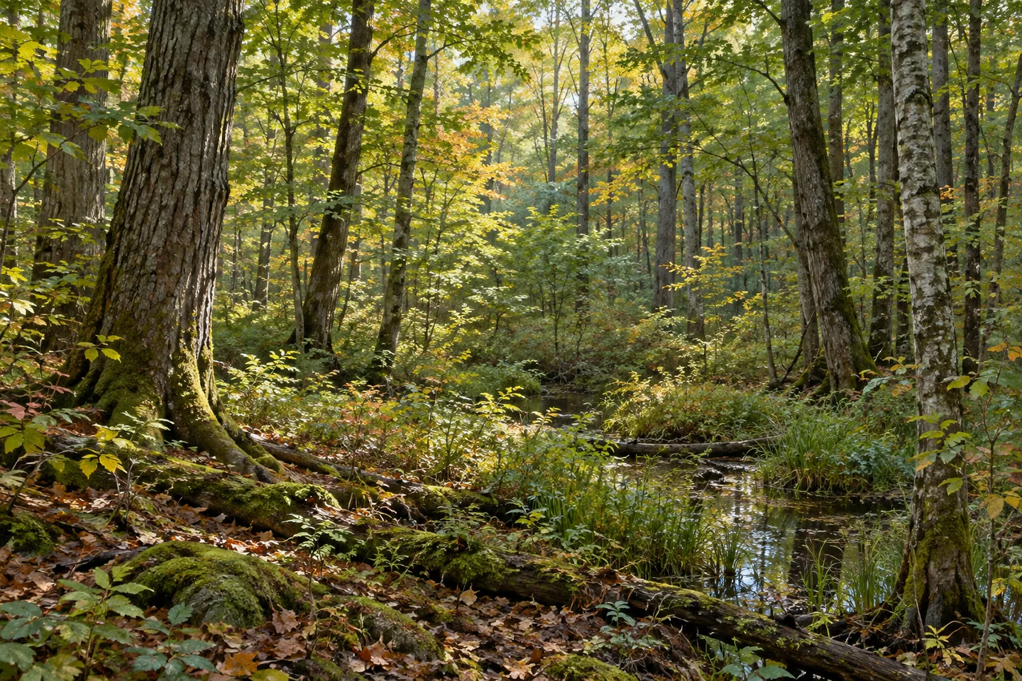
- Photograph visible woodland and wetland edges from legitimate access without seeking an unsupported route to old trees.
- Compare tree forms without estimating age from size alone.
- Use a conceptual woodland illustration rather than claiming an exact 500-year-old specimen or location.
 Pleasant Lake State Forest
 Mendon Ponds Park
 Ontario Beach Park
Social
Lincoln Mountain State Forest holds stories on several timescales. #Cre8Travel
Its 982 acres lie in Greenfield, Saratoga County.
A 2002 draft plan records land acquisitions around 1933 and in 1963.
The same document describes black gum research reaching back to the mid-1400s.
Those findings come from tree-ring work, not a new visitor census of old trees.
Drainage connections toward Kayaderroseras Creek and the Hudson add geographical context.
Recreation uses old unmarked roads; there is no marked hiking network.
Choose a legitimate route and appreciate the woodland’s different layers: older habitat, later public ownership and present forest access.
Hashtags