 Cre8Travel
CRE8TRAVEL · NEW YORK PLACES
Hannacroix Ravine Preserve
A Woodland Ravine with a Creek Crossing
Discover
Hannacroix Ravine Preserve offers a wooded loop near Clarksville in the towns of New Scotland and Berne. Managed by The Nature Conservancy, it protects a ravine along Hannacroix Creek with older hemlocks, varied woodland, and spring wildflowers. The operator lists a 2.2-mile loop with several climbs and a stepping-stone creek crossing. Those details make route planning part of the attraction: this is a forest walk shaped by slope and water, rather than a level path beside a scenic stream.
The creek provides an organizing thread through the woods. Look at how its position changes the space between trees and the shape of the surrounding ground. A ravine view can hold water, slopes, and canopy in one frame, while a closer composition can focus on a feature visible from the path. You do not need to enter the channel or find an unofficial waterfall viewpoint to appreciate the setting. The marked route provides a coherent way to explore the relationship between woodland and moving water.
Hemlocks are a particular feature of the preserve. The operator identifies trees around a century old along the creek, with other woodland species including beech, yellow birch, basswood, red oak, sugar maple, and red pine. Use those descriptions as a starting point for observation, not a reason to label every tree with certainty. Compare evergreen and broadleaf forms, or notice how the canopy frames the creek. A simple, accurate account of what you can see is more useful than an impressive but uncertain identification.
Spring flowers add a seasonal reason to pay attention. The conservancy names columbine, hepatica, Dutchman’s breeches, and bloodroot among the preserve’s interests. Their presence is not a guaranteed display on a particular travel date. Keep plants in place and use photographs or notes to explore an identification later. The woodland has other subjects when flowers are absent, from branching patterns to the changing distance between foreground trunks and the opposite slope. A visit need not depend on completing a botanical checklist.
The creek crossing deserves a specific decision before and during the walk. The operator describes stepping stones and advises caution after heavy rain. If water or footing makes the crossing unsuitable for your group, do not force the loop or invent a way across elsewhere. Check the current map and conditions, and choose a different outing if necessary. A loop is only a useful plan when its whole route can be completed appropriately; its published length does not establish that every section will be passable today.
The route also ends with a short section along Cass Hill Road back toward the trailhead. Keep that road segment in mind rather than expecting an entirely woodland circuit. The conservancy identifies limited trailhead parking and no visitor facilities, so arrive prepared for a self-contained walk. These are practical features of the place, not drawbacks that need to be hidden. They help a traveler decide whether the outing fits the group, weather, available daylight, and other plans for the day.
Before traveling, consult the preserve’s current directions, map, and visitor guidelines. Carry out what you bring and leave plants, animals, and natural materials undisturbed. For a social series, pair a broad ravine scene with a trail-side tree or plant detail, accurately naming only what you can establish. Hannacroix Ravine is rewarding when its terrain is treated as part of the experience: an opportunity to look carefully at older trees and a creek-shaped woodland while making thoughtful choices about the walk that connects them.
Fun facts
- The Nature Conservancy manages Hannacroix Ravine.
- The operator identifies roughly century-old hemlocks along the creek.
- The mapped loop includes a stepping-stone crossing and a short road return.
Before you go
- Check the current map and recent rainfall before choosing the loop.
- Do not force the creek crossing or create an alternate crossing.
- Plan for climbs and the road return segment.
- Arrive prepared; the operator identifies limited parking and no facilities.
Capture
- Photograph the ravine and woodland from the marked route. Keep plants in place and do not enter the creek or seek an unofficial waterfall approach for a frame.
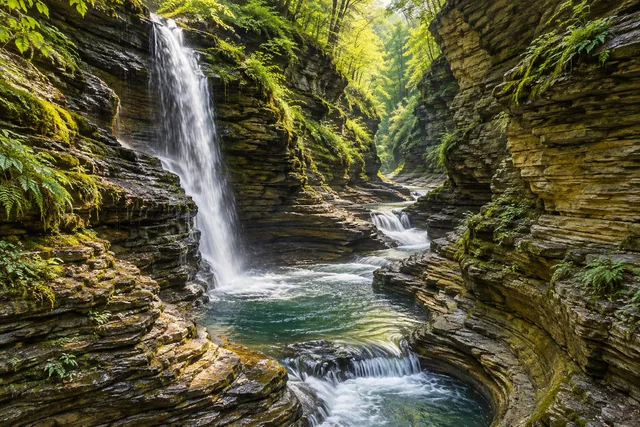 Watkins Glen State Park
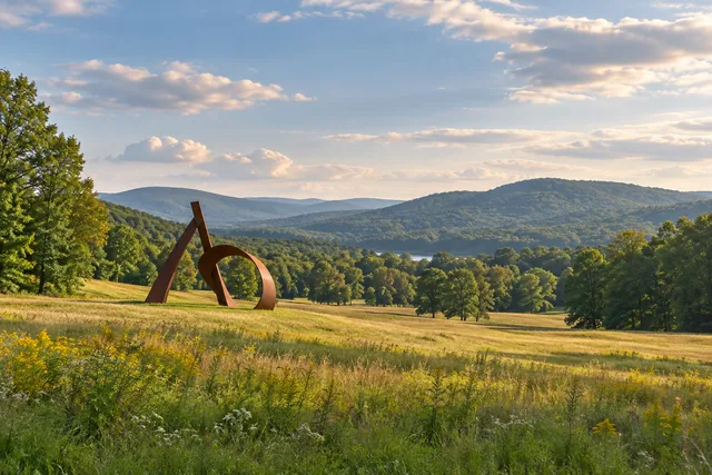 Storm King Art Center
Social
Hannacroix Ravine protects woodland along Hannacroix Creek near Clarksville.
The Nature Conservancy describes older hemlocks and a varied tree community.
Its 2.2-mile loop includes climbs, a stepping-stone crossing, and a short road return.
Check recent rain and current conditions before committing to the full loop.
Spring wildflower lists are possibilities to observe, not a dated bloom guarantee.
If the crossing is unsuitable, do not force it or improvise another route.
Stay on the trail and leave plants and wildlife undisturbed.
Save Hannacroix for a forest walk where water and terrain shape the plan.
Hashtags