 Cre8Travel
CRE8TRAVEL · NEW YORK PLACES
Ferris Lake Wild Forest
Ferris Lake Wild Forest: Many Waters, Several Ways to Begin
Discover
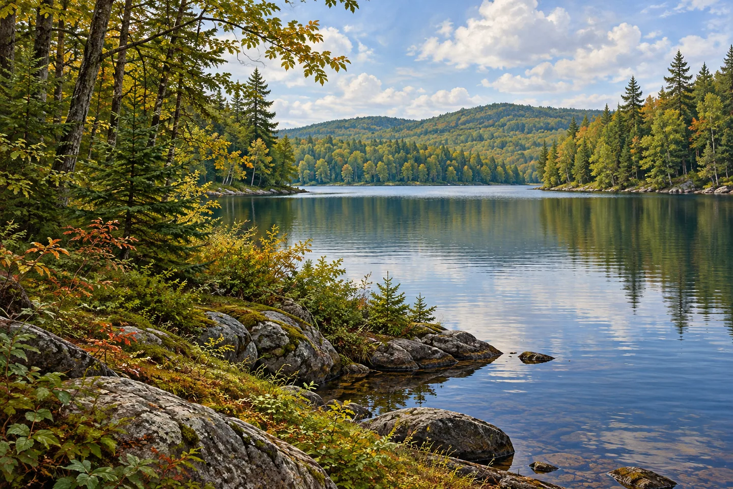
Ferris Lake Wild Forest spreads across 147,454 acres in the southern Adirondacks, with parts in Fulton, Hamilton and Herkimer counties. Lakes, ponds, streams and spruce woodland give it several different characters. Its name can suggest a single lake destination, but the public land is much larger and more varied than that. The most useful starting question is which particular waterbody or woodland route will shape the visit.
G Lake offers one clearly described option. A half-mile trail leads from the G Lake Road parking area to the lake's southeastern shore. That is a specific approach, rather than a half-mile circuit around the water. Its modest stated distance makes it an understandable objective on a large property, while the current map supplies the relationship between the road, starting point and lake. Return travel remains part of planning the outing.
Jockeybush Lake has a different approach: a 1.2-mile trail from Route 10, marked with blue foot-trail discs. DEC describes small waterfalls along that route as well as views. Keep this walk separate from the G Lake outing; they are different destinations within the same wild forest. Choosing one lets the woodland and water along a particular route receive attention without trying to turn a regional map into an afternoon checklist.
The spruce stands add a subject beyond the lakes. DEC identifies old-growth spruce along Powley-Piseco Road, north of Alderbed Stream, around Blind Man's Vly and on the slopes of Big and Little Alderbed mountains. Those are specific documented areas, not a description of every tree in Ferris Lake. Where legitimate access gives a view into woodland, notice its structure without assigning an age to an individual trunk or assuming that every conifer belongs to the old-growth stands.
Route totals need the same care. The overview distinguishes 14.6 miles of hiking trails from 117 miles of snowmobile trails, while broader mixed-use routes also allow walking. These figures describe different kinds of infrastructure rather than competing lengths for one trail system. Some winter connections depend on frozen ground and may be unsuitable in other seasons. A line connecting two places on a winter map does not automatically supply a convenient summer walk.
Camping brings another choice of scale. The wild forest has 97 designated primitive sites, including interior tent locations and numbered roadside sites. Their settings differ. In a July visit described on The Dyrt in August 2025, one camper liked the river setting at Powley Road's Site 4 but mentioned dust from occasional passing vehicles. That is a useful individual perspective on a roadside stay, rather than a verdict on every campsite across this extensive property.
The Oxbow Tract requires a separate understanding. This 732-acre conservation easement on the eastern edge is privately owned, with public recreation limited to the specified Shaker Place waterway access, parking and upstream river portion. It is not unrestricted woodland access simply because it appears beside Ferris Lake on the recreation map. Keep the current official rules attached to the particular place being visited. The reward is a more focused outing: one lake approach, a section of woodland or a carefully selected primitive site within a much wider Adirondack landscape.
Fun facts
- Ferris Lake Wild Forest covers 147,454 acres across parts of three counties.
- The G Lake approach is half a mile from its road-end parking area to the southeastern shore.
- DEC identifies old-growth spruce in several specific parts of the wild forest.
- Its 97 designated primitive campsites include both interior and roadside settings.
Before you go
- Choose a named destination and its current mapped starting point instead of treating the entire wild forest as one outing.
- Distinguish winter routes from connections suitable for the season of the planned walk.
- Read the separate public-use restrictions before considering the Oxbow Tract.
Visitor perspectives
The Dyrt, The L., “Site 4,” published August 4, 2025: this camper appreciated the river setting but reported occasional dust from passing vehicles. The account concerns that roadside campsite, not all of Ferris Lake Wild Forest.
The Dyrt, Meghan B., “Powley Road,” published October 19, 2023: this camper described a quiet stay after finding a site set farther into the woods. It is an individual account of that visit.
Capture
- At an accessible lake margin, use foreground woodland to give a water view depth without leaving legitimate access.
- Compare visible spruce structure without labeling an individual tree as ancient.
- Use soft light to retain texture in both the foreground trees and brighter water, keeping the camera at an established public position.
 Fosdick-Nelson Gallery
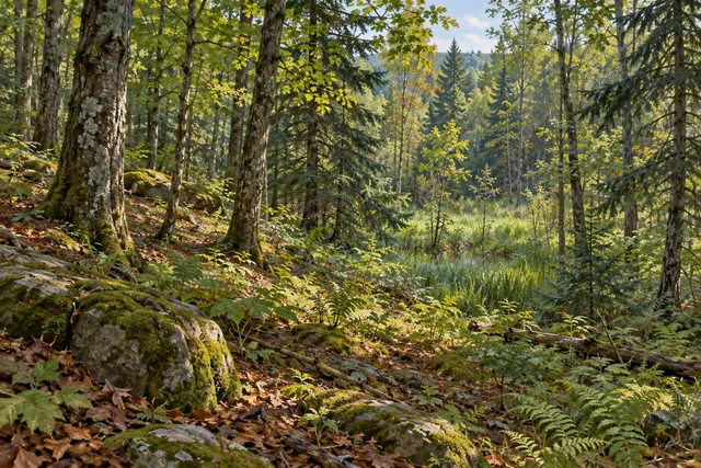 Tracy Creek State Forest
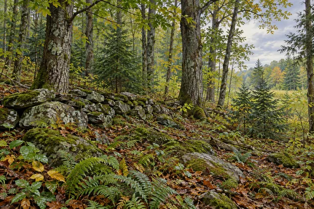 Skinner Hill State Forest
Social
Ferris Lake Wild Forest is a landscape of separate outings across 147,454 acres. #Cre8Travel
A half-mile approach connects G Lake Road parking with G Lake’s southeastern shore.
Jockeybush Lake has a different, 1.2-mile approach from Route 10.
DEC identifies old-growth spruce in specific areas, rather than throughout every stand.
Hiking, mixed-use and winter trail totals describe different infrastructure.
Primitive campsites range from interior settings to numbered roadside locations.
The privately owned Oxbow Tract has its own limited public-access rules.
Choose one destination and the right current map. Which woodland detail would you notice before reaching the water?
Hashtags