 Cre8Travel
CRE8TRAVEL · NEW YORK PLACES
Elm Ridge Wild Forest
Elm Ridge Wild Forest: Woodland Loops at the Catskill Escarpment
Discover
Elm Ridge Wild Forest occupies 1,355 acres near Windham in the northeastern corner of the Catskill Forest Preserve. Its walking and cycling routes draw visitors into a wooded landscape at the northern end of the Catskill Escarpment. More than 25 miles of multiple-use trails give the property a substantial network within a relatively compact unit. The best introduction is a selected loop or approach, with time to notice the forest between junctions and understand how the routes connect.
The property has two main starting areas. One is at Cross Road and Route 23 in East Windham; the other is at the end of Peck Road to the south. Each gives a different relationship to the network. The northern approach serves the Escarpment Trail and nearby loops, while the yellow-marked Elm Ridge Trail runs 1.1 miles from Peck Road to its junction with the Escarpment Trail. Choose the starting point that matches the intended walk before planning the return journey.
The Escarpment Trail supplies the main regional connection. A 1.5-mile portion lies within Elm Ridge, with much more of its course continuing through other Catskill lands. The Long Path follows this corridor within the unit and continues north beyond East Windham. These shared lines connect a local woodland outing with much longer journeys. On a short visit, a trail junction can become an interesting pause: it marks both the next turn and the possibility of travelling onward through a larger landscape.
Red-marked loop trails northeast of the Escarpment Trail add a different pattern. DEC describes these loops as suitable for beginning and intermediate mountain bikers, while the Elm Ridge and Escarpment trails demand greater riding skill because of roots, loose rocks and uneven surfaces. For walkers, the network offers varied combinations and a setting shared with other trail users. Pay attention at junctions, select the planned route, and allow the woodland's changing surfaces to determine the pace.
The present trail system also has a recent conservation history. Elm Ridge was designated in 2008 by reclassifying part of the former Windham High Peak Wild Forest. Management-plan amendments in 2009 and 2015 addressed further multiple-use trail development. Nearly four miles of new red-marked trails were completed in 2010 near the northern end of the Escarpment Trail. Those changes help explain why a relatively small forest unit can offer so many connections and choices today.
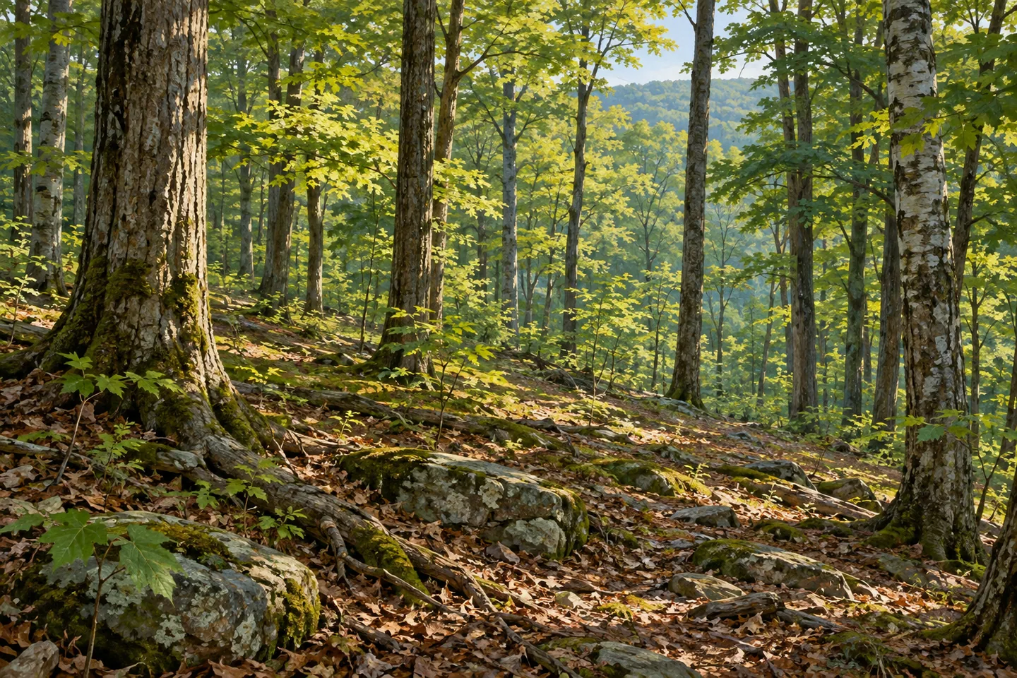
The woodland remains the setting that ties the choices together. A walk can move between closer views of roots, stones and tree trunks and longer looks through the canopy. The Elm Ridge Trail also has a lean-to, adding a backcountry feature to the southern approach. In winter, the trails are open to skiing and snowshoeing, with DEC describing the red loop trails as having comparatively gentle slopes. The actual season and surface conditions still shape which outing makes sense.
Use the current official map and notices to plan the day. Beyond Elm Ridge's eastern side, the Windham-Blackhead Range Wilderness has different activity rules, including a prohibition on bicycles; the wider Escarpment corridor crosses that boundary. Keeping the chosen outing within a clear scope makes the network easier to enjoy. Elm Ridge's appeal is the combination of a forest walk, an interconnected trail landscape and the relatively recent work that created a varied public recreation setting.
Fun facts
- Elm Ridge Wild Forest covers 1,355 acres near Windham.
- It was designated in 2008 from part of the former Windham High Peak Wild Forest.
- The yellow Elm Ridge Trail runs 1.1 miles from Peck Road.
- Nearly four miles of new red-marked trails were completed in 2010.
Before you go
- Choose between the Route 23/Cross Road and Peck Road approaches using the current map.
- Plan a particular loop and pay attention to junctions in the shared trail network.
- Account for the activity-rule change at the neighboring wilderness boundary.
Capture
- Use ordinary woodland layers to give depth to a composition from the selected route.
- Look closely at roots, stones and the tree canopy without leaving the route for a viewpoint.
- Use gentle side light to separate layers of tree trunks while keeping your position on the selected route.
 Split Rock Mountain Wild Forest
 Willowemoc Wild Forest
 White Hill Wild Forest
Social
Elm Ridge Wild Forest covers 1,355 acres at the northern Catskill Escarpment. #Cre8Travel
Two main approaches serve different parts of its trail network.
The yellow Elm Ridge Trail links Peck Road with the Escarpment Trail.
The Long Path shares a corridor through the forest.
Red-marked loops add multiple-use route choices.
The forest was designated in 2008, with new trails completed in 2010.
Choose one mapped outing and observe the neighboring wilderness boundary.
Would you begin with a woodland loop or a connecting trail?
Hashtags