 Cre8Travel
CRE8TRAVEL · MAINE PLACES
Upper Range Pond
Upper and Middle Range Ponds: A Connected Water Outing in Poland
Discover
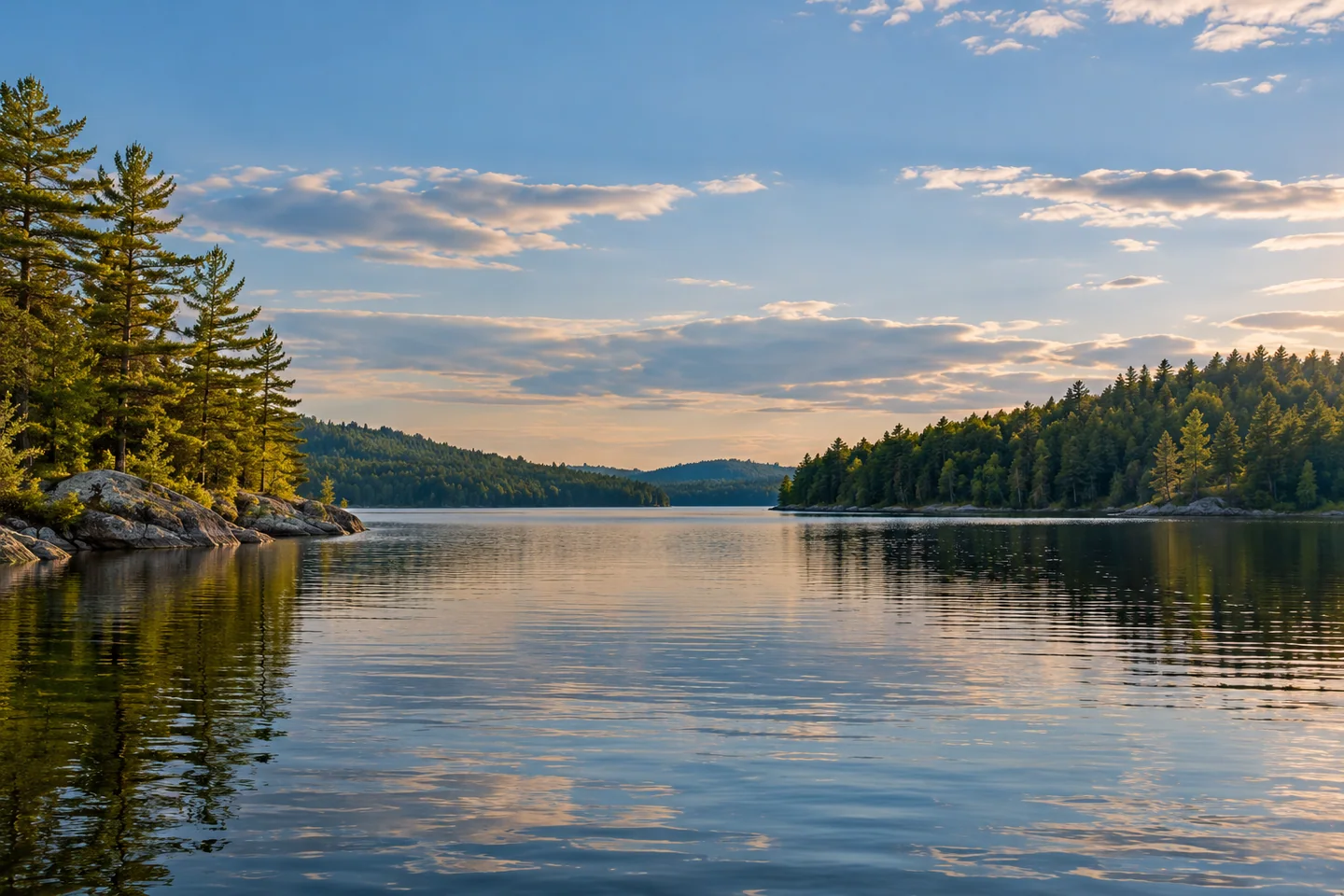
Upper and Middle Range Ponds offer a connected water outing in Poland, with an arrival and focus distinct from the state park on Lower Range Pond. The Range Ponds Association identifies the state ramp at the Upper Pond causeway. Start by matching the Range Hill Road approach rather than following signs for the park beach. Plan a manageable excursion from the correct access, keeping time to understand the lake connection before deciding whether to explore farther. Two named ponds need not become two separate objectives.
The state's historical fisheries description identifies a direct thoroughfare between Upper and Middle Range and a shared public access by the causeway bridge. It also describes Middle Range's rocky shore habitat and the role of stocking where natural spawning and nursery habitat are absent. These are different ways of reading the same place: a practical connection above water and a set of ecological limitations below it. An angler's map can explain something about habitat without serving as a present-day guarantee about water quality or the fish likely to be caught.
Protection here has a history of organized neighbors. The association traces its formation to 1978 and describes an early campaign concerning a proposed large development on Upper Range Pond. That account gives the view a civic dimension. A shoreline is shaped not only by geology and water but also by decisions about what people build, preserve, and manage. You need not see a plaque at the launch for that history to matter; it can change the questions you bring to the lake and the way you notice its developed edges.
The association's summer 2025 newsletter describes a more recent chapter: a watershed survey completed with the Androscoggin Valley Soil and Water Conservation District in 2024, with attention to erosion and nutrient-rich runoff. The work looked beyond the water's immediate edge to the land draining toward it. That is a useful perspective for a visitor. Roads, bare soil, lawns, and access areas may be less striking than a distant shore, yet they help explain why caring for a pond requires repeated work across many properties rather than a single improvement at the water.
Stan's April 2020 account follows a cold morning from the shared launch into Middle Range Pond. He reports a narrow passage beneath Range Hill Road and a shallow connecting stretch, then a fishing outing that rewarded him with a brown trout and a brook trout. He left happy despite not finding the rainbow trout he initially hoped for. It is a personal account of conditions and catches on one day, not a current passage-depth report. Inspect the connection yourself and choose an outing appropriate to your craft, water level, weather, and ability.
For a photographic record, consider a pair of images that reflects the visit's changing scale: a broad view across open water and a closer composition showing the transition toward connecting water. Take the latter only when navigation permits and without obstructing other users. Remain clear of private docks and shores, and bring a return plan that leaves room for changing conditions. Upper and Middle Range reward an attentive outing in which the route, fishery, and community history each add something to the view.
Fun facts
- Upper and Middle Range Ponds share a causeway-side public boat access.
- The Range Ponds Association traces its beginnings to 1978.
- A 2024 watershed survey addressed land-based sources of runoff toward the ponds.
Before you go
- Match the Range Hill Road access to Upper and Middle Range, separately from the Lower Range state-park beach.
- Inspect the connecting passage and current water level before deciding to travel between ponds.
- Keep clear of private docks and leave enough time for a comfortable return.
Visitor perspectives
- Stan’s April 2020 Middle Range Pond account describes a cold launch through the connecting passage, followed by catching a brown trout and a brook trout. He left pleased despite not catching the rainbow trout he had hoped for.
Capture
- Compare a broad lake composition with a closer view of the transition toward connecting water.
- Photograph a passage only from a stable position that leaves other craft unobstructed.
 Balch Pond
 Worthley Pond
 Cushman Pond
Social
Upper and Middle Range Ponds offer a connected water outing in Poland.
The causeway-side access serves both ponds.
The local association traces its beginnings to 1978.
Conservation here includes looking at land that drains toward the water.
A 2024 watershed survey added another chapter to that work.
Stan’s April 2020 outing found a brown trout and a brook trout after a cold departure.
Treat a historical outing as a story, then let current conditions shape your own route.
Would you photograph the broad pond view or the changing scale of connecting water?
Hashtags