 Cre8Travel
CRE8TRAVEL · MAINE PLACES
Balch Pond
Balch Pond: Following the Shape of Connected Water
Discover
Balch Pond, often called Balch Lake, extends across Acton and Newfield in Maine and Wakefield in New Hampshire. Stump Pond is connected with it, so the two names belong to the same broader outing rather than separate destinations to collect. The York County activity guide identifies a public carry-in near the outlet, off Acton Ridge Road near Shady Nook Road. Match that small-craft approach carefully before traveling; it should not be mistaken for a trailer ramp or permission to use a private waterfront property.
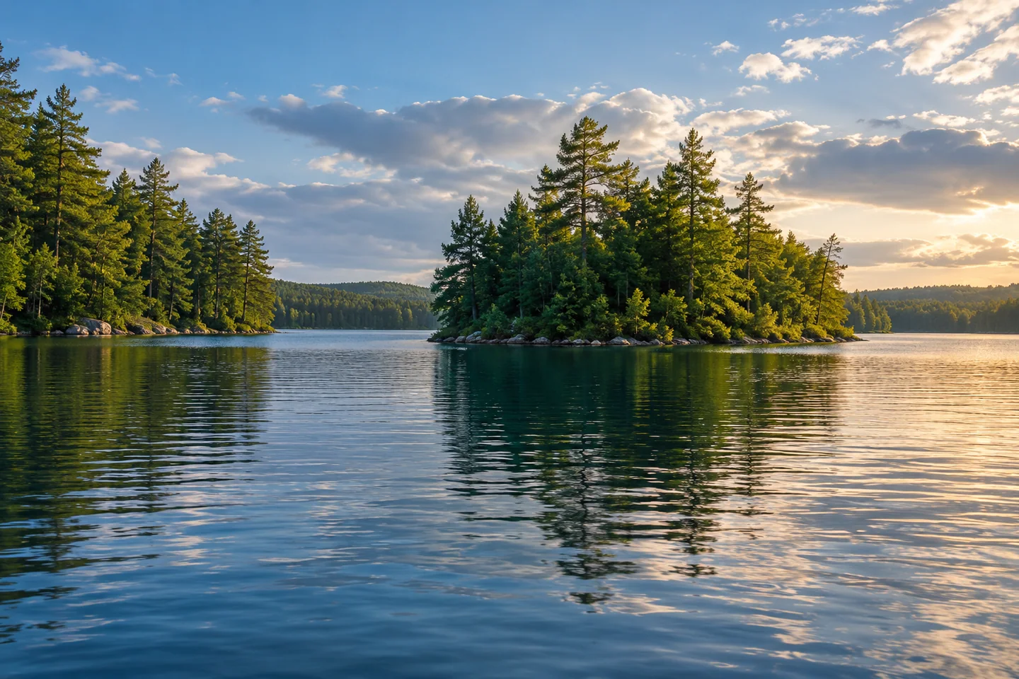
The same guide highlights winding waterways and small islands. Those features suggest an outing planned around changing perspectives rather than the shortest line across open water. A narrow view may widen as you move, while an island can temporarily hide the route back. Keep a map and a comfortable return plan, and resist treating every gap as an invitation to continue. The attraction is the way the lake unfolds at a human pace, not the number of corners you can fit into one day.
Water leaving Balch Pond begins another journey. In a January 2013 field account, Acton Wakefield Watersheds Alliance describes the outlet dam on Acton Ridge Road between Newfield and Acton, with water continuing as the Little Ossipee River toward Lake Arrowhead and the Saco River. This is useful watershed context, not a recommendation to paddle downstream. A river connection on a map does not establish an uncomplicated route through outlet structures or beyond the lake. Keep your visit within the water and access you have actually prepared to use.
The historical state fisheries description adds an underwater distinction. Revised in 1996, it explains how limited summer cold, oxygenated habitat constrained trout management while warm-water fisheries remained an important feature. That makes a more useful introduction than promising a particular catch. Different depths can offer different living conditions, and management choices reflect those differences over time. If fishing is part of the visit, consult current boundary-water rules and present conditions rather than treating the old survey as a current stocking report.
Care of the pond has a visible community history. BLIMP, the local improvement organization, traces its origins to the discovery of variable milfoil near Stump Pond in 1999. Its treatment account describes diver harvesting beginning in 2001 and the later use of diver-assisted suction equipment. This is sustained work, not a declaration that the problem is finished. Clean your craft and gear, cooperate with current protection measures, and keep clear of active conservation work. A pleasing view can be the setting for demanding maintenance that is easy to overlook.
Dianne L. Taylor's 2017 Maine Observer essay remembers arriving at a family-rented cottage as a teenager and discovering Balch Pond below a wooded approach. Her family's attachment grew into owning shoreline and building a cottage, with memories carried into later life. It is a private family experience rather than a public access guide, but it explains why this landscape can matter beyond a single outing. For your own record, photograph a turning waterway or an island's relation to the surrounding shore from a lawful position. Let a modest section of Balch Pond become a complete experience in its own right.
Fun facts
- Balch Pond spans Acton and Newfield, Maine, and Wakefield, New Hampshire.
- Balch and Stump Ponds are interconnected waters.
- Water leaving Balch Pond enters the Little Ossipee River.
Before you go
- Use the identified carry-in approach near Acton Ridge and Shady Nook roads; confirm the actual entry before unloading.
- Keep lake exploration separate from downstream river travel and stay clear of dam structures.
- Clean boat equipment and follow current invasive-plant protection measures.
Visitor perspectives
- Dianne L. Taylor’s June 2017 Maine Observer essay recalls discovering Balch Pond during a childhood family cottage stay. The family later bought shoreline and built a cottage, creating an attachment she carried into adulthood.
Capture
- Show the relationship between an island and the surrounding water from a stable craft or lawful shore.
- Photograph a changing waterway perspective without landing on private shores or approaching conservation crews.
 Milton Three Ponds
 Upper Range Pond
 Worthley Pond
Social
Balch and Stump Ponds form one connected water landscape.
Acton, Newfield, and Wakefield share its shores.
Winding water and small islands invite attention to the return route as well as the view.
A carry-in access point is different from a trailer launch.
The outlet leads into the Little Ossipee River watershed.
Local milfoil work has a history of diver harvesting and sustained effort.
Dianne L. Taylor’s 2017 essay remembers a family discovering Balch Pond and putting down roots.
Would you frame an island, a turning waterway, or the broader shore?
Hashtags