 Cre8Travel
CRE8TRAVEL · MAINE PLACES
Swan Lake
Swan Lake: Open Water and the Work Behind It
Discover
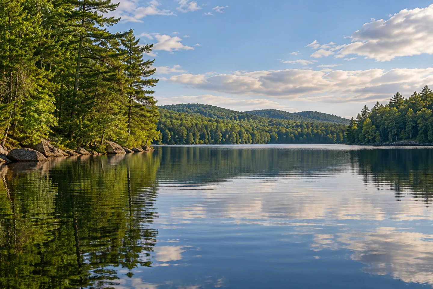
Swan Lake in Waldo County offers a boating day with a useful distinction between its entrances. A federal environmental assessment identifies a town-owned concrete boat ramp in Swanville, separate from both the informal dam area and the state park at the opposite end of the lake. Choose the actual boat ramp for launch planning and confirm current conditions with the town. A lake outing should begin with a clear return point, not with an assumption that every shore opening serves the same purpose. The same assessment places the lake within a former hydropower landscape connected downstream through the Goose River. Its broad water and its managed outlet belong to one setting.
A state fisheries presentation based on data through 2015 makes that water particularly interesting. It contrasts lake trout, or togue, with landlocked salmon. The togue population had become self-sustaining after a period of stocking, while salmon depended much more heavily on stocking and fed largely on rainbow smelt. Biologists compared volunteer fishing records, trap-net sampling and winter surveys, finding reasons to reconsider how many fish were added. The lesson is not that visitors should expect easy fishing. A lake can contain several desirable species whose food needs compete. Understanding that balance gives an angler a richer reason to care about the place than a photograph of a large catch alone.
The land around Swan Lake has its own practical story. A Maine environmental project summary describes a 1998 watershed survey that identified 140 sites affecting water quality, mostly through erosion associated with roads, driveways and residential lots. A subsequent demonstration project addressed five sites, using measures ranging from planted buffers to riprap, and provided advice to landowners. These are historical results, not a statement of present pollution levels. They reveal how small pieces of shore infrastructure can affect the larger lake. The wooded strip between a building and the water may be doing useful work. Let that strip remain part of a photograph rather than treating it as clutter to be removed from the scene.
Water management also became a community decision. In November 2020, Swanville residents voted unanimously to approve buying the lake's dam from Goose River Hydro, according to contemporary reporting by Nick Schroeder. Supporters saw the structure as important to maintaining the lake's water level and the community around it. That reported vote is a historical milestone, not a guarantee of a particular level during your visit. It adds human context to a view that might otherwise appear entirely natural: the recreational landscape has required deliberate choices about who will care for its infrastructure.
Lake Stewards of Maine's lake-specific map marks the boat launch, surrounding roads and two sampling stations. It is useful preparation for recognizing the lake's longer shape and relating a chosen entrance to the wider water. Sampling locations are scientific reference points, not destinations a visitor needs to reach. Keep the day's route shorter than your maximum capacity, especially when a return will cross exposed water. For a visual record, pair one long view with a nearer study of reflected trees; together they can describe the lake without turning someone else's camp into the subject.
Fun facts
- Historical fisheries work distinguishes self-sustaining togue from heavily stocked salmon.
- A 1998 watershed survey identified 140 sites affecting water quality.
Before you go
- Confirm the Swanville town ramp’s current usability before bringing a boat.
- Use historical fish-management reports for context and current rules for any fishing plan.
Capture
- Keep a wooded shore buffer visible in a wide frame, then study reflected trees without including private camp activity.
 Lake St. George
 Alford Lake
 Hobbs Pond
Social
Swanville’s town boat ramp is distinct from the dam area and the state park.
Swan Lake connects downstream with the Goose River.
A historical fisheries presentation explains the different needs of togue and salmon.
Roads and driveways formed a practical part of the lake’s watershed-protection work.
Five sites were repaired in an early erosion-control demonstration project.
In 2020, residents voted to approve the town’s purchase of the dam.
Lake-specific maps can help distinguish launch access from scientific sampling stations.
What invisible work supports your favorite view across a lake? #Cre8Travel
Hashtags