 Cre8Travel
CRE8TRAVEL · MAINE PLACES
Hobbs Pond
Hobbs Pond: A Hope Outing with a Water-Level Story
Discover
Hobbs Pond in Hope offers a freshwater outing with an established public landing and a strong local habit of watching the water. The Hobbs and Fish Ponds Association's report in the town's 2024 annual report describes monitoring both ponds at three sites during the summer, including water clarity and bacterial testing. Check current landing conditions with the town before bringing a boat, and use the designated entrance rather than a camp's private shore. The monitoring program provides useful context for the day: a familiar recreational pond can also be a place where residents return repeatedly to ask careful questions about changing conditions.
Its shallow basin is a defining feature. A state fisheries report revised in 2001 records a maximum depth of 20 feet for Hobbs and describes warmwater habitat in both Hobbs and Fish ponds. Smallmouth bass had become established since the original survey, and the biologists also recorded survival of some stocked brown trout to older ages. Those observations belong to the report's period, rather than a current catch forecast. They offer a way to understand the pond beneath its surface: the community of fish reflects the basin's conditions and a history of management. An attractive shoreline alone cannot explain what is happening in the water below it.
The outlet has a surprisingly specific local history. The association's 2017 report states that its dam at Hobbs Pond's southern end had been accidentally removed during town road maintenance the previous April. It describes efforts to secure town and state permission for a repair intended to stabilize water levels. That report documented a proposed repair at the time; it does not establish the present condition of the structure. The episode reveals how closely a pond visit can be connected with ordinary road work. A waterline that seems natural may also reflect decisions made at a small outlet, far from the place where a visitor stops to admire the view.
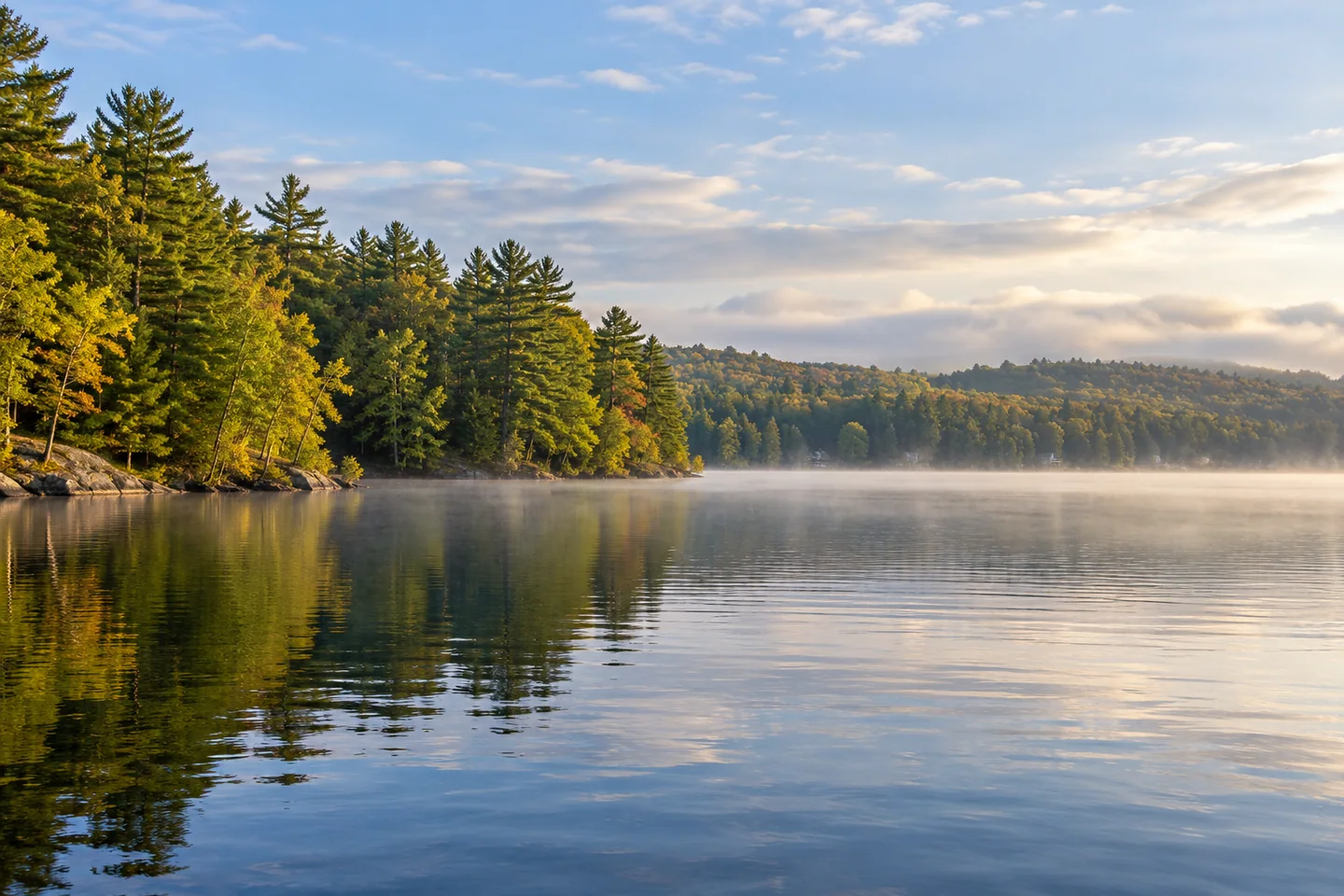
Doug Dunnevant's October 2023 account supplies a more immediate sense of paddling here. He and his wife began on still, foggy water and enjoyed views of both substantial homes and modest traditional camps along the wooded shore. After they turned south, a chilly, misty wind made the return much harder, especially because he was towing the second kayak. He still felt the trip worthwhile, while being frank about fatigue. This was a private-camp outing with its own circumstances, not a route prescription. It makes a useful distinction between appreciating a lake's scenery and assuming that an inviting start will produce an equally easy finish.
Lake Stewards of Maine's Hobbs Pond profile gives the shoreline a scale of roughly five miles. That figure helps explain why a pond can offer several changing views without requiring an all-the-way-around ambition. For photographs, try letting a short stretch of shore curve across the composition, leaving distant buildings as small elements in a larger wooded setting. A second image can focus entirely on the surface. The two frames can record both the shape of the place and the conditions that made this particular visit different from someone else's account.
Fun facts
- A historical state survey records a maximum depth of 20 feet.
- A 2017 association report describes an accidental removal of the southern dam during road work.
Before you go
- Confirm the public landing’s present conditions with the town.
- Allow for a harder return if the wind changes during a paddle.
Visitor perspectives
- Doug Dunnevant enjoyed a foggy paddle past wooded shores and camps, then found the return much harder in a chilly wind while towing his wife’s kayak. He still considered the trip worthwhile.
Capture
- Use a short curve of wooded shore to show scale; keep private buildings small and avoid photographing camp activity.
 Alford Lake
 Unity Pond (Lake Winnecook)
 Biscay Pond
Social
Hobbs Pond in Hope has an established public landing.
Local volunteers repeatedly test water clarity and bacteria in the Hobbs and Fish ponds program.
A historical survey describes a shallow warmwater basin.
A 2017 report links an accidental dam removal with ordinary road maintenance.
One October paddler enjoyed the still start but worked hard on the windier return.
Small camps and larger homes appeared among the wooded shores in his account.
A roughly five-mile shore offers more than one way to frame the pond.
How would you photograph a place whose water keeps changing while you watch? #Cre8Travel
Hashtags