 Cre8Travel
CRE8TRAVEL · MAINE PLACES
Sebago Lake
Sebago Lake: Big Water, Shared Responsibility
Discover
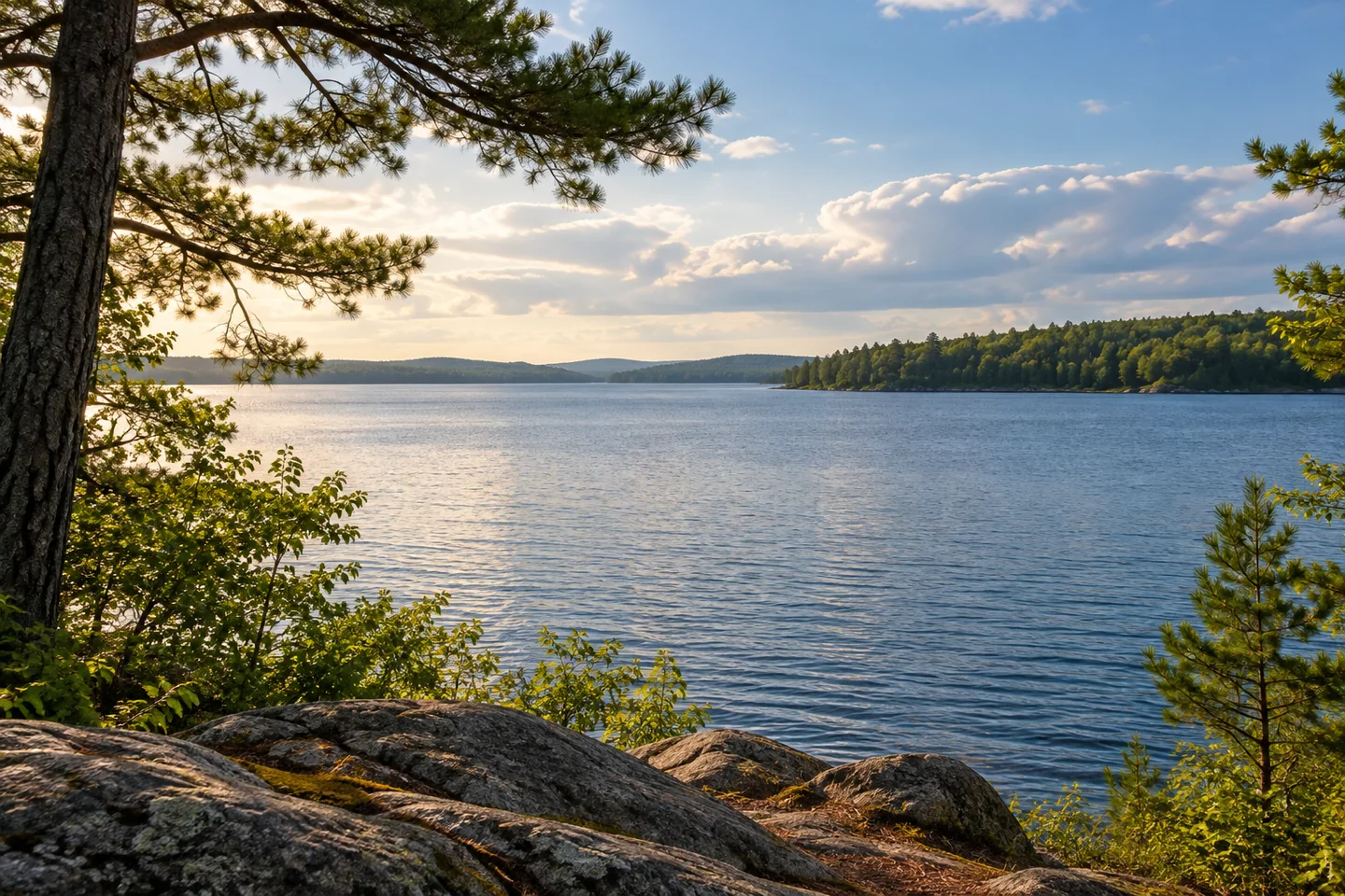
Sebago Lake is large enough to change the scale of an ordinary lake day. A shore that looks close from a map can become a distant band of trees from the water; a single outing is better built around one bay than an ambition to see everything. In southern Maine, the lake touches Casco, Naples, Raymond, Sebago, Standish, and Windham. Its broad water, different approaches, and surrounding communities make choosing an arrival point the first interesting decision of the visit.
There is another reason to read the map carefully. Sebago supplies drinking water to a substantial part of greater Portland. Portland Water District monitors the lake and its tributaries, treating the surrounding forests and streams as part of the same source. The water in a holiday photograph and the water that eventually reaches a kitchen tap belong to one connected system. The watershed reaches well beyond the shore, so even a visit confined to one bay belongs to a much wider drainage landscape. That relationship makes an otherwise familiar scene of boats and wooded shoreline unusually consequential: what happens around the edge matters well beyond the nearest cottage.
At Lower Bay, protecting the drinking-water intakes creates two different kinds of restriction. One marked area excludes trespassing; a broader area permits boating but prohibits swimming, wading, and other bodily contact. These are not interchangeable rules. Sebago Lake Station Landing in Standish lies within the no-contact area, so even launching requires attention to how people enter their boats. Choose a different permitted setting if swimming is the point of the day, and follow the water district's current map and the signs at the actual access.
For boating, state fishing guidance identifies several established approaches, including the Route 302 launch and access in Standish. Select the launch that fits your intended piece of lake, then verify its conditions, parking arrangements, and any active water-use restrictions. An arrival plan should include the return, particularly for a small craft that will feel wind and wakes differently from a larger motorboat. A view across open water can be inviting without being an instruction to cross it.
Jonathan Hall's Little Red Tug account, published in 2020, gives the scale a practical human dimension. He enjoyed several days exploring Sebago aboard a small cruising boat, appreciated the varied scenery, and also found fewer places to step ashore than the long shoreline might suggest. Wind and waves became significant on one day. His report suits a trip imagined as time on the water, with supplies and landings planned, rather than a succession of spontaneous stops wherever a pleasant bank appears.
From your chosen legal shore position, leave room simply to look. Frame a modest piece of foreground against the long wooded horizon, or compare the texture of sheltered water with the more exposed surface beyond. Sebago Clean Waters describes a lake of roughly forty-five square miles; the point of that figure is perspective, not a distance challenge. A memorable visit can remain within one manageable area while revealing why this lake is both a recreation landscape and a resource shared by people who may never launch a boat.
Fun facts
- Sebago Lake borders six Maine towns, giving it several distinct approaches.
- Lower Bay has separate no-trespassing and no-bodily-contact protection zones.
- Portland Water District monitors lake water and tributaries as parts of the drinking-water source.
Before you go
- Choose an established launch for the particular bay you intend to visit.
- Use the current Lower Bay protection map; boating permission does not automatically permit swimming.
- Check Maine DEP water-use notices before launching, and clean your equipment before changing waterbodies.
Visitor perspectives
- Jonathan Hall, writing at Little Red Tug in August 2020, enjoyed several days cruising Sebago and its changing scenery. He also found shore stops limited and encountered strong wind and waves on one day.
Capture
- From a permitted shore position, use trees as a narrow foreground frame for the wider lake.
- Photograph changes in water texture without moving into an exposed crossing to obtain a wider angle.
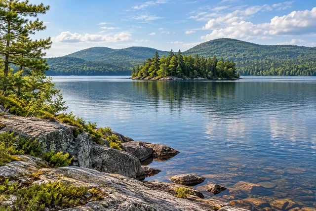 Lake Anasagunticook
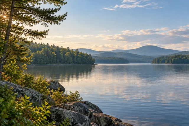 Kezar Lake
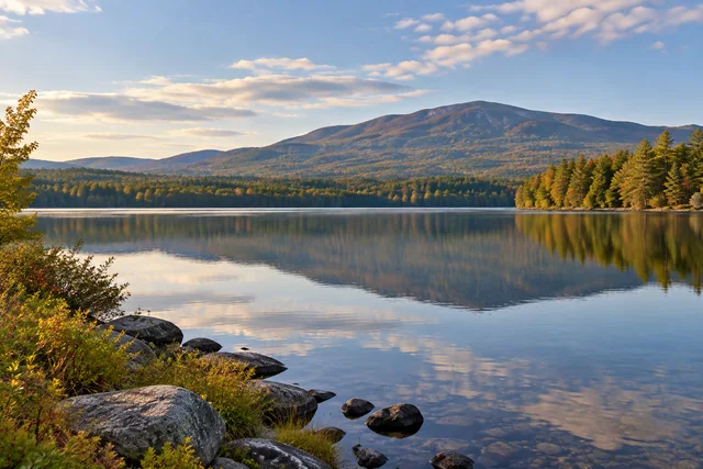 Moose Pond
Social
Sebago Lake touches six towns. Pick one arrival point and get to know the water in front of you.
This lake also supplies drinking water to greater Portland. Its wooded edges are part of the story.
Lower Bay has two different protection zones. Read the map before treating a boating area as a swimming spot.
A long shoreline does not mean unlimited places to land. Plan your stops before leaving the ramp.
Jonathan Hall enjoyed a multi-day Sebago cruise, while noting limited shore stops and significant wind on one day.
Lake photography can start with a little foreground and a lot of horizon.
Check active water-use notices and inspect your boat before and after launch.
Would you build a Sebago day around paddling, cruising, or watching the water from shore?
Hashtags