 Cre8Travel
CRE8TRAVEL · MAINE PLACES
Kezar Lake
Kezar Lake: Three Basins, Different Perspectives
Discover
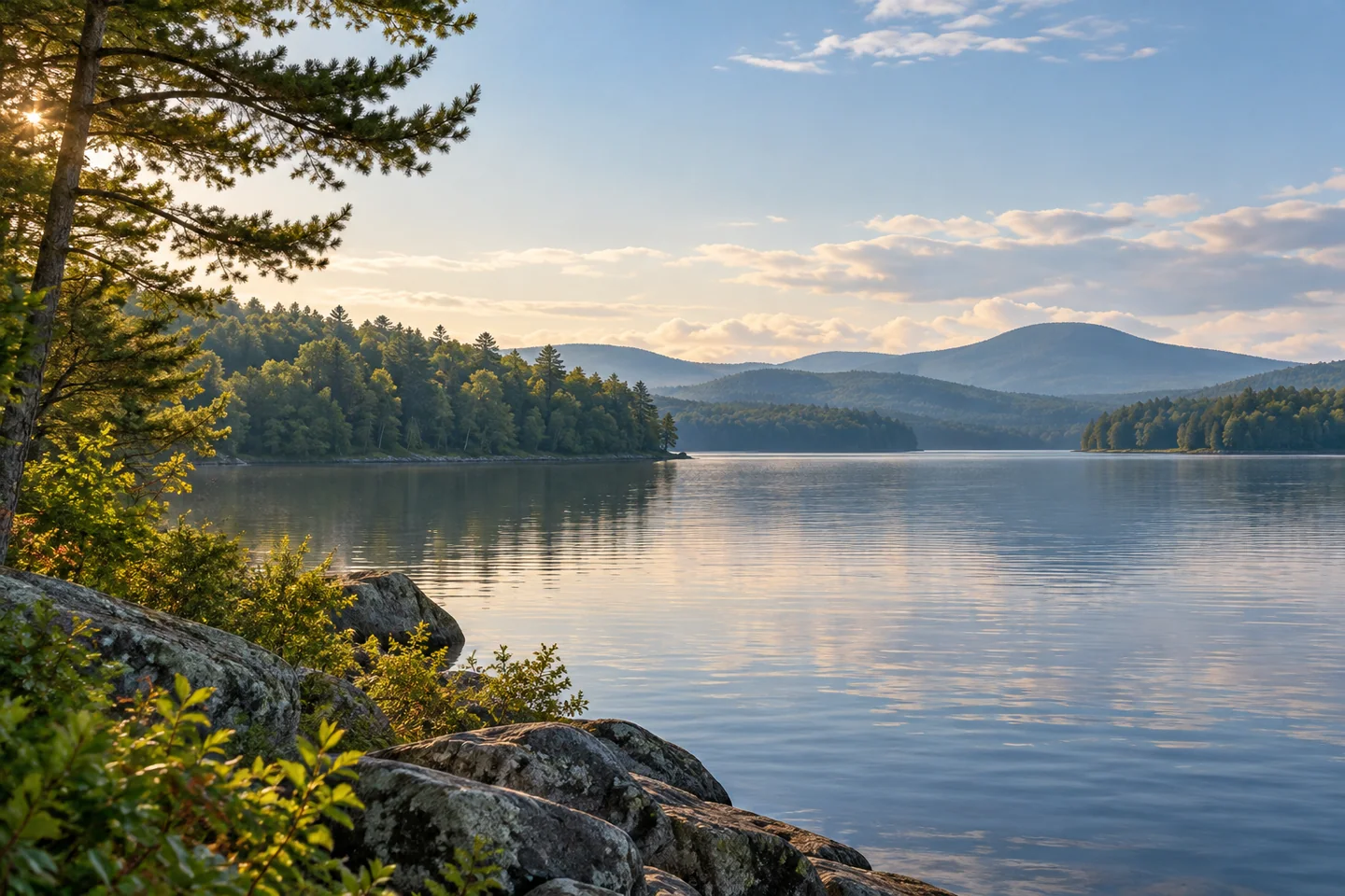
Kezar Lake stretches through the Lovell landscape as a sequence of basins rather than one uniform sheet of water. Its north-to-south shape gives visitors a useful choice: get to know a manageable part of the lake, instead of turning the entire outline into a route. The Kezar Lake Watershed Association describes upper, middle, and lower monitoring areas, each with its own depth and water-quality behavior. That variation is worth remembering even if the day's equipment consists only of a camera and a picnic.
Start by matching your plan to a recognized public landing. The state lake survey marks public boat access, and Lovell’s town rules distinguish its beaches and landings. These are specific approaches to the water, not an invitation to use any attractive stretch of private shoreline. A launch can introduce a fishing outing, a locally planned paddle, or a brief look across the lake. Before committing to a route between basins, check its current suitability for your craft and the conditions you actually find.
The lake supports both warm-water and cold-water fish. A state survey lists smallmouth and largemouth bass alongside lake trout and landlocked salmon. That mixture makes the underwater map interesting: depth is habitat, not merely a figure beside a blue shape. A shallow bay and a deep basin offer different living conditions, even when their surfaces look similar. Anglers should use the current rules for Kezar itself and treat the survey as biological background, rather than a navigation chart or a promise of a particular catch.
John Kumiski's original Global Outdoors account describes a stay near Kezar and several fishing outings in early September. He enjoyed kayaking through morning mist and finding smallmouth bass, while also taking interest in the people who searched the lake for invasive plants. It is a good account to read for the pleasure of looking closely. His experiences belong to one visitor's trip: fog, fishing success, and an uncrowded patch of water are possibilities to appreciate when they occur, rather than features anyone can reserve.
Kezar's clear-water reputation rests on more than appearances. The watershed association tracks clarity, nutrients, temperature, and other indicators in different parts of the lake. Its sediment-core project also asks how the surrounding landscape changed over a much longer period. Samples from the lake bed connect today's water with earlier land use and the effects of development. For a visitor, that offers a different way to read the view: the forest, roads, houses, streams, and open water are interacting pieces of one place.
Take a little of that attention to the landing. Lovell's invasive-plant prevention volunteers work at public launches, where inspecting a boat can prevent fragments from moving between lakes. Cooperate with inspections and learn what to examine on your own equipment as well. Then let the visit stay pleasantly specific: one basin, a legal shore viewpoint, a quiet interval watching the changing surface. A photograph with a layered wooded bank can say more about Kezar than a hurried attempt to fit its entire length into a single day.
Fun facts
- Kezar is monitored as upper, middle, and lower lake areas.
- The fish community includes both bass and cold-water species such as lake trout and landlocked salmon.
- Sediment-core research connects lake conditions with changes in the surrounding watershed.
Before you go
- Select a recognized public landing rather than assuming private shore access.
- Read current Kezar fishing rules separately from biological survey maps.
- Help launch inspectors check boats and gear for aquatic hitchhikers.
Visitor perspectives
- John Kumiski’s Global Outdoors account enjoys kayaking Kezar through morning mist and catching smallmouth bass during an early-September stay near Lovell. He also describes accompanying a local resident checking for invasive plants.
Capture
- Use overlapping shoreline layers to suggest the lake’s long shape without claiming an exact panoramic viewpoint.
- If mist is present, simplify the composition around one visible bank; do not rely on fog for your visit.
 Sebago Lake
 Moose Pond
 Mechanics Hall
Social
Kezar Lake rewards a basin-by-basin approach. A whole-lake outline is not a required itinerary.
Public landings provide specific access. An appealing private shore is still someone else’s property.
Bass, lake trout, and landlocked salmon share this varied lake system.
The lake bed holds a record of landscape change. Sediment cores add a long view to the surface scenery.
In his Global Outdoors account, John Kumiski enjoyed misty paddling and smallmouth fishing near Lovell.
Clarity is only one way to understand a lake. Temperature and nutrients matter too.
A quick equipment inspection at the landing can protect much more than your own day out.
Which would catch your attention first at Kezar: the wooded banks, the water, or what lives beneath it?
Hashtags