 Cre8Travel
CRE8TRAVEL · MAINE PLACES
Long Pond
Long Pond in Livermore: A Narrow Lake with a Wider Public Story
Discover
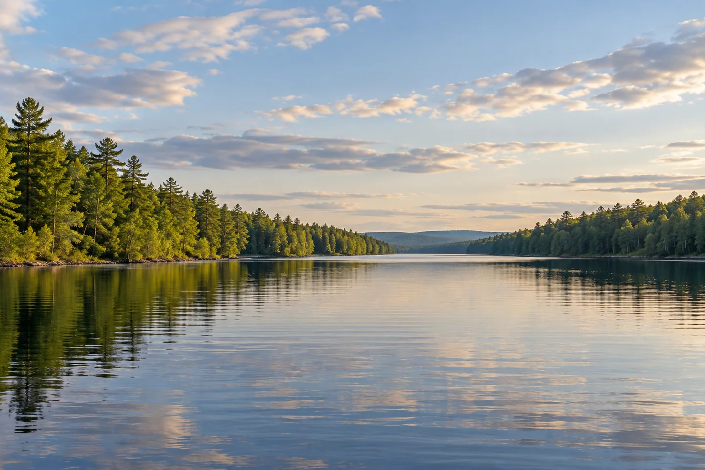
Long Pond in Livermore offers a lake outing organized around a long, narrow shape and an established public approach. A regional recreation inventory includes its boat ramp, while the Natural Resources Council of Maine describes the access project that secured land on both Long and neighboring Round Pond. Confirm current ramp conditions with the responsible local or state manager before bringing a boat. Choose the Livermore water carefully when preparing directions; Maine's repeated Long Pond name can lead a map search toward a quite different destination.
The fisheries survey revised in 2006 gives Long Pond an area of 208 acres and a maximum depth of eighteen feet. It describes a shallow basin draining directly to the Androscoggin River, with suitable habitat for warmwater species including smallmouth bass and white perch. Those measurements make a useful counterpoint to the elongated surface view. Length does not imply a deep channel. A map and the historical profile can help frame your interest, while present weather, navigation, and current rules should determine any route or fishing plan.
The same survey records a change in fisheries management following construction of a launch in 2003. Coldwater stocking resumed, with brown trout depending on repeated introductions because suitable spawning and nursery habitat was limited. The report also describes an experimental brook-trout program without establishing that it continued indefinitely. Read the account as a dated management history rather than a current stocking announcement or a forecast of catches. The distinction matters at a shallow pond, where an attractive surface can conceal habitat limitations that require biologists to ask more specific questions.
Public access has its own history. The conservation council's account describes a 2000 acquisition supported by Land for Maine's Future, fisheries funds, and other conservation programs, followed by a long-term local commitment to maintain the ramps. It distinguishes the two neighboring ponds' access points; swimming and footpath descriptions attached to Round Pond should not be transferred automatically to Long Pond. A convenient place to launch is the result of ownership, funding, and maintenance arrangements, not proof that every shoreline is available for landing. Keep private property outside your route.
Water also belonged to an earlier working landscape. An 1874 town history places Livermore's first sawmill and gristmill near Long Pond's outlet, probably in 1782 or 1783, and follows the property through successive owners before its association with the Gibbs name. These are historical references, not a promise of surviving mill machinery or permission to explore an outlet structure. Hold that earlier use alongside the later recreational access story: the same water can enter a community's history through power, trade, public decisions, and leisure without every phase remaining equally visible.
Stan's original account of a March 2022 ice-fishing outing supplies one individual's experience of the pond's changing light. He worked the eastern shoreline's morning shade, chatted with a nearby resident, and ended with several kinds of fish rather than an uninterrupted succession of bites. That winter account does not establish safe ice for a later visit. For an open-water outing, keep the boat stable and photograph the length of the view or a simple arrangement of shore and water. Let the visit bring scale, habitat, access, and working history together without requiring a particular catch or season to make the pond worthwhile.
Fun facts
- The historical fisheries profile records a maximum depth of eighteen feet.
- A conservation acquisition helped secure public access to Long and Round Ponds.
- An early town history places sawmill and gristmill activity near Long Pond’s outlet.
Before you go
- Confirm the Livermore location and present ramp conditions before traveling.
- Check current fishing rules rather than relying on an older survey or blog.
- Keep private shoreline and operating outlet structures outside the landing plan.
Visitor perspectives
- Stan’s March 2022 fishing account appreciated Long Pond’s pretty setting and followed the eastern shoreline’s morning shade. The outing brought several fish and a friendly conversation, with long quiet stretches between bites.
Capture
- From a stable permitted position, make the lake’s elongated view part of the composition.
- Compare a wide water-and-shore frame with a small surface detail without changing landing permissions.
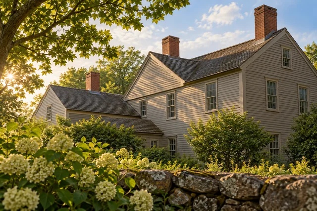 Emerson-Wilcox House Museum
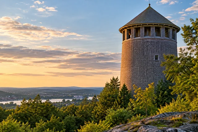 Thomas Hill Standpipe
 Skowhegan Indian Sculpture
Social
Long Pond in Livermore pairs an elongated surface with a shallow basin.
Its historical profile records a maximum depth of eighteen feet.
Fisheries management responds to habitat as well as public interest in angling.
Public access followed a conservation acquisition and maintenance commitments.
Neighboring Round Pond has its own access descriptions.
An older town history connects the outlet with early milling.
Stan’s winter account records changing light and an uneven morning’s fishing.
One lake can be read through ecology, access, work, and a personal day on the water.
Hashtags