 Cre8Travel
CRE8TRAVEL · MAINE PLACES
Biscay Pond
Biscay Pond: A Shared Water with a Long Community Story
Discover
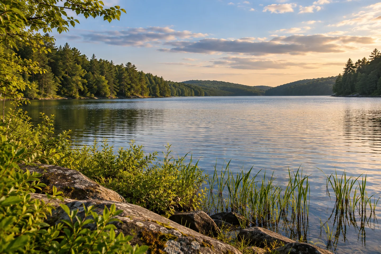
Biscay Pond offers a freshwater outing from Damariscotta's public beach and launch area. The town continues to identify Biscay Beach as a public swimming-and-boating facility in its capital planning. Choose whether the day is mainly a shore visit or a paddle before unloading equipment, then keep the working launch clear of picnic belongings. Confirm current beach and launch conditions with the town rather than assuming that a planning document describes every detail of today's arrangements. For a first view, allow the near shore to frame the water instead of treating the entrance merely as a place to hurry through on the way somewhere else.
The pond belongs to the Pemaquid River drainage. A state fisheries report revised in 2002 describes these connected waters as deep, narrow sections of the river system. It recounts smallmouth bass arriving from McCurdy Pond in the early 1960s, followed by a wider establishment of largemouth bass. Sea-run alewives add another connection, entering the river system to spawn and providing food for freshwater fish. These are ecological relationships rather than instructions to complete a through-paddle. Water levels, passage and a suitable return still require their own planning. Looking along the pond, it is worth remembering that the visible stretch is part of a larger living network.
There is also a long community story behind the view. A 2025 local account traces the Biscay Pond Association to 1966, when residents from Damariscotta, Bristol and Bremen organized to protect their shared water. Volunteers sampled it, counted loons and measured the water table. Its first president was Richard W. Bryant, whose daughter Mary Berger recalled the cooperation among neighbors from different towns. The association preceded the later watershed and river organizations that eventually became Coastal Rivers Conservation Trust. A visitor need not know every organizational change to appreciate the continuity: the pond has drawn people together to care for something whose boundaries do not follow a single town line.
A water-quality report covering data through 2022 gives that long attention a measurable form. It classifies Biscay as a coastal deep lake and records a maximum depth of 61 feet. Its late-summer profiles show how temperature and dissolved oxygen can differ with depth; its year-by-year clarity record reaches back to the 1970s. Those measurements describe more than the surface that appears in a photograph. They also answer different questions from a current swimming advisory. Read an older report as a record of the pond's behavior, not as permission to enter the water today. A view can be beautiful while remaining only one part of the lake's story.
Coastal Rivers' own 2024 announcement describes courtesy boat inspectors working at the public launches on Biscay and Pemaquid ponds. With owners' permission, they check boats and trailers for plant material and explain how aquatic plants can move between waters. That makes preparation before launching part of the outing, rather than an interruption to it. Cooperate with any inspection operating during your visit and clean equipment between waters. For a photograph, pair the long view with a closer image of shore plants left in place. The combination can show both the pond's open space and the small details that connect it with the people caring for it.
Fun facts
- Residents formed the Biscay Pond Association in 1966.
- A state report traces smallmouth bass arriving from McCurdy Pond in the early 1960s.
Before you go
- Check current town beach and launch conditions before planning water activities.
- Cooperate with boat inspections and clean equipment between waters.
Capture
- Pair a long view along the pond with a closer frame of shore plants left in their natural position.
 Unity Pond (Lake Winnecook)
 Pleasant Lake
 Little Pennesseewassee Pond
Social
Biscay Beach provides a public swimming-and-boating foothold in Damariscotta.
Biscay Pond is part of the connected Pemaquid River drainage.
Sea-run alewives add a seasonal connection to its freshwater food web.
A community association began protecting the shared pond in 1966.
Water-quality records reveal more than the surface in a scenic photograph.
Older monitoring results are context, not a current swimming clearance.
Courtesy boat inspections help keep unwanted plants from traveling between waters.
What detail would you place beside a wide lake view to tell more of its story? #Cre8Travel
Hashtags