 Cre8Travel
CRE8TRAVEL · MAINE PLACES
Fort Preble
Fort Preble from the Shoreway
Discover
Fort Preble occupies an unusual meeting point between a college day and a coastal-defense landscape. On Southern Maine Community College's South Portland campus, the surviving fortifications face the harbor beside the public shoreway. This visit is best approached as an exterior walk with historical context. Follow the college's signed reroute and respect fencing around damaged structures; a photograph taken before storm damage does not establish permission to enter the same position today.
The site's military history begins in 1808. Its name honors Commodore Edward Preble, a Portland naval officer. The college, founded in Augusta as the Maine Vocational Technical Institute, moved to the former fort in 1952. Its first classes here opened that October, beginning the site’s college chapter. That succession gives the setting a particular interest. Instead of an isolated fort with all modern life removed, you encounter a place where education has taken over ground once organized for defense.
For a more detailed historical reading, the Coast Defense Study Group's site inventory distinguishes different construction phases. An unfinished granite work began in 1863; nineteenth-century changes also placed a granite face over the earlier brick fort. Battery Rivardi followed in 1906 on the original fort's site. The inventory's descriptions concern a visit made long before recent storm damage, so use them to understand the sequence, not to select an entrance. They make clear why one date cannot explain every surviving wall or battery.
The fort can also be understood through its relationship with the harbor. South Portland Land Trust describes it as a War of 1812 post and records that Confederate raiders captured after the 1863 Portland Harbor incident were held here. The story shifts attention from a picturesque ruin to an installation connected with people, shipping, and a defended port. Looking outward from the permitted shoreway gives that history a geographic setting. You can consider what a harbor entrance meant without reenacting a soldier's position or searching for a route into a closed room.
Today the coast is shaping how people move through the site. The college explains that erosion and severe storms damaged the fort and its approaches; stairs formerly taking walkers over a bunker have been removed. The public walking route goes around affected areas, with interpretation addressing storm damage and rising seas. Use that interpretation as part of the visit rather than viewing the diversion only as an inconvenience. It connects the old defensive landscape with a present question: how do you keep a valued coastal place available while its ground and structures change?
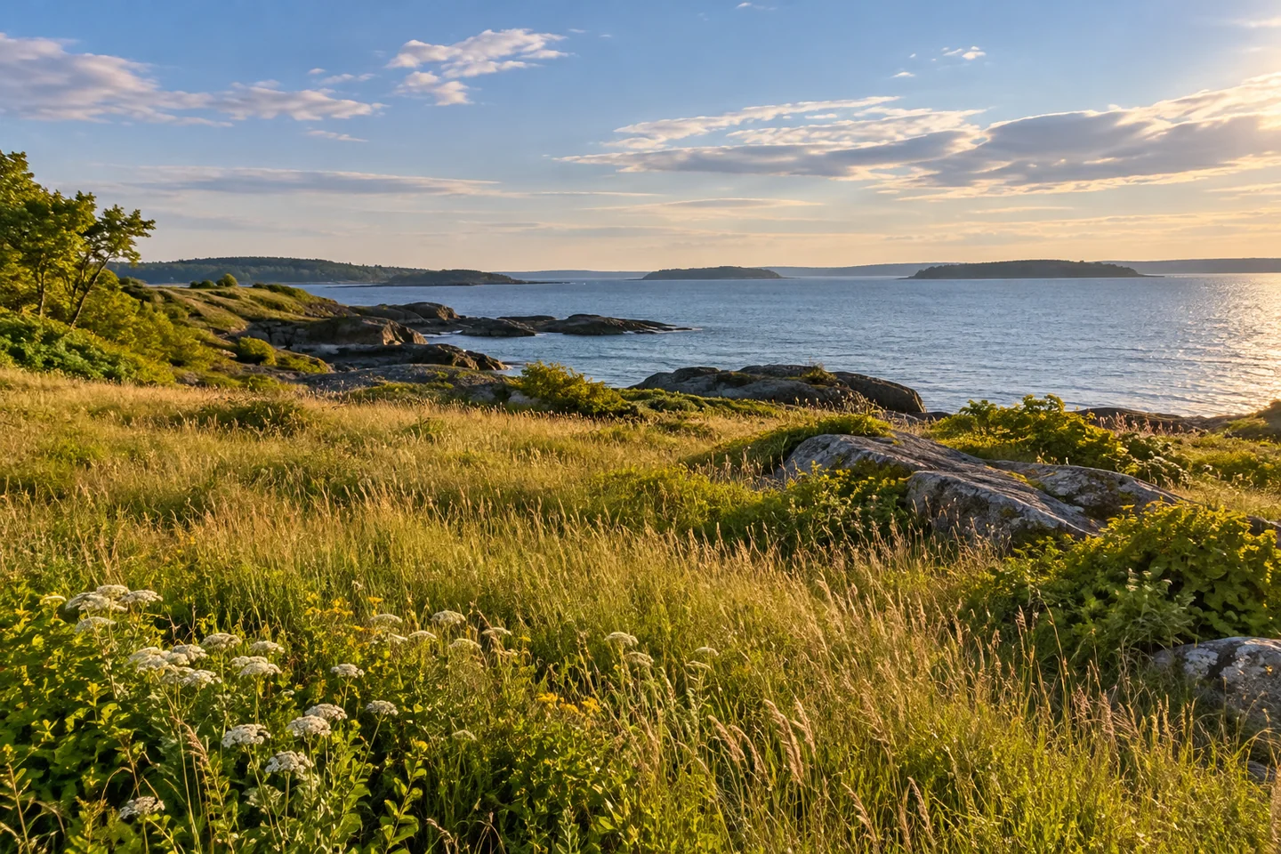
NHjo's March 2025 Tripadvisor account offers a restrained visitor perspective. Fencing limited access, snow and cold wind made walking less appealing, but harbor views still rewarded the stop. Conditions on your day may differ. Choose clothing for the exposed shore, find the permitted view first, and take photographs without stepping beyond barriers. A broad image can show the fort in its campus and harbor setting; a closer one can study masonry visible from the path. Let the visit connect three chapters—military use, educational reuse, and coastal change—while leaving protected structures undisturbed.
Fun facts
- Fort Preble’s name honors Commodore Edward Preble.
- Battery Rivardi was built on the original fort’s site in 1906.
- Confederate raiders captured in the 1863 Portland Harbor incident were held at the fort.
Before you go
- Follow the college’s signed shoreway route and remain outside fenced or restricted structures.
- Use historic plans to interpret the site, not to find an entrance through present barriers.
- Dress for an exposed coastal walk and photograph from the permitted path.
Visitor perspectives
- NHjo’s March 2025 Tripadvisor review describes photographing the fort with access restricted by fencing. Snow and cold wind limited the appeal of walking that day, but views toward the lighthouse, Fort Gorges, and islands were appreciated.
Capture
- Use a lawful shoreway viewpoint to connect visible fortifications with the harbor setting.
- Study masonry textures from the path; do not approach a damaged wall or cross a barrier for a closer frame.
 Androscoggin Swinging Bridge
 Gulf Island Pond
 South Pond
Social
Fort Preble’s setting joins a working college campus with harbor-defense history.
The fort’s name remembers Commodore Edward Preble, a Portland naval officer.
Several construction periods shaped the fortifications, including Battery Rivardi in 1906.
The harbor was part of the fort’s purpose, not simply a scenic backdrop.
Follow the signed shoreway route around damaged structures.
Interpretation of coastal change adds another chapter to this historic place.
NHjo’s March 2025 review noted restricted access and cold wind, while appreciating the harbor views.
What interests you most here: defense history, the college’s reuse, or a changing coast?
Hashtags