smart trip planning
KNOW BEFORE YOU GO
“What Can Go Wrong?” Planning Cards for All 63 U.S. National Parks
Cre8Travel World Open this stop in the game Acadia Start at this park, stamp the stop, then follow nearby parks and cities. Cre8Travel
smart trip planning
“What Can Go Wrong?” Planning Cards for All 63 U.S. National Parks
Cre8Travel World Open this stop in the game Acadia Start at this park, stamp the stop, then follow nearby parks and cities.
Cre8Travel planning philosophy:
Problem → Why it matters → Prevention → Plan B
These are designed as evergreen planning baselines, not live operating notices. National parks frequently change reservation systems, road access, shuttle operations, trail closures, wildfire restrictions, ferry schedules, volcanic viewing areas, and seasonal rules.
🧭 Planning Risk — how much advance thought the park rewards.
🔄 Plan-B Flexibility — how easily a good day can survive if Plan A fails.
💥 Mistake Consequence — how painful a planning mistake can become.
Each card scores five failure modes from 1–5:
🚗 Access
🎟️ Reservations
🌦️ Weather
🥾 Physical
👥 Crowds
Before publishing or traveling: verify current NPS conditions, road status, permits, timed entry, shuttles, ferry/boat schedules, wildfire closures, weather, and safety alerts.
Maine
🚗 Access: 🔴🔴🔴🔴⚪
🎟️ Reservations: 🔴🔴🔴⚪⚪
🌦️ Weather: 🔴🔴🔴⚪⚪
🥾 Physical: 🔴🔴🔴⚪⚪
👥 Crowds: 🔴🔴🔴🔴🔴
Trying to drive to every famous stop after the morning rush begins.
Popular summit/coastal parking can become the day’s bottleneck; use shuttles when operating and avoid unnecessary car moves.
Some summit access and seasonal operations can require advance planning; always check current NPS rules.
Wet granite, fog, wind and rapidly changing coastal weather can turn easy-looking walks slippery.
Short mileage can hide ladders, iron rungs and exposure on some famous routes.
Cadillac Mountain, Jordan Pond, Sand Beach and the central Park Loop Road corridor concentrate visitors.
Cell service is uneven in parts of the park; download maps before driving.
Staying too far from Mount Desert Island can turn every day into a commute.
If the core is jammed, shift to carriage roads, quieter lakes, or Schoodic Peninsula.
Pick one icon before breakfast, then let the rest of the day breathe.
American Samoa
🚗 Access: 🔴🔴🔴🔴🔴
🎟️ Reservations: 🔴🔴🔴🔴⚪
🌦️ Weather: 🔴🔴🔴🔴⚪
🥾 Physical: 🔴🔴🔴⚪⚪
👥 Crowds: 🔴⚪⚪⚪⚪
Planning it like a standard mainland road-trip park.
Island-to-island logistics, village access, local roads and flight schedules matter more than parking.
Flights, inter-island transport and some local services can be the real capacity limits; plan well ahead.
Heat, humidity, tropical rain and rough seas can reshape the day quickly.
Steep tropical trails can be much harder than their mileage suggests.
Crowds are usually low; logistics and weather are the dominant risks.
Connectivity can be limited; save confirmations, maps and contact information offline.
Assuming one lodging base makes all park units equally convenient.
If a hike is washed out, switch to cultural, coastal or village-based exploration.
Build the trip around transport and weather windows, not a rigid checklist.
Utah
🚗 Access: 🔴🔴🔴🔴⚪
🎟️ Reservations: 🔴🔴🔴🔴⚪
🌦️ Weather: 🔴🔴🔴🔴⚪
🥾 Physical: 🔴🔴🔴⚪⚪
👥 Crowds: 🔴🔴🔴🔴🔴
Showing up late and spending the day circling full parking lots in heat.
Small lots at famous formations fill fast, and backtracking wastes time.
Current entry-management or reservation rules can change by season; verify before travel.
Heat, lightning and occasional snow/ice can alter what is comfortable or safe.
Exposed slickrock and desert heat make moderate hikes feel harder.
Delicate Arch, Windows and Devils Garden are the pressure points.
Service is unreliable in places; carry offline maps and water.
Basing too far from Moab adds needless desert driving.
If Delicate Arch is overloaded, switch to Windows, Sand Dune Arch, or a longer less-famous trail.
Plan by light + temperature + parking, not by map order.
South Dakota
🚗 Access: 🔴🔴⚪⚪⚪
🎟️ Reservations: 🔴⚪⚪⚪⚪
🌦️ Weather: 🔴🔴🔴⚪⚪
🥾 Physical: 🔴🔴⚪⚪⚪
👥 Crowds: 🔴🔴🔴⚪⚪
Treating the Loop Road as a quick scenic drive and missing the heat, wind and wildlife realities.
Roadside pullouts are easy, but wildlife jams and limited shade can slow the route.
Reservations matter mostly for lodging/camping rather than day sightseeing.
Summer heat, thunderstorms, winter cold and strong wind can change conditions fast.
Exposed trails and crumbly formations can be hotter and steeper than they look.
Crowds cluster at a few overlooks and short trails.
Cell service varies; carry a full tank and offline map.
Staying far east or west of the park can add long drives at sunrise/sunset.
If main overlooks are packed, continue toward Sage Creek or stop at lesser-used pullouts.
Use sunrise and sunset to beat both crowds and flat midday light.
Texas
🚗 Access: 🔴🔴🔴🔴🔴
🎟️ Reservations: 🔴🔴🔴⚪⚪
🌦️ Weather: 🔴🔴🔴🔴🔴
🥾 Physical: 🔴🔴🔴🔴⚪
👥 Crowds: 🔴🔴⚪⚪⚪
Underestimating distance, heat and how remote the park really is.
Major areas are hours apart; poor routing can erase a day.
Lodging/camping and some river or guided activities can require advance booking.
Extreme heat, flash flooding, wind and winter cold snaps are all possible.
A ‘moderate’ desert hike can become serious when heat and elevation stack up.
Crowds are generally localized around Chisos Basin, Santa Elena and holiday weekends.
Expect weak or no service in many areas; download everything first.
Choosing one base and trying to crisscross the entire park daily.
If heat or trail conditions kill Plan A, use scenic drives, overlooks and shorter canyon walks.
Plan Big Bend by region: mountains, river, desert.
Florida
🚗 Access: 🔴🔴🔴🔴⚪
🎟️ Reservations: 🔴🔴🔴🔴🔴
🌦️ Weather: 🔴🔴🔴🔴🔴
🥾 Physical: 🔴🔴⚪⚪⚪
👥 Crowds: 🔴🔴⚪⚪⚪
Arriving at the visitor center and assuming you have ‘seen’ the park.
Most of the park is water; the key logistics are boat access and marine conditions.
Guided snorkeling, paddling and boat trips can fill; reserve the water experience first.
Wind, storms, visibility and sea conditions can cancel or alter plans.
Snorkeling comfort and swimming ability matter more than hiking fitness.
Crowd pressure is tied to popular boat departures, not trails.
Marine tours may depart beyond dependable cell coverage; save details offline.
Staying far from Homestead or the marina used for your tour complicates early departures.
If weather cancels boating, use shoreline, visitor center, nearby Everglades, or reschedule water time.
Book the boat first, then build the day around it.
Colorado
🚗 Access: 🔴🔴⚪⚪⚪
🎟️ Reservations: 🔴🔴⚪⚪⚪
🌦️ Weather: 🔴🔴🔴⚪⚪
🥾 Physical: 🔴🔴🔴🔴⚪
👥 Crowds: 🔴🔴⚪⚪⚪
Assuming every overlook is safe and effortless because it is roadside.
Steep drop-offs and limited railings at some viewpoints demand attention.
Day-use reservations are usually not the issue, but camping and some backcountry use can require planning.
Snow, ice, thunderstorms and high-elevation temperature swings can change access.
Inner-canyon routes are serious, steep and not normal hiking trails.
Main South Rim overlooks can be busy, but crowds are easy to escape.
Service can be spotty along the rim roads.
Staying too far from the South Rim can make sunrise/sunset impractical.
If a trail feels too exposed, use the paved scenic road and established overlooks.
Respect the canyon’s verticality. Easy access does not mean low consequence.
Utah
🚗 Access: 🔴🔴🔴⚪⚪
🎟️ Reservations: 🔴🔴⚪⚪⚪
🌦️ Weather: 🔴🔴🔴🔴⚪
🥾 Physical: 🔴🔴🔴⚪⚪
👥 Crowds: 🔴🔴🔴🔴⚪
Packing for Zion weather and discovering Bryce is much colder and higher.
Snow/ice can affect the rim and roads well outside the period visitors expect.
Shuttle or parking operations vary seasonally; verify current transportation setup.
High elevation means cold mornings, lightning, snow and rapid temperature swings.
Every below-rim descent must be climbed back out at altitude.
Sunrise Point, Sunset Point and Navajo Loop concentrate visitors.
Service is usually adequate near developed areas but can fade on scenic roads.
Staying too far away makes sunrise much harder than it needs to be.
If trails are icy or crowded, use rim viewpoints and the scenic drive.
Bring layers even when the rest of your Utah trip feels warm.
Utah
🚗 Access: 🔴🔴🔴🔴🔴
🎟️ Reservations: 🔴🔴🔴⚪⚪
🌦️ Weather: 🔴🔴🔴🔴⚪
🥾 Physical: 🔴🔴🔴🔴⚪
👥 Crowds: 🔴🔴🔴⚪⚪
Treating all districts as if they are next door to each other.
Island in the Sky, The Needles and The Maze require very different access and planning.
Backcountry permits and some campsites/activities require advance planning.
Heat, lightning, snow, flash floods and high wind can affect exposed terrain.
Route-finding, water scarcity and remote terrain can raise consequences quickly.
Mesa Arch and a few Island in the Sky pullouts concentrate most casual visitors.
Expect dead zones; carry offline maps and plenty of water.
Using Moab as a base is excellent for Island in the Sky but less efficient for The Needles.
If a remote route is unrealistic, pivot to paved Island in the Sky overlooks and short trails.
Choose the district before choosing the day’s attractions.
Utah
🚗 Access: 🔴🔴🔴🔴⚪
🎟️ Reservations: 🔴🔴⚪⚪⚪
🌦️ Weather: 🔴🔴🔴🔴⚪
🥾 Physical: 🔴🔴🔴⚪⚪
👥 Crowds: 🔴🔴⚪⚪⚪
Treating it as a drive-through filler between Bryce and Moab.
The scenic road is easy, but remote routes such as Cathedral Valley need very different preparation.
Camping and some remote/backcountry activities can require reservations or permits.
Flash floods, heat, snow and monsoon storms can close or complicate routes.
Slot canyons, washes and slickrock require weather awareness.
Fruita can be busy, but the park disperses quickly.
Cell service is unreliable in many areas.
Staying too far from Torrey makes sunrise/sunset and early trail starts harder.
If remote roads are questionable, stay with Fruita, Grand Wash and paved scenic areas.
Never let Cathedral Valley road conditions become an ego test.
New Mexico
🚗 Access: 🔴🔴🔴⚪⚪
🎟️ Reservations: 🔴🔴🔴🔴🔴
🌦️ Weather: 🔴🔴⚪⚪⚪
🥾 Physical: 🔴🔴🔴⚪⚪
👥 Crowds: 🔴🔴🔴⚪⚪
Showing up without understanding cave-entry or tour logistics.
The Natural Entrance and elevator experience can have very different physical/time demands.
Timed cave entry or ranger tours may require advance reservations; verify current rules.
Surface heat and storms contrast sharply with cool cave temperatures.
The Natural Entrance descent/climb is much more demanding than an elevator visit.
Crowds cluster at the visitor center, cave entrance and elevator queues.
Service can be limited once you leave the developed core.
Staying far away can create an unpleasantly early drive for reserved tours.
If a preferred cave tour is unavailable, use self-guided permitted routes and surface desert stops.
Reserve the cave first. Everything else is secondary.
California
🚗 Access: 🔴🔴🔴🔴🔴
🎟️ Reservations: 🔴🔴🔴🔴🔴
🌦️ Weather: 🔴🔴🔴🔴🔴
🥾 Physical: 🔴🔴🔴⚪⚪
👥 Crowds: 🔴🔴⚪⚪⚪
Planning the island before securing transportation.
Ferries, seas, island landing conditions and fixed return times control the entire day.
Ferry/camping reservations can be essential and sell out.
Wind, swell, fog and marine weather can cancel or roughen trips.
Once on an island, there may be little shade, water or quick rescue from poor pacing.
Crowds are generally low once travelers leave the dock.
Expect little or no cell service offshore and on islands.
Staying far from Ventura/Santa Barbara harbors adds risk to early departures.
If a landing is canceled, use mainland coastal plans or rebook another island/day.
Transportation first, island second, trail third.
South Carolina
🚗 Access: 🔴🔴🔴⚪⚪
🎟️ Reservations: 🔴🔴⚪⚪⚪
🌦️ Weather: 🔴🔴🔴🔴⚪
🥾 Physical: 🔴🔴⚪⚪⚪
👥 Crowds: 🔴🔴⚪⚪⚪
Assuming the boardwalk will always be dry and bug-free.
Flooding can close or change trail/boardwalk access.
Reservations matter more for paddling/camping than standard day use.
Flooding, heat, humidity, thunderstorms and mosquitoes can dominate the experience.
Flat does not mean effortless when heat, water and insects are severe.
Crowds are modest and easy to escape.
Connectivity can be patchy in the floodplain.
There is little need to stay extremely close unless planning dawn paddling.
If flooding closes trails, use open boardwalk sections, ranger guidance, or return after conditions improve.
Check water/flood and insect conditions, not just the weather forecast.
Oregon
🚗 Access: 🔴🔴🔴🔴🔴
🎟️ Reservations: 🔴🔴🔴⚪⚪
🌦️ Weather: 🔴🔴🔴🔴🔴
🥾 Physical: 🔴🔴⚪⚪⚪
👥 Crowds: 🔴🔴🔴🔴⚪
Assuming the full rim is open because it is summer.
Snow can keep roads and facilities closed surprisingly late.
Lodging/camping and boat access can be capacity-limited; verify seasonal reservations.
Heavy snow, smoke, storms and cold can erase the famous blue view.
Some lake-access hikes involve significant descent and climb.
Rim Village and classic Wizard Island viewpoints collect most visitors.
Service can be limited around the rim.
Staying too far away makes weather pivots harder.
If clouds hide the lake, use forest trails, Pinnacles, or wait for changing visibility.
Treat road status as the first planning question, not the last.
Ohio
🚗 Access: 🔴🔴🔴⚪⚪
🎟️ Reservations: 🔴🔴⚪⚪⚪
🌦️ Weather: 🔴🔴⚪⚪⚪
🥾 Physical: 🔴🔴⚪⚪⚪
👥 Crowds: 🔴🔴🔴⚪⚪
Trying to do every famous stop by car at the same time as everyone else.
Small trailhead lots fill even though the park is surrounded by developed areas.
Reservations may matter for scenic railroad experiences and some events, not general entry.
Rain, ice and humidity can change waterfall/trail conditions.
Steep ravines and wet stone can surprise casual walkers.
Brandywine Falls is the classic congestion point.
Connectivity is generally better than remote western parks.
A distant hotel is unnecessary; stay somewhere that fits the rest of your regional trip.
If Brandywine is full, pivot to The Ledges, Towpath Trail or another district.
Have three nearby alternatives saved before you arrive.
California & Nevada
🚗 Access: 🔴🔴🔴🔴🔴
🎟️ Reservations: 🔴🔴⚪⚪⚪
🌦️ Weather: 🔴🔴🔴🔴🔴
🥾 Physical: 🔴🔴🔴🔴🔴
👥 Crowds: 🔴🔴⚪⚪⚪
Treating extreme heat like an inconvenience instead of a hazard.
Distances are huge and roadside help may be far away.
Most day sightseeing needs no reservation, but lodging/camping can sell out in peak season.
Extreme heat, flash floods, wind and rare cold/snow can all affect routes.
A short walk can become dangerous in heat.
Crowds are localized; the bigger risk is environmental exposure.
Cell service is very limited in many areas.
A bad base location can add hours of desert driving.
If heat spikes, switch to sunrise, scenic driving, climate-controlled breaks and sunset.
Let the thermometer write the itinerary.
Alaska
🚗 Access: 🔴🔴🔴🔴🔴
🎟️ Reservations: 🔴🔴🔴🔴🔴
🌦️ Weather: 🔴🔴🔴🔴🔴
🥾 Physical: 🔴🔴🔴⚪⚪
👥 Crowds: 🔴🔴⚪⚪⚪
Assuming you can simply drive the full park road.
Vehicle/bus access and road operations can be restricted and change by season/year.
Transit, tours, lodging and camping can require advance reservations.
Rain, snow, smoke and cloud can hide the mountain or change access.
Backcountry travel is real wilderness travel, not just a long hike.
Crowds concentrate at transit nodes, not across the huge landscape.
Expect limited service beyond the entrance area.
Staying far from the entrance complicates early bus departures.
If Denali is clouded in, focus on wildlife, tundra, Savage River and the broader ecosystem.
Plan for a great Denali trip even if you never see Denali.
Florida
🚗 Access: 🔴🔴🔴🔴🔴
🎟️ Reservations: 🔴🔴🔴🔴🔴
🌦️ Weather: 🔴🔴🔴🔴🔴
🥾 Physical: 🔴🔴⚪⚪⚪
👥 Crowds: 🔴🔴🔴⚪⚪
Building the Florida Keys itinerary before booking transportation to the park.
There is no road; ferry, seaplane or private boat access controls the visit.
Transportation often sells out and should be booked first.
Wind and marine weather can cancel or make the crossing rough.
Sun exposure, swimming comfort and limited shade matter more than hiking fitness.
Day-trippers arrive in pulses, concentrating around Fort Jefferson.
Cell service is limited/unreliable offshore.
Staying outside Key West can make early departures stressful.
If transport is canceled, use Key West as a weather-buffer day and rebook if possible.
Dry Tortugas belongs at the center of the itinerary, not as an afterthought.
Florida
🚗 Access: 🔴🔴🔴🔴⚪
🎟️ Reservations: 🔴🔴⚪⚪⚪
🌦️ Weather: 🔴🔴🔴🔴⚪
🥾 Physical: 🔴🔴⚪⚪⚪
👥 Crowds: 🔴🔴🔴⚪⚪
Assuming the major entrances connect inside the park.
Shark Valley and the Homestead/Flamingo side require separate road approaches.
Some tours/trams/boats can benefit from reservations, especially in peak season.
Heat, humidity, thunderstorms, hurricanes and insects can radically change comfort.
Easy boardwalks are simple; paddling and heat exposure are the bigger physical variables.
Anhinga Trail and Shark Valley can get busy in winter.
Service can be inconsistent in the southern park.
One lodging base may work, but only if you plan entrances by day.
If one entrance is impractical, build the entire day around the other rather than cross-city backtracking.
Choose the entrance first, then choose the attractions.
Alaska
🚗 Access: 🔴🔴🔴🔴🔴
🎟️ Reservations: 🔴🔴🔴🔴⚪
🌦️ Weather: 🔴🔴🔴🔴🔴
🥾 Physical: 🔴🔴🔴🔴🔴
👥 Crowds: 🔴⚪⚪⚪⚪
Treating a roadless wilderness expedition like a normal national-park visit.
There are no roads or developed front-country systems inside the park.
Bush flights, guides, and backcountry logistics require serious advance planning.
Cold, storms, river conditions, wildfire smoke and flight weather can strand or delay trips.
Navigation, river crossings, wildlife and self-rescue skills are central.
Crowds are essentially irrelevant.
Do not expect reliable connectivity.
There is no conventional ‘base camp’ mistake; the mistake is underestimating expedition logistics.
If weather blocks access, build buffer days and alternate Alaska plans outside the park.
For this park, Plan B is not optional. It is part of the expedition design.
Missouri
🚗 Access: 🔴🔴🔴⚪⚪
🎟️ Reservations: 🔴🔴🔴🔴⚪
🌦️ Weather: 🔴🔴⚪⚪⚪
🥾 Physical: 🔴⚪⚪⚪⚪
👥 Crowds: 🔴🔴🔴🔴⚪
Assuming the Arch tram is a walk-up attraction during busy periods.
Security lines, downtown parking and timed tram access can create delays.
Tram tickets can sell out; reserve when your schedule is tight.
Severe thunderstorms, heat and winter weather can affect the outdoor portion.
The park itself is physically easy, though enclosed tram spaces may matter to some visitors.
Crowds center on security, museum and tram queues.
Connectivity is strong downtown.
A distant suburban hotel can turn a simple urban visit into a traffic problem.
If the tram is unavailable, explore the museum, grounds, Old Courthouse and riverfront.
Treat the tram as an appointment, not a casual stop.
Alaska
🚗 Access: 🔴🔴🔴🔴⚪
🎟️ Reservations: 🔴🔴🔴🔴🔴
🌦️ Weather: 🔴🔴🔴🔴🔴
🥾 Physical: 🔴⚪⚪⚪⚪
👥 Crowds: 🔴🔴⚪⚪⚪
Planning the park without securing the boat or cruise experience.
Much of the marquee scenery is reached by water.
Day boats, cruises and lodging can be capacity-limited.
Fog, rain, wind and marine conditions can alter views and schedules.
Land trails are easy relative to many Alaska parks; the challenge is marine access.
Crowds are modest and concentrated at docks/lodges.
Connectivity may be limited outside Bartlett Cove.
Staying far from departure points is generally impractical.
If glacier boating is disrupted, use Bartlett Cove trails, shoreline and ranger programs.
Book the water day first.
Montana
🚗 Access: 🔴🔴🔴🔴🔴
🎟️ Reservations: 🔴🔴🔴🔴🔴
🌦️ Weather: 🔴🔴🔴🔴🔴
🥾 Physical: 🔴🔴🔴🔴⚪
👥 Crowds: 🔴🔴🔴🔴🔴
Designing the entire vacation around one famous road or trailhead.
Going-to-the-Sun Road, Logan Pass and major trailheads can become capacity bottlenecks.
Seasonal vehicle/entry systems, lodging and popular campsites can require advance planning; verify current rules.
Snow, wildfire, smoke, thunderstorms and rapid alpine weather can change plans.
Snowfields, elevation and bear country raise the stakes on many hikes.
Logan Pass, Avalanche and famous lake corridors get very busy.
Service is inconsistent in mountain areas.
A base on the wrong side can produce hours of backtracking.
If one corridor fails, shift to Many Glacier, Two Medicine or another open district.
Never build a one-road Glacier vacation.
Arizona
🚗 Access: 🔴🔴🔴⚪⚪
🎟️ Reservations: 🔴🔴🔴⚪⚪
🌦️ Weather: 🔴🔴🔴🔴🔴
🥾 Physical: 🔴🔴🔴🔴🔴
👥 Crowds: 🔴🔴🔴🔴⚪
Hiking farther down than you can comfortably climb back up.
Rim shuttles and limited parking can be more efficient than moving your car.
Lodging, camping and some backcountry activities require planning; day viewpoints usually do not.
Inner-canyon heat can be dramatically hotter than the rim.
The easy part comes first: the descent.
Main village overlooks get busy, but crowds dissipate quickly along the Rim Trail.
Service is generally available at developed rims but unreliable below the rim.
Staying far from the rim makes sunrise difficult and wastes prime hours.
If a below-rim hike is too much, use Rim Trail + Desert View + multiple overlooks.
Judge the hike by the climb out, not the descent.
Wyoming
🚗 Access: 🔴🔴🔴⚪⚪
🎟️ Reservations: 🔴🔴🔴⚪⚪
🌦️ Weather: 🔴🔴🔴🔴⚪
🥾 Physical: 🔴🔴🔴⚪⚪
👥 Crowds: 🔴🔴🔴🔴⚪
Trying to combine every photo spot, Jenny Lake and wildlife drive into one peak-time morning.
Jenny Lake and famous sunrise pullouts can create local congestion.
Boat trips, lodging and popular campsites may need advance planning.
Mountain storms, smoke and early/late snow can change hiking and visibility.
Alpine trails can be demanding even when valley weather feels perfect.
Jenny Lake and sunrise photography sites are the busiest zones.
Service is uneven away from developed areas.
Staying far from Jackson/Moran/park entrances adds unnecessary driving.
If Jenny Lake is packed, shift to Taggart, Oxbow, scenic road loops or a quieter trail.
Use the mountains as your clock: sunrise photo, hike, midday drive, evening wildlife.
Nevada
🚗 Access: 🔴🔴🔴⚪⚪
🎟️ Reservations: 🔴🔴🔴🔴🔴
🌦️ Weather: 🔴🔴🔴🔴⚪
🥾 Physical: 🔴🔴🔴⚪⚪
👥 Crowds: 🔴🔴⚪⚪⚪
Thinking Lehman Caves is the whole park.
High-elevation roads/trails and cave access operate on different seasonal/logistical systems.
Cave tours commonly require reservations; verify current operations.
Snow, thunderstorms, cold and high-elevation exposure can change conditions rapidly.
Altitude makes Wheeler Peak and alpine hikes harder than the mileage suggests.
Crowds are modest, mostly around cave tours and major trailheads.
Cell service is limited in many areas.
Staying far away can make early tours and dark-sky nights less practical.
If cave tours are full, go high: bristlecones, alpine lakes, scenic drive.
Always have one underground plan and one above-ground plan.
Colorado
🚗 Access: 🔴🔴🔴⚪⚪
🎟️ Reservations: 🔴🔴⚪⚪⚪
🌦️ Weather: 🔴🔴🔴🔴⚪
🥾 Physical: 🔴🔴🔴🔴⚪
👥 Crowds: 🔴🔴🔴⚪⚪
Starting a dune hike too late and learning that sand, heat and storms all intensify.
Main dune parking is simple but can fill during peak weekends/Medano Creek season.
Camping can require reservations; normal dune access usually does not.
Hot sand, wind, lightning, sudden storms and winter cold are major variables.
Sand climbing is far harder than the distance suggests.
Crowds concentrate at the main dune access and creek.
Service is limited around the dune field.
Staying too far away makes sunrise/sunset much harder.
If dunes are too hot/windy, use forest trails, visitor center or return late.
Dawn and dusk solve heat, crowd and photography problems at once.
Tennessee & North Carolina
🚗 Access: 🔴🔴🔴🔴⚪
🎟️ Reservations: 🔴🔴⚪⚪⚪
🌦️ Weather: 🔴🔴🔴⚪⚪
🥾 Physical: 🔴🔴🔴⚪⚪
👥 Crowds: 🔴🔴🔴🔴🔴
Spending half the day trapped in traffic around famous roads.
Cades Cove and major corridors can be slow, especially on peak weekends.
Lodging/camping and special activities may require planning, though general entry is flexible.
Rain, fog, storms and winter ice can close roads/trails.
Wet roots, stream crossings and elevation can make forest hikes harder than expected.
Cades Cove, Newfound Gap and headline waterfalls collect large crowds.
Cell service can be weak in valleys.
A base on the wrong side of the mountains can add major drive time.
If a corridor jams, pivot to Cataloochee, Deep Creek or longer trails.
The park is huge. One congested road is not the whole Smokies.
Texas
🚗 Access: 🔴🔴🔴⚪⚪
🎟️ Reservations: 🔴🔴⚪⚪⚪
🌦️ Weather: 🔴🔴🔴🔴🔴
🥾 Physical: 🔴🔴🔴🔴🔴
👥 Crowds: 🔴🔴⚪⚪⚪
Arriving late for a major hike and running into heat, wind or trailhead parking trouble.
Pine Springs parking is limited relative to popular summit demand.
Backcountry/camping plans may need reservations or permits.
Wind can be extreme; heat and winter storms also matter.
Guadalupe Peak is a serious climb, not a casual Texas walk.
Crowds are localized around Pine Springs and McKittrick in fall.
Cell service is unreliable.
Staying far from the park complicates early starts.
If summit conditions are poor, use McKittrick Canyon, Devil’s Hall or shorter trails.
Check wind before checking your ego.
Hawaii
🚗 Access: 🔴🔴🔴🔴⚪
🎟️ Reservations: 🔴🔴🔴🔴🔴
🌦️ Weather: 🔴🔴🔴🔴🔴
🥾 Physical: 🔴🔴🔴🔴⚪
👥 Crowds: 🔴🔴🔴🔴⚪
Building the entire visit around sunrise without securing access or considering weather.
Summit road timing and Kīpahulu access are separate planning problems.
Sunrise summit access may require reservations; verify current NPS rules.
Cloud, cold, wind, heavy rain and flash flooding affect different districts differently.
Crater hikes lose/gain large elevation and can be exhausting at altitude.
Sunrise summit and famous Kīpahulu stops concentrate visitors.
Cell service is inconsistent in remote areas.
Staying far from summit access adds a brutal pre-dawn drive.
If sunrise fails, use sunset, crater hiking, or Kīpahulu on a separate day.
Sunrise is optional. Haleakalā is not.
Hawaii
🚗 Access: 🔴🔴🔴🔴⚪
🎟️ Reservations: 🔴🔴⚪⚪⚪
🌦️ Weather: 🔴🔴🔴🔴⚪
🥾 Physical: 🔴🔴🔴⚪⚪
👥 Crowds: 🔴🔴🔴🔴⚪
Assuming volcanic activity and access will match what you saw online last month.
Roads, overlooks and trails can close quickly due to volcanic or weather conditions.
Most day sightseeing is flexible, but some programs/camping may require planning.
Volcanic gas, rain, wind, heat and changing eruption conditions matter.
Lava terrain is uneven and more tiring than it looks.
Any visible eruption or glow can instantly concentrate visitors.
Connectivity varies along Chain of Craters Road.
A base far from the park makes late-night/early-morning viewing harder.
If activity changes, shift to Kīlauea Iki, Chain of Craters, Nāhuku or other open areas.
Volcanoes is a live system. Make flexibility part of the itinerary.
Arkansas
🚗 Access: 🔴🔴🔴⚪⚪
🎟️ Reservations: 🔴🔴⚪⚪⚪
🌦️ Weather: 🔴🔴⚪⚪⚪
🥾 Physical: 🔴🔴⚪⚪⚪
👥 Crowds: 🔴🔴🔴⚪⚪
Expecting a remote wilderness park and being surprised by an urban downtown core.
Parking and downtown traffic matter more than backcountry access.
Spa services and some activities may require separate reservations; park entry generally does not.
Heat, thunderstorms, winter ice and humidity affect trails.
Mountain trails are steeper than Bathhouse Row suggests.
Bathhouse Row concentrates visitors.
Connectivity is strong in town.
Staying far outside Hot Springs is unnecessary for most visitors.
If downtown is busy, hike Goat Rock/Hot Springs Mountain or return at blue hour.
Plan one history block and one trail block so the park feels complete.
Indiana
🚗 Access: 🔴🔴🔴🔴⚪
🎟️ Reservations: 🔴⚪⚪⚪⚪
🌦️ Weather: 🔴🔴🔴⚪⚪
🥾 Physical: 🔴🔴⚪⚪⚪
👥 Crowds: 🔴🔴🔴🔴⚪
Arriving at a famous beach midday on a hot weekend with no backup parking plan.
Beach lots can fill fast.
Some facilities/camping may need reservations; general access is usually flexible.
Lake weather, rip currents, thunderstorms, heat and winter conditions matter.
Dune sand makes short climbs much harder.
West Beach and popular shoreline access can get very busy.
Connectivity is generally good.
Staying too far inland can make sunrise/sunset beach timing inconvenient.
If a beach is full, switch to wetlands, Cowles Bog, Great Marsh or another access point.
Have a Plan B beach and a Plan B habitat.
Michigan
🚗 Access: 🔴🔴🔴🔴🔴
🎟️ Reservations: 🔴🔴🔴🔴🔴
🌦️ Weather: 🔴🔴🔴🔴🔴
🥾 Physical: 🔴🔴🔴🔴⚪
👥 Crowds: 🔴⚪⚪⚪⚪
Missing transport timing or underestimating how remote the island feels once you arrive.
Ferries/seaplanes have fixed schedules and weather sensitivity.
Transportation, camping and some lodging require advance reservations.
Lake Superior storms, cold water, rain and wind can change plans.
Backpacking is real wilderness travel with limited resupply/rescue.
Crowds are very low beyond docks.
Expect very limited connectivity.
There is no easy hotel commute once on the island; your lodging/camp is the base.
If weather delays transport, build buffer days around mainland travel.
Schedule slack is survival gear here.
California
🚗 Access: 🔴🔴🔴⚪⚪
🎟️ Reservations: 🔴🔴⚪⚪⚪
🌦️ Weather: 🔴🔴🔴🔴⚪
🥾 Physical: 🔴🔴🔴⚪⚪
👥 Crowds: 🔴🔴🔴🔴⚪
Treating the desert like a temperate park and hiking at the wrong time of day.
Small parking areas near Hidden Valley, Barker Dam and Keys View can fill.
Camping and some special activities may require reservations; general entry is usually flexible.
Heat, wind, thunderstorms and winter cold can all matter.
Rock scrambling and heat exposure raise risk quickly.
Main pullouts and sunset Keys View are busy.
Cell service is unreliable inside much of the park.
Staying too far from entrances adds empty driving.
If trails are too hot/crowded, scenic-drive, picnic, rest, then return for sunset/stars.
Use darkness as part of the itinerary, not the end of it.
Alaska
🚗 Access: 🔴🔴🔴🔴🔴
🎟️ Reservations: 🔴🔴🔴🔴🔴
🌦️ Weather: 🔴🔴🔴🔴🔴
🥾 Physical: 🔴🔴🔴⚪⚪
👥 Crowds: 🔴🔴🔴⚪⚪
Planning a bear trip without understanding flights, lodging and managed viewing procedures.
Bush-plane access controls the trip.
Flights, lodging and key bear-viewing logistics often require very early planning.
Weather can delay or cancel flights.
Bear-country rules and remote wilderness travel demand discipline.
Brooks Falls concentrates visitors, though access is managed.
Connectivity is limited.
There is little conventional lodging flexibility near Brooks Camp.
If bears are less active, use river areas, cultural sites or the Valley of Ten Thousand Smokes.
At Katmai, the bears and the weather own the schedule.
Alaska
🚗 Access: 🔴🔴🔴🔴⚪
🎟️ Reservations: 🔴🔴🔴🔴⚪
🌦️ Weather: 🔴🔴🔴🔴🔴
🥾 Physical: 🔴🔴🔴🔴⚪
👥 Crowds: 🔴🔴🔴⚪⚪
Trying to squeeze a major boat tour and the Harding Icefield Trail into one rushed day.
Boat departure times and Exit Glacier parking create separate bottlenecks.
Popular boat tours and lodging can fill.
Marine weather, rain, fog and changing glacier-area conditions affect plans.
Harding Icefield is a serious climb even for fit hikers.
Exit Glacier is the main land-based crowd concentration.
Service fades quickly outside Seward/developed areas.
Seward is the logical base; staying far away complicates early boats.
If marine weather cancels the boat, use Exit Glacier/Harding; if trail weather is poor, prioritize the boat if operating.
One big experience per day is the sweet spot.
California
🚗 Access: 🔴🔴🔴🔴🔴
🎟️ Reservations: 🔴🔴⚪⚪⚪
🌦️ Weather: 🔴🔴🔴🔴⚪
🥾 Physical: 🔴🔴🔴⚪⚪
👥 Crowds: 🔴🔴🔴⚪⚪
Stopping at Grant Grove and assuming you have experienced Kings Canyon.
Seasonal road access into the deeper canyon can determine the entire itinerary.
Lodging/camping can require planning; standard sightseeing is flexible.
Snow, wildfire, smoke and road damage/closures can affect the canyon road.
High-Sierra trails quickly become serious.
Grant Grove is busiest; deeper canyon areas are quieter.
Cell service is limited.
Staying near Sequoia but far from Kings Canyon can add substantial driving.
If the deep road is closed, focus on Grant Grove, nearby trails and adjacent Sequoia areas.
Check Cedar Grove/road status before deciding how many days Kings Canyon deserves.
Alaska
🚗 Access: 🔴🔴🔴🔴🔴
🎟️ Reservations: 🔴🔴🔴🔴⚪
🌦️ Weather: 🔴🔴🔴🔴🔴
🥾 Physical: 🔴🔴🔴🔴⚪
👥 Crowds: 🔴⚪⚪⚪⚪
Thinking the Great Kobuk Sand Dunes are a simple fly-in photo stop.
There are no roads into the park; bush-plane logistics are essential.
Air taxis/guides require advance coordination.
Wind, cold, storms, smoke and flight weather can derail access.
Navigation and self-reliance are critical in remote terrain.
Crowds are essentially nonexistent.
Do not expect connectivity.
There is no standard gateway lodging pattern that guarantees easy access.
Build buffer days and alternative Alaska activities outside the park.
The dunes are the easy part. Getting there is the expedition.
Alaska
🚗 Access: 🔴🔴🔴🔴🔴
🎟️ Reservations: 🔴🔴🔴🔴🔴
🌦️ Weather: 🔴🔴🔴🔴🔴
🥾 Physical: 🔴🔴🔴⚪⚪
👥 Crowds: 🔴🔴⚪⚪⚪
Booking a bear-viewing dream without accounting for weather-dependent bush flights.
Most visitor access is by small aircraft or boat.
Flightseeing, bear viewing, lodges and guides can require early booking.
Fog, wind and storms can delay access.
Remote wildlife viewing and backcountry travel require strict safety discipline.
Crowds are low but can cluster at famous coastal bear-viewing sites.
Connectivity is very limited.
Remote lodges are effectively the base; changing location is not casual.
If weather blocks flight access, build spare days and alternate mainland plans.
Never put your return flight home the morning after a weather-sensitive Lake Clark day.
California
🚗 Access: 🔴🔴🔴🔴🔴
🎟️ Reservations: 🔴🔴⚪⚪⚪
🌦️ Weather: 🔴🔴🔴🔴🔴
🥾 Physical: 🔴🔴🔴⚪⚪
👥 Crowds: 🔴🔴🔴⚪⚪
Assuming the park road and geothermal trails open on a predictable summer date.
Snow can delay the through-road and trail access.
Camping may require reservations; day sightseeing is usually flexible.
Snow, wildfire smoke, thunderstorms and lingering ice affect access.
Lassen Peak and Bumpass Hell can be harder with snow/altitude.
Crowds cluster at Bumpass Hell and Manzanita Lake.
Service is limited.
Staying too far away makes it harder to exploit short weather windows.
If Bumpass is closed, use Manzanita Lake, Devastated Area and other open volcanic features.
Check snow/road status before checking your packing list.
Kentucky
🚗 Access: 🔴🔴⚪⚪⚪
🎟️ Reservations: 🔴🔴🔴🔴🔴
🌦️ Weather: 🔴⚪⚪⚪⚪
🥾 Physical: 🔴🔴🔴⚪⚪
👥 Crowds: 🔴🔴🔴⚪⚪
Showing up without a cave-tour plan and discovering the experience you wanted is sold out.
Different tours have different distances, stairs and entry points.
Cave tours commonly require advance reservations.
Surface weather matters less underground, though storms/flooding can affect surrounding areas.
Tour difficulty varies widely; the youngest/least mobile traveler should set the choice.
Crowds concentrate at the visitor center and popular tours.
Connectivity is generally reasonable near the developed core.
No need to stay extremely close unless taking an early tour.
If the preferred tour is full, choose another cave route or explore surface trails/Green River.
Choose the tour first, the rest of the day second.
Colorado
🚗 Access: 🔴🔴🔴🔴⚪
🎟️ Reservations: 🔴🔴🔴🔴🔴
🌦️ Weather: 🔴🔴🔴⚪⚪
🥾 Physical: 🔴🔴🔴⚪⚪
👥 Crowds: 🔴🔴🔴⚪⚪
Underestimating drive times inside the park and missing a reserved tour.
The road from entrance to major cliff-dwelling areas is long and winding.
Cliff-dwelling tours often require advance reservations; verify current offerings.
Heat, lightning, snow and road conditions can affect plans.
Some tours involve ladders, stairs, uneven surfaces and altitude.
Cliff Palace and tour staging areas concentrate visitors.
Cell service can be inconsistent deeper in the park.
Staying far from the park entrance adds stress before timed tours.
If tours sell out, use Mesa Top Loop, museums and overlooks.
Add a large time buffer before any reserved cliff-dwelling tour.
Washington
🚗 Access: 🔴🔴🔴🔴🔴
🎟️ Reservations: 🔴🔴🔴🔴🔴
🌦️ Weather: 🔴🔴🔴🔴🔴
🥾 Physical: 🔴🔴🔴🔴⚪
👥 Crowds: 🔴🔴🔴🔴🔴
Arriving late on a clear summer weekend and assuming parking will somehow appear.
Paradise and Sunrise have limited road/parking capacity relative to demand.
Seasonal timed-entry or access systems may apply; verify current NPS rules.
Clouds, snow, wildfire smoke and storms can erase views or close roads.
Altitude, snowfields and steep trails make mountain hiking more serious.
Paradise, Sunrise and famous waterfall areas can be intensely crowded.
Cell service is unreliable in much of the park.
A base on the wrong side can turn a 30-mile map distance into a long mountain drive.
If Paradise is overwhelmed, use Ohanapecosh, Carbon River, or another open district.
Rainier rewards early arrivals more than optimism.
West Virginia
🚗 Access: 🔴🔴🔴⚪⚪
🎟️ Reservations: 🔴🔴⚪⚪⚪
🌦️ Weather: 🔴🔴🔴⚪⚪
🥾 Physical: 🔴🔴🔴⚪⚪
👥 Crowds: 🔴🔴🔴⚪⚪
Treating the park like one bridge viewpoint instead of multiple scattered districts.
Roads into river access areas can be steep, winding and slow.
Some guided activities/camping require reservations; general sightseeing is flexible.
Rain, fog, flooding, winter ice and summer storms can affect trails/river.
Cliff-edge trails and steep descents require more attention than mileage suggests.
Canyon Rim and Long Point are the main hotspots.
Connectivity varies in the gorge.
A central base near Fayetteville is far more efficient than staying too far away.
If one lot is full, switch districts: Grandview, Sandstone, Endless Wall, etc.
Think in districts, not one attraction.
Washington
🚗 Access: 🔴🔴🔴🔴🔴
🎟️ Reservations: 🔴🔴🔴⚪⚪
🌦️ Weather: 🔴🔴🔴🔴🔴
🥾 Physical: 🔴🔴🔴🔴⚪
👥 Crowds: 🔴🔴🔴⚪⚪
Assuming the prettiest highway viewpoints mean the backcountry is equally easy to access.
Trailhead roads and parking can be rough/limited; some routes require long approaches.
Backcountry permits and camping may require advance planning.
Snow, wildfire, washouts, rain and rapid mountain weather can change access.
Major hikes involve serious elevation gain and remote terrain.
Crowds concentrate at a few highway overlooks and marquee trailheads.
Cell service is weak or absent in much of the range.
Staying too far west/east can create hours of mountain driving.
If Cascade Pass is inaccessible, pivot to Diablo Lake, Washington Pass, or another open trail.
Have two trailheads in mind before you leave cell service.
Washington
🚗 Access: 🔴🔴🔴🔴🔴
🎟️ Reservations: 🔴🔴⚪⚪⚪
🌦️ Weather: 🔴🔴🔴🔴🔴
🥾 Physical: 🔴🔴🔴⚪⚪
👥 Crowds: 🔴🔴🔴🔴⚪
Trying to see Hurricane Ridge, Hoh Rain Forest and the Pacific coast in one day.
The peninsula is enormous; driving between regions is slow.
Some high-demand areas or seasonal access may use reservations/capacity controls; verify current rules.
Rain, fog, wind, wildfire smoke, snow and coastal storms can change different regions independently.
Tide timing and slick coastal terrain matter on beach hikes.
Hoh, Hurricane and famous beaches can get busy.
Connectivity is inconsistent around much of the peninsula.
One hotel base for the whole park guarantees long commutes.
If one region has bad weather, pivot to another side of the peninsula when feasible.
One ecosystem per half-day. Geography is the real boss.
Arizona
🚗 Access: 🔴🔴⚪⚪⚪
🎟️ Reservations: 🔴⚪⚪⚪⚪
🌦️ Weather: 🔴🔴🔴⚪⚪
🥾 Physical: 🔴🔴⚪⚪⚪
👥 Crowds: 🔴🔴⚪⚪⚪
Rushing the park because the road looks like a simple drive-through.
The linear road works well, but you need time for walks and museums.
General entry is flexible; special backcountry activities may require permits.
Heat, wind, lightning, snow and dust can all occur.
Open desert exposure makes even short walks feel harsher in summer.
Blue Mesa and Crystal Forest are the main busy stops.
Service can be weak in parts of the park.
Staying too far away is usually unnecessary if using Holbrook or nearby route towns.
If heat is high, prioritize scenic overlooks and short loops.
Do not steal petrified wood, and do not steal your own time by treating the park like a gas-station stop.
California
🚗 Access: 🔴🔴🔴🔴🔴
🎟️ Reservations: 🔴🔴⚪⚪⚪
🌦️ Weather: 🔴🔴🔴⚪⚪
🥾 Physical: 🔴🔴🔴🔴⚪
👥 Crowds: 🔴🔴🔴🔴⚪
Driving to the wrong entrance for the hike you planned.
East and west entrances do not connect by road inside the park.
Camping and some seasonal activities may require reservations; day trails generally do not.
Heat, wildfire, rain and cave closures can alter plans.
Steep High Peaks routes and talus caves can be physically demanding.
Parking fills on busy weekends, especially east-side trailheads.
Cell service is poor inside many areas.
A base on the wrong side can add a long detour.
If caves close or lots fill, use High Peaks/Chaparral/Balconies alternatives on the entrance you already chose.
Choose the trail first. Then choose the entrance.
California
🚗 Access: 🔴🔴🔴🔴🔴
🎟️ Reservations: 🔴🔴🔴⚪⚪
🌦️ Weather: 🔴🔴🔴🔴⚪
🥾 Physical: 🔴🔴🔴⚪⚪
👥 Crowds: 🔴🔴🔴⚪⚪
Thinking there is one ‘Redwood National Park entrance’ and one obvious itinerary.
The park complex is long and distributed across highways, state parks and multiple trail systems.
Some popular roads/trails may use reservations or permits seasonally; verify current access.
Rain, fog, storms, wildfire smoke and landslides can affect routes.
Wet roots, creek walking and long forest trails can be slippery and tiring.
Fern Canyon and famous groves are the busiest spots.
Cell service is inconsistent in forest corridors.
Staying at one far-end base can create a lot of highway driving.
If Fern Canyon access is unavailable, use Prairie Creek, Tall Trees, coastal trails or another grove.
Redwoods are not a single attraction. Keep two grove options and one coast option.
Colorado
🚗 Access: 🔴🔴🔴🔴🔴
🎟️ Reservations: 🔴🔴🔴🔴🔴
🌦️ Weather: 🔴🔴🔴🔴🔴
🥾 Physical: 🔴🔴🔴🔴🔴
👥 Crowds: 🔴🔴🔴🔴🔴
Treating high elevation like normal elevation and starting too hard, too late.
Bear Lake parking/shuttles and entrance systems can be high-demand.
Seasonal timed-entry systems may apply; verify current NPS rules.
Afternoon thunderstorms, snow and rapid alpine weather matter.
Altitude transforms moderate hikes into serious effort.
Bear Lake and Glacier Gorge are the crowd epicenters.
Cell service is limited in mountain areas.
A distant base makes early Bear Lake starts much harder.
If alpine hiking is off the table, use Trail Ridge Road, Lily Lake and Moraine Park.
Make Day 1 the acclimatization day, not the hero day.
Arizona
🚗 Access: 🔴🔴🔴⚪⚪
🎟️ Reservations: 🔴⚪⚪⚪⚪
🌦️ Weather: 🔴🔴🔴🔴🔴
🥾 Physical: 🔴🔴🔴🔴⚪
👥 Crowds: 🔴🔴⚪⚪⚪
Hiking in midday heat because the trail looked short.
The two districts are separated by Tucson and require deliberate routing.
General entry is flexible; camping/backcountry plans may need permits.
Extreme heat, monsoon storms, lightning and cold winter nights can matter.
Desert exposure is the main physical risk.
Crowds are modest, with spikes at sunset drives and easy trails.
Cell service varies.
One Tucson base works well, but do not try to bounce repeatedly between districts.
If it is too hot, use scenic drives, visitor centers and sunset viewpoints.
Treat shade like a limited resource.
California
🚗 Access: 🔴🔴🔴🔴🔴
🎟️ Reservations: 🔴🔴🔴⚪⚪
🌦️ Weather: 🔴🔴🔴🔴⚪
🥾 Physical: 🔴🔴🔴⚪⚪
👥 Crowds: 🔴🔴🔴🔴⚪
Assuming the mountain roads are short because the map distances look small.
Winding roads, shuttles and seasonal closures can make travel slow.
Seasonal access, lodging/camping and some nearby cave experiences may require planning.
Snow, wildfire, smoke and falling-tree hazards can affect roads/trails.
Altitude and steep granite routes such as Moro Rock add physical demand.
General Sherman and Giant Forest are the main crowd centers.
Cell service is limited.
Staying far down the foothills makes every high-country day long.
If Sherman is overwhelmed, walk deeper into Congress Trail/Crescent Meadow or use other groves.
Once you park in Giant Forest, stop using the car as your main exploration tool.
Virginia
🚗 Access: 🔴🔴🔴🔴⚪
🎟️ Reservations: 🔴🔴⚪⚪⚪
🌦️ Weather: 🔴🔴🔴⚪⚪
🥾 Physical: 🔴🔴🔴⚪⚪
👥 Crowds: 🔴🔴🔴🔴⚪
Assuming Skyline Drive mileage equals normal highway travel time.
Low speed limits, overlooks, wildlife and traffic make the ridge drive slow.
Camping/lodging may require reservations in peak seasons; general sightseeing is flexible.
Fog, ice, thunderstorms, rain and fall-weather swings can alter views.
Waterfall hikes often descend first, so the climb back is easy to underestimate.
Fall weekends, Dark Hollow Falls and Stony Man get crowded.
Cell service is inconsistent along the ridge.
Staying far from the chosen entrance wastes time because entrances are spread out.
If one trailhead is full, use another overlook/trail farther along Skyline Drive.
Pick your entrance based on the day’s hike, not just your hotel.
North Dakota
🚗 Access: 🔴🔴🔴⚪⚪
🎟️ Reservations: 🔴⚪⚪⚪⚪
🌦️ Weather: 🔴🔴🔴⚪⚪
🥾 Physical: 🔴🔴⚪⚪⚪
👥 Crowds: 🔴🔴⚪⚪⚪
Assuming the North and South Units are one quick combined stop.
Units are separated by a substantial drive.
General sightseeing is flexible; camping may require reservations.
Heat, thunderstorms, winter storms and muddy roads can affect access.
Open badlands trails have little shade.
Crowds are low, mainly around South Unit overlooks.
Cell service varies.
Staying only near Medora makes the North Unit a longer commitment, but still worthwhile.
If one unit is too busy or a road is closed, shift time to trails, wildlife or the other unit when practical.
Treat the North Unit as a destination, not a leftover.
U.S. Virgin Islands
🚗 Access: 🔴🔴🔴🔴⚪
🎟️ Reservations: 🔴🔴⚪⚪⚪
🌦️ Weather: 🔴🔴🔴🔴⚪
🥾 Physical: 🔴🔴🔴⚪⚪
👥 Crowds: 🔴🔴🔴🔴⚪
Trying to beach-hop all day and spending the trip hunting parking.
Roads are narrow, parking is limited, and taxis can be smarter than a rental car.
Some guided trips/lodging require reservations; beach access is mostly flexible.
Heat, tropical rain, hurricanes, sea conditions and strong sun matter.
Reef Bay and other hikes can be hot, steep and humid.
Trunk Bay and Maho can become busy during cruise/day-trip windows.
Cell service is generally available but can vary.
Staying far from Cruz Bay can complicate taxis/ferries; staying only in town can add beach commutes.
If a famous beach is full, pick one quieter bay or hike instead of circling.
Choose one morning beach and stay long enough to enjoy it.
Minnesota
🚗 Access: 🔴🔴🔴🔴🔴
🎟️ Reservations: 🔴🔴🔴🔴⚪
🌦️ Weather: 🔴🔴🔴🔴🔴
🥾 Physical: 🔴🔴⚪⚪⚪
👥 Crowds: 🔴🔴⚪⚪⚪
Planning it like a driving park instead of a water park.
Boat access, docks and marinas shape the real itinerary.
Houseboats, campsites and tours can require advance reservations.
Wind, storms, cold water and wildfire smoke can disrupt lake plans.
Paddling/boating competence matters more than trail fitness.
Crowds are modest and spread quickly on the water.
Cell service is inconsistent away from developed shores.
A lodging base without easy water access defeats the purpose.
If wind cancels boating, use visitor centers, short trails and sheltered shoreline activities.
Secure the boat experience before polishing the land itinerary.
New Mexico
🚗 Access: 🔴🔴🔴⚪⚪
🎟️ Reservations: 🔴⚪⚪⚪⚪
🌦️ Weather: 🔴🔴🔴🔴⚪
🥾 Physical: 🔴🔴🔴⚪⚪
👥 Crowds: 🔴🔴🔴⚪⚪
Staying too long in the dunes without enough water, navigation awareness or heat planning.
Dunes Drive is simple, but once you walk into the white landscape it is easy to lose visual reference.
General access is flexible; special events/camping may require planning.
Heat, wind, lightning and occasional closures related to nearby testing can affect access.
Sand walking is harder than it looks.
Sunset and main picnic areas are busiest.
Cell service can be inconsistent.
Staying far away can make sunrise/sunset harder.
If weather or closures hit, use visitor center, nearby regional attractions, or return later.
Never let the beauty of identical dunes erase your sense of direction.
South Dakota
🚗 Access: 🔴🔴⚪⚪⚪
🎟️ Reservations: 🔴🔴🔴🔴🔴
🌦️ Weather: 🔴🔴⚪⚪⚪
🥾 Physical: 🔴🔴⚪⚪⚪
👥 Crowds: 🔴🔴🔴⚪⚪
Planning the entire visit around a cave tour you did not reserve.
Cave capacity, tour times and visitor-center logistics define the underground visit.
Cave tours often require or strongly benefit from advance reservations.
Surface weather can include heat, storms, winter cold and snow.
Tour difficulty varies; prairie hiking adds heat/exposure.
Crowds concentrate around cave-tour staging.
Cell service varies across prairie roads.
Staying near Custer/Hot Springs is usually practical.
If cave access is unavailable, wildlife-drive the prairie and hike Rankin Ridge.
Wind Cave is two parks stacked vertically. Have one plan for each level.
Alaska
🚗 Access: 🔴🔴🔴🔴🔴
🎟️ Reservations: 🔴🔴🔴🔴⚪
🌦️ Weather: 🔴🔴🔴🔴🔴
🥾 Physical: 🔴🔴🔴🔴⚪
👥 Crowds: 🔴⚪⚪⚪⚪
Assuming America’s largest national park has standard road access and services.
McCarthy/Kennecott and Nabesna approaches involve remote roads and limited services.
Flights, guides, lodging and some activities require advance coordination.
Weather, road conditions, river crossings, smoke and flight delays can alter plans.
Backcountry and glacier travel require real skills/equipment.
Crowds are low outside Kennecott.
Connectivity is limited.
There is no universal base; choose the region first.
If McCarthy road conditions or weather fail, use Nabesna, flightseeing, or buffer days depending trip design.
Choose one gateway and commit. The park is too large for casual cross-park hopping.
Wyoming • Montana • Idaho
🚗 Access: 🔴🔴🔴🔴🔴
🎟️ Reservations: 🔴🔴🔴⚪⚪
🌦️ Weather: 🔴🔴🔴🔴⚪
🥾 Physical: 🔴🔴🔴⚪⚪
👥 Crowds: 🔴🔴🔴🔴🔴
Trying to do Old Faithful, Grand Prismatic, Canyon and Lamar Valley in one rushed day.
Wildlife jams, road construction and huge distances make travel times unpredictable.
Lodging/camping and some activities require advance planning; day sightseeing is mostly flexible.
Snow, smoke, thunderstorms and rapid mountain weather can affect roads/trails.
Wildlife distance, bear awareness and geothermal-boardwalk rules are non-negotiable.
Old Faithful, Grand Prismatic and Canyon are the pressure points.
Cell service is unreliable across large portions of the park.
Staying far outside the wrong gate can create hours of daily driving.
If one region is overwhelmed, stay regional and move to smaller basins, lakes, or wildlife valleys later.
One Yellowstone region per day fixes half the planning problems.
California
🚗 Access: 🔴🔴🔴🔴🔴
🎟️ Reservations: 🔴🔴🔴🔴🔴
🌦️ Weather: 🔴🔴🔴🔴🔴
🥾 Physical: 🔴🔴🔴🔴⚪
👥 Crowds: 🔴🔴🔴🔴🔴
Arriving in Yosemite Valley late and then moving the car repeatedly.
Valley parking and road congestion can dominate peak-season days.
Seasonal reservation/entry systems can apply; verify current NPS rules before travel.
Snowpack, wildfire smoke, storms and high-country closures can reshape the trip.
Granite steps, altitude and heat make famous hikes harder than mileage alone suggests.
Valley trailheads, Yosemite Village and headline viewpoints can be packed.
Cell service is inconsistent outside developed areas.
A distant gateway hotel can add a painful commute.
If Valley core is jammed, use meadows, river areas, Mariposa Grove or open high country.
Get in early, park once, and stop treating your car like a shuttle.
Utah
🚗 Access: 🔴🔴🔴🔴🔴
🎟️ Reservations: 🔴🔴🔴🔴🔴
🌦️ Weather: 🔴🔴🔴🔴🔴
🥾 Physical: 🔴🔴🔴🔴🔴
👥 Crowds: 🔴🔴🔴🔴🔴
Assuming you can drive straight to every Zion Canyon trailhead.
Shuttle/parking systems can define how the canyon is accessed.
Angels Landing permits and other current access systems must be checked in advance.
Flash floods, river flow, heat and winter ice can shut down or transform key hikes.
The Narrows and Angels Landing are completely different risk profiles.
Zion Canyon is one of the strongest crowd funnels in the park system.
Cell service varies inside the canyon.
Staying far from Springdale can make shuttle mornings far more stressful.
If Angels Landing or The Narrows fails, use Canyon Overlook, Riverside Walk, Pa’rus and east-side scenery.
Build Zion in three layers: must-do, would-love, backup.
Keepsakes Along This Guide
100 matching products for National Parks named in the original guide.
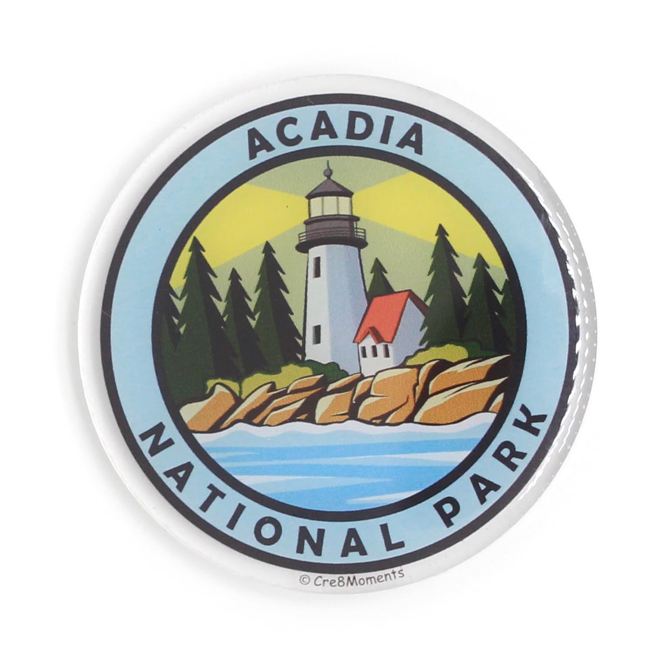 Acadia National Park
NFC Magnet
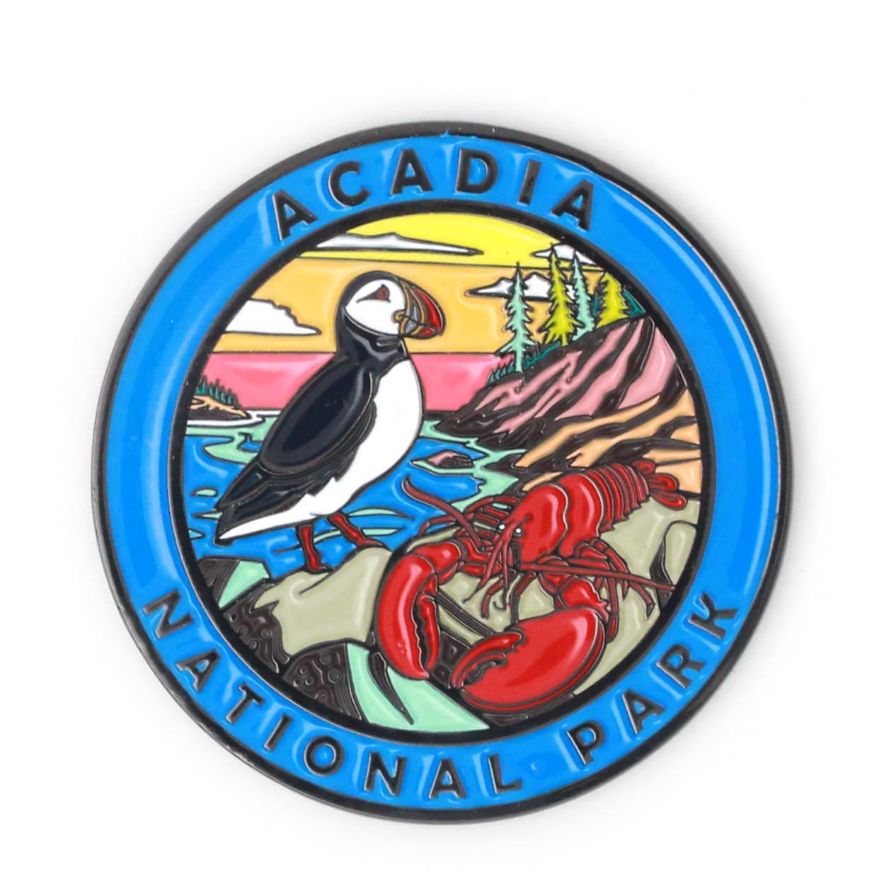 Acadia National Park
Magnet
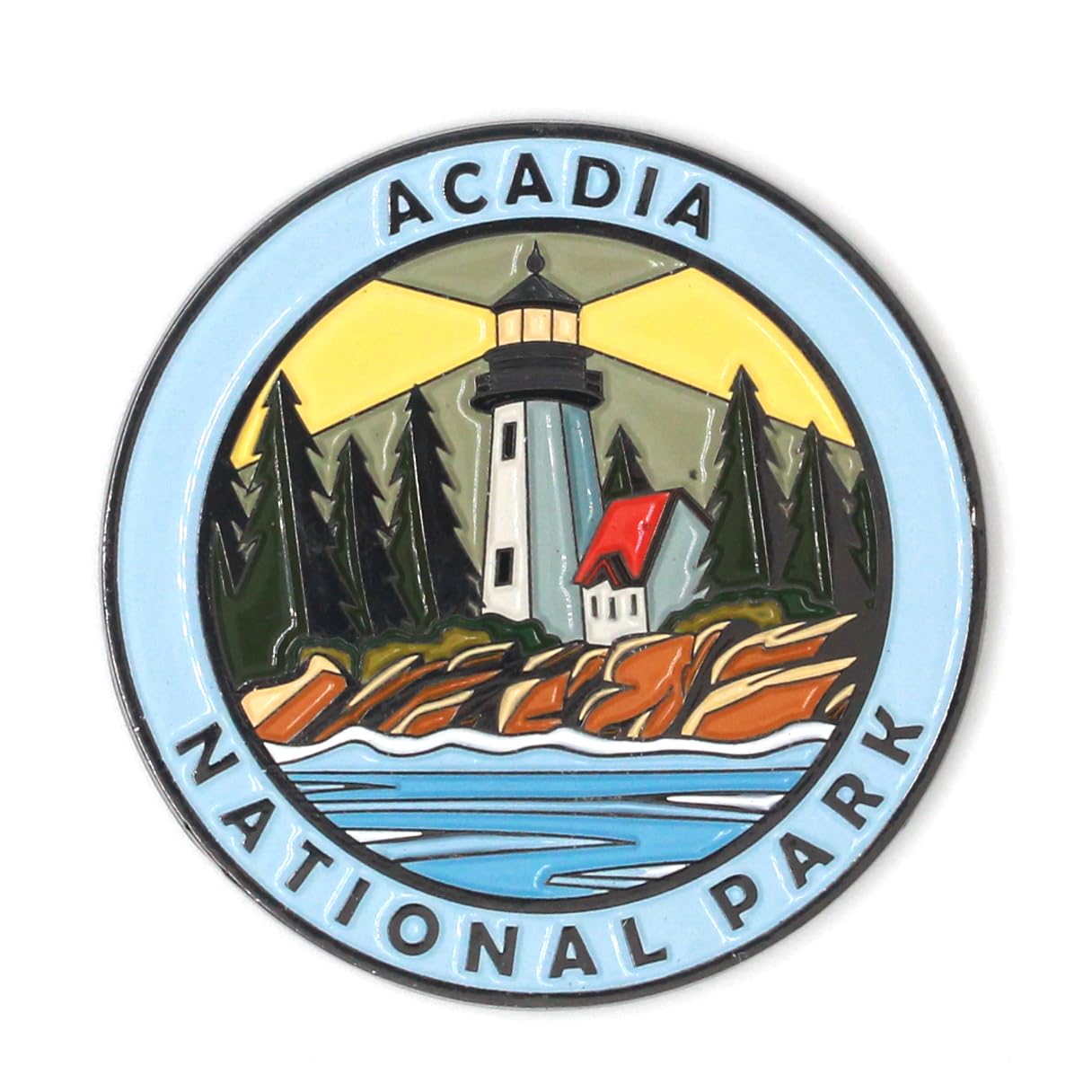 Acadia National Park
Magnet
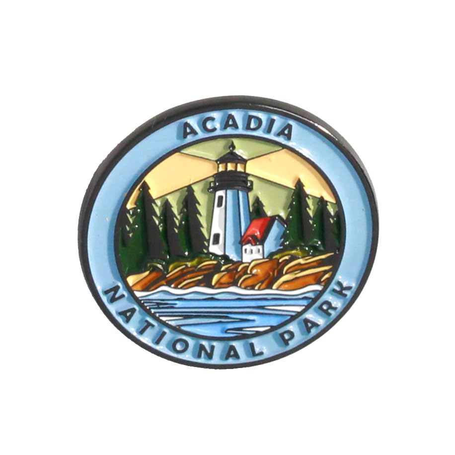 Acadia National Park
Pin
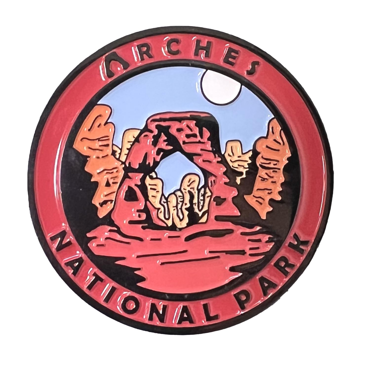 Arches National Park
Magnet
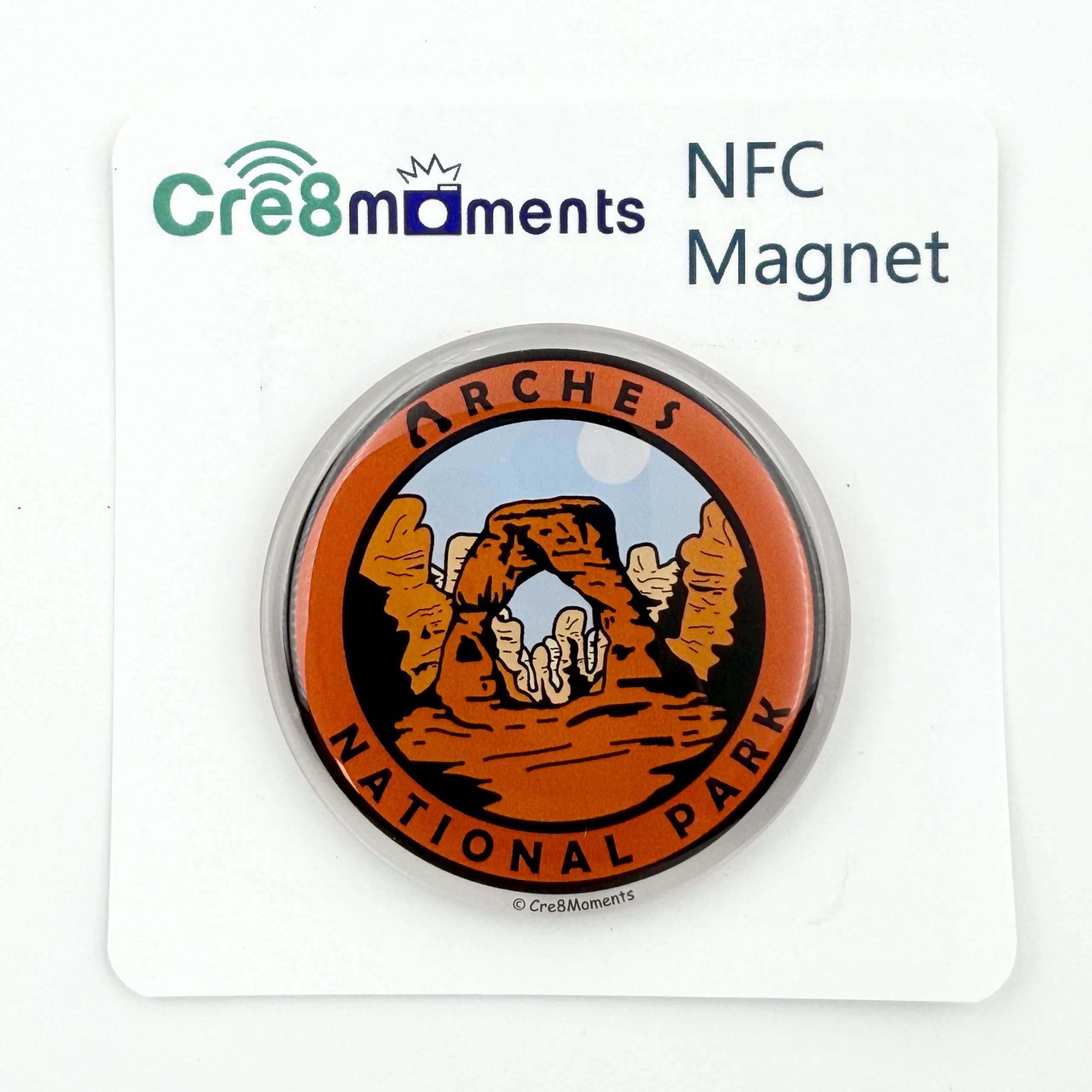 Arches National Park
NFC Magnet
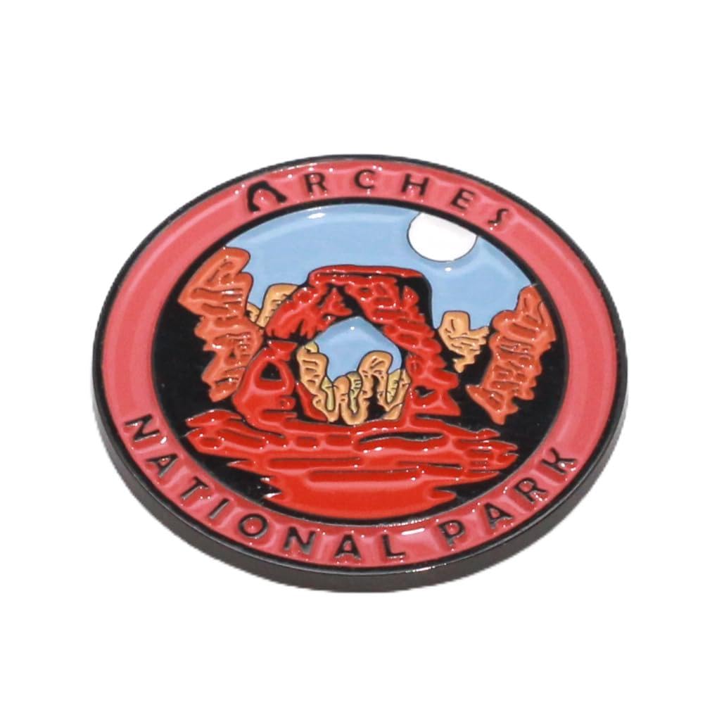 Arches National Park
Pin
 Badlands National Park
Magnet
 Big Bend National Park
NFC Magnet
 Big Bend National Park
Magnet
 Biscayne National Park
Magnet
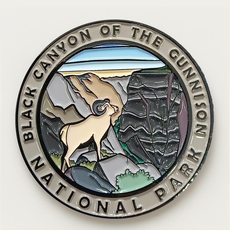 Black Canyon of the Gunnison National Park
Magnet
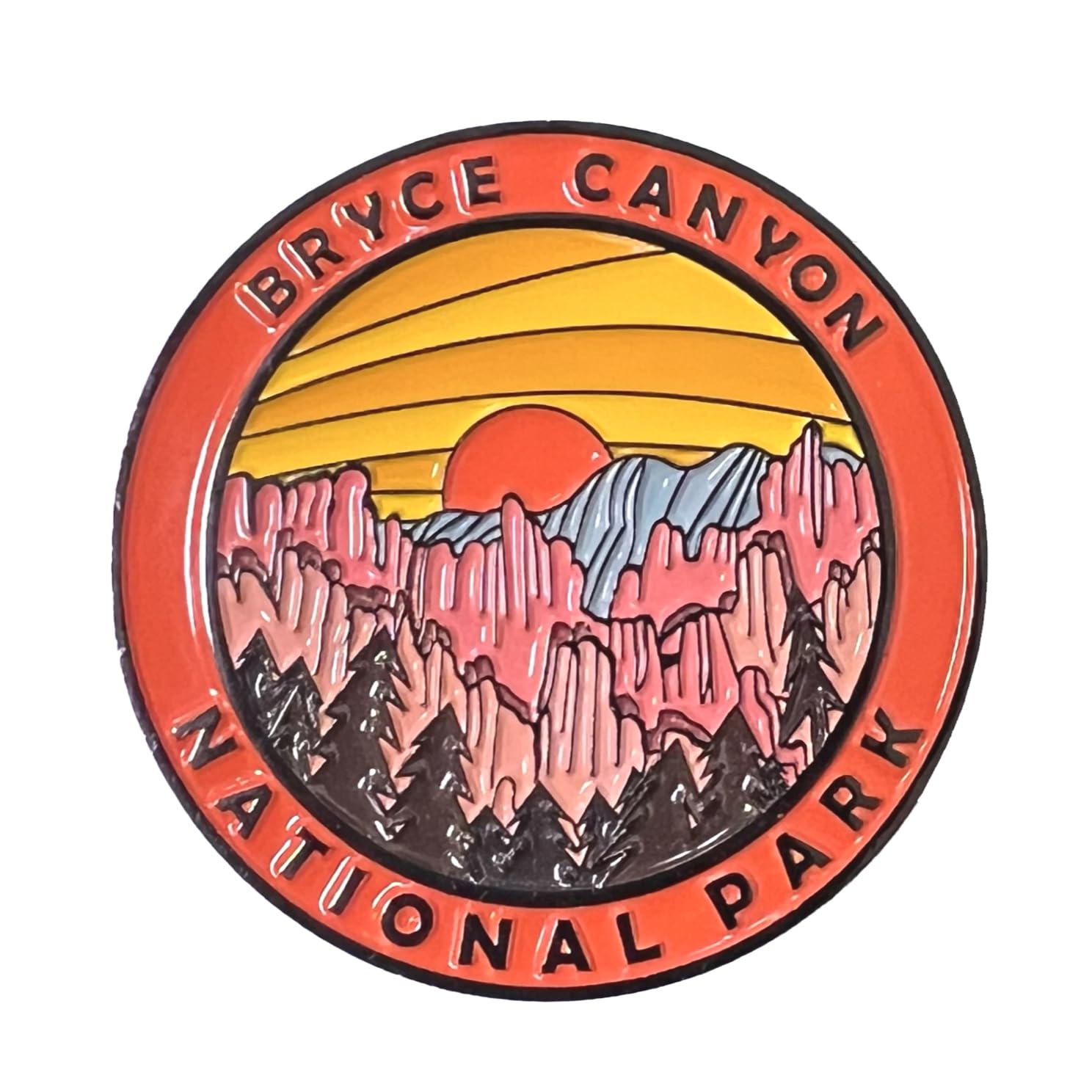 Bryce Canyon National Park
Magnet
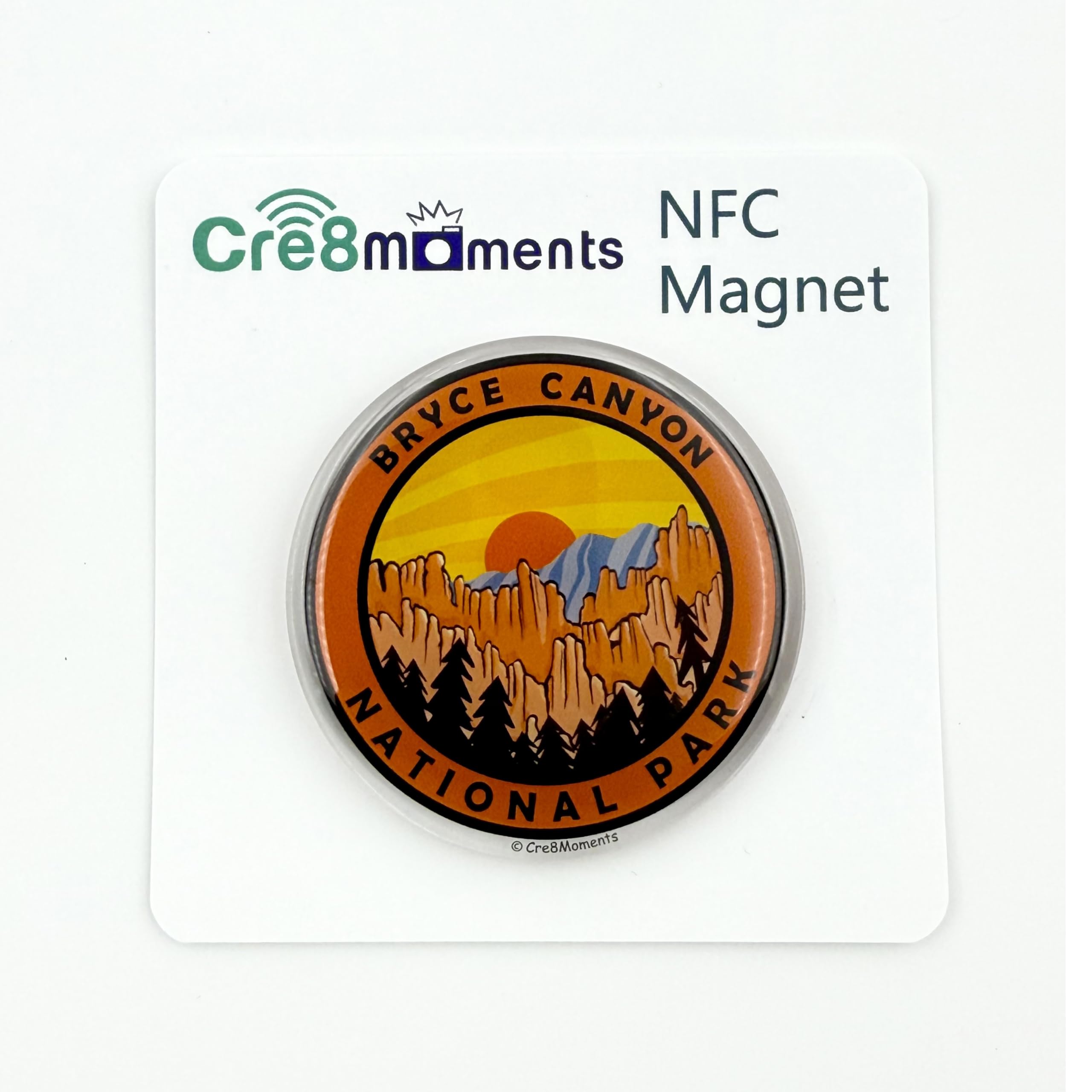 Bryce Canyon National Park
NFC Magnet
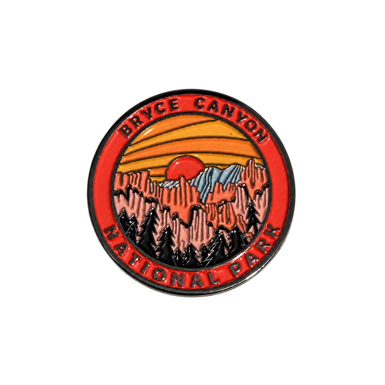 Bryce Canyon National Park
Pin
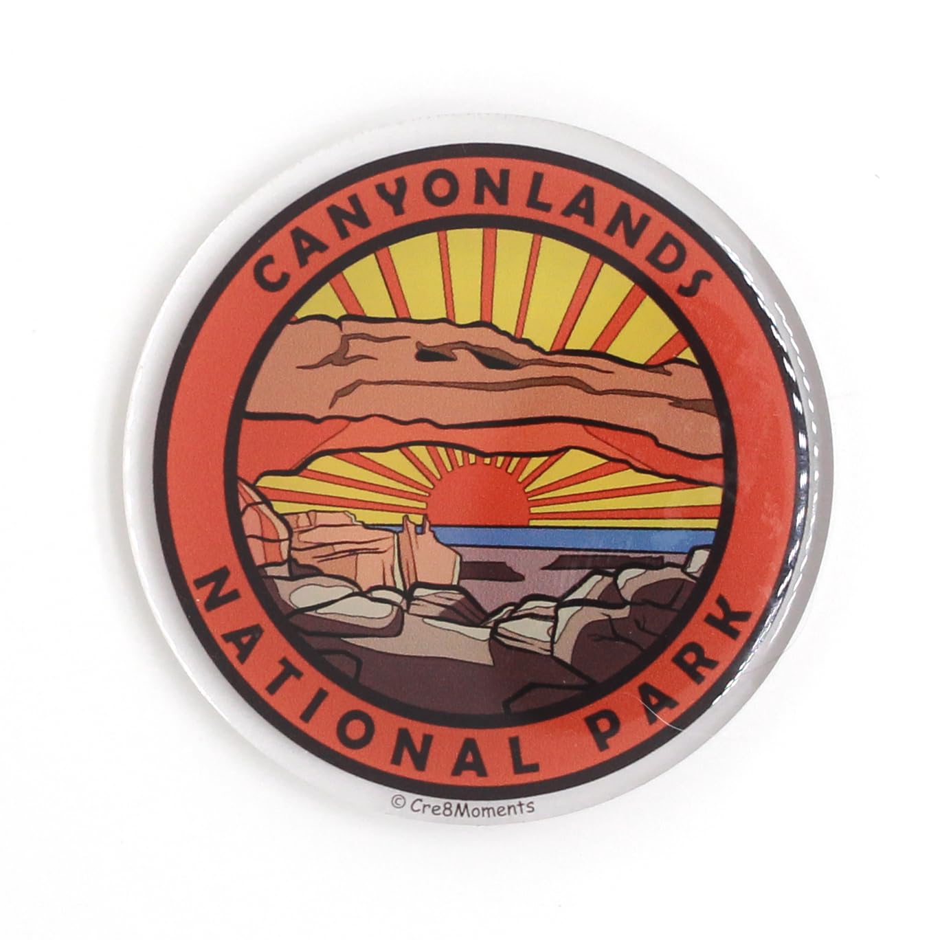 Canyonlands National Park
NFC Magnet
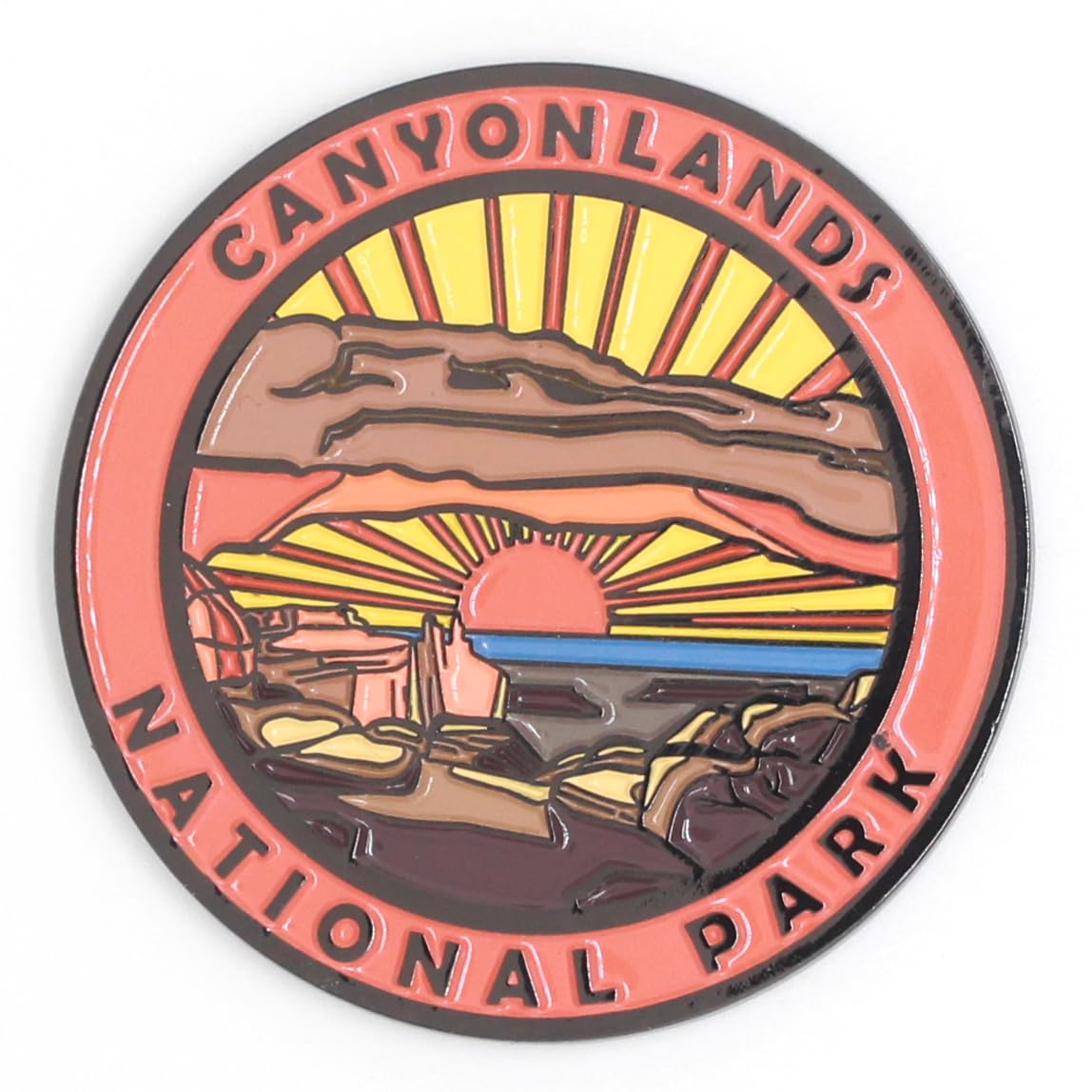 Canyonlands National Park
Magnet
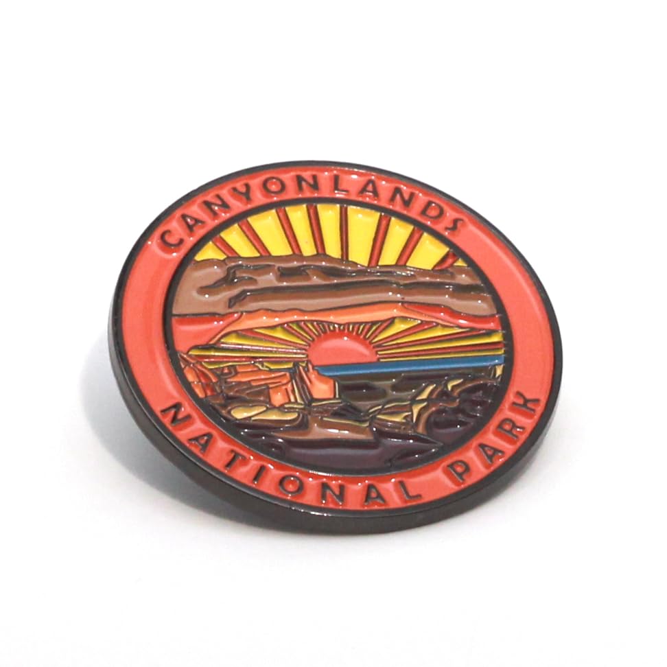 Canyonlands National Park
Pin
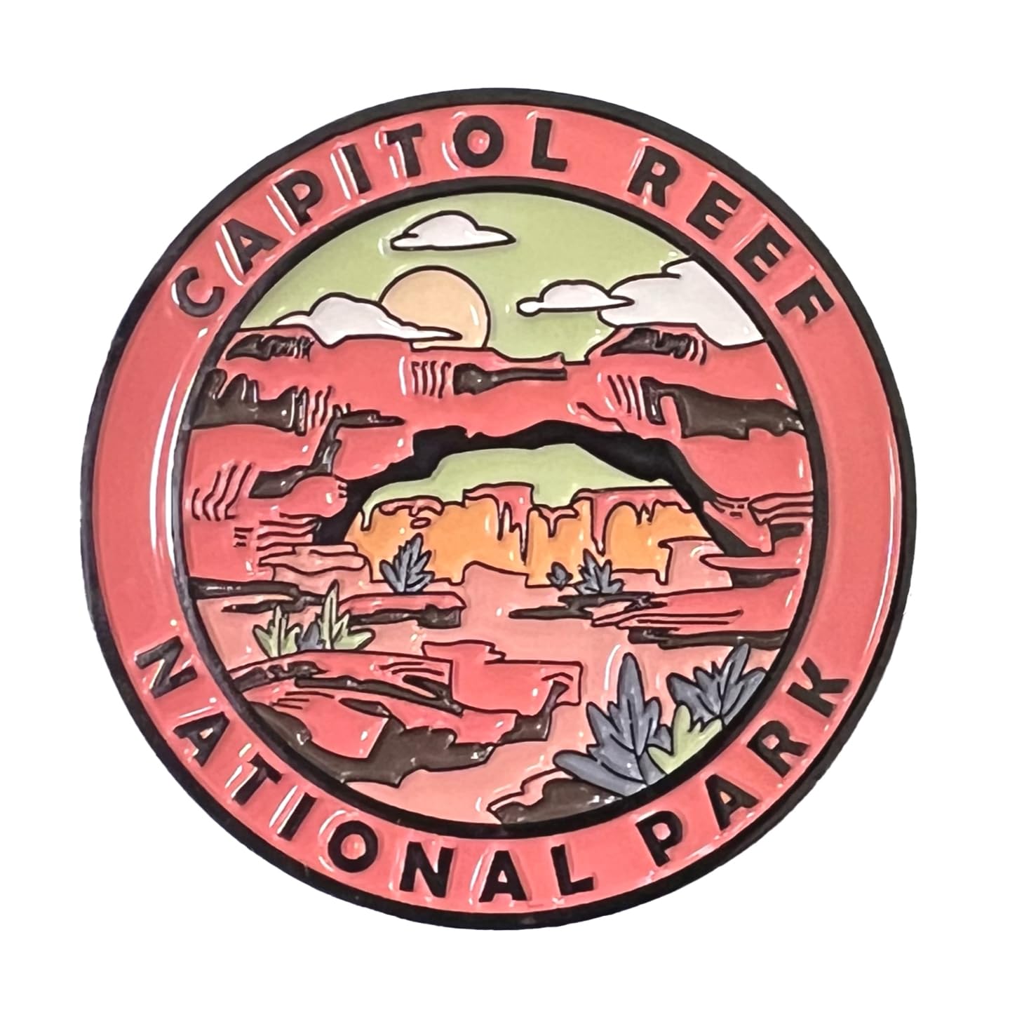 Capitol Reef National Park
Magnet
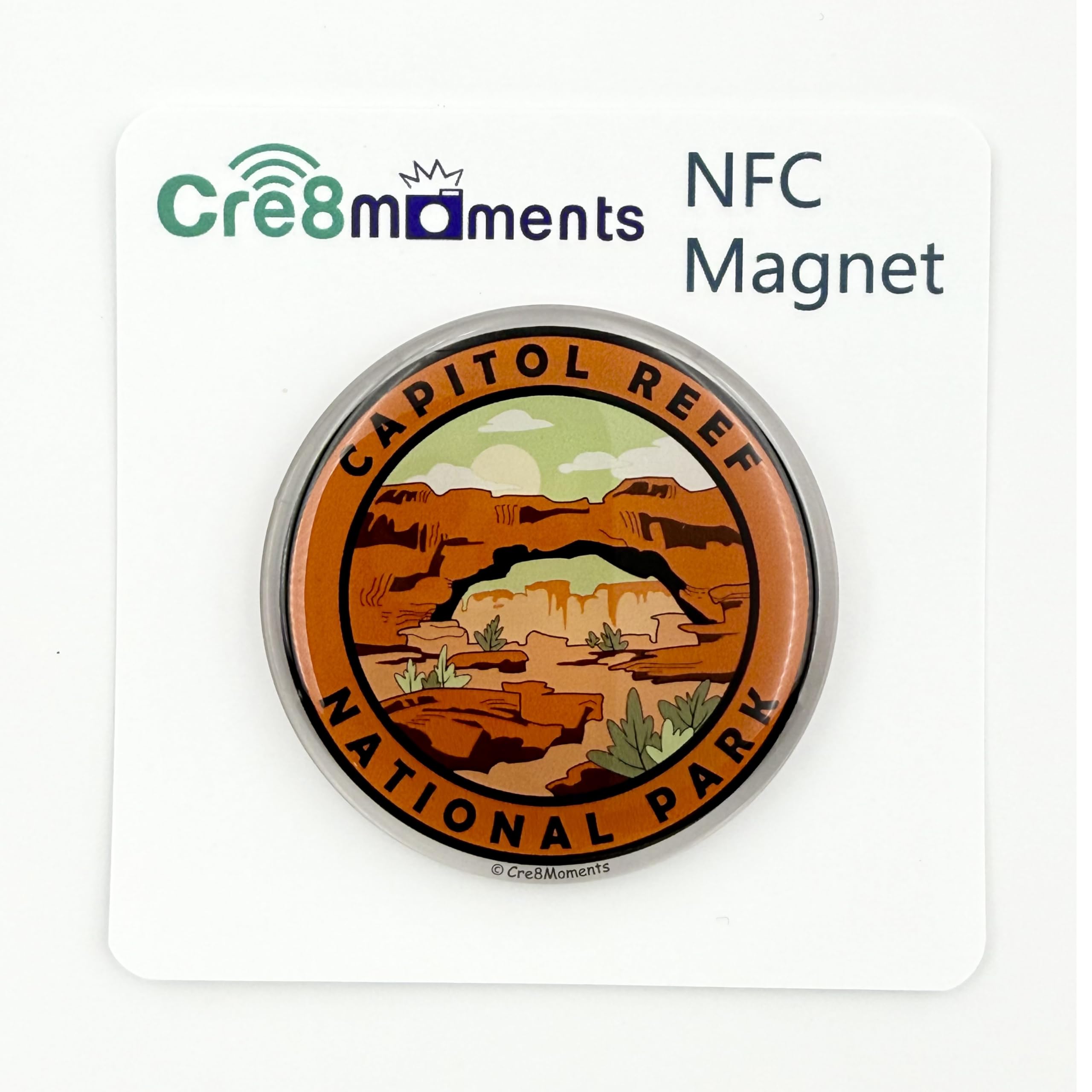 Capitol Reef National Park
NFC Magnet
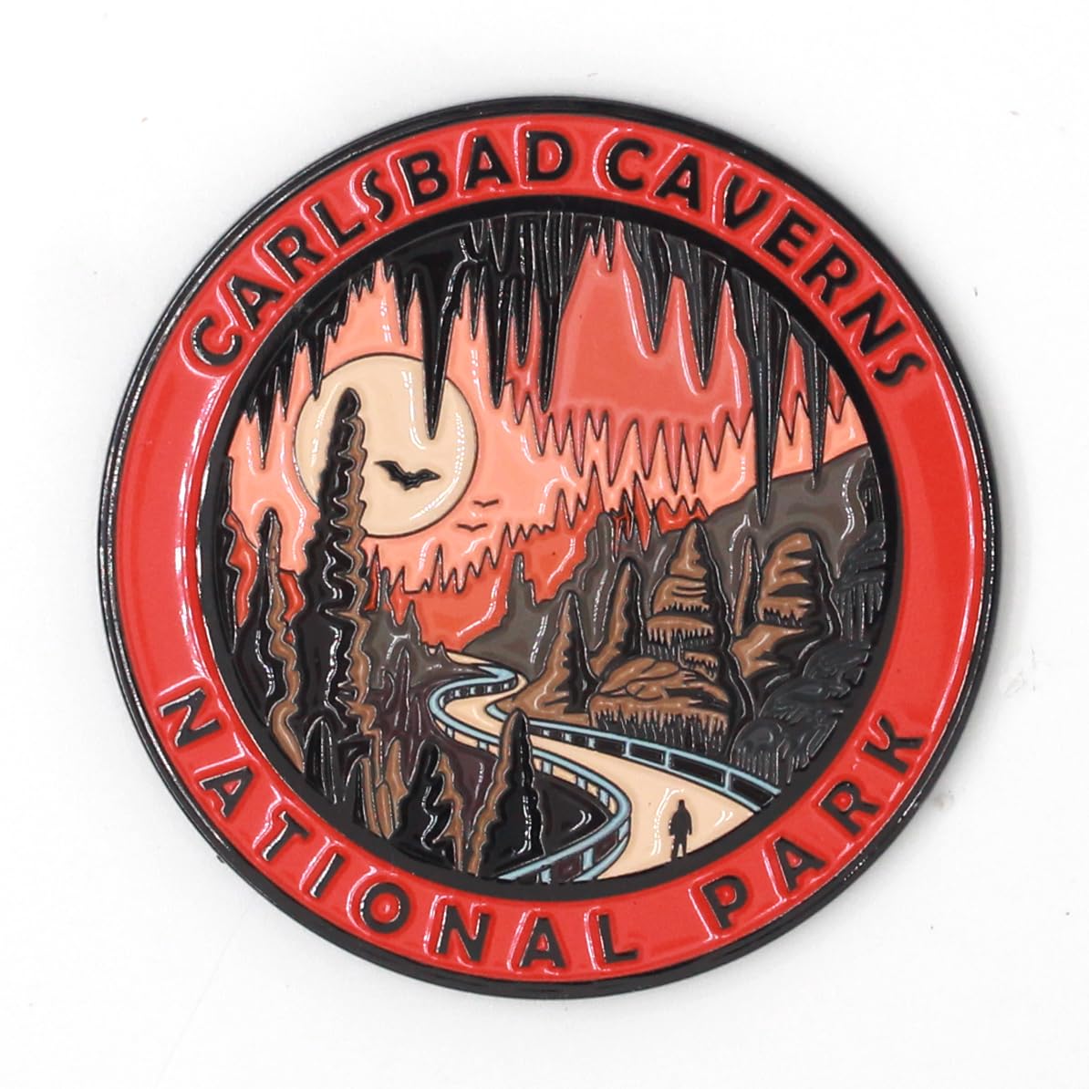 Carlsbad Caverns National Park
Magnet
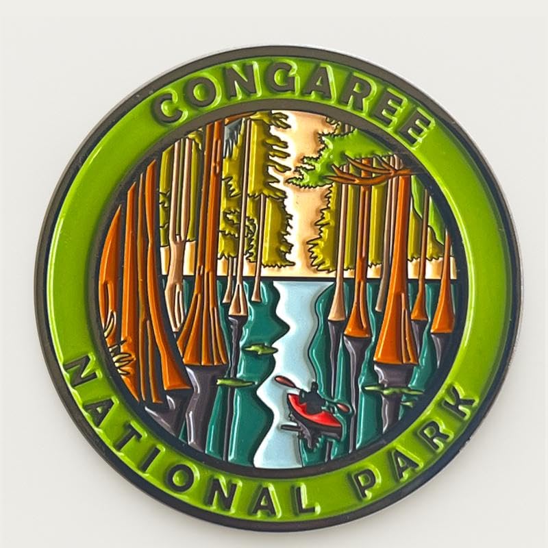 Congaree National Park
Magnet
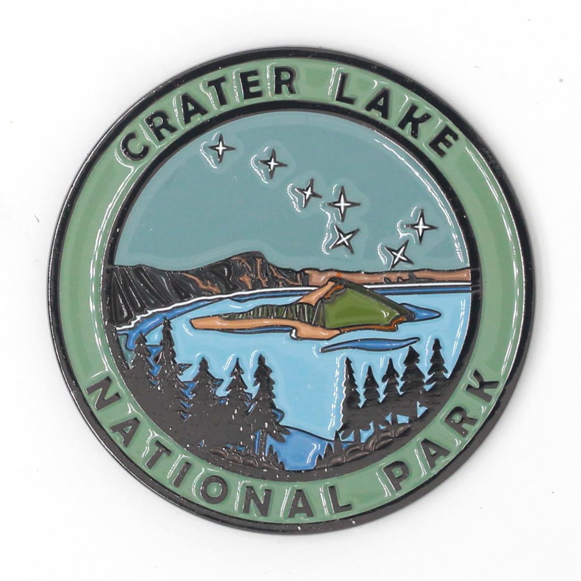 Crater Lake National Park
Magnet
 Cuyahoga Valley National Park
Magnet
 Death Valley National Park
Magnet
 Death Valley National Park
NFC Magnet
 Death Valley National Park
Pin
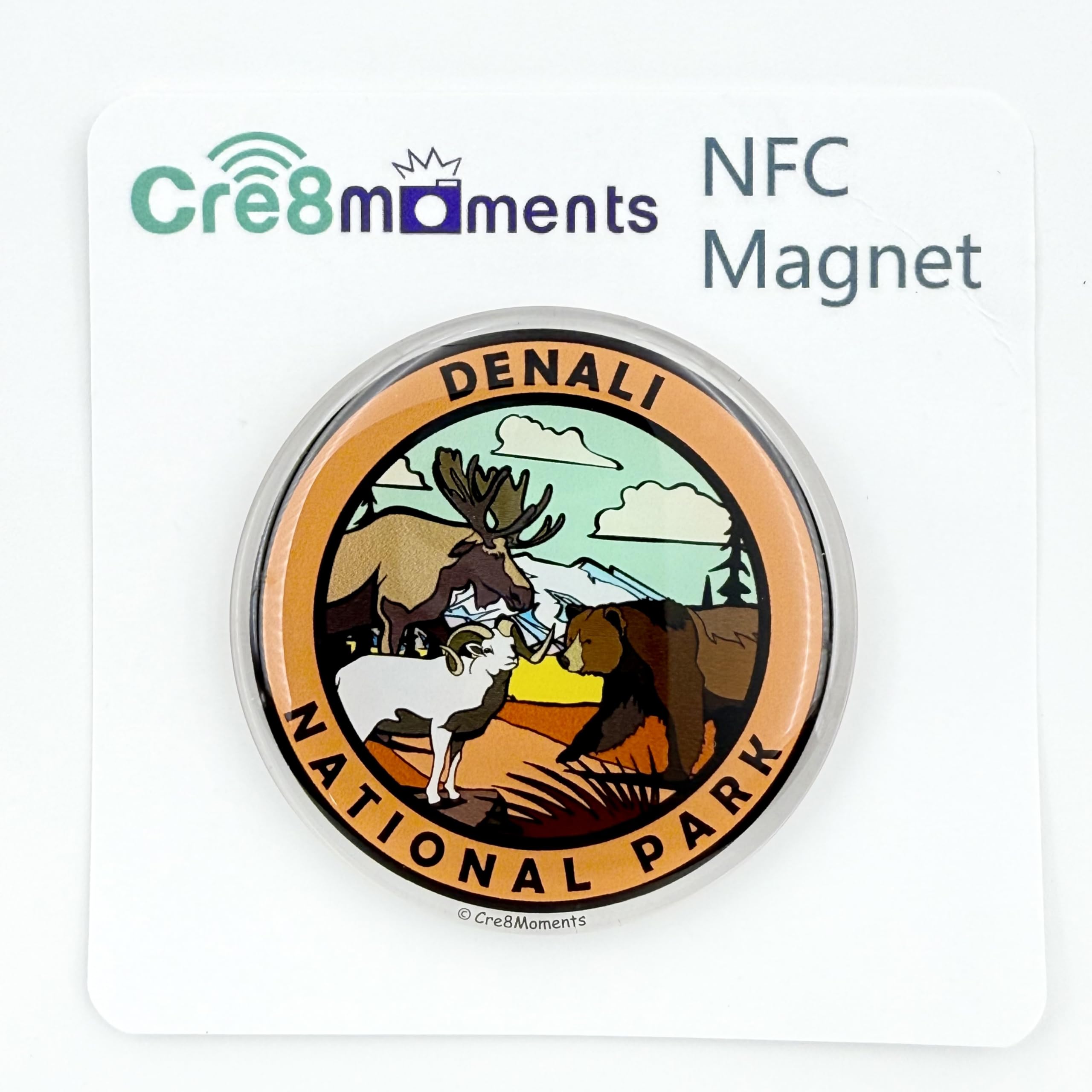 Denali National Park
NFC Magnet
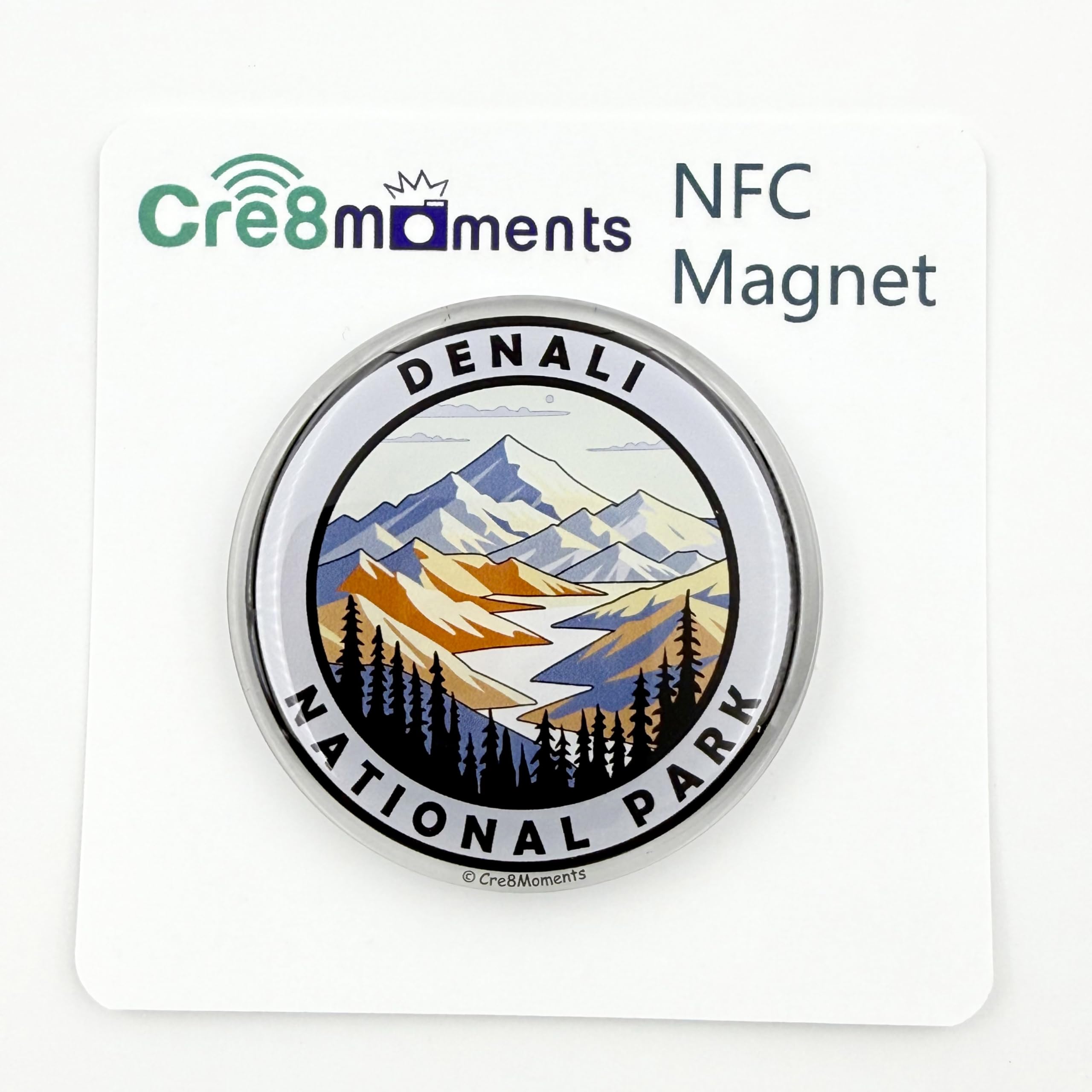 Denali National Park
NFC Magnet
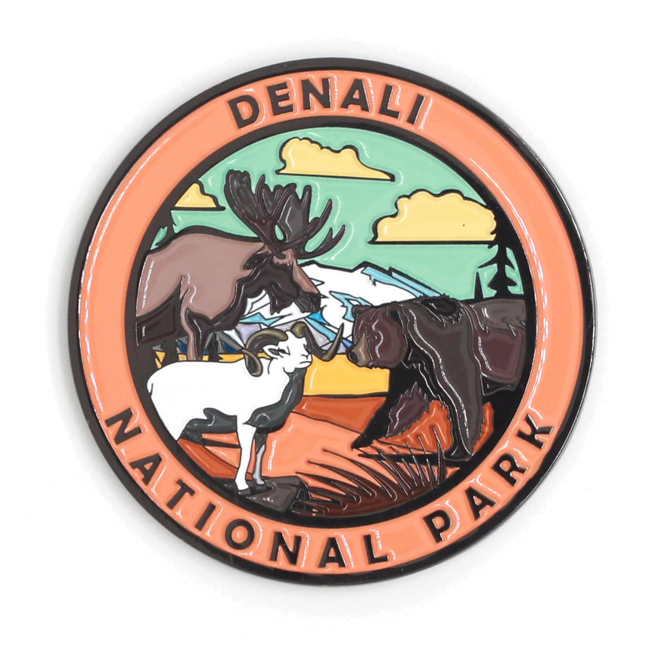 Denali National Park
Magnet
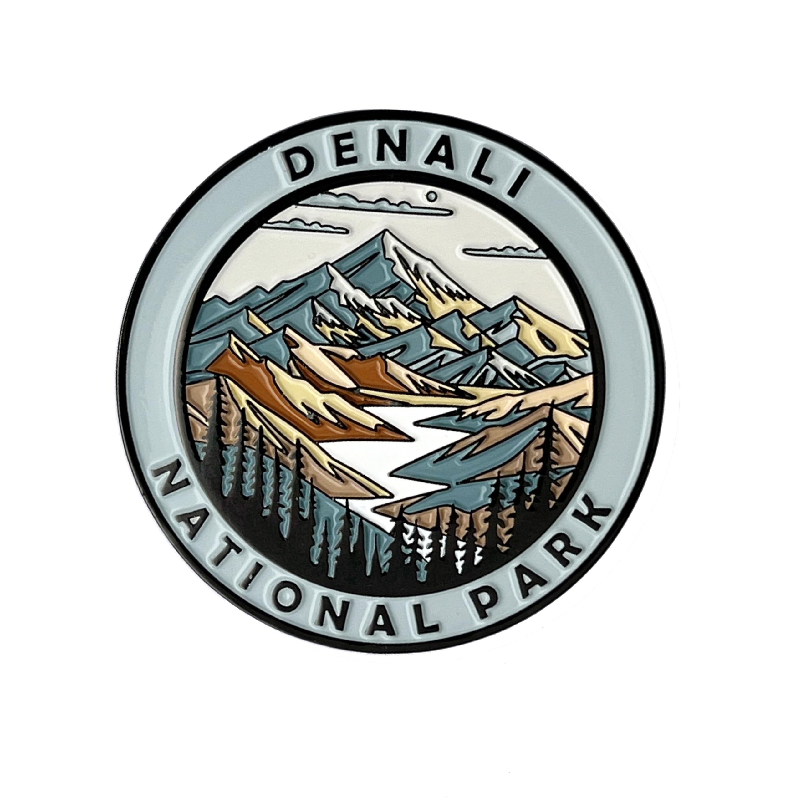 Denali National Park
Magnet
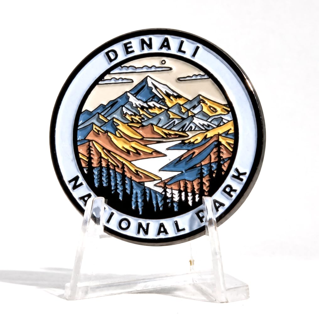 Denali National Park
Pin
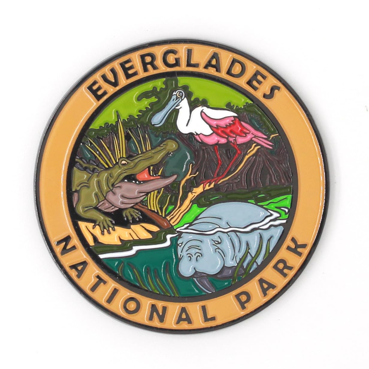 Everglades National Park
Magnet
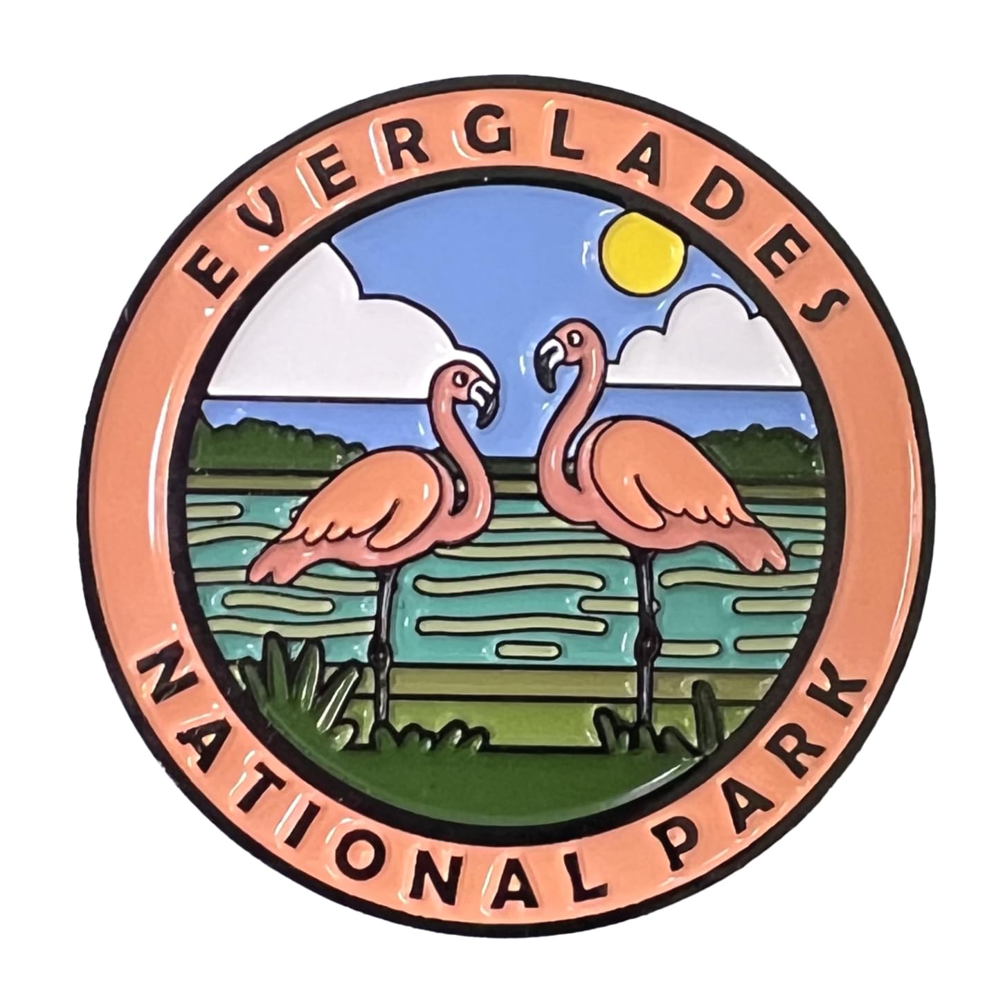 Everglades National Park
Magnet
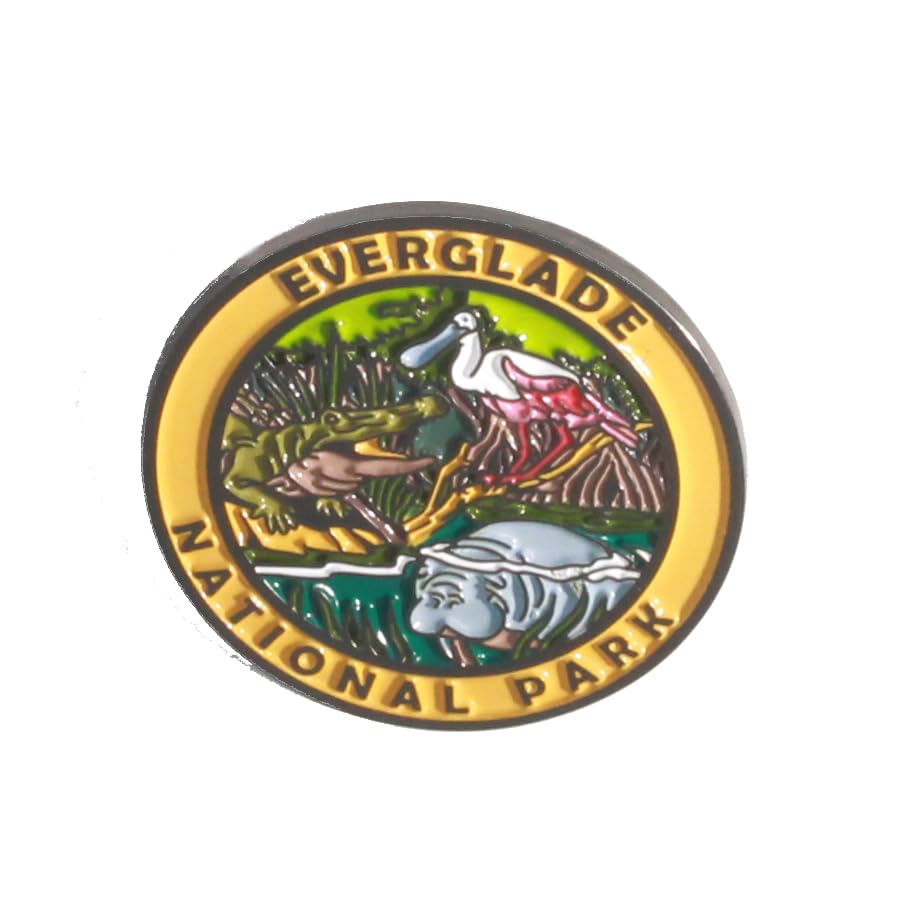 Everglades National Park
Pin
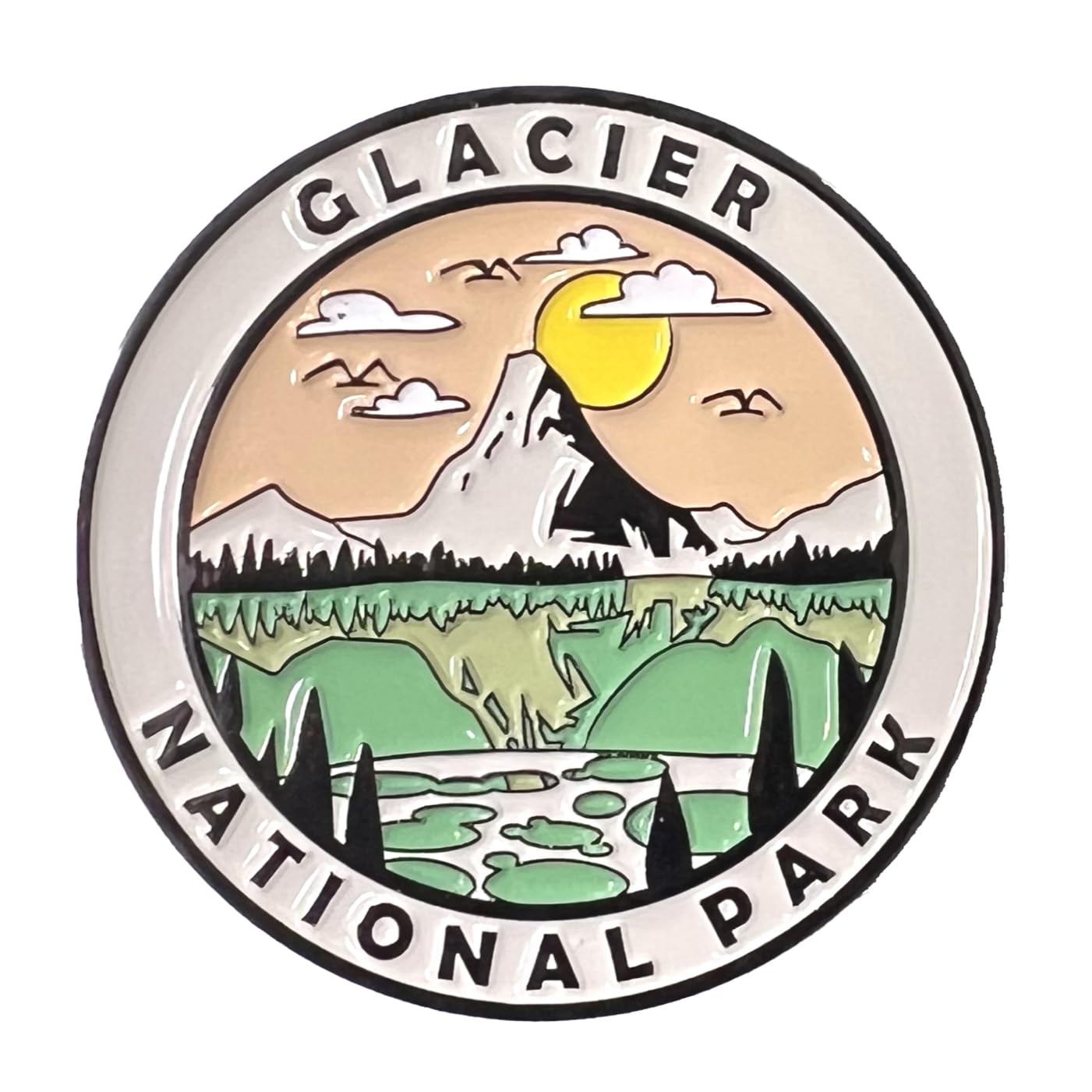 Glacier National Park
Magnet
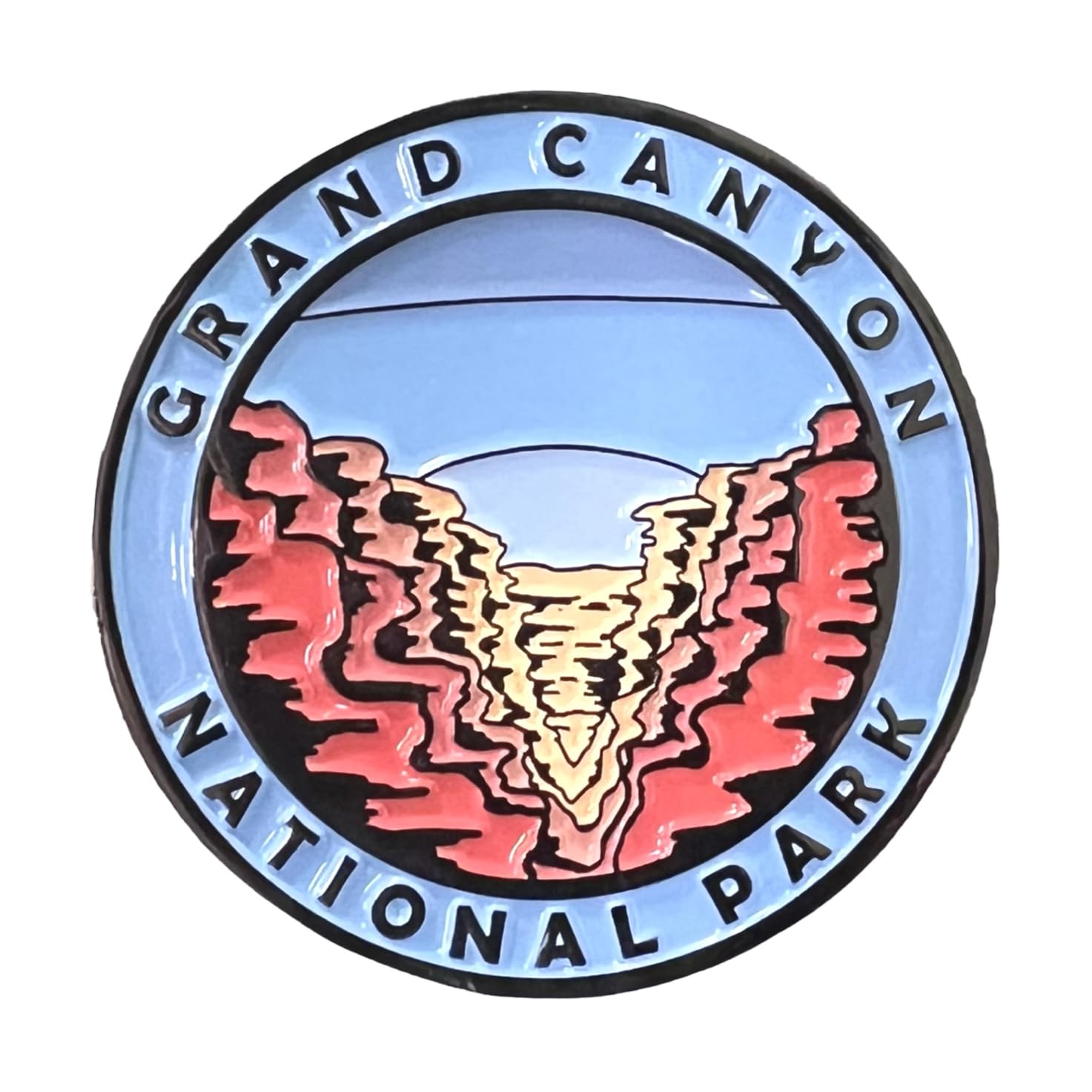 Grand Canyon National Park
Magnet
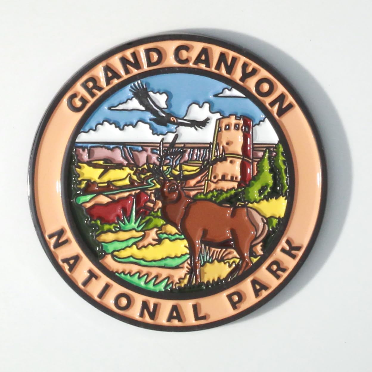 Grand Canyon National Park
Magnet
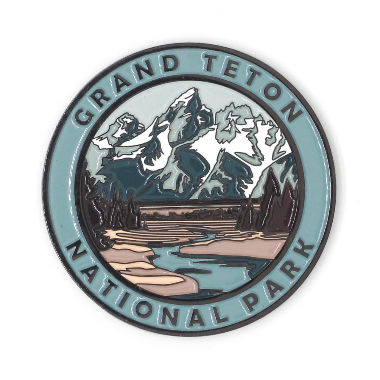 Grand Teton National Park
Magnet
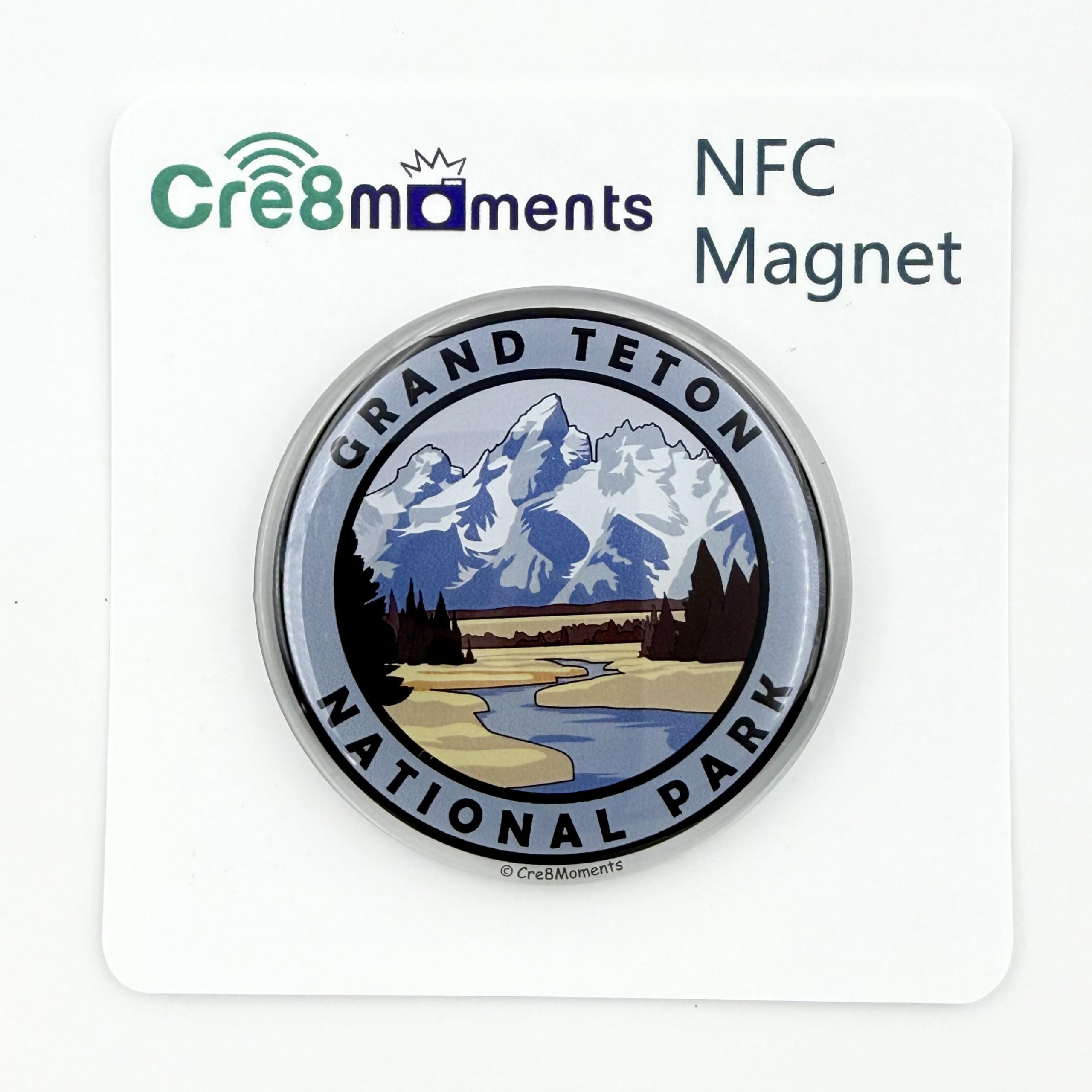 Grand Teton National Park
NFC Magnet
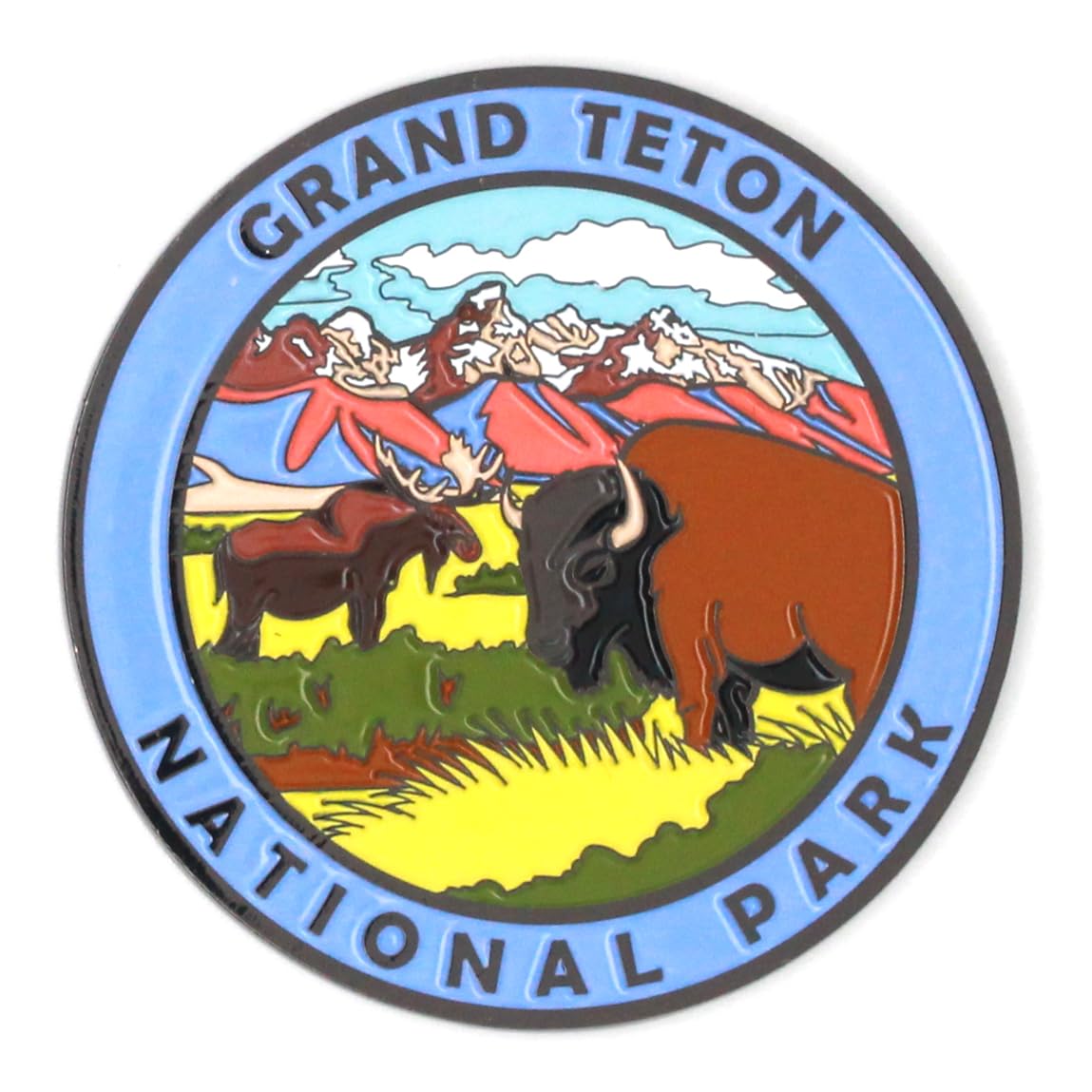 Grand Teton National Park
Magnet
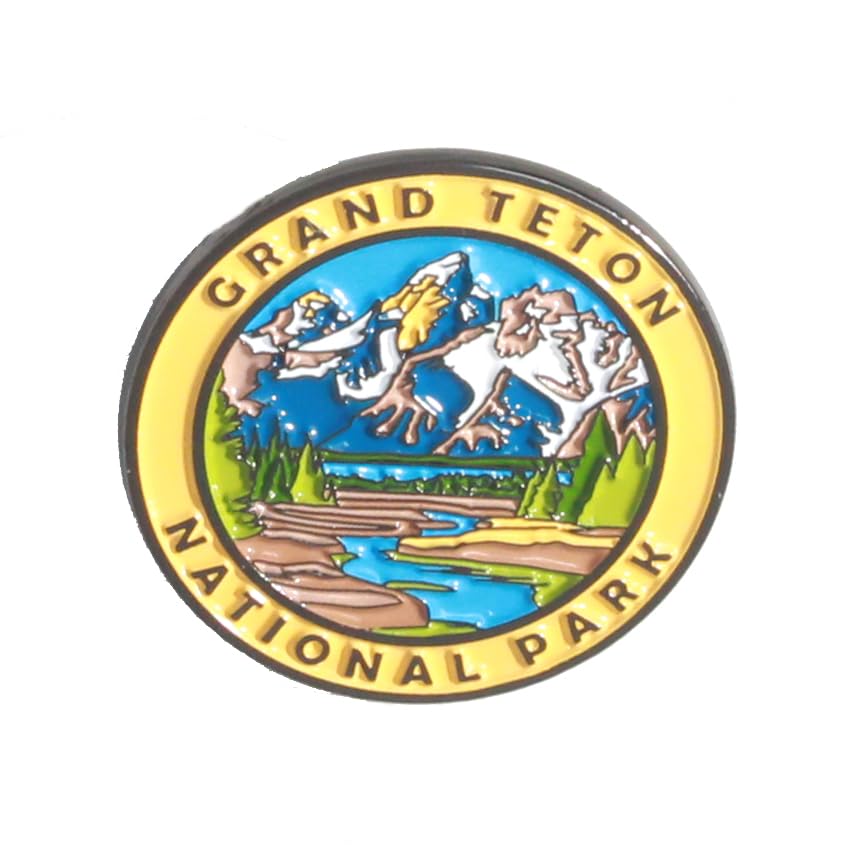 Grand Teton National Park
Pin
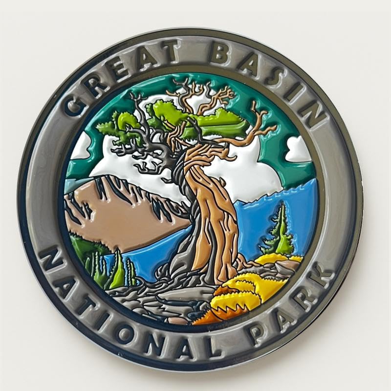 Great Basin National Park
Magnet
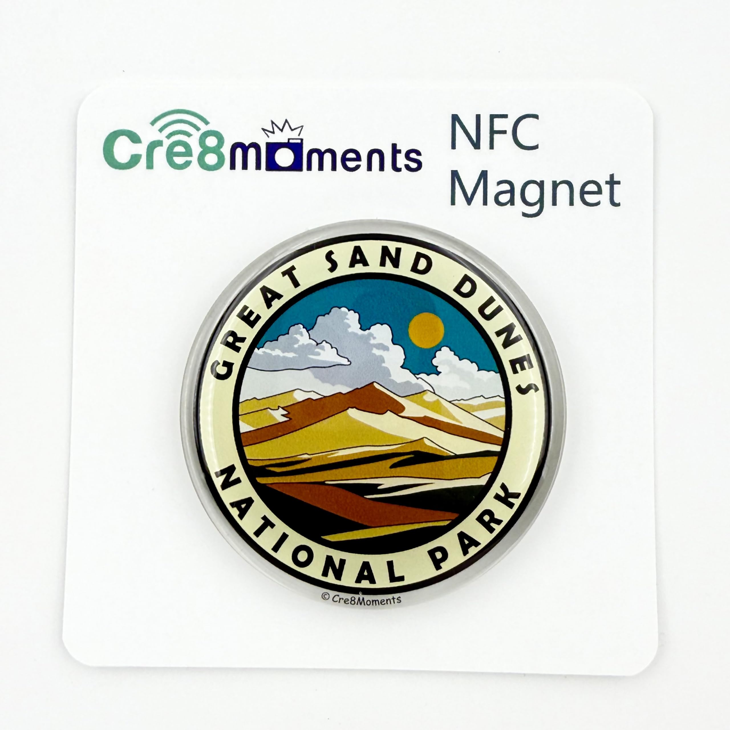 Great Sand Dunes National Park
NFC Magnet
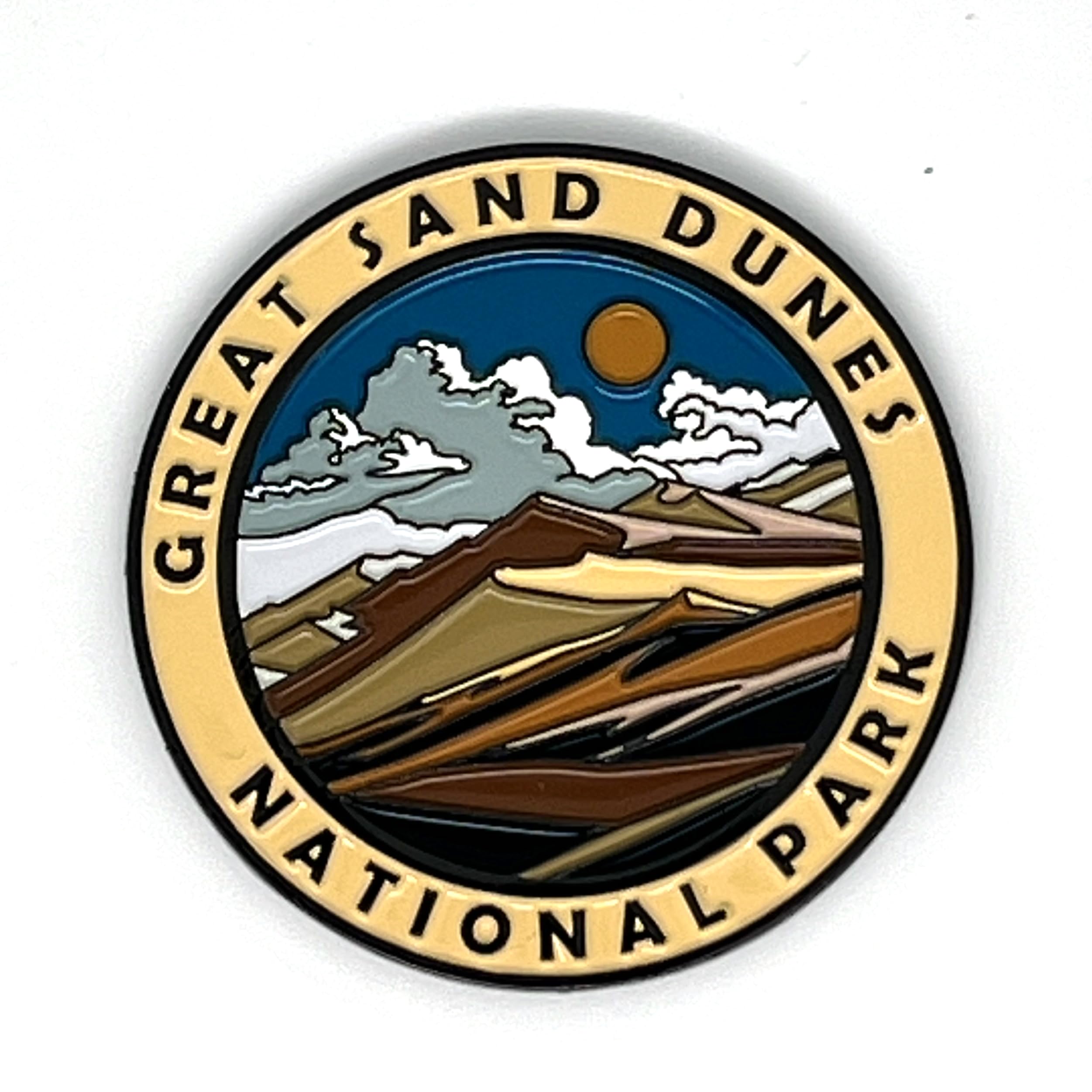 Great Sand Dunes National Park
Magnet
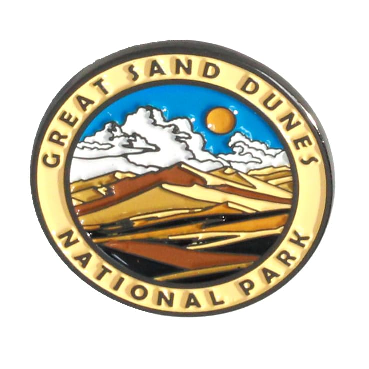 Great Sand Dunes National Park
Pin
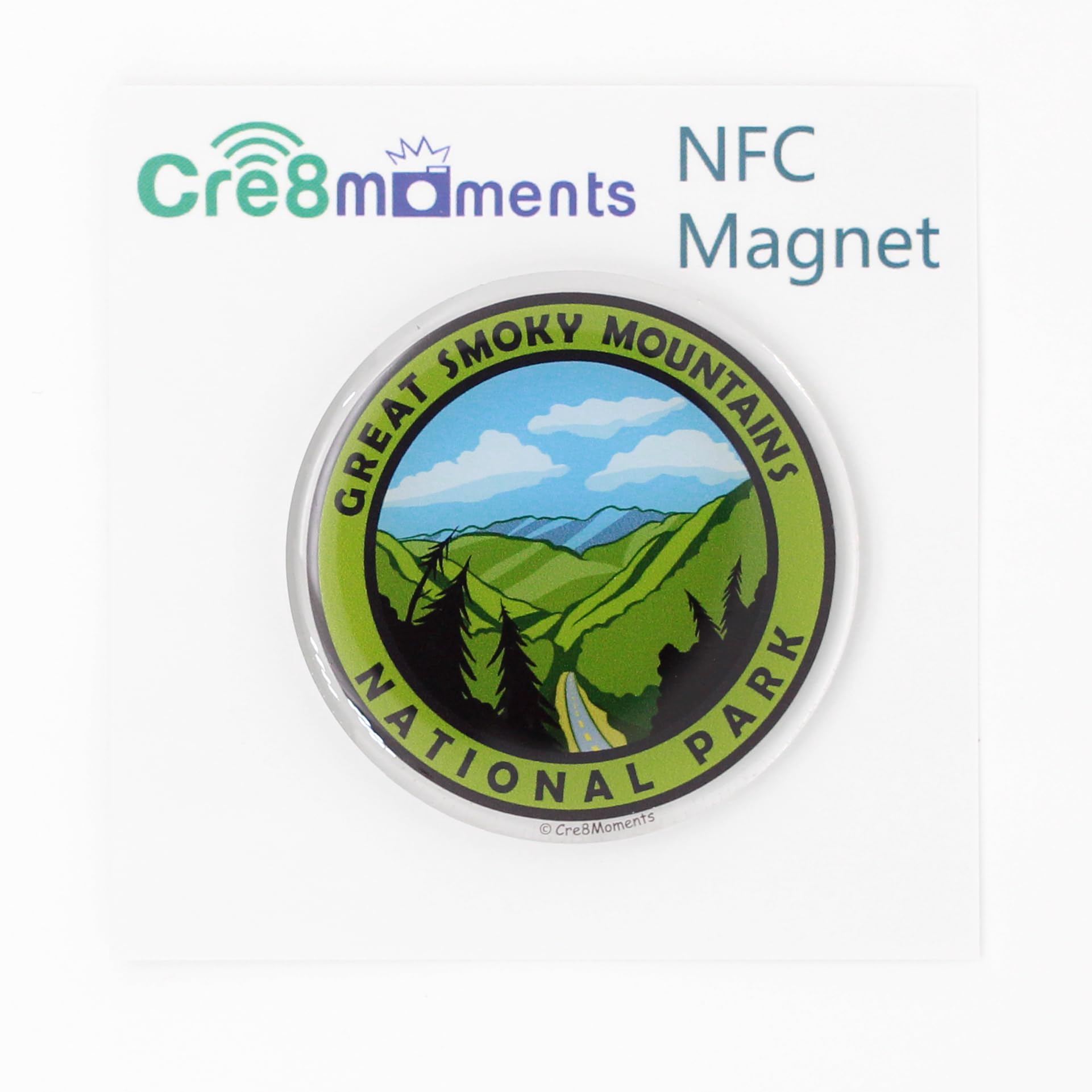 Great Smoky Mountains National Park
NFC Magnet
 Great Smoky Mountains National Park
Magnet
 Great Smoky Mountains National Park
Pin
 Guadalupe Mountains National Park
Magnet
 Hawaii Volcanoes National Park
Magnet
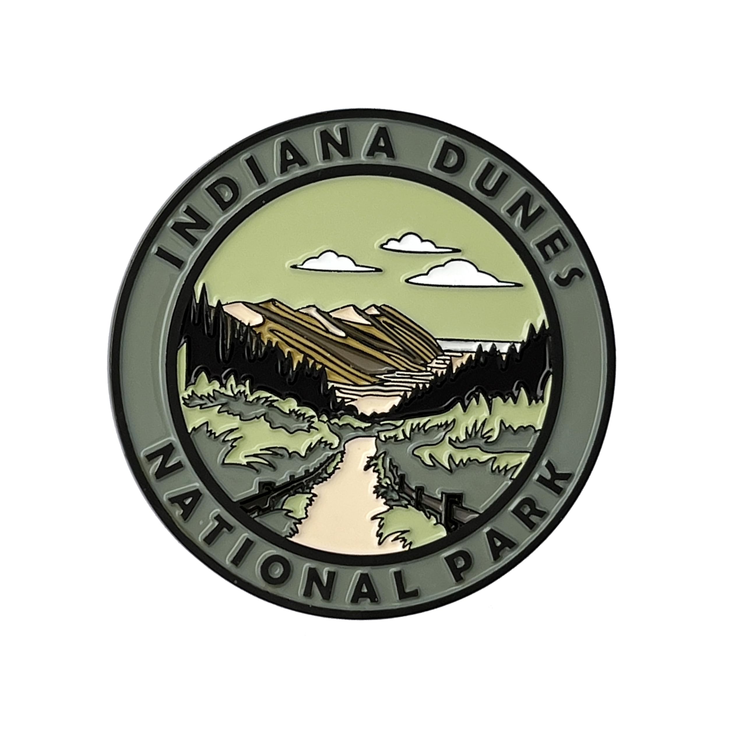 Indiana Dunes National Park
Magnet
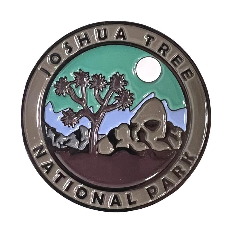 Joshua Tree National Park
Magnet
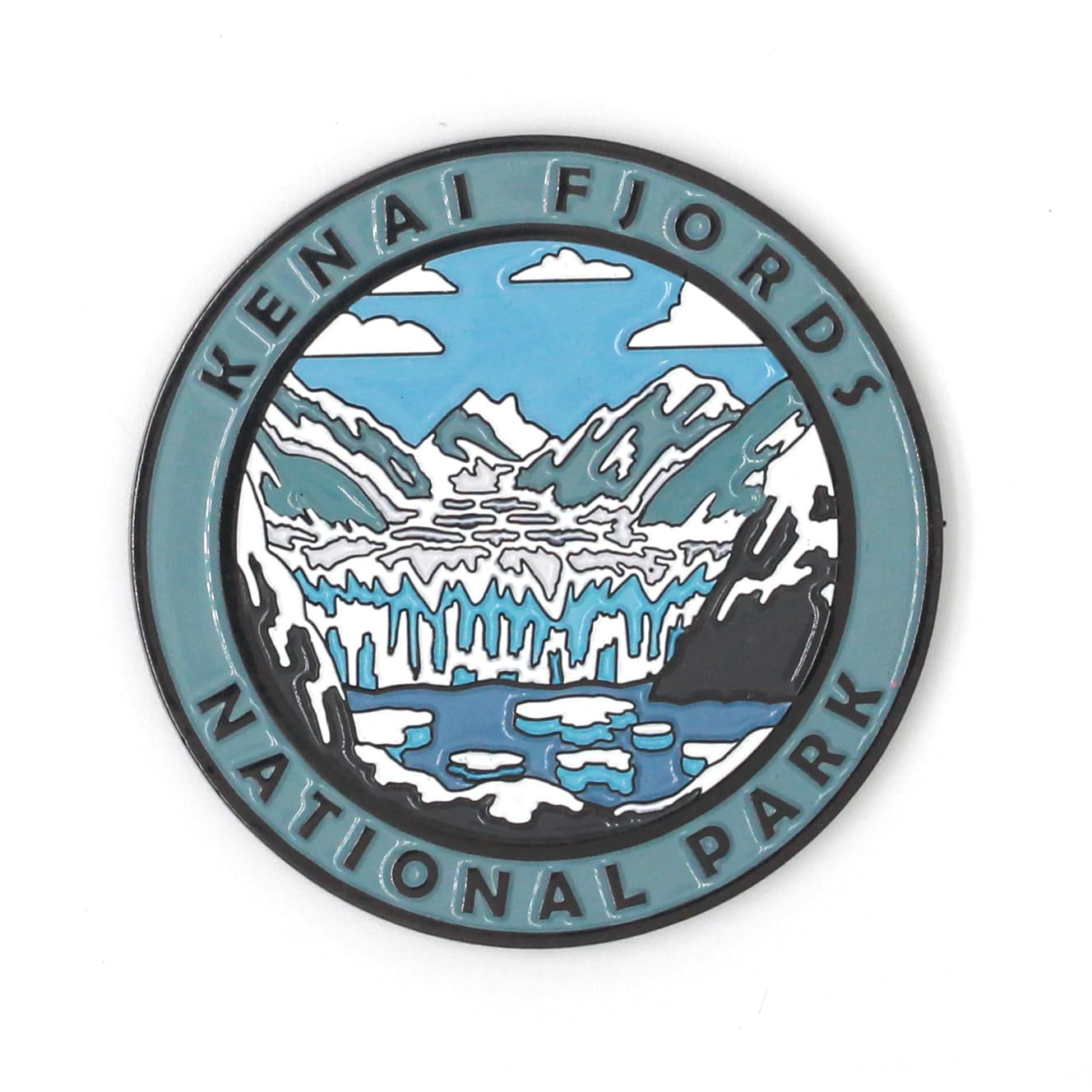 Kenai Fjords National Park
Magnet
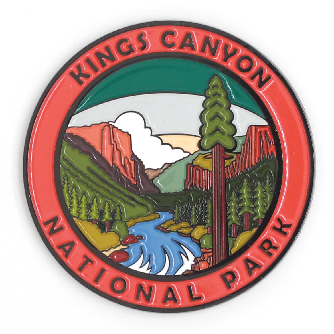 Kings Canyon National Park
Magnet
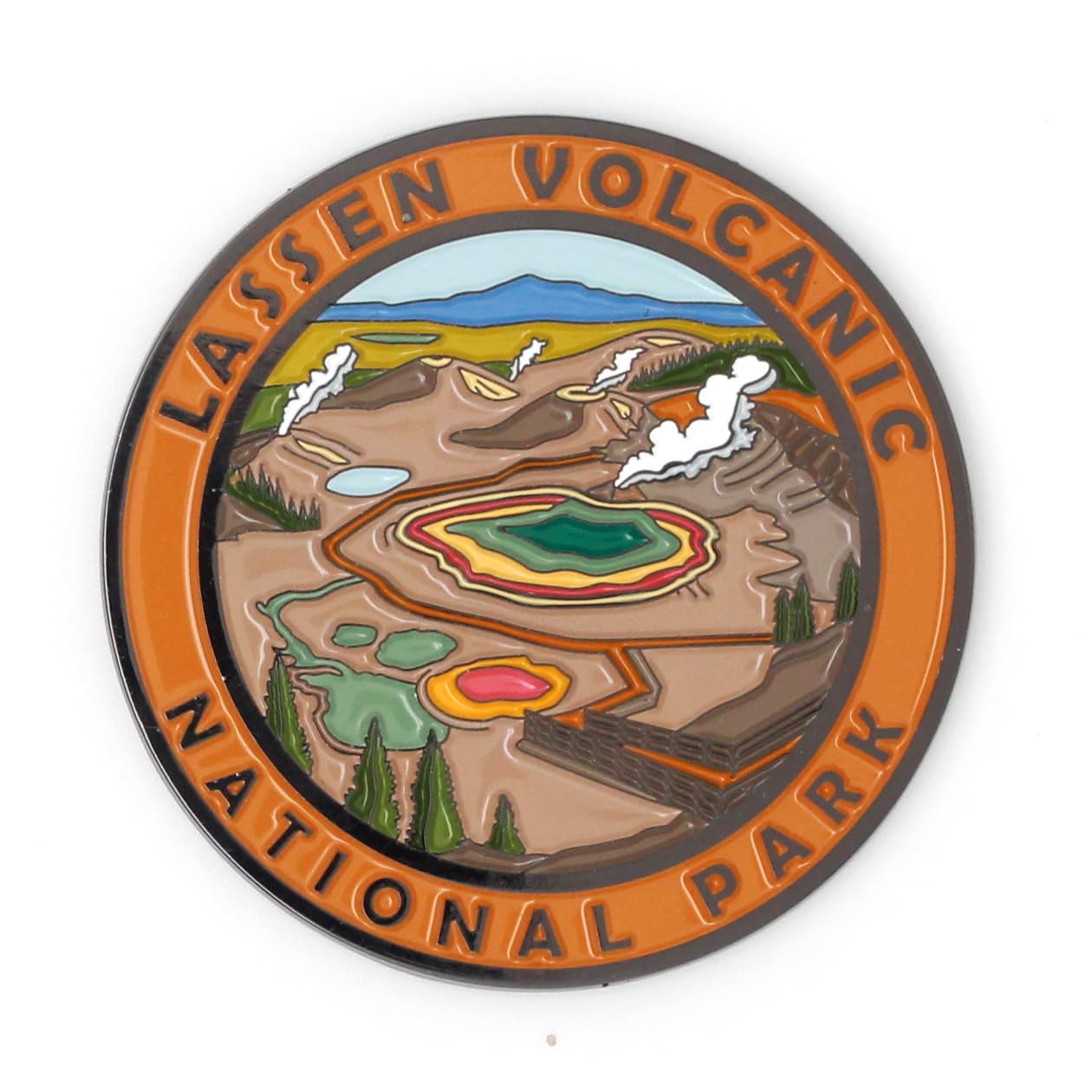 Lassen Volcanic National Park
Magnet
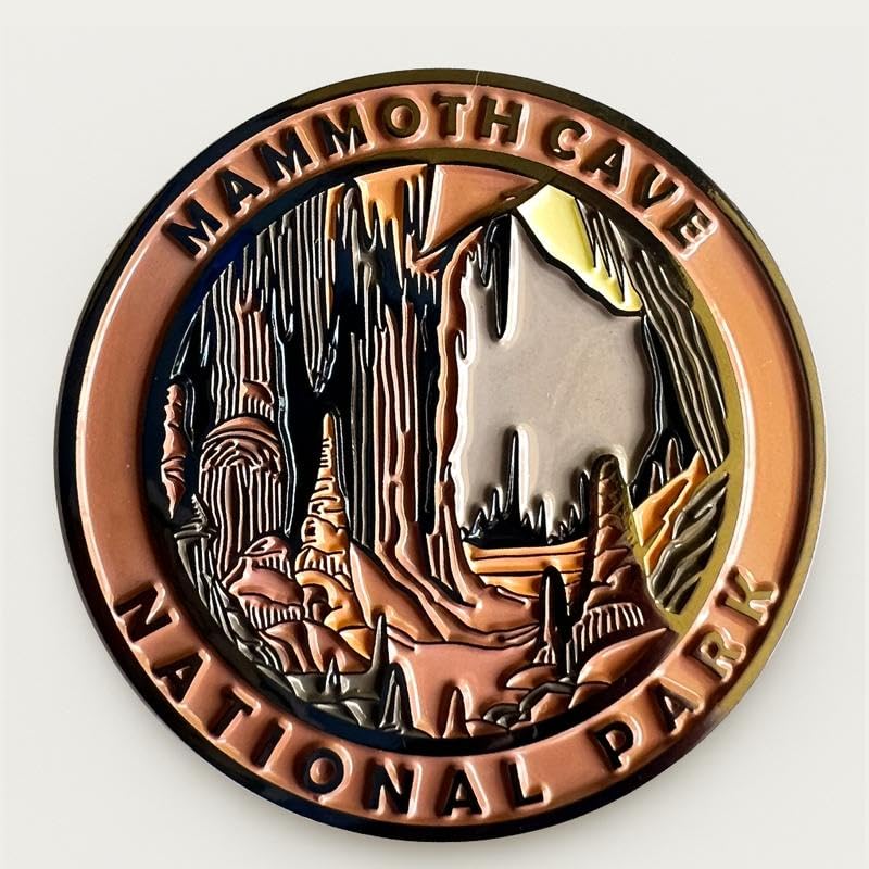 Mammoth Cave National Park
Magnet
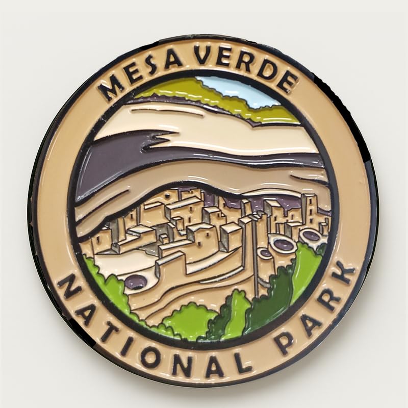 Mesa Verde National Park
Magnet
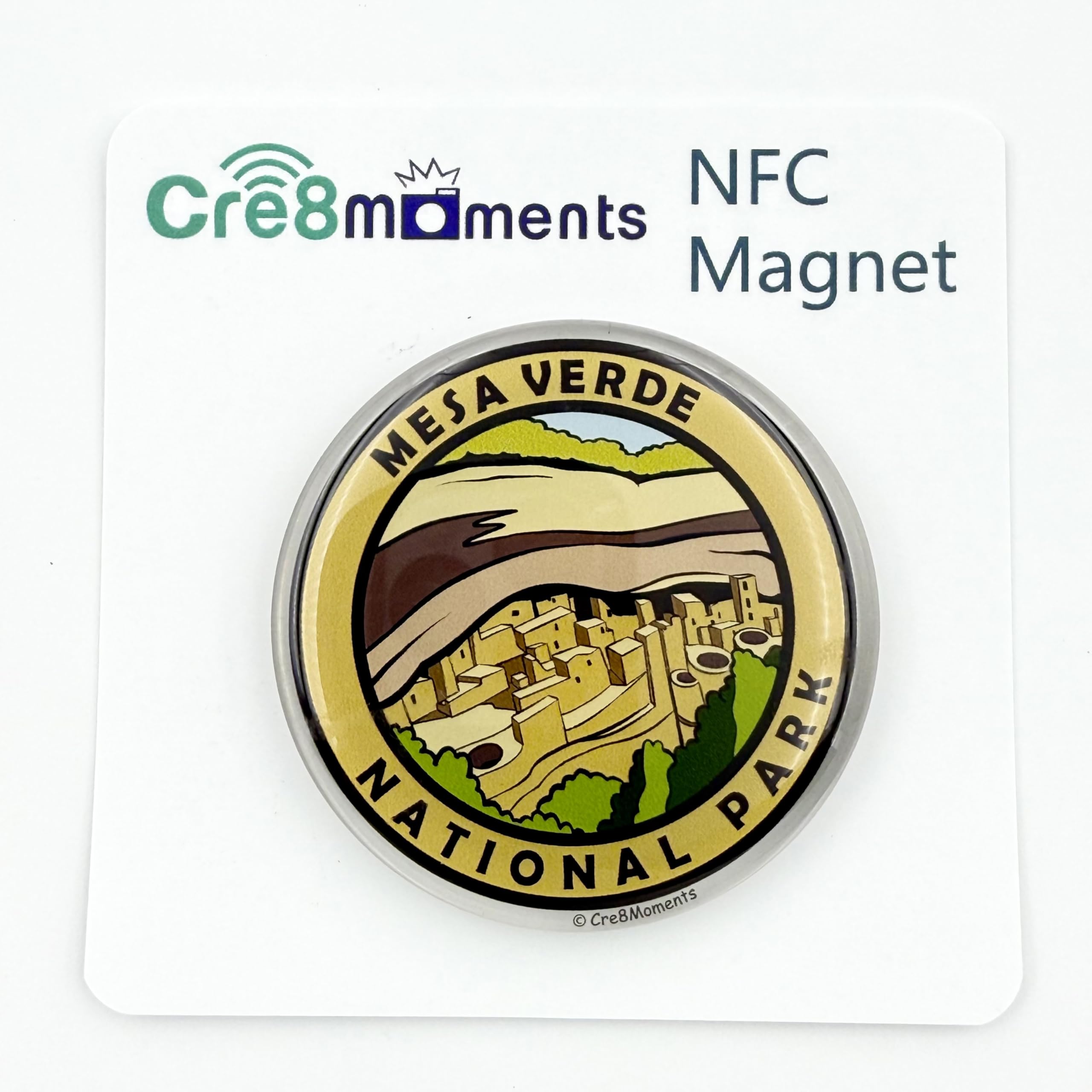 Mesa Verde National Park
NFC Magnet
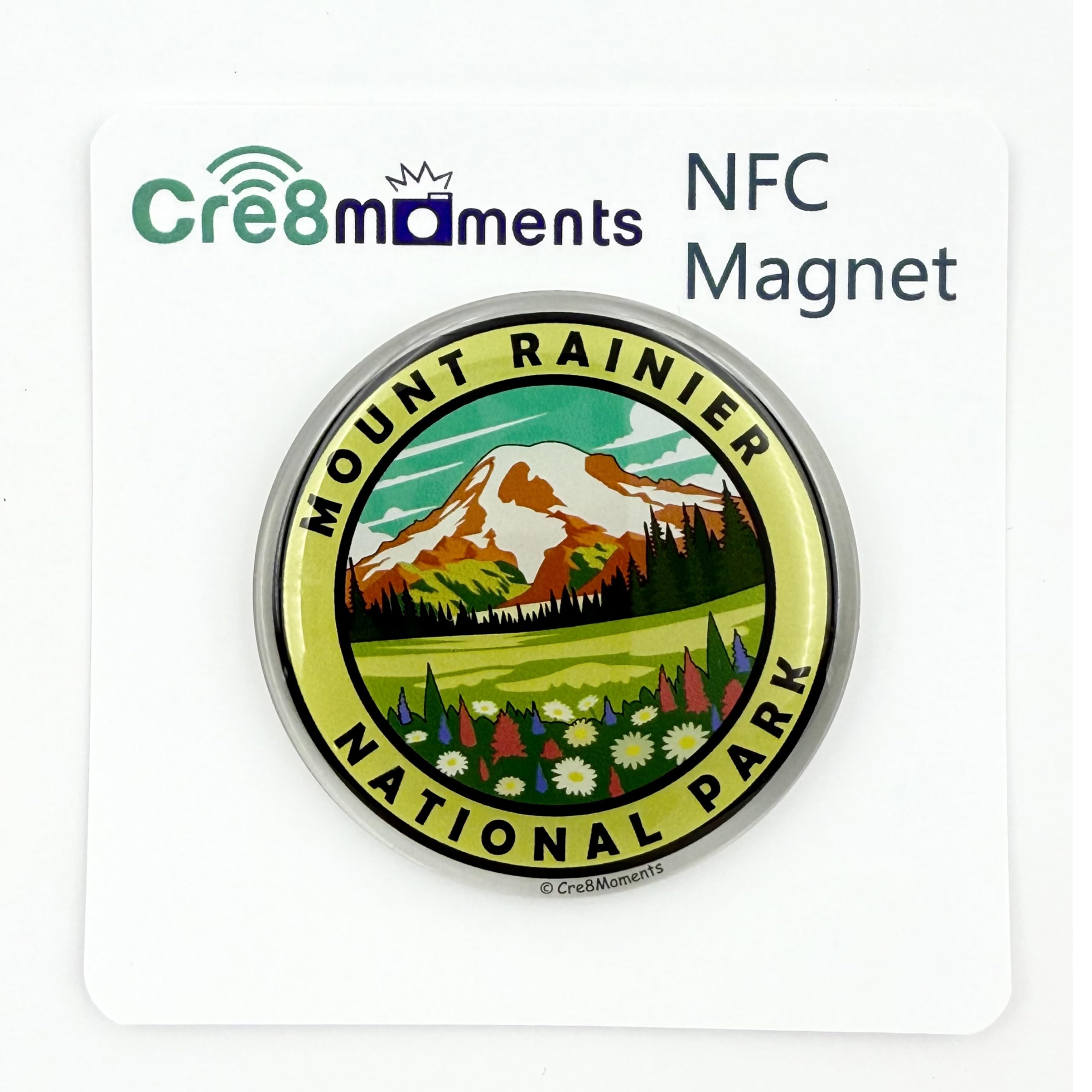 Mount Rainier National Park
NFC Magnet
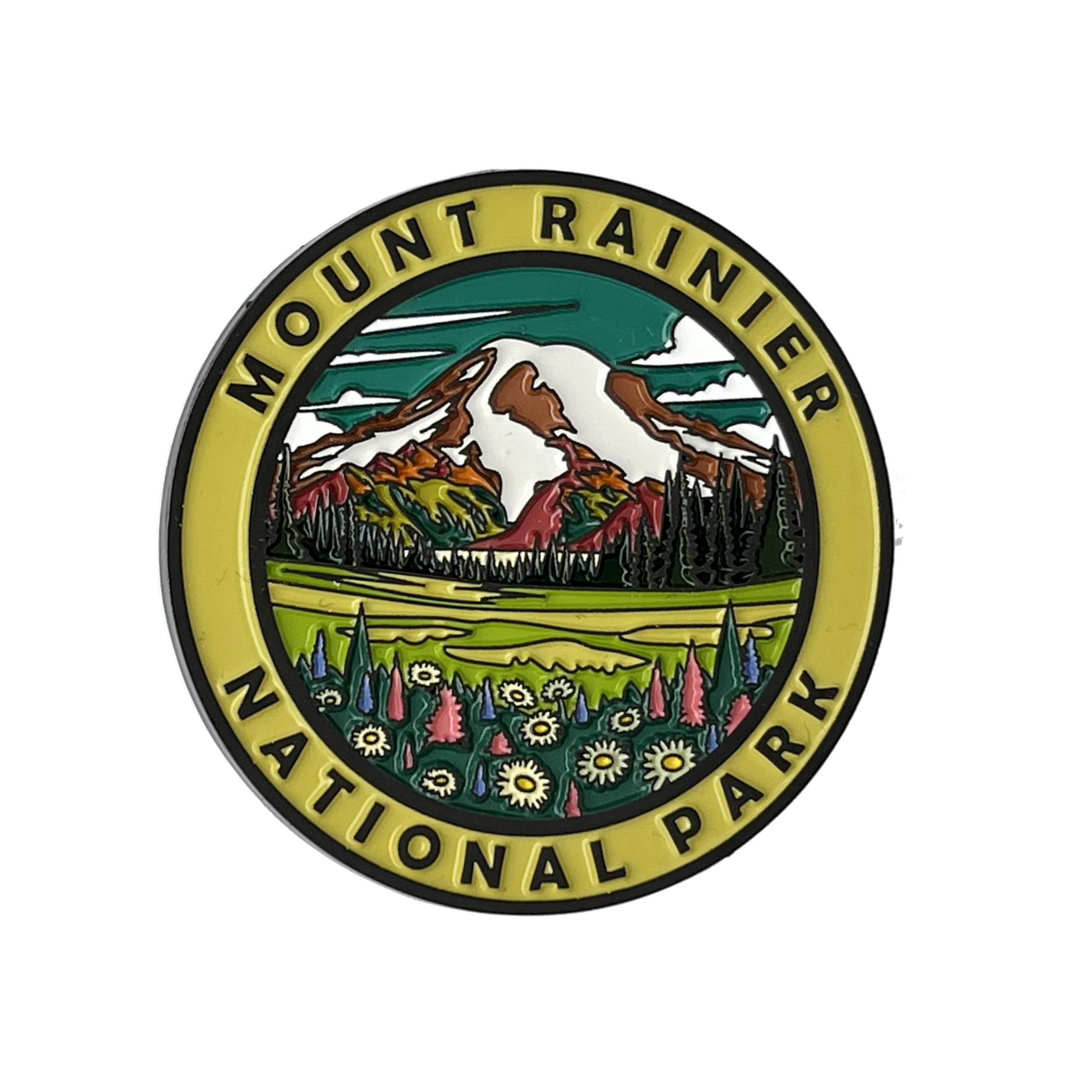 Mount Rainier National Park
Magnet
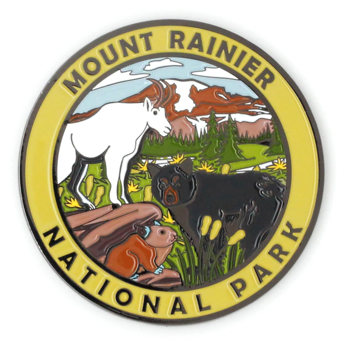 Mount Rainier National Park
Magnet
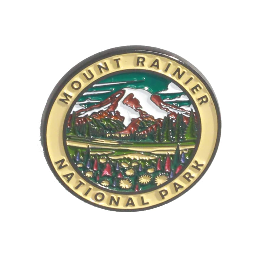 Mount Rainier National Park
Pin
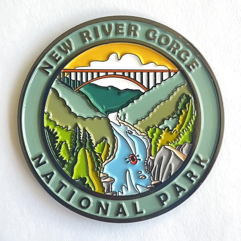 New River Gorge National Park and Preserve
Magnet
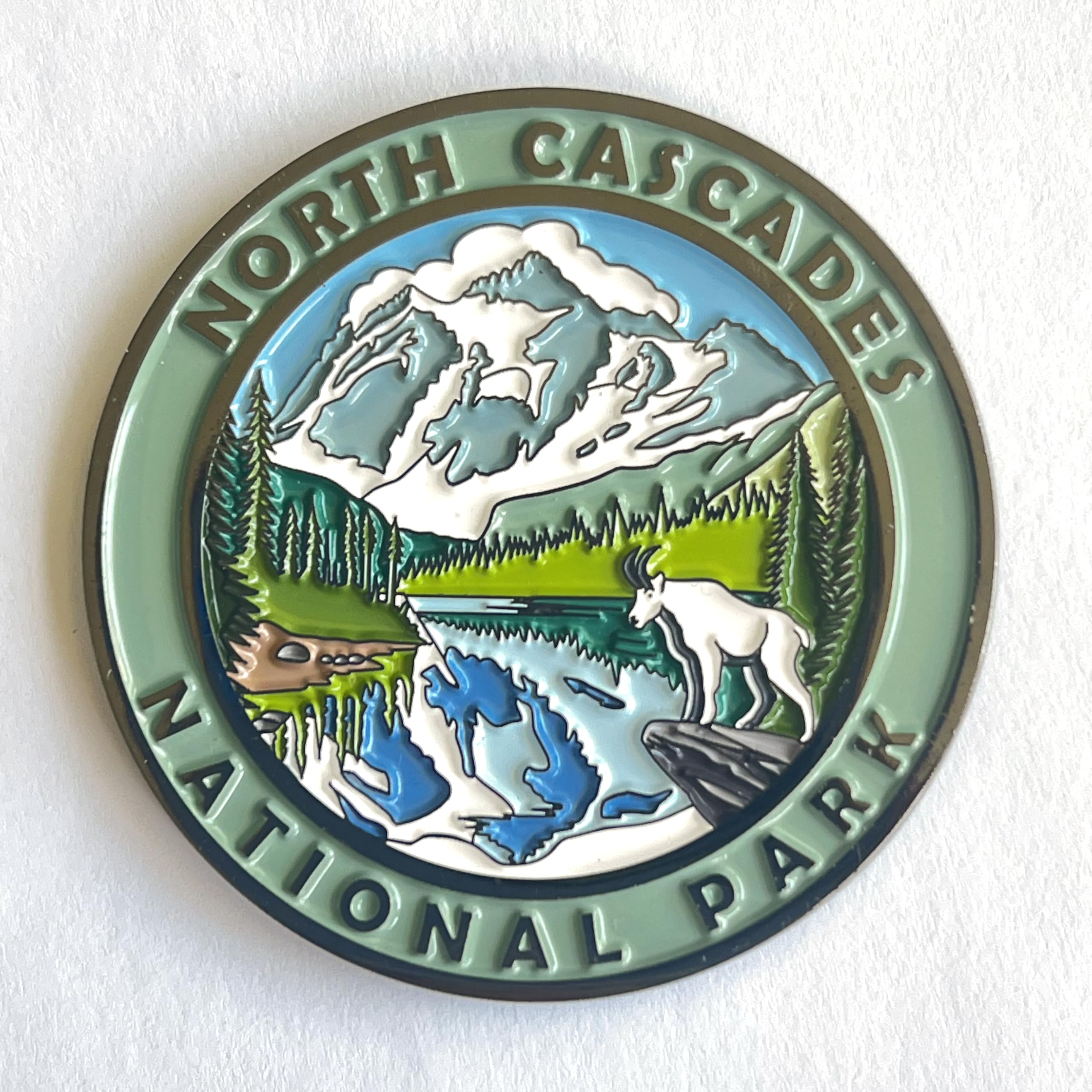 North Cascades National Park
Magnet
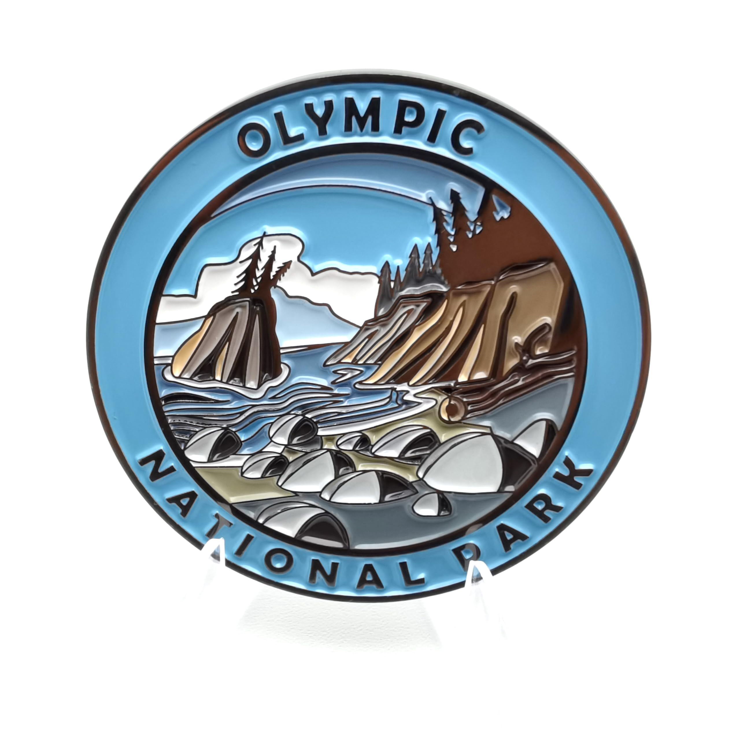 Olympic National Park
Magnet
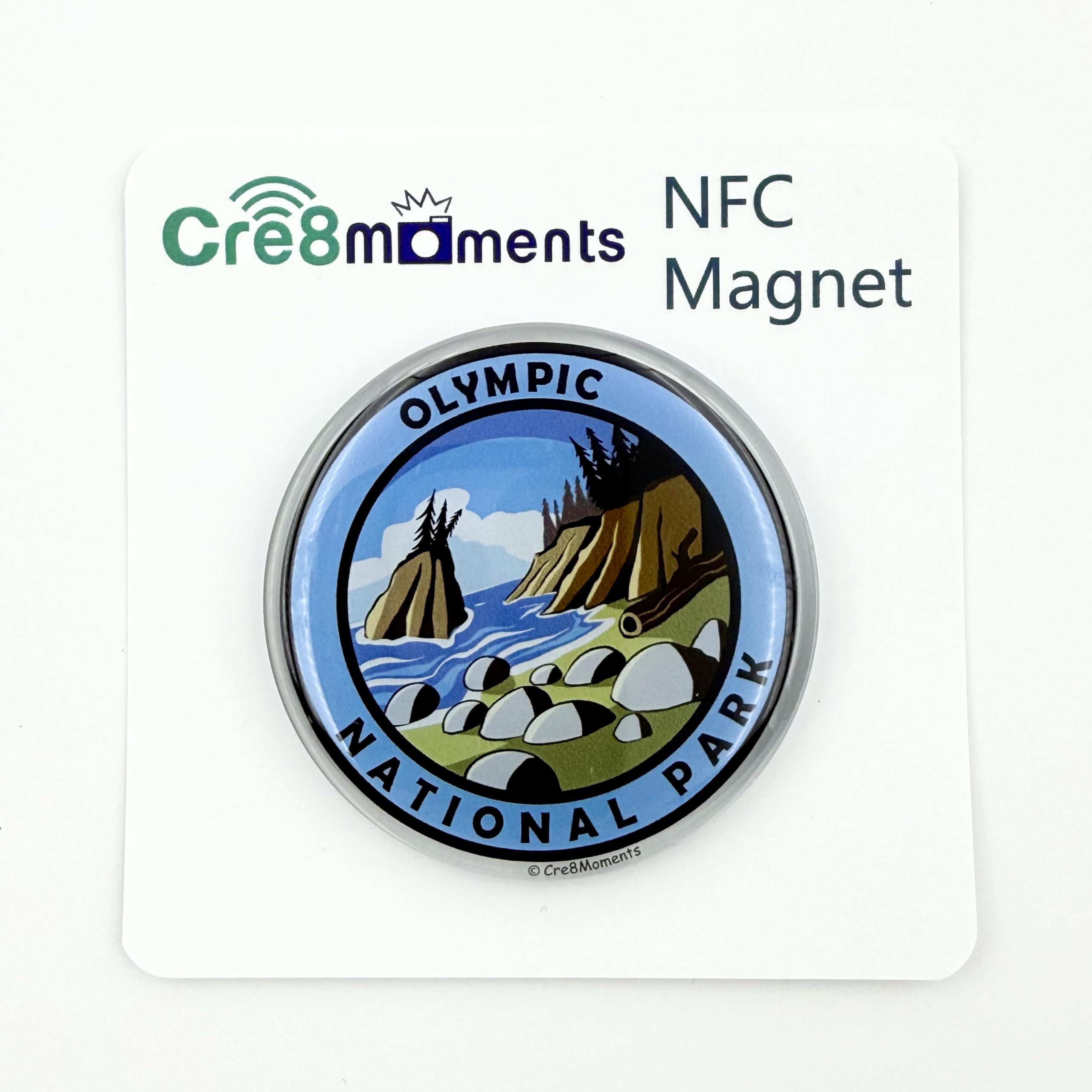 Olympic National Park
NFC Magnet
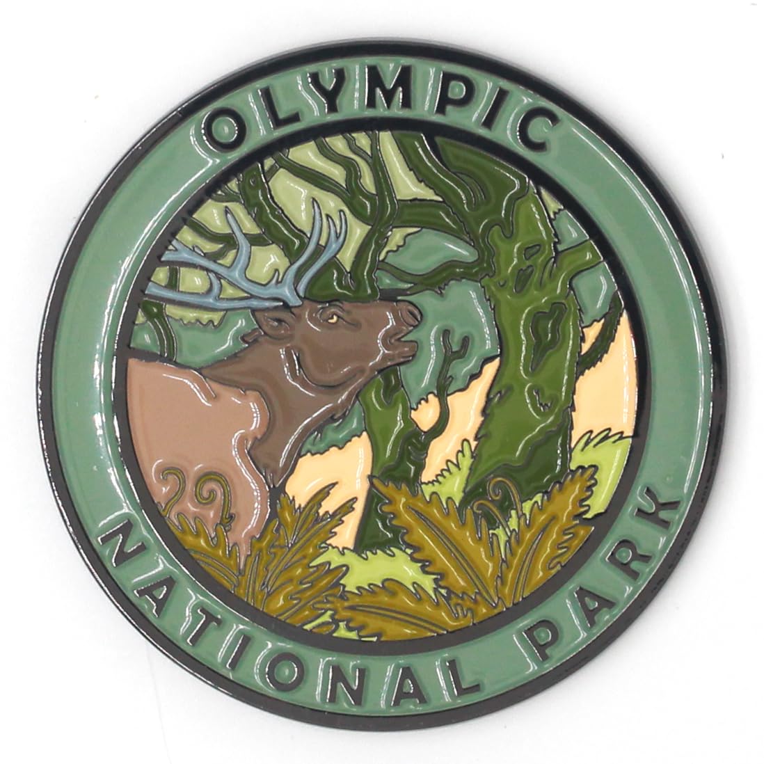 Olympic National Park
Magnet
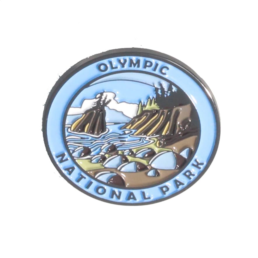 Olympic National Park
Pin
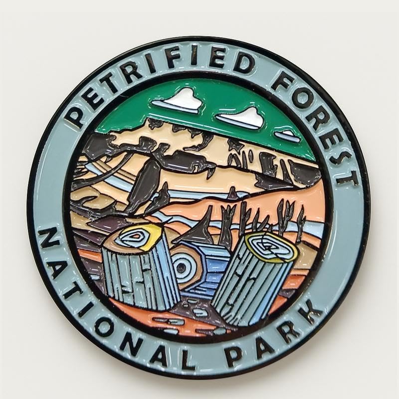 Petrified Forest National Park
Magnet
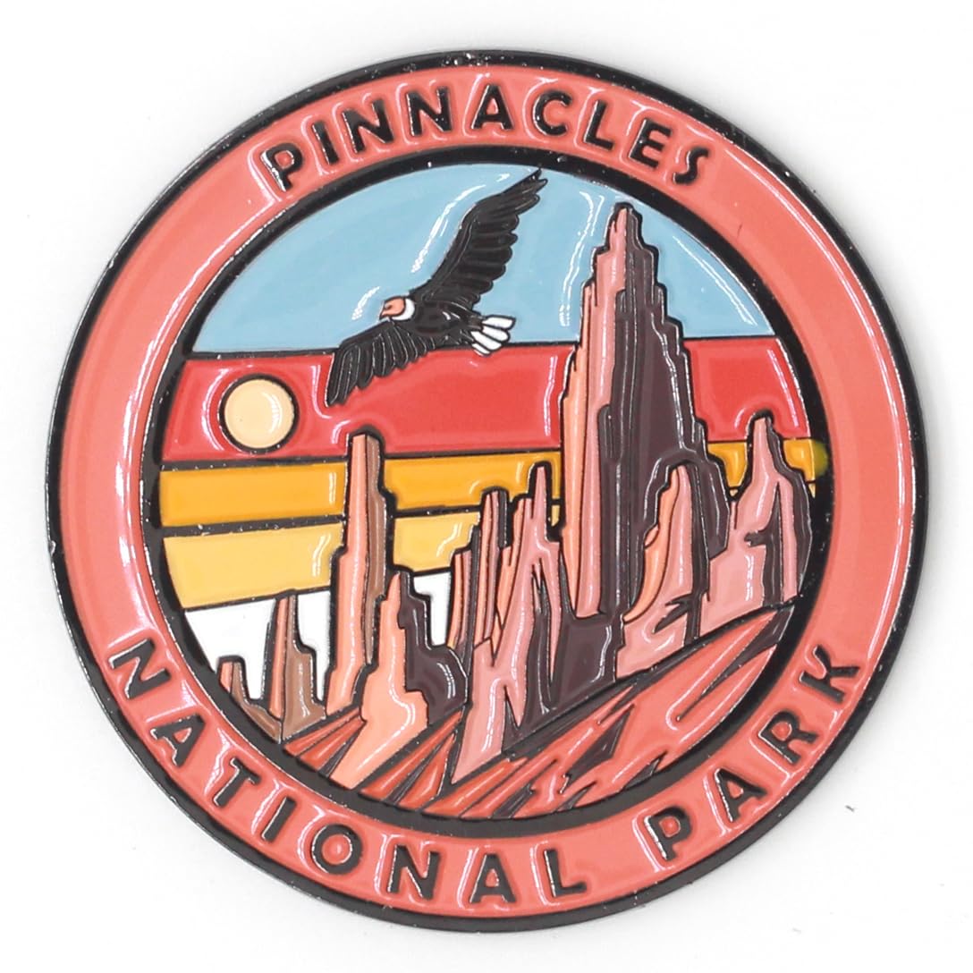 Pinnacles National Park
Magnet
 Redwood National Park
Magnet
 Redwood National Park
Magnet
 Redwood National Park
NFC Magnet
 Redwood National Park
Pin
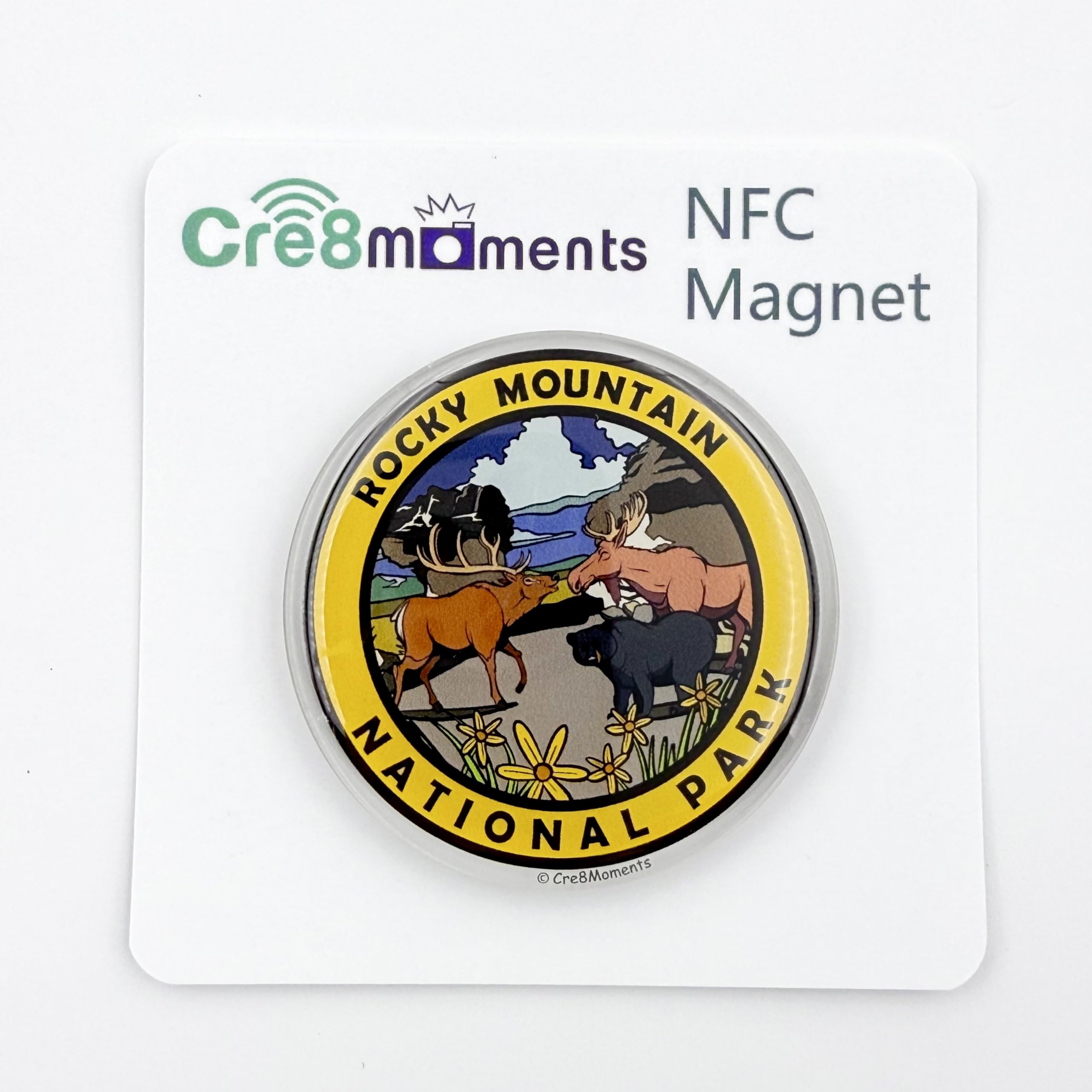 Rocky Mountain National Park
NFC Magnet
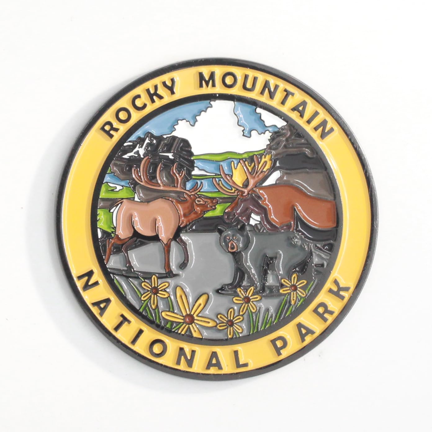 Rocky Mountain National Park
Magnet
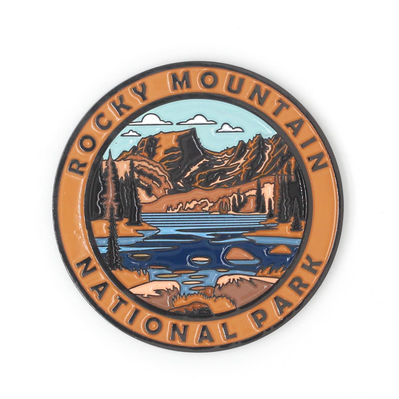 Rocky Mountain National Park
Magnet
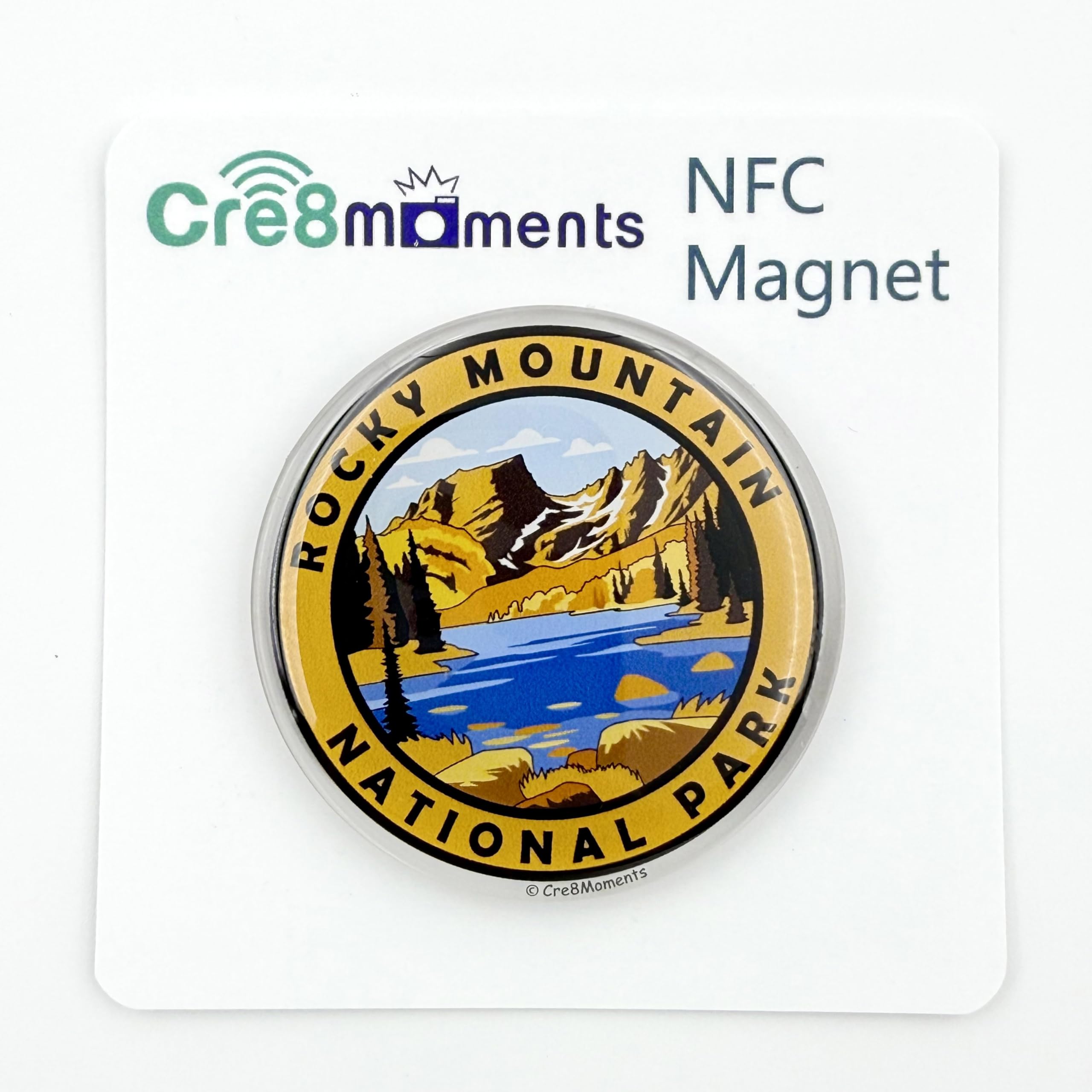 Rocky Mountain National Park
NFC Magnet
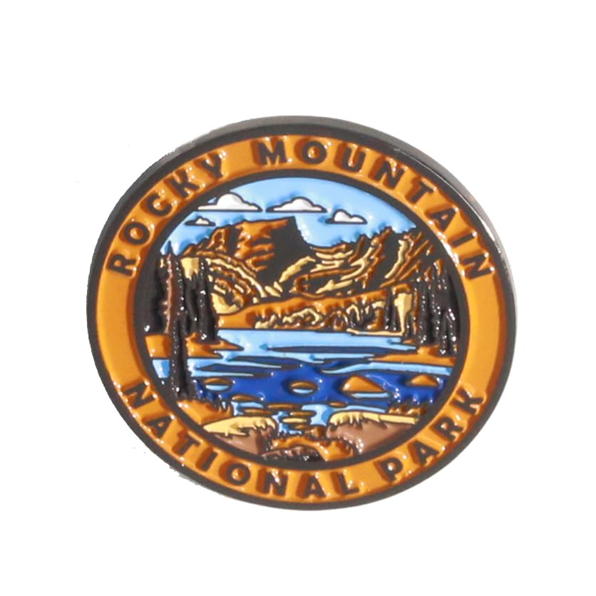 Rocky Mountain National Park
Pin
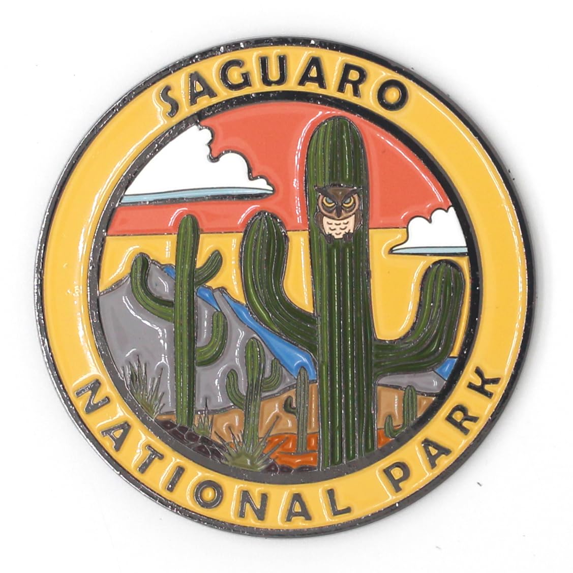 Saguaro National Park
Magnet
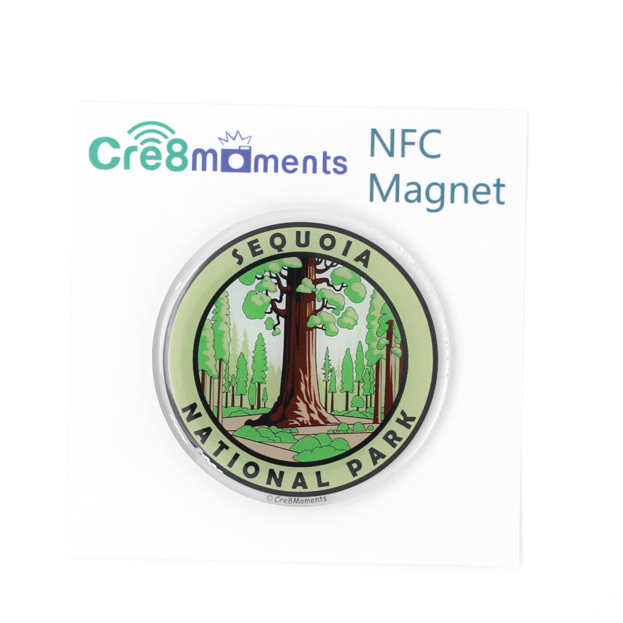 Sequoia National Park
NFC Magnet
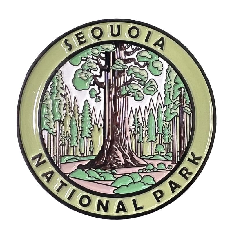 Sequoia National Park
Magnet
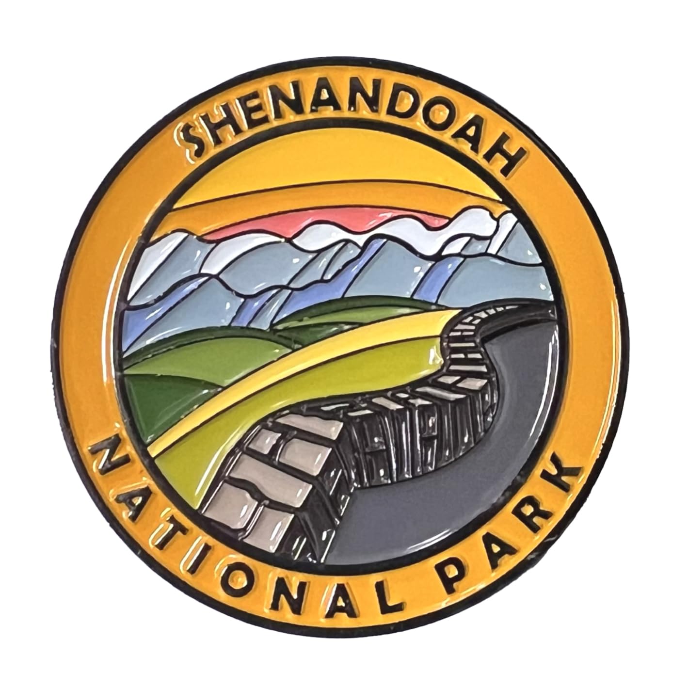 Shenandoah National Park
Magnet
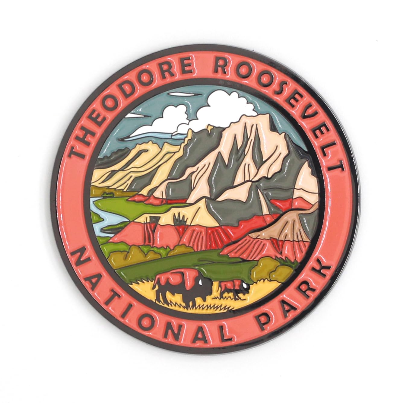 Theodore Roosevelt National Park
Magnet
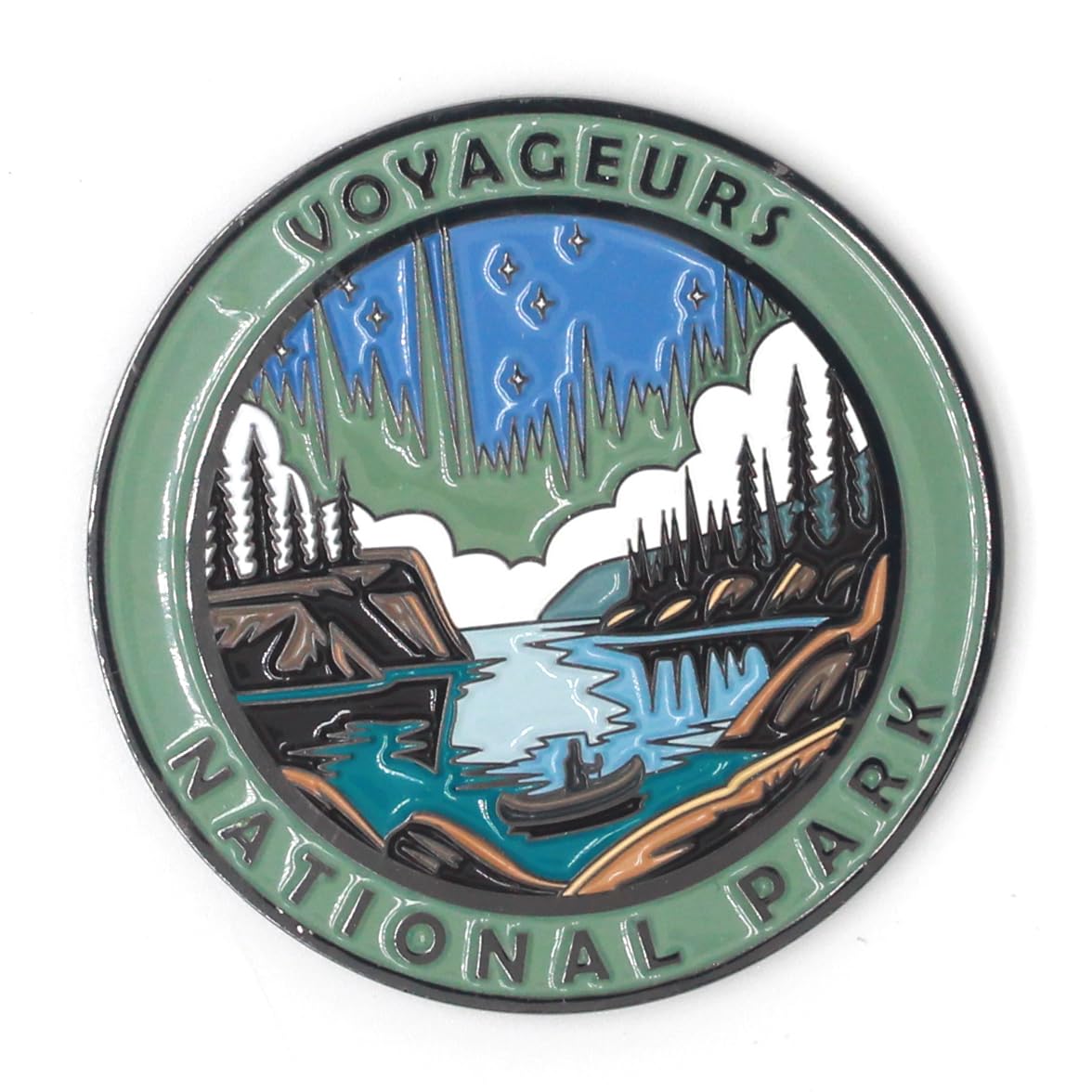 Voyageurs National Park
Magnet
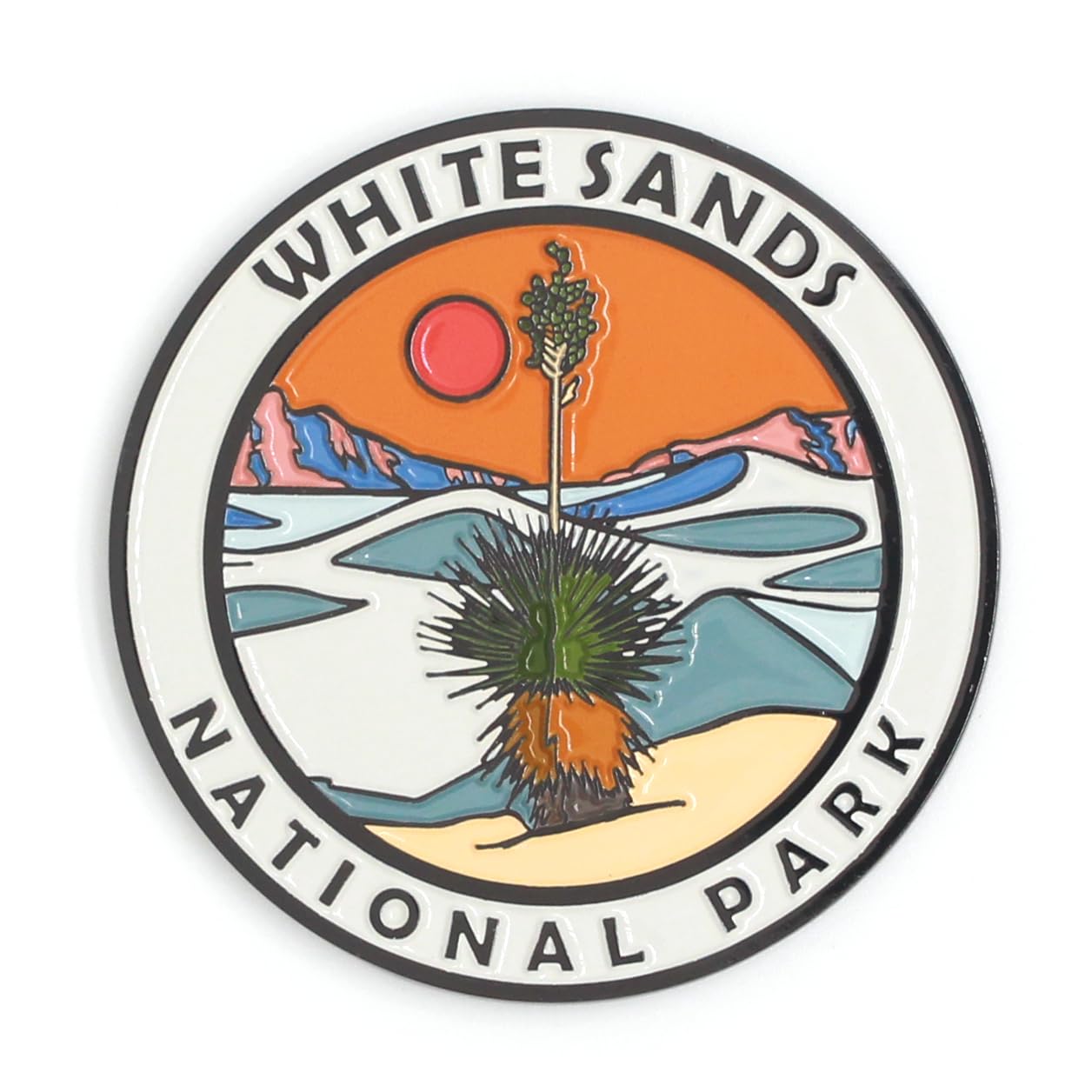 White Sands National Park
Magnet
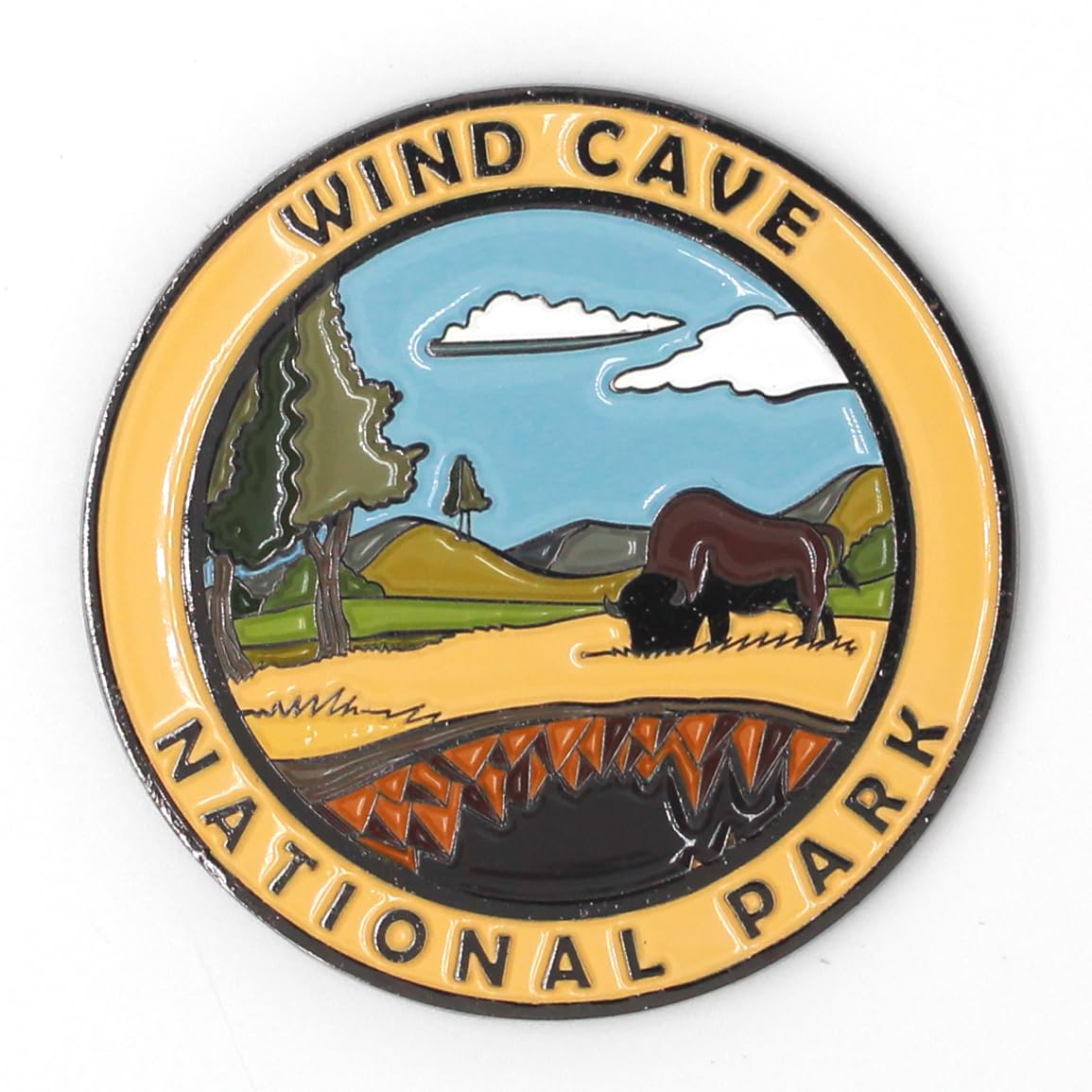 Wind Cave National Park
Magnet
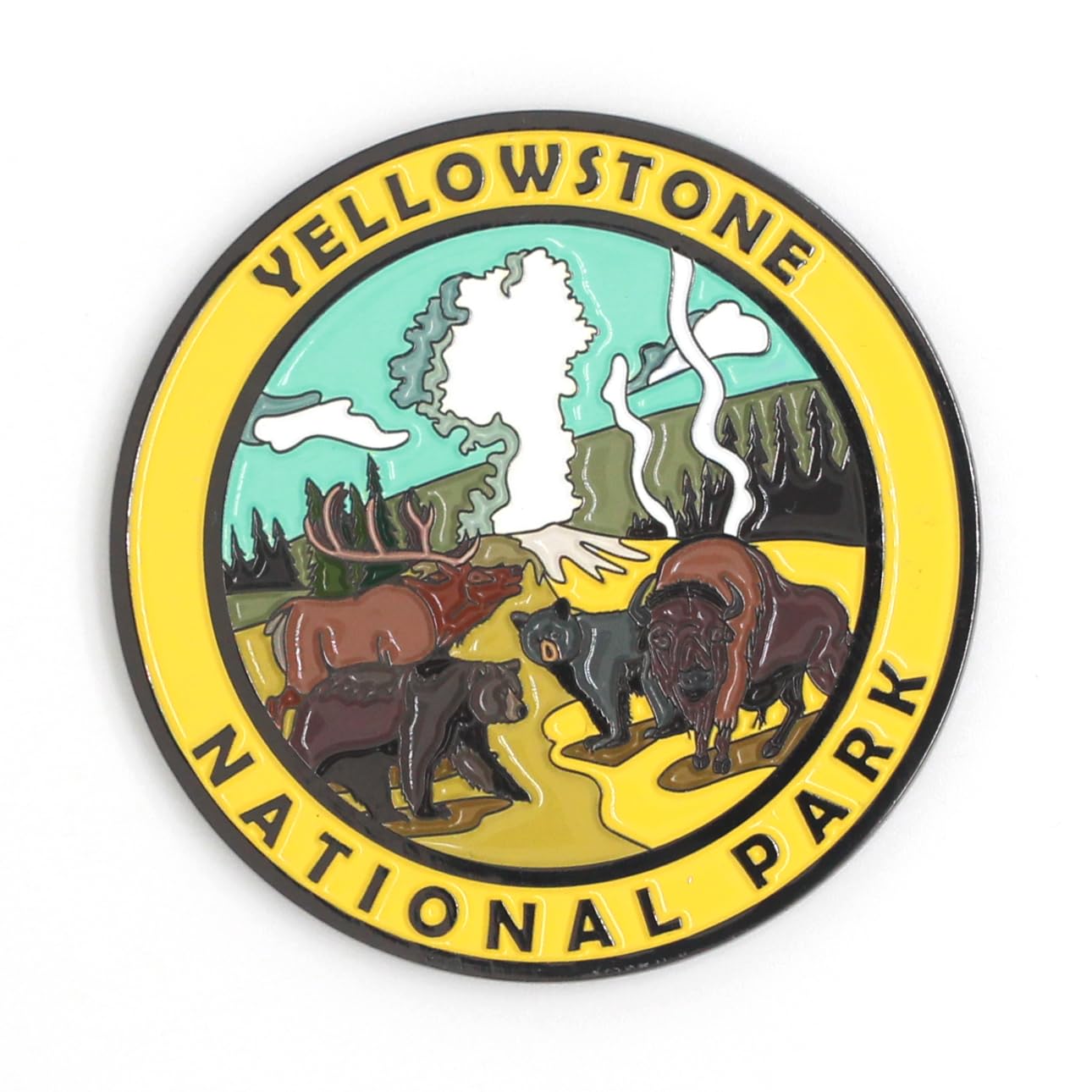 Yellowstone National Park
Magnet
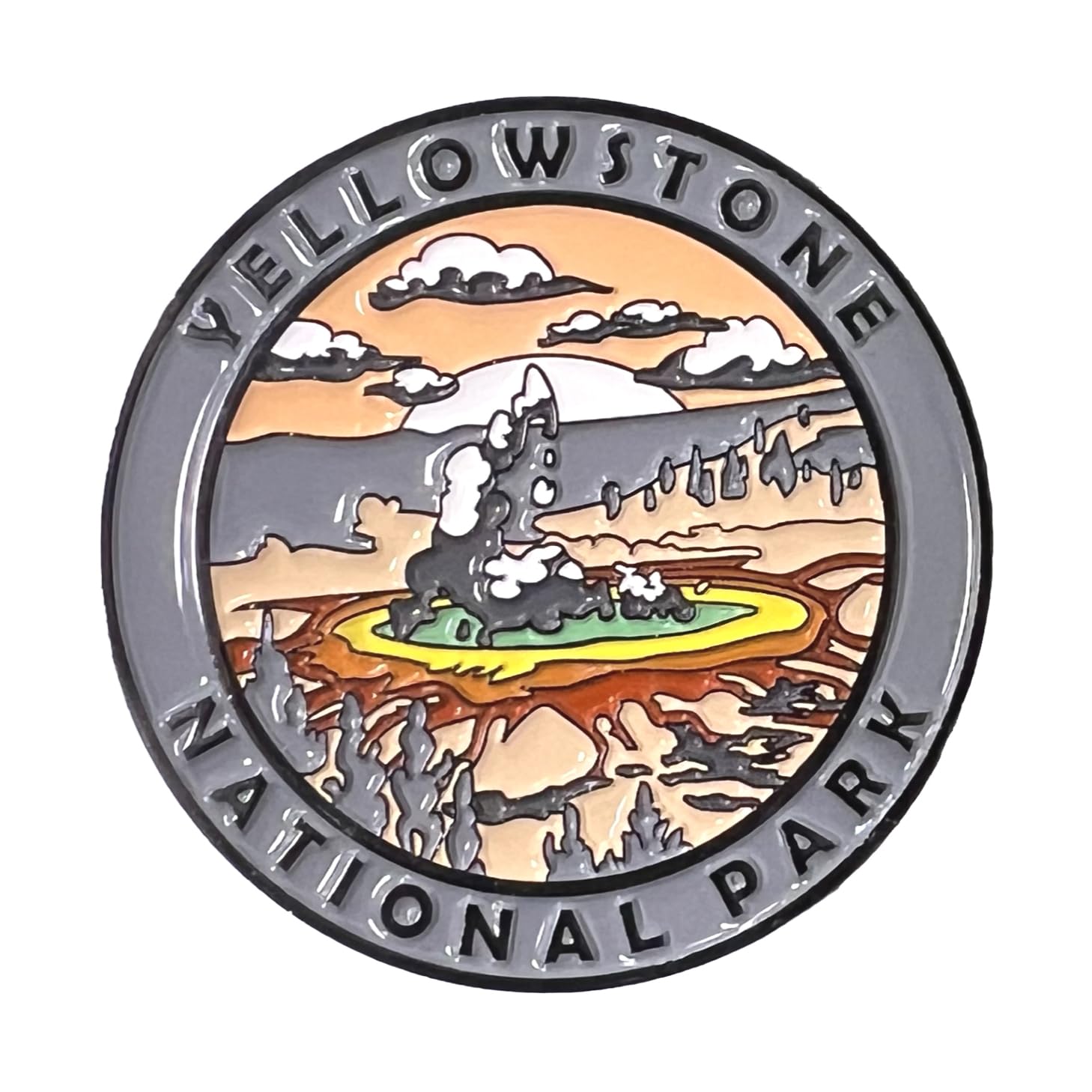 Yellowstone National Park
Magnet
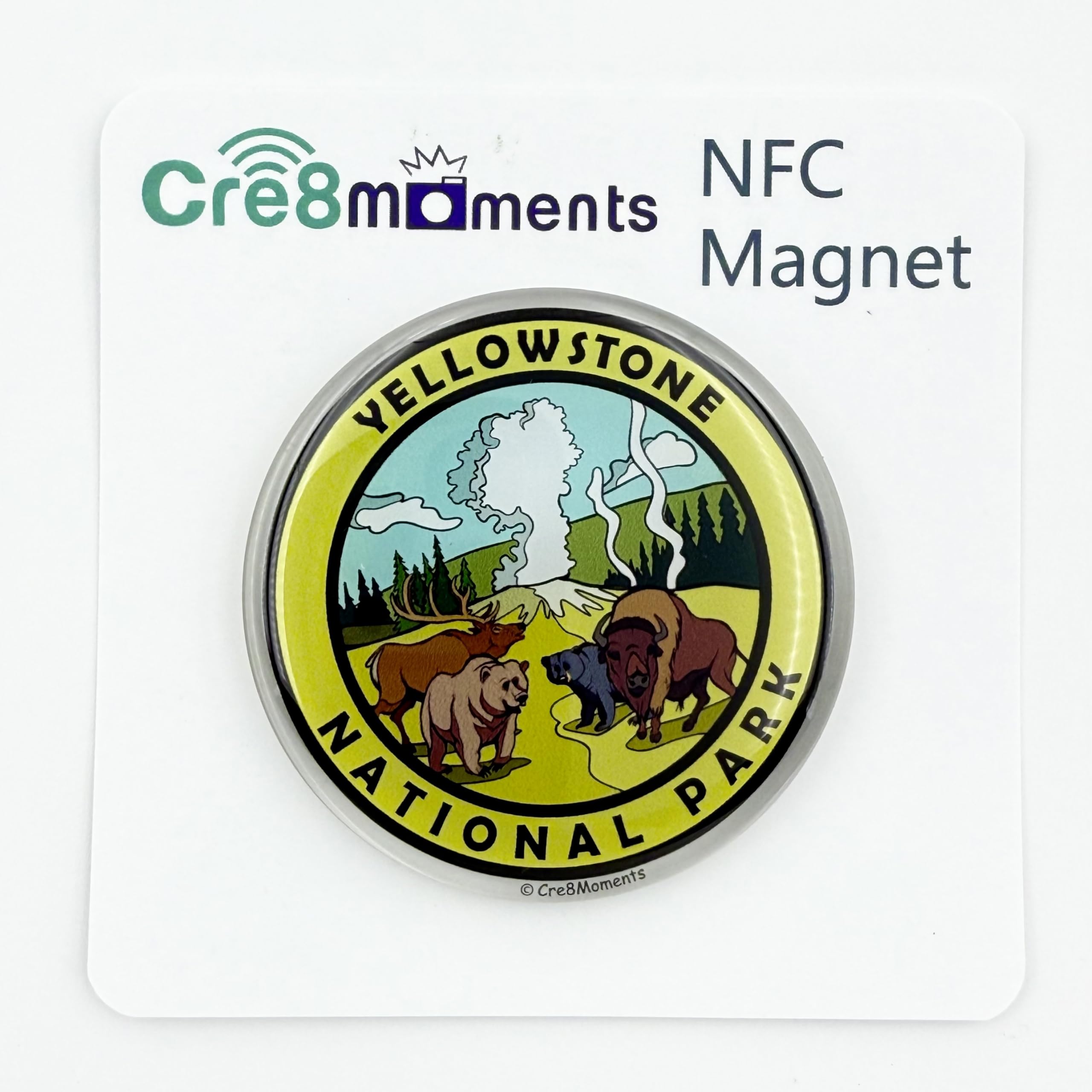 Yellowstone National Park
NFC Magnet
 Yellowstone National Park
Pin
 Yosemite National Park
Magnet
 Yosemite National Park
NFC Magnet
 Yosemite National Park
Pin
 Zion National Park
Magnet
 Zion National Park
NFC Magnet
 Zion National Park
Magnet
 Zion National Park
Magnet
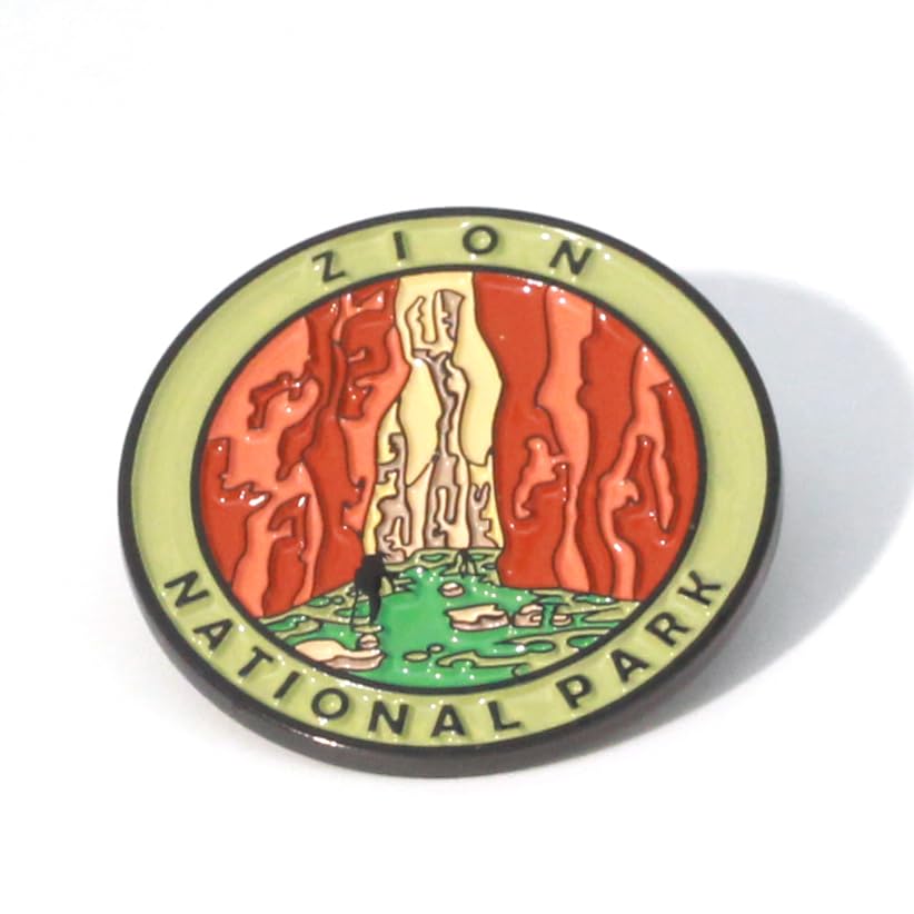 Zion National Park
Pin
Amazon Buyer Notes
Ordered this after we visited Kings Canyon and couldn't find any souvenirs we liked at the park... Very, very happy with this purchase! The magnet looks very well made. It's about 2in in diameter, colors are very bright and it has a nice glossy finish.
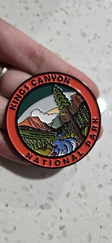
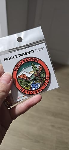
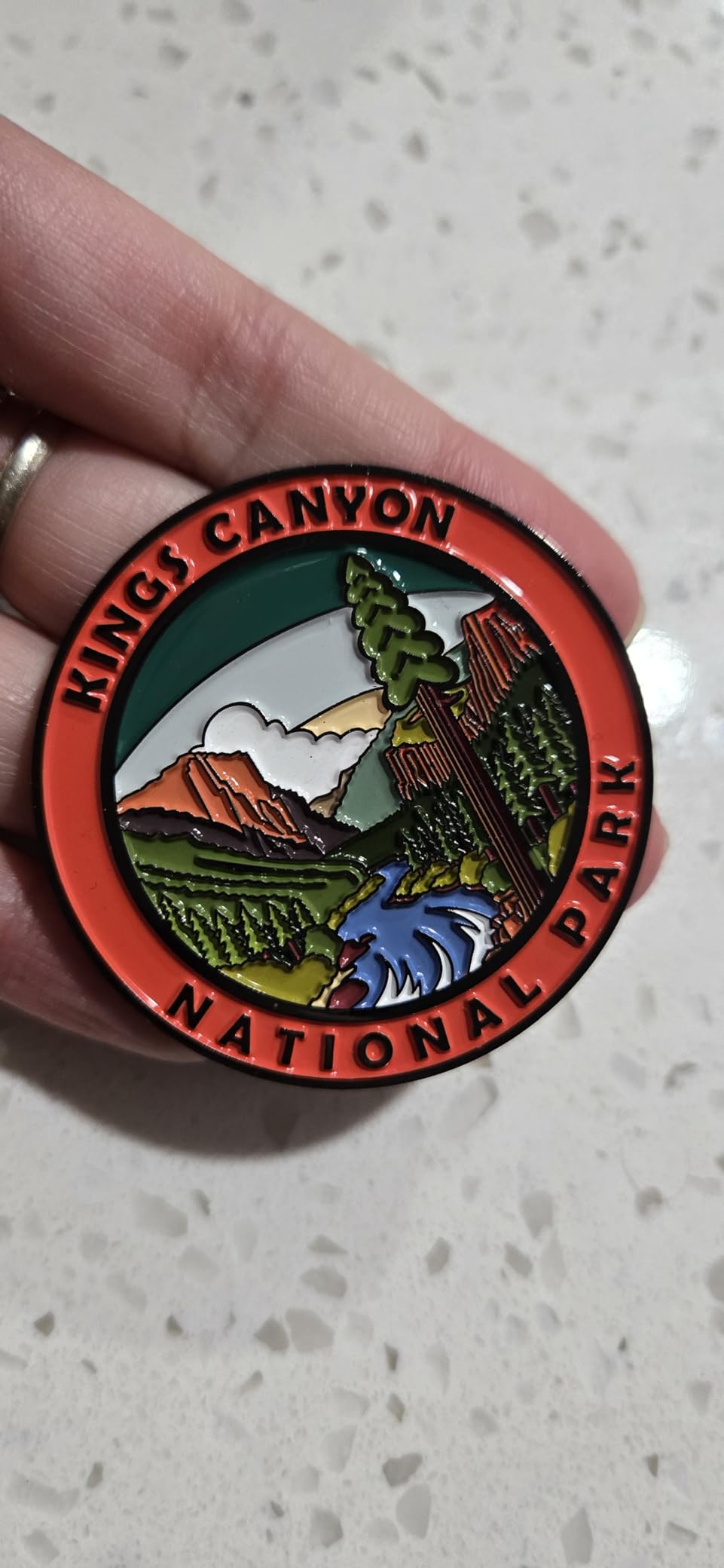
Use these magnets on our car. The magnet is strong and they look nice. The size is perfect for allowing multiple magnets to be used. Looking forward to adding more as we visit more national parks.
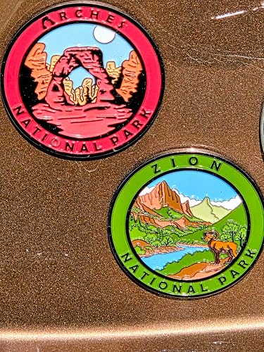
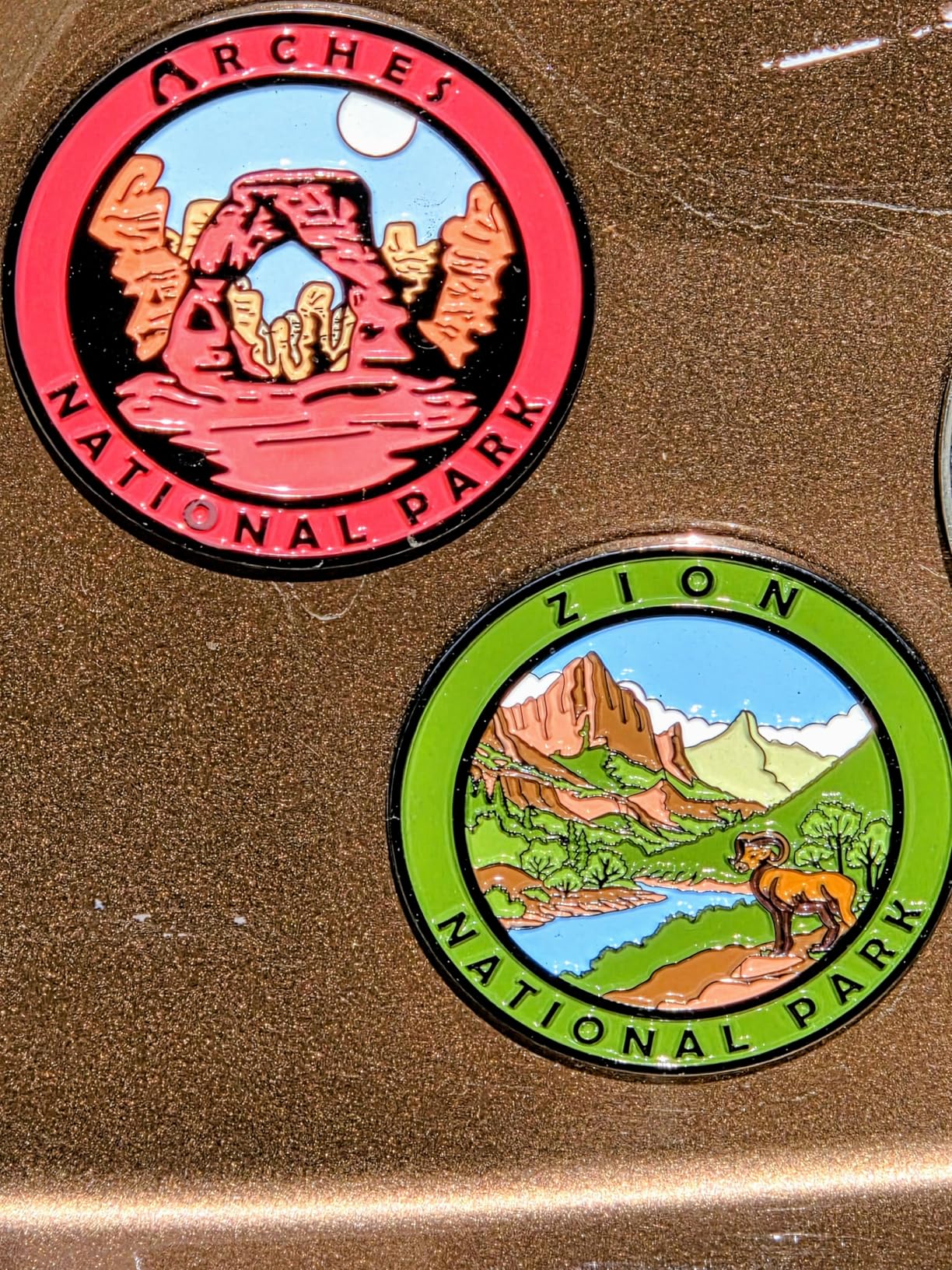
Love these magnets! They are exactly what I was looking for to start a collection of the places I have been to. They are high quality and the details in the artwork are beautiful!...
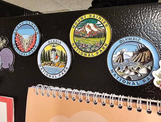
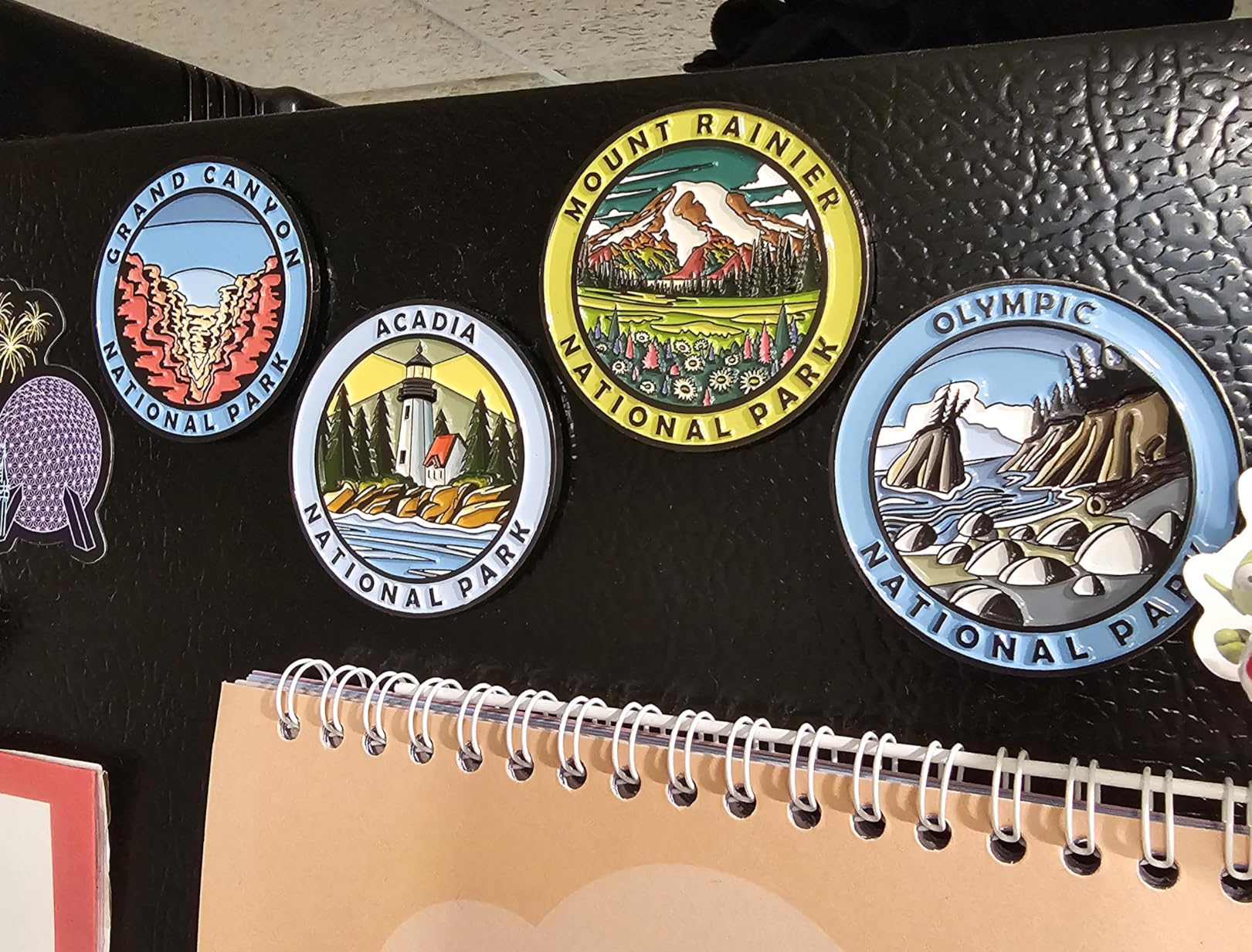
Cre8Travel magnets are just amazing. The finish the steadiness it’s better than my expectations. I recommend buying from them.
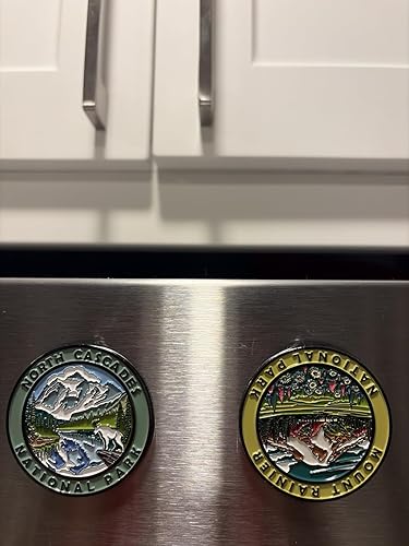
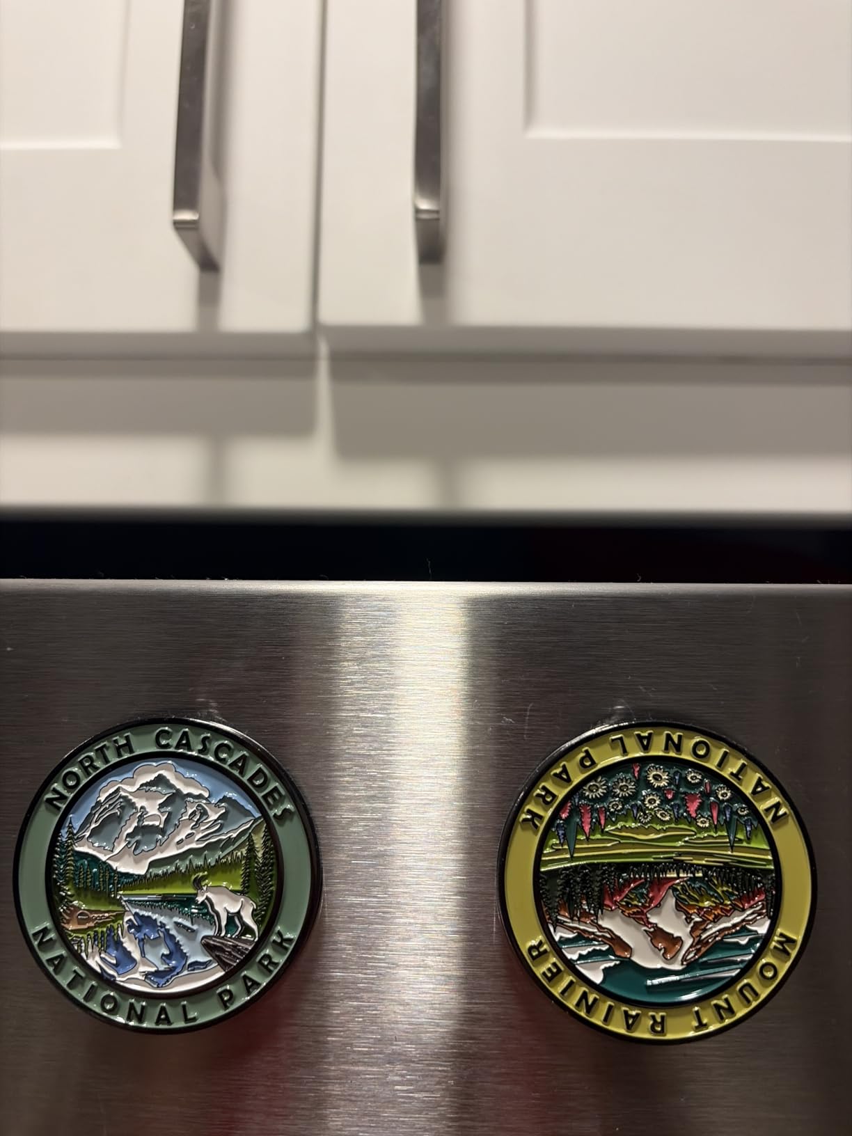
I purchased these magnets as a gift and they are much more impressive than I was even expecting. There is beautiful, radiant colors in each magnet. They stick well on the fridge. They are larger than i imagined too....
Bryce Canyon National Park / B0DBG235CB / Verified PurchaseView the reviewed productI bought a Great Smoky Mountains National Park fridge magnet recently, and it’s easily one of the best souvenir magnets I’ve come across....
Capitol Reef National Park / B0DB1K8FLH / Verified PurchaseView the reviewed productThese magnets are super cute, bright and compact. I tried several options for my national park collection, but I didn't like any of them. These ones I'm keeping for sure!
Kings Canyon National Park / B0F9957PSL / Verified PurchaseView the reviewed product