 Cre8Travel
CRE8TRAVEL · MAINE PLACES
Vassalboro Town Forest and Red Brook Trails
Vassalboro Town Forest: Choose a Loop and a Brookside Pause
Discover
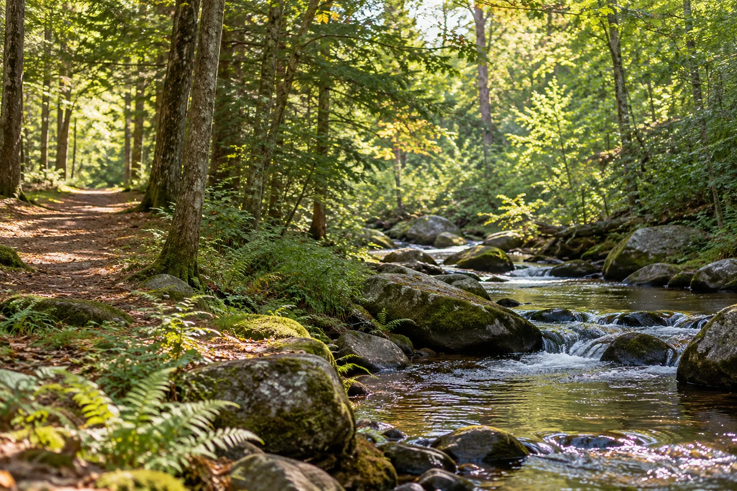
Vassalboro Town Forest offers connected woodland loops beside the town recreation fields, with an extension reaching Red Brook. Begin at the kiosk and parking area beside the public works garage on Bog Road, a short distance from Route 32. The town describes level terrain through hardwoods and softwoods, with bog bridging on the wetter western route. Use the current map to choose between a shorter forest circuit and the longer brookside outing.
Rebecca Goldfine's original account finds a peaceful break from activity around the playing fields. She enjoys the mostly flat, blazed paths and the opportunity to shape either a longer loop or several shorter walks. Her description connects a well-used snowmobile corridor with the Town Forest and Red Brook routes. Follow the designated walking network rather than assuming that the whole corridor system is part of the outing.
The town's 2021 trail committee report shows that this network developed through several kinds of practical work. Volunteers widened sections, replaced rotted bridging, and removed fallen trees, while public works crews created a parking area and a short link to the trail. The report also records the agreement with Kennebec Water District that made the Red Brook extension possible. A route described in a few lines required cooperation well beyond drawing it on a map.
A July 2026 report by Mary Grow describes another step: the water district completed a sale of roughly 26 acres to the town, including land already used by the Red Brook Trail with permission. The transaction followed a town vote. Its reported conditions included keeping a wooded buffer beside the district's remaining land. This recent history adds context to the public route without making every neighboring acre a new recreational entrance.
Goldfine especially appreciates the brookside sections and the benches that offer a place to enjoy them. Her route account includes brief links beside power lines before returning to the woods. Those changes can give a compact outing variety: a broader corridor, a more enclosed path, then water close enough to hold the attention. Leave time for one of those pauses rather than treating every junction only as a navigational task.
The town's description adds a historical layer where the western loop reaches the former Wiscasset, Waterville and Farmington Railway bed. It also asks walkers to stay on marked paths, keep pets under control, remove rubbish, and leave bicycles, horses, ATVs, camping, and fires out of the plan. Wear visible orange during hunting season. Check current signs and conditions before relying on an older account of any section.
A late-2025 committee meeting report makes continuing care visible. Members discussed moving bridge materials to a wetter route, improving signs, and marking a detour around another wet area, while thanking public works for help. Those were discussions about the town's broader trail system, not confirmation of a new facility at every location. They show why information and surfaces can change even when a familiar route remains a valued public resource.
For a record of the visit, choose a permitted viewpoint that explains the change between corridor, woodland, and brook. A photograph need not include all three at once; a short note can connect separate moments. Keep the selected route comfortable for the group, leaving a pause by the water as a deliberate part of the day rather than something to fit in only if time remains.
Fun facts
- The western town loop reaches the bed of a former narrow-gauge railway.
Before you go
- Follow marked trails, control pets, and observe the town’s activity restrictions.
- Choose the circuit that fits the group and current conditions.
Visitor perspectives
- Goldfine enjoys the peaceful, mostly flat woodland loops and the brookside sections with benches.
Capture
- Use separate views to explain the transitions between corridor, woods, and brook.
 Litchfield Community Park
 Coastal Maine Botanical Gardens
 Calumet Park
Social
Town Forest loops connect with the Red Brook extension.
Goldfine enjoys a peaceful woodland break and brookside benches.
Volunteer work and public works support helped establish the route.
A 2026 land transfer added protection around an already permitted trail.
Maintenance discussions show the continuing work behind a familiar walk.
A pause beside water can belong in the plan from the beginning.
Notice how a change of setting changes the pace.
Let the return leave time to enjoy a chosen section again.
Hashtags