 Cre8Travel
CRE8TRAVEL · MAINE PLACES
Taylor Pond, Mount Vernon
Taylor Pond: Stream, Dam, and Shallow-Water Habitat
Discover
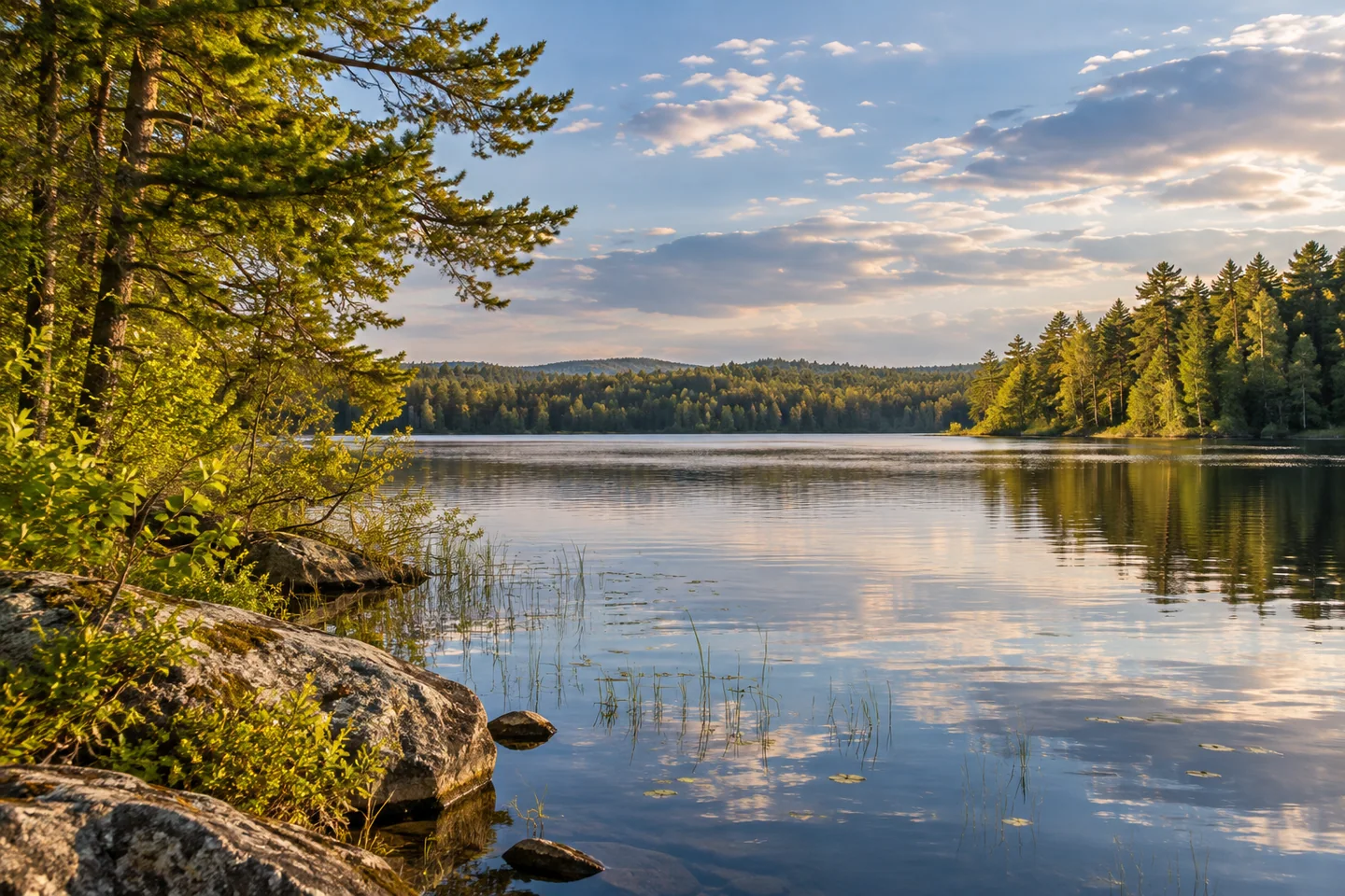
Taylor Pond in Mount Vernon is a small water destination at the lower end of Hopkins Stream. The state fisheries survey records 66 acres and a maximum depth of 15 feet. Its defining feature is a dam a short distance above Echo Lake: without that structure, the survey explains, the pond would be a broad section of stream. That relationship gives a quiet outing an interesting starting question about how the water landscape has been shaped.
The state's public boat-site directory lists a Taylor Pond launch in Mount Vernon.
The historical survey locates the approach near the dam on the southeastern side, opposite a chimney. Check the current layout and conditions before unloading. The same account describes a mud-and-sand bottom with abundant aquatic plants. Vegetation provides both places where larger fish can wait for prey and shelter for smaller fish, giving the shallow margins an ecological role beyond their appearance from a boat.
Taylor belongs to the connected 30 Mile River watershed. The watershed association explains that this drainage ultimately reaches the Androscoggin through the Dead River. Its definition includes the surrounding land and the people, roads, farms, and buildings upon it. Looking at a pond with that context in mind shifts attention beyond the waterline: what happens on the slopes and developed ground matters to the water below.
A recent local effort makes that relationship concrete. In April 2026, twenty-two volunteers and technical staff surveyed the Echo Lake and Taylor Pond watershed, working in six teams. They examined shoreline properties and stream crossings for erosion and runoff problems. The association's May report identified more than 115 sites needing follow-up. These were preliminary findings, with data organization, further fieldwork, landowner advice, and a fuller report still ahead at the time of publication.
The effort involved the Echo Lake Association, Maine DEP, the watershed association, and the Kennebec Land Trust. It offers another way to understand the view: the pond's condition depends partly on patient work around its drainage area. The survey does not establish a visitor activity on private shoreline properties or a current water-quality guarantee.
Austin Watts's original boating journal records a June 4, 2024 visit with Bride, a small sailing pram he had built after retiring. At Taylor he used a dirt approach off Route 41, noticed relatively little development, and found trees sheltering much of the wind. He liked the place. Those impressions belong to that sunny day's outing, without promising the same wind or shore conditions to someone arriving later.
The visit formed part of a personal project to use boats he had enjoyed building. His eventual year included 121 Maine waters, with 100 new to him. Taylor's brief entry gives a modest pond a place within that larger undertaking: an enjoyable stop can be worth remembering without an elaborate itinerary.
For your own record, choose a view that connects open water with one detail along its edge. Let the outing leave time to return and load without rushing. A short note about what held your attention can make the memory more particular than a checklist of places reached.
Fun facts
- The historical survey explains that a dam maintains the pond above Echo Lake.
Before you go
- Check the present launch layout before unloading.
- Give the return and loading enough time.
Visitor perspectives
- Watts enjoyed a Taylor Pond stop with his small sailing pram, noticing a relatively undeveloped shore and trees sheltering the wind.
Capture
- Connect the open pond with a small shoreline detail from a permitted position.
 Fogg Island Preserve and Trail
 Fort Sumner Park
 Fort Hill Park, Gorham
Social
Taylor Pond occupies the lower end of Hopkins Stream.
Its watershed connects to the Androscoggin through the Dead River.
A 2026 watershed survey examined erosion and runoff issues.
Watts remembers a pleasant stop with his small sailing pram.
A short outing can leave a specific memory.
Let the shoreline detail complement the wider view.
Leave loading space ready for the next visitor.
What would hold your attention on a small pond?
Hashtags