 Cre8Travel
CRE8TRAVEL · MAINE PLACES
Mount Cutler
Mount Cutler: Follow the Woodland to the Ledges
Discover
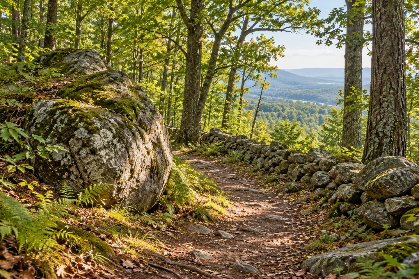
Mount Cutler in Hiram offers a network of wooded paths and rocky viewpoints above the Saco River valley. The public conservation area links the mountain land protected by the town with Merrill Park on its front slopes. Start with the current map and the designated Hiram Hill Road trailhead, then choose a route that fits the day's energy and conditions. The appeal is a sequence of changing woodland and ledges, with several reasons to pause rather than a requirement to reach a single highest point.
The named trails give that sequence some definition. North Trail approaches through the forest and provides connections toward the upper routes. Boulder Trail introduces large rocks, old stone walls, and traces of earlier pasture boundaries, while Ridge Walk crosses distinctive woodland of ironwood, oak, and ash. Barnes Trail climbs the front more steeply over rocky ground. These are different experiences within one mountain park, so read the map before joining them into a loop and leave enough time for the descent as well as the ascent.
Undercover Hiker's original account finds impressive views on a relatively short mountain outing and appreciates having several route choices. The front ledges look over Hiram and the Saco River valley, while a ridge walk opens the view toward the White Mountains. The writer also distinguishes the ledge route from the actual summit on private land. That is a helpful way to understand the destination: the public paths and outlooks provide the outing's purpose, without needing to leave them for a summit label on a map.
Carey Kish's visit adds a personal conservation story to those views. He walks with longtime Hiram resident Dan Hester, whose concern about development led him to buy the mountain parcel before working toward permanent protection. Kish then takes North and White Flag trails toward the ledges, finding both the valley outlook and the changing trees along the ridge worth repeated stops. His account connects the pleasure of a walk with the local commitment that kept this place available for it.
Town ownership followed a conservation effort supported by a federal Land and Water Conservation Fund grant. Merrill Park has its own earlier community history, including land associated with Dr. Barnes and hiking paths created on the front of the mountain. Together the protected areas support walking, nature study, and other permitted outdoor uses. That layered history is visible in the network's character: paths named for people, wooded slopes with traces of past land use, and outlooks that have drawn generations of local walkers.
Practical choices matter here. The direct Barnes route includes steep and eroded sections, so an attractive line on the map may feel quite different when descending. Keep away from the active well identified near North Trail and respect the boundary toward private land. Build the outing around the forest paths rather than using railroad tracks as a walking connection. With a route selected in advance, the climb can become a series of attainable stages: a woodland junction, a change in trees, an open ledge, and time to enjoy the valley before heading back.
Before you go
- Stay away from the well and respect private boundaries; use forest paths rather than railroad tracks.
Visitor perspectives
- Undercover Hiker enjoys the views and route choices, distinguishing public ledge trails from the privately owned summit.
- Kish enjoys the ledges and ridge woodland while describing his walk with conservation advocate Dan Hester.
Capture
- From secure footing, compose one view with a nearby ledge edge in the foreground.
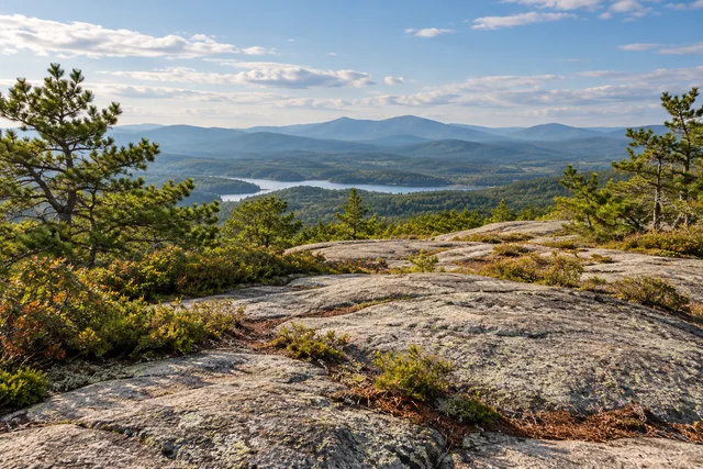 Jockey Cap
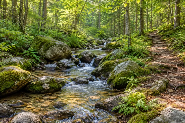 Burnt Meadow Mountains
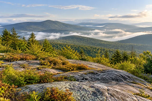 Puzzle Mountain
Social
Town conservation land and Merrill Park make up a connected mountain outing.
Pause where the woodland invites a closer look.
Undercover Hiker appreciates the views and variety of public routes.
Carey Kish’s walk connects the landscape with Dan Hester’s conservation work.
Descend Barnes Trail carefully.
The mountain’s paths carry a history of local effort and public protection.
A succession of outlooks can be more rewarding than chasing a summit label.
Give the return walk the same attention as the climb.
Hashtags